The Scult

Island in Shetland

Scotland

The Scult

The road to Lunna
The road to Lunna Credit: Oliver Dixon

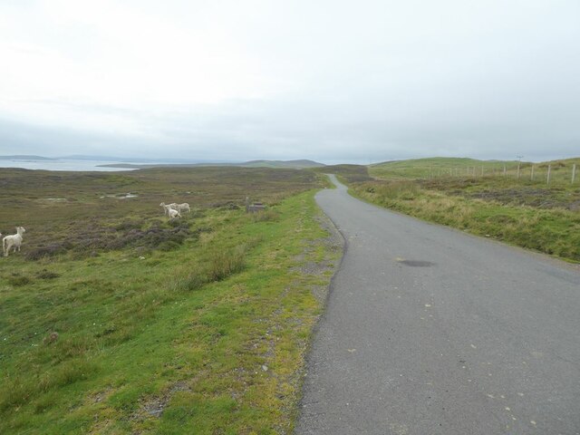
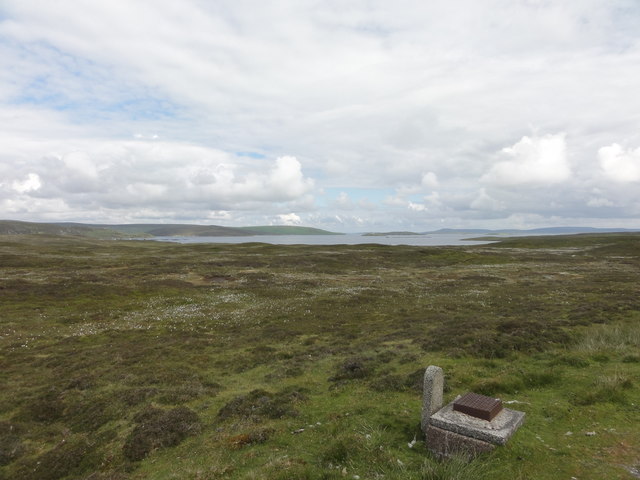
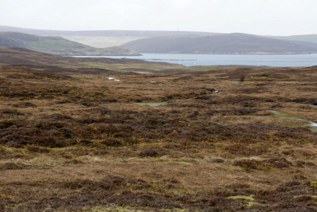
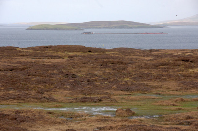
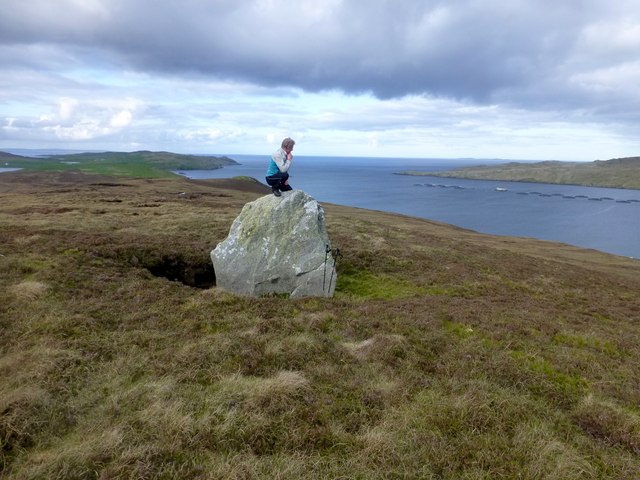
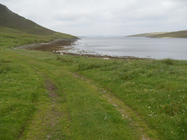
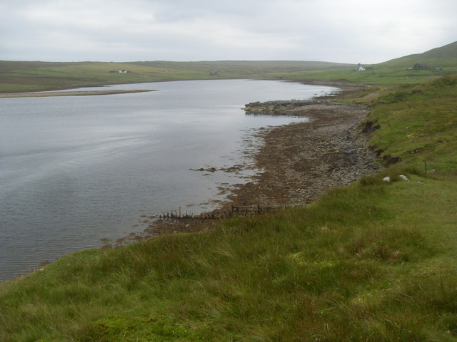
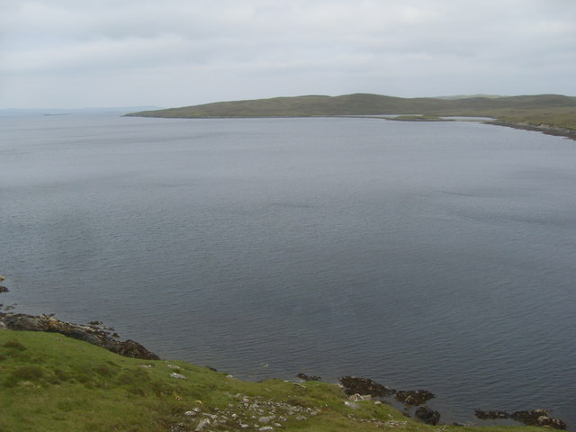
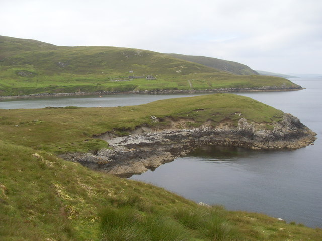
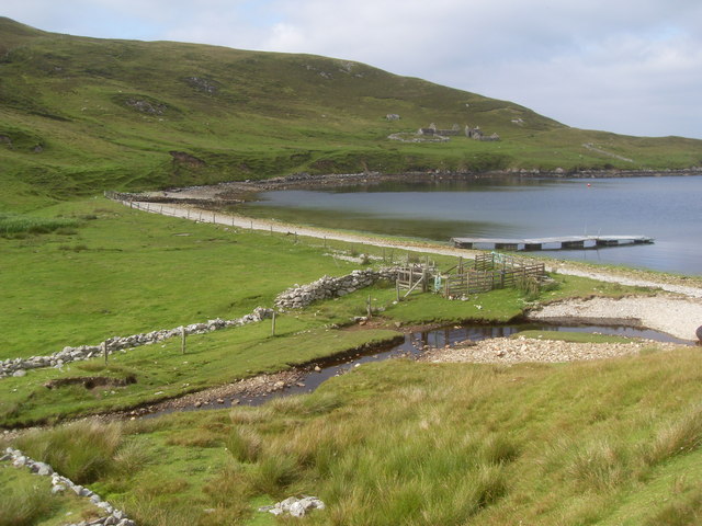
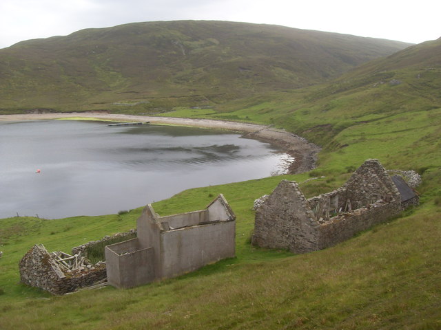
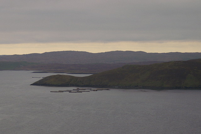
The Scult is a small island located in Shetland, an archipelago in Scotland. It is situated in the North Atlantic Ocean, about 170 miles north of mainland Scotland. The island has a total area of around 1 square mile and is known for its rugged and picturesque landscapes.

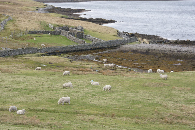
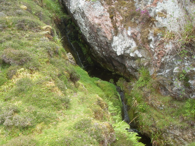
The Scult is characterized by its rocky coastline, towering cliffs, and pebble beaches. The island boasts a diverse range of wildlife, including various bird species such as puffins, razorbills, and guillemots. Seals can often be spotted basking on the shores, while otters roam the surrounding waters.

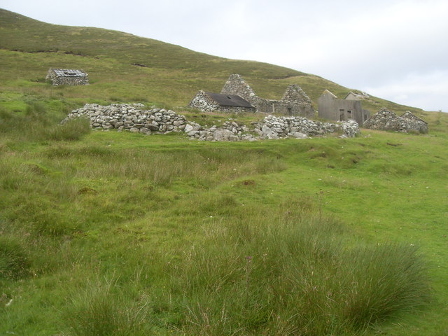
The island has a rich history, with evidence of human habitation dating back thousands of years. Archaeological sites, such as ancient burial mounds and stone circles, provide glimpses into the island's past. The Scult also played a role in the Viking Age, and remnants of their presence can still be found.

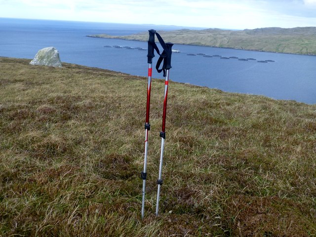
Visitors to The Scult can enjoy outdoor activities such as hiking, birdwatching, and fishing. The island offers stunning views of the surrounding sea and neighboring islands. It is a haven for nature enthusiasts and those seeking solitude and tranquility.

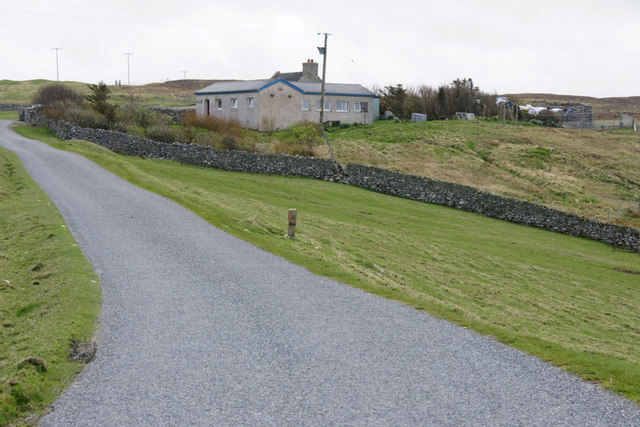
Access to The Scult is primarily by boat, as there are no permanent residents or infrastructure on the island. There are occasional boat tours that allow visitors to explore the island's natural beauty and learn about its history.

If you have any feedback on the listing, please let us know in the comments section below.
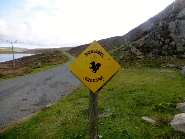
The Scult Images

Images are sourced within 2km of 60.398791/-1.1668796 or Grid Reference HU4668. Thanks to Geograph Open Source API. All images are credited.

The road to Lunna
The road to Lunna
Road to Luna View across moorland on the road to Luna.
Road to Luna
View across moorland on the road to Luna.
 Moorland between Vidlin and Lunna Looking towards Cut Ness.
Moorland between Vidlin and Lunna
Looking towards Cut Ness.
Moorland between Vidlin and Lunna Looking towards Skeo Ness at Lunna.
Moorland between Vidlin and Lunna
Looking towards Skeo Ness at Lunna.
Sheep above the shoreline near West Lunna Voe
House above West Lunna Voe
Richard Speirs On Boulder Richard Speirs on an erratic boulder with a view near the moorland summit of South Hill of Lunna.
Richard Speirs On Boulder
Richard Speirs on an erratic boulder with a view near the moorland summit of South Hill of Lunna.
South Hill of Lunna Bagged with Tricky Speirs after parking near the quarry with the "Beware Squirrel Crossing".
Name: South Hill of Lunna
Hill number: 103956
Height: 86m / 282ft
Area: 22: Shetland Islands
Class: 0
Grid ref: HU472673 (est)
Drop: 35m
Col: 51m
South Hill of Lunna
Bagged with Tricky Speirs after parking near the quarry with the "Beware Squirrel Crossing". Name: South Hill of Lunna Hill number: 103956 Height: 86m / 282ft Area: 22: Shetland Islands Class: 0 Grid ref: HU472673 (est) Drop: 35m Col: 51m
Squirrel Crossing There are a few trees on Shetland but not any squirrels.  In some location you can see otters.  I parked my car near this sign to climb South Hill Of Lunna.  It was a steep climb up the moorland next to the edge of a small quarry.
Squirrel Crossing
There are a few trees on Shetland but not any squirrels. In some location you can see otters. I parked my car near this sign to climb South Hill Of Lunna. It was a steep climb up the moorland next to the edge of a small quarry.
Shore track at Swining The first part of the walk to Sandwick.
Shore track at Swining
The first part of the walk to Sandwick.
Head of Swining Voe from south
Swining Voe Looking north east to Cul Houb.
Swining Voe
Looking north east to Cul Houb.
Half way burn This burn half way to Sandwick is an unexpected difficulty to pass. You can try a risky leap across, or a difficult scramble down to the shore, or climb at least 100' up the hill.
Half way burn
This burn half way to Sandwick is an unexpected difficulty to pass. You can try a risky leap across, or a difficult scramble down to the shore, or climb at least 100' up the hill.
Sand Wick The bay of Sand Wick comes in full view.
Sand Wick
The bay of Sand Wick comes in full view.
Sand Wick The main burn.
Sand Wick
The main burn.
Sandwick from the back
Sandwick frontal view The old roof is lying on the ground behind the ruin.
Sandwick frontal view
The old roof is lying on the ground behind the ruin.
Noness Head, Collafirth Ness From Dales Voe.
Noness Head, Collafirth Ness
From Dales Voe.
Show me another place!

The Scult is located at Grid Ref: HU4668 (Lat: 60.398791, Lng: -1.1668796)

Unitary Authority: Shetland Islands

Police Authority: Highlands and Islands

What 3 Words

///uses.fortified.gift. Near Vidlin, Shetland Islands

Related Wikis

Lunna House

Lunna House is a 17th-century laird's house on Lunna Ness in the Shetland Islands. Lunna House is noted for having "the best historic designed landscape...

Vidlin

Vidlin (from Old Norse: Vaðill meaning a ford) is a small village located on Mainland, Shetland, Scotland. The settlement is within the parish of Nesting...

Linga, Yell Sound

Linga is one of the Shetland Islands, in Yell Sound. == Geography and geology == Linga is an extremely common name in Shetland, meaning heather island...

North Mainland

The North Mainland of the Shetland Islands, Scotland is the part of the Mainland lying north of Voe (60° 21′N). == Geography == Notable places in North...

Nearby Amenities

Located within 500m of 60.398791,-1.1668796
Sandwick
Place: locality
Lat/Long: 60.4008847/-1.1705524
The data included in this document is from www.openstreetmap.org. The data is made available under ODbL.

Have you been to The Scult?

Leave your review of The Scult below (or comments, questions and feedback).