Little Henham

Settlement in Essex Uttlesford

England

Little Henham

Electricity Pylon by the M11
Electricity Pylon by the M11 Credit: Anthony Parkes

Little Henham is a small village located in the Uttlesford District of Essex, England. Situated approximately 4 miles southeast of Saffron Walden, it is surrounded by picturesque countryside and offers a tranquil and idyllic setting. The village is home to a population of around 300 residents.

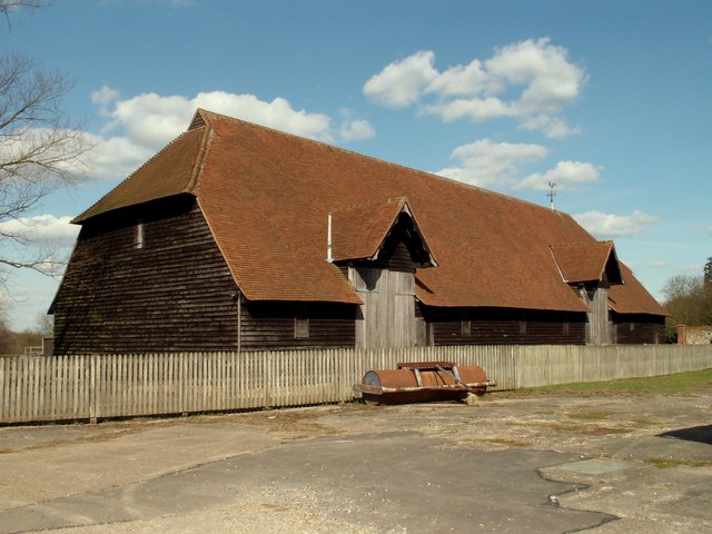
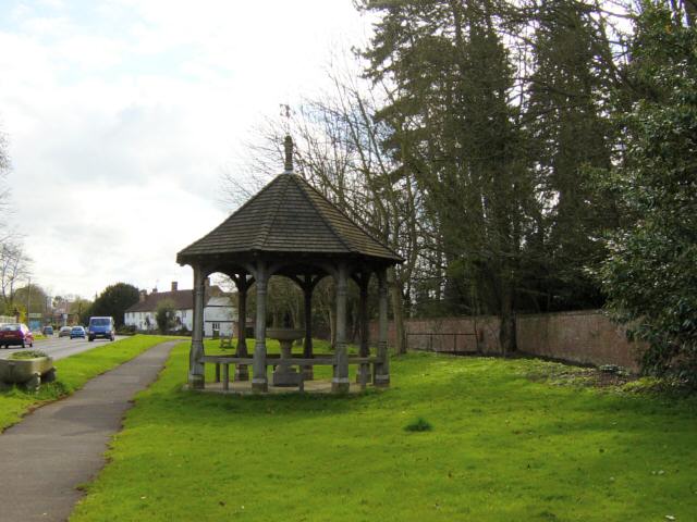
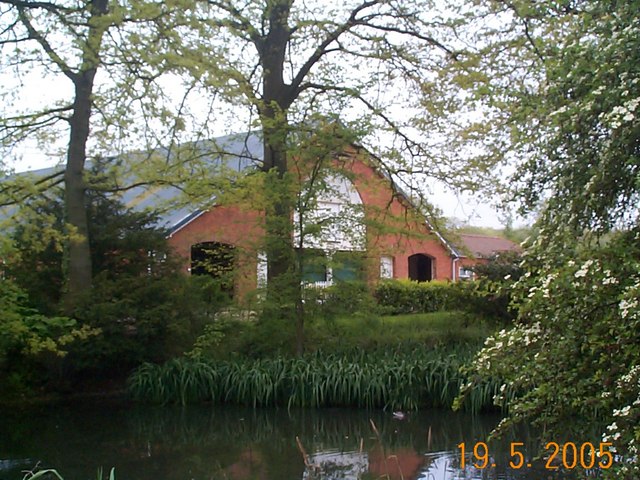
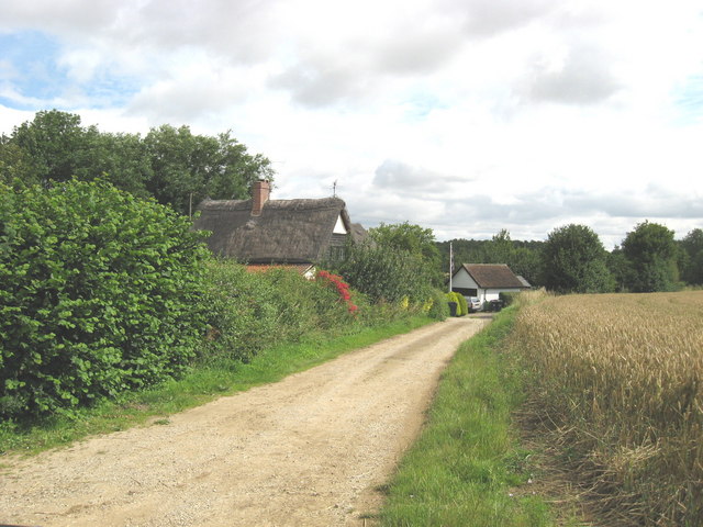
Little Henham is known for its historic charm and rich heritage. The village features a number of traditional thatched cottages, some dating back to the 16th century, which add to its quaint and timeless atmosphere. St. Mary's Church, a Grade I listed building, stands proudly in the heart of the village and is a significant architectural landmark.

Despite its small size, Little Henham offers a range of amenities to its residents. These include a local pub, The Three Horseshoes, which serves as a popular meeting place for both locals and visitors alike. Additionally, the village is home to a primary school, providing education for the younger members of the community.

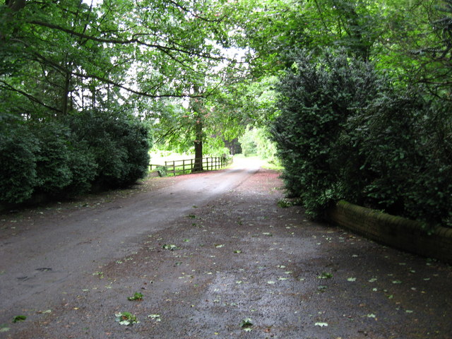
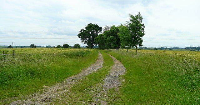
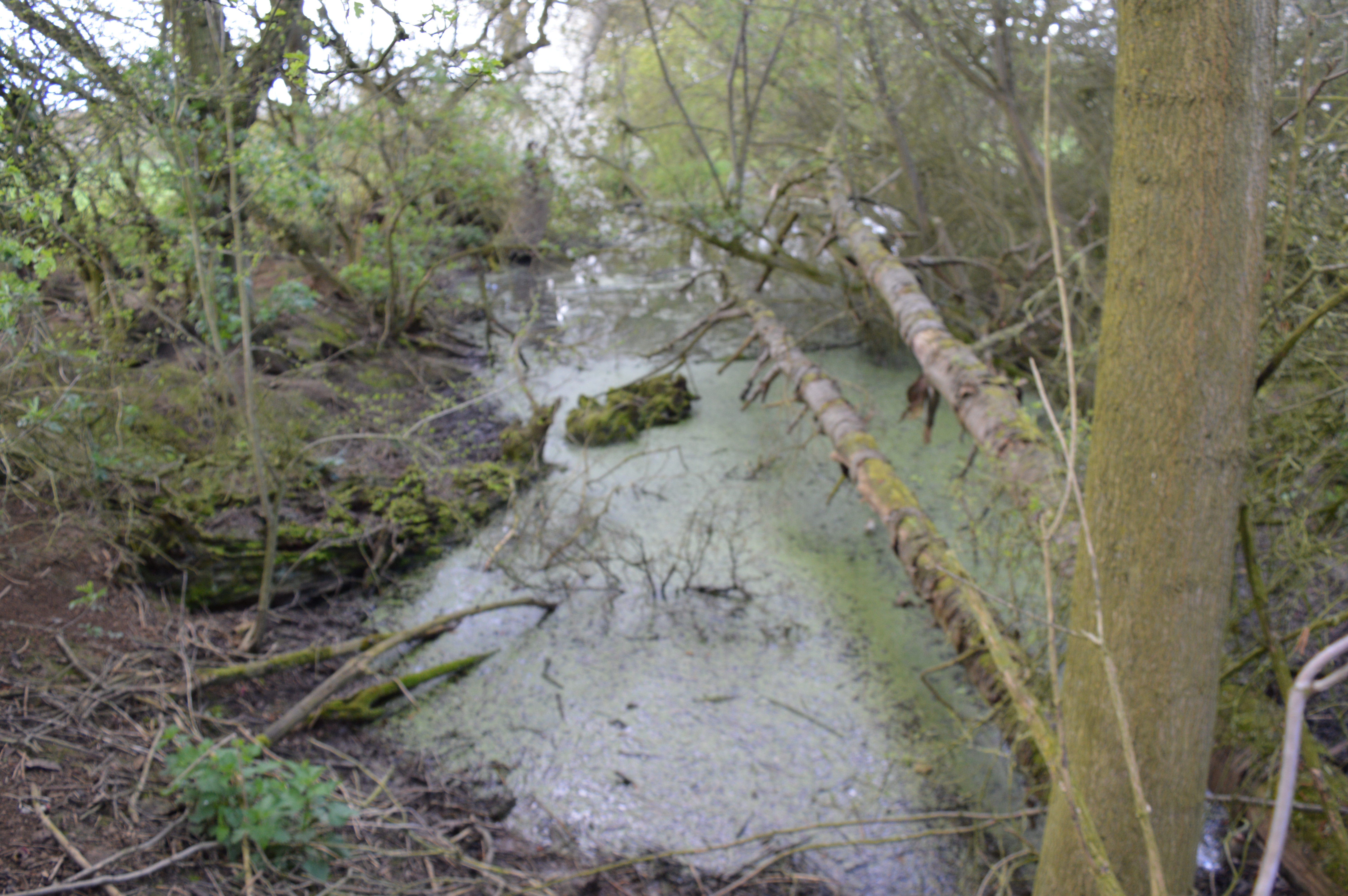
Surrounded by beautiful countryside, Little Henham offers plenty of opportunities for outdoor recreation. The village is nestled within the Henham Park Estate, which spans over 800 acres and features rolling fields, woodlands, and a beautiful lake. This provides residents with ample space for walks, picnics, and other outdoor activities.

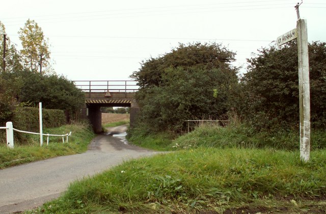
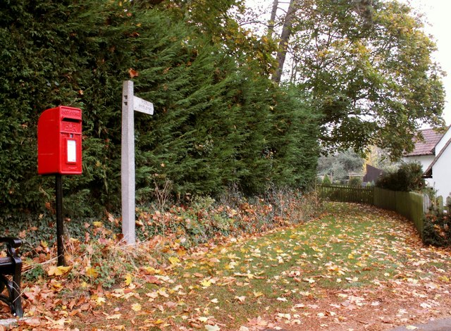
Little Henham is well-connected to nearby towns and cities, with easy access to major road networks. The village's peaceful and rural setting, combined with its charming architecture and sense of community, make it a desirable place to live for those seeking a quieter way of life in the Essex countryside.

If you have any feedback on the listing, please let us know in the comments section below.

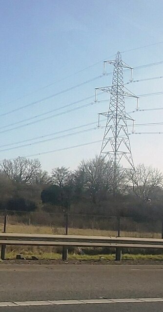
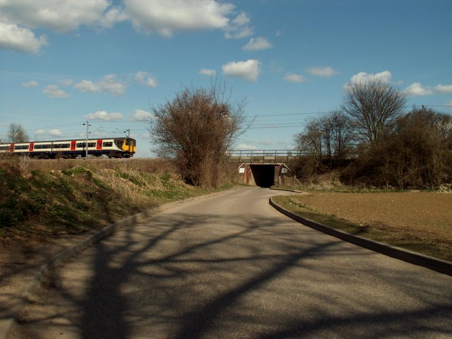
Little Henham Images

Images are sourced within 2km of 51.950167/0.227024 or Grid Reference TL5330. Thanks to Geograph Open Source API. All images are credited.

Electricity Pylon by the M11
Quendon parish church, Essex This church dates back to the 13th century but this view from the south, shows much of the restoration of 1881.
Quendon parish church, Essex
This church dates back to the 13th century but this view from the south, shows much of the restoration of 1881.
Railway bridge near Widdington, Essex View looking East on a small country lane, which leads into the village of Widdington.
Railway bridge near Widdington, Essex
View looking East on a small country lane, which leads into the village of Widdington.
Prior's Hall Barn, Widdington, Essex One of the finest surviving medieval barns in eastern England, tree-ring dated to the mid-15th century, with a breathtaking aisled interior and crown post roof, the product of some 400 oaks. The property is in the care of English Heritage.
Prior's Hall Barn, Widdington, Essex
One of the finest surviving medieval barns in eastern England, tree-ring dated to the mid-15th century, with a breathtaking aisled interior and crown post roof, the product of some 400 oaks. The property is in the care of English Heritage.
St. Mary's church, Widdington, Essex There is slight evidence of the original Norman church inside, however, what we see from the outside is a church built in 1771 and then rebuilt in 1872. It has a well kept churchyard.
St. Mary's church, Widdington, Essex
There is slight evidence of the original Norman church inside, however, what we see from the outside is a church built in 1771 and then rebuilt in 1872. It has a well kept churchyard.
Fountain and Drinking Trough, Quendon The inscription on the inside of the roof reads: This fountain and drinking trough were donated to the people of Quendon in 1887 by Henry Tufnell Esq. in memory of Col. Cranmer-Byng of Quendon Hall. They were later restored in memory of G.B. Beeman who lived at Manor Farm 1922-54.
Fountain and Drinking Trough, Quendon
The inscription on the inside of the roof reads: This fountain and drinking trough were donated to the people of Quendon in 1887 by Henry Tufnell Esq. in memory of Col. Cranmer-Byng of Quendon Hall. They were later restored in memory of G.B. Beeman who lived at Manor Farm 1922-54.
Little Henham Hall farm The old cattle barn seen from across the duck pond.
Little Henham Hall farm
The old cattle barn seen from across the duck pond.
Railway Bridge over the road to Little Henham, Essex This is the view from North Hall Road.
Railway Bridge over the road to Little Henham, Essex
This is the view from North Hall Road.
Sun setting over Prior's Wood - Little Henham Standing on the byway from Little Henham Lodge to Widdington
Sun setting over Prior's Wood - Little Henham
Standing on the byway from Little Henham Lodge to Widdington
Water Tower, viewed from Cornells Lane
Driveway to Quendon Hall Driveway leading through the woods to Quendon Hall
Driveway to Quendon Hall
Driveway leading through the woods to Quendon Hall
Public Bridleway at Quendon This is a view from the B.1383 road, which was once the busy A.11
Public Bridleway at Quendon
This is a view from the B.1383 road, which was once the busy A.11
Track and public footpath south from Little Henham The footpath comes out at <a href="https://www.geograph.org.uk/photo/857428">TL5329 : Rise of land near Little Henham</a>.
Track and public footpath south from Little Henham
The footpath comes out at TL5329 : Rise of land near Little Henham.
B1383 bridge over the M11
M11 heading south
M11 heading south
St Simon and St Jude Parish Church, Quendon, Essex
Liverpool Street express The rural nature of the Cambridge to London Liverpool Street line as seen 30 years ago between Newport station and Elsenham. This was the days before electrification of the line from Bishop's Stortford to Kings Lynn and before Stansted airport was expanded. The trains were older but more comfortable to ride in back in those days.
Liverpool Street express
The rural nature of the Cambridge to London Liverpool Street line as seen 30 years ago between Newport station and Elsenham. This was the days before electrification of the line from Bishop's Stortford to Kings Lynn and before Stansted airport was expanded. The trains were older but more comfortable to ride in back in those days.
Pylon in the landscape The route to the left leads to the National Grid Pelham substation.
Pylon in the landscape
The route to the left leads to the National Grid Pelham substation.
Show me another place!

Little Henham is located at Grid Ref: TL5330 (Lat: 51.950167, Lng: 0.227024)

Administrative County: Essex

District: Uttlesford

Police Authority: Essex

What 3 Words

///evolution.argue.recently. Near Elsenham, Essex

Related Wikis

Widdington

Widdington is a village and civil parish near Saffron Walden, in the Uttlesford district, in the county of Essex, England. The population of the parish...

Quendon Wood

Quendon Wood is a 32.1-hectare (79-acre) biological Site of Special Scientific Interest in Quendon in Essex.The site is ancient coppiced woodland with...

Quendon

Quendon is a linear village and former civil parish, now in the parish of Quendon and Rickling, in the Uttlesford district, in the county of Essex, England...

Quendon and Rickling

Quendon and Rickling is a civil parish in the Uttlesford district of Essex, England with an area of 2,048 acres. The population of the civil parish at...

Ugley

Ugley is a small village and civil parish in the non-metropolitan district of Uttlesford in Essex, England. It is about 2 miles (3 km) north from Stansted...

Henham

Henham, or Henham-on-the-Hill is a village and civil parish in the Uttlesford district of Essex, England. The village is situated 2.5 miles (4 km) north...

Hall's Quarry

Hall's Quarry is a 0.8-hectare (2.0-acre) geological Site of Special Scientific Interest north-west of Ugley Green in Essex. It is a Geological Conservation...

Rook End

Rook End is a hamlet near the village of Widdington, in the Uttlesford district, in the county of Essex, England. Rook End contains three listed buildings...

Nearby Amenities

Located within 500m of 51.950167,0.227024
Little Henham
Place: hamlet
Wikidata: Q2575810
Lat/Long: 51.9492559/0.2310148
Noexit: yes
Lat/Long: 51.9532448/0.2256542
Designation: public_footpath
Foot: designated
Prow Ref: Henham FP 10
Lat/Long: 51.9506849/0.233716
Barrier: sliding_gate
Lat/Long: 51.9503155/0.2307356
The data included in this document is from www.openstreetmap.org. The data is made available under ODbL.

Have you been to Little Henham?

Leave your review of Little Henham below (or comments, questions and feedback).