High Wood
Wood, Forest in Essex Uttlesford
England
High Wood
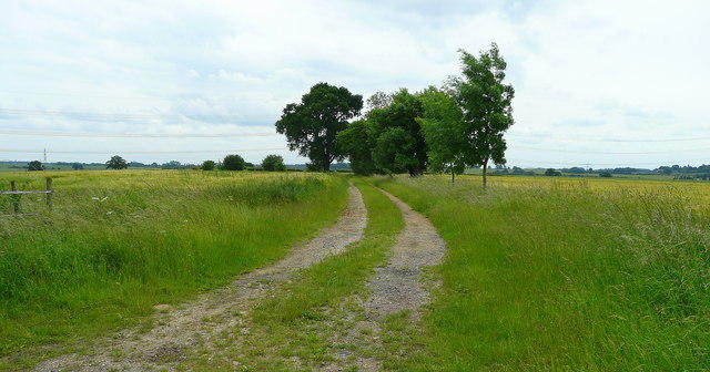
High Wood is a forest located in Essex, England. It covers an area of approximately 300 acres and is part of the larger Epping Forest. The wood is known for its diverse range of flora and fauna, making it a popular destination for nature enthusiasts and wildlife lovers.
The woodland consists primarily of deciduous trees, including oak, beech, and hornbeam, which create a dense canopy providing shade and shelter for a variety of woodland creatures. Bluebells carpet the forest floor in the spring, creating a stunning display of vibrant colors.
High Wood is home to numerous species of birds, including woodpeckers, owls, and various songbirds. Mammals such as foxes, badgers, and deer can also be found here, along with smaller creatures like squirrels, rabbits, and hedgehogs.
The wood is crisscrossed with a network of footpaths and trails, allowing visitors to explore its beauty and enjoy the tranquility of nature. It is a popular spot for hiking, cycling, and picnicking, offering a peaceful escape from the hustle and bustle of city life.
High Wood is managed and protected by the City of London Corporation, which ensures the preservation of its natural beauty and the conservation of its wildlife. Regular maintenance and conservation efforts are undertaken to maintain the health and vitality of the woodland, ensuring its continued existence for generations to come.
Overall, High Wood is a cherished natural gem in Essex, providing a serene and picturesque environment for people to connect with nature and enjoy the wonders of the English countryside.
If you have any feedback on the listing, please let us know in the comments section below.
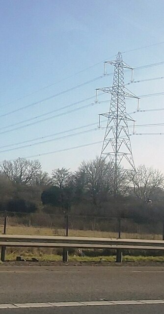
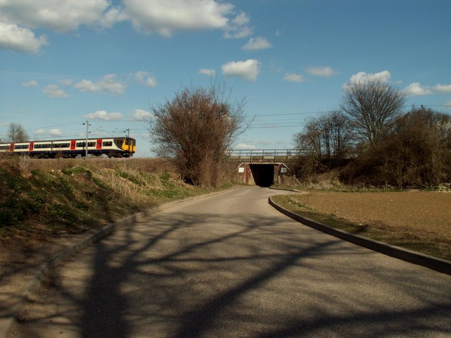
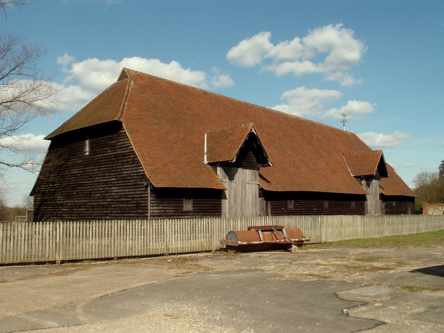
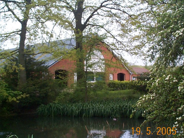
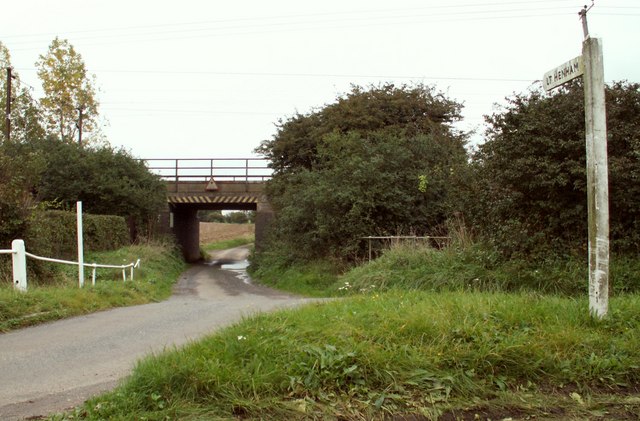
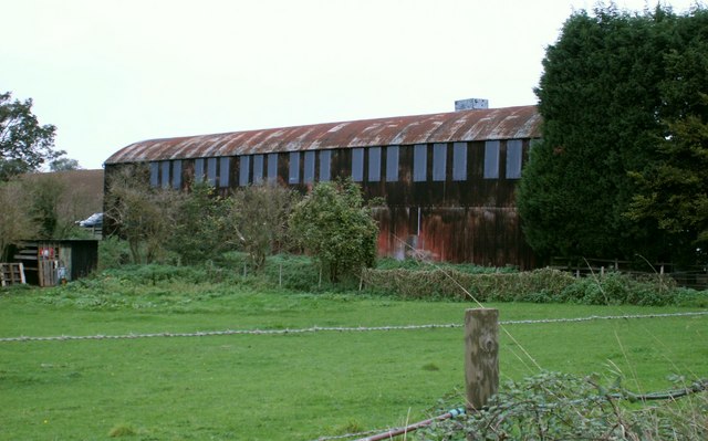
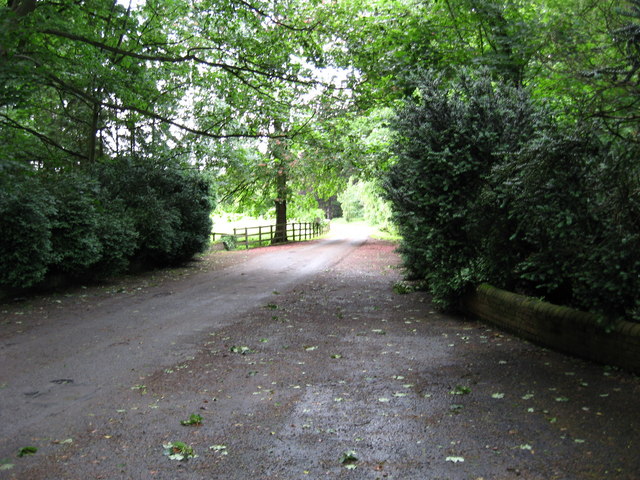
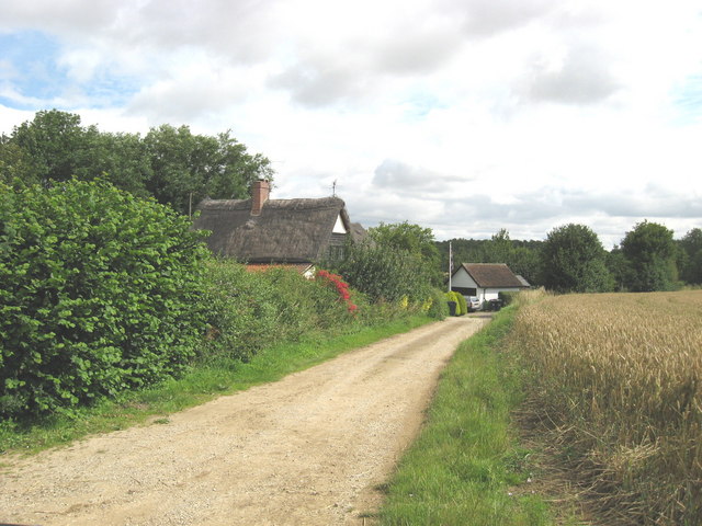
High Wood Images
Images are sourced within 2km of 51.95313/0.23294557 or Grid Reference TL5330. Thanks to Geograph Open Source API. All images are credited.


High Wood is located at Grid Ref: TL5330 (Lat: 51.95313, Lng: 0.23294557)
Administrative County: Essex
District: Uttlesford
Police Authority: Essex
What 3 Words
///fidgeted.inversely.steered. Near Elsenham, Essex
Nearby Locations
Related Wikis

Widdington
Widdington is a village and civil parish near Saffron Walden, in the Uttlesford district, in the county of Essex, England. The population of the parish...

Quendon
Quendon is a linear village and former civil parish, now in the parish of Quendon and Rickling, in the Uttlesford district, in the county of Essex, England...

Quendon Wood
Quendon Wood is a 32.1-hectare (79-acre) biological Site of Special Scientific Interest in Quendon in Essex.The site is ancient coppiced woodland with...
Rook End
Rook End is a hamlet near the village of Widdington, in the Uttlesford district, in the county of Essex, England. Rook End contains three listed buildings...

Quendon and Rickling
Quendon and Rickling is a civil parish in the Uttlesford district of Essex, England with an area of 2,048 acres. The population of the civil parish at...

Henham
Henham, or Henham-on-the-Hill is a village and civil parish in the Uttlesford district of Essex, England. The village is situated 2.5 miles (4 km) north...

Ugley
Ugley is a small village and civil parish in the non-metropolitan district of Uttlesford in Essex, England. It is about 2 miles (3 km) north from Stansted...
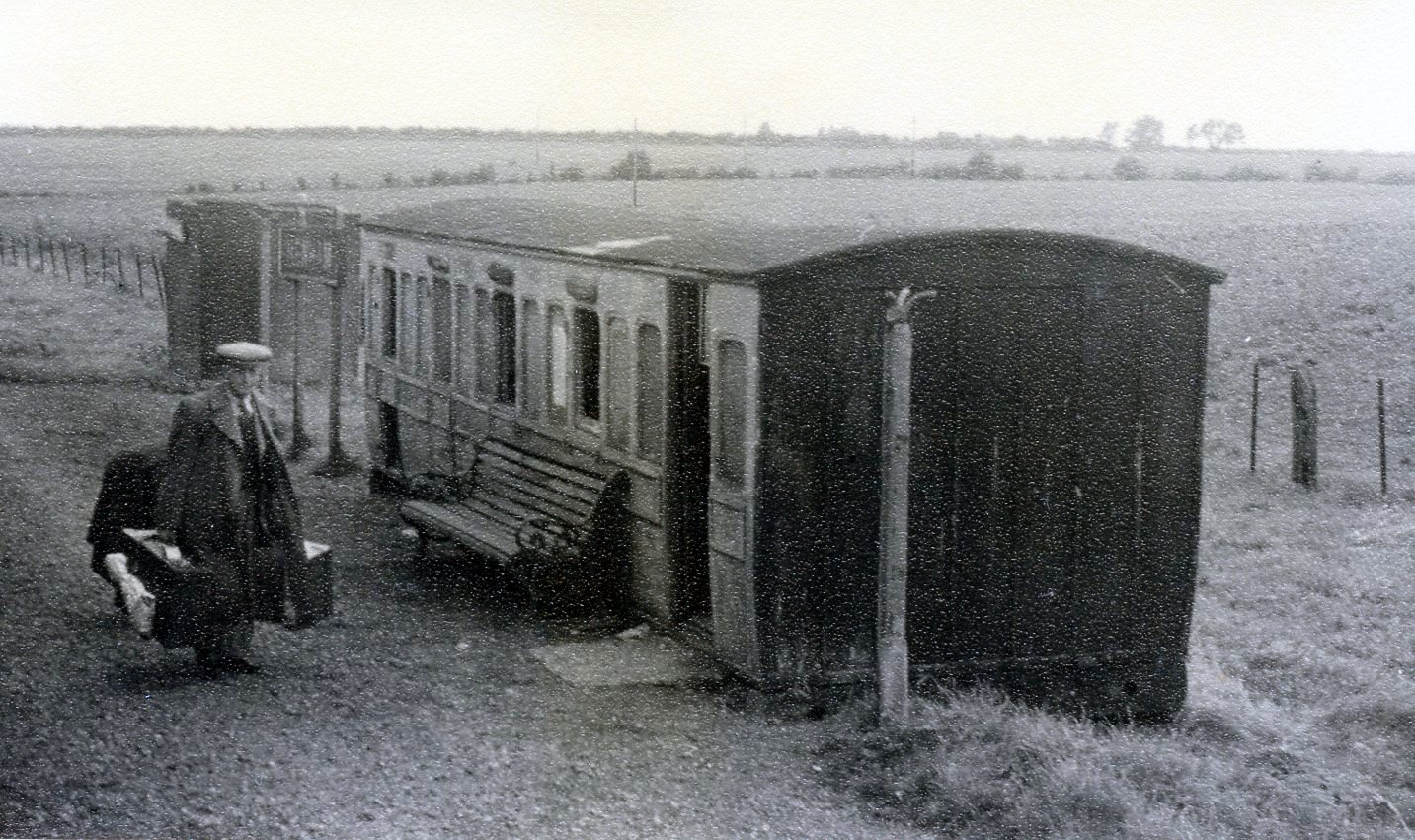
Henham Halt railway station
Henham Halt railway station was a station serving the village of Henham, Essex, England. It was located 1 mile 57 chains (2.76 km) from Elsenham station...
Nearby Amenities
Located within 500m of 51.95313,0.23294557Have you been to High Wood?
Leave your review of High Wood below (or comments, questions and feedback).