Little Heath
Settlement in Berkshire
England
Little Heath
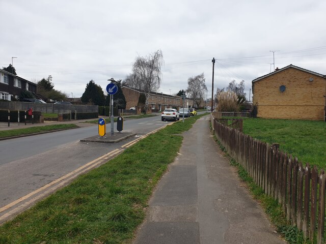
Little Heath is a small village located in the county of Berkshire, England. Situated approximately 3 miles south of Reading, it falls within the civil parish of Shinfield. The village is nestled in a rural setting, surrounded by open fields and farmland, offering a peaceful and idyllic atmosphere.
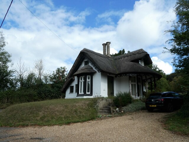
Little Heath is primarily a residential area, with a mix of housing options including detached houses, semi-detached houses, and cottages. The village retains its traditional charm, with many of the properties boasting period features. The community is relatively small, fostering a close-knit and friendly environment.
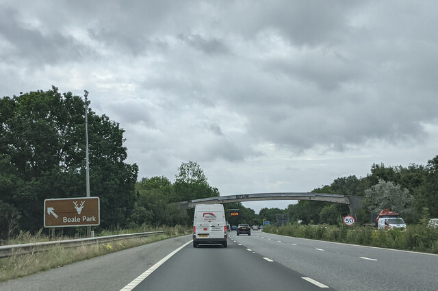
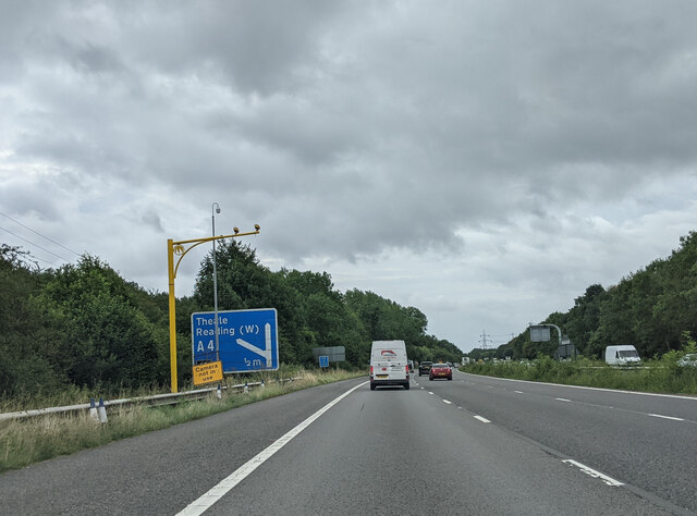
The village benefits from its proximity to Reading, providing easy access to the amenities and services available in the larger town. In addition, Little Heath is well-connected to other major towns and cities via the M4 motorway, which is just a short drive away. This makes it an attractive location for commuters seeking a quieter lifestyle outside of the bustling city.
There are a few local amenities within the village, including a post office, a convenience store, and a primary school, catering to the needs of the residents. For recreational activities, the nearby countryside offers ample opportunities for countryside walks, cycling, and outdoor pursuits.
Overall, Little Heath offers a tranquil and picturesque setting for those seeking a peaceful village lifestyle, while still benefiting from the convenience of nearby towns and excellent transport links.
If you have any feedback on the listing, please let us know in the comments section below.
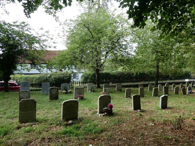
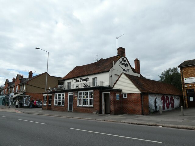
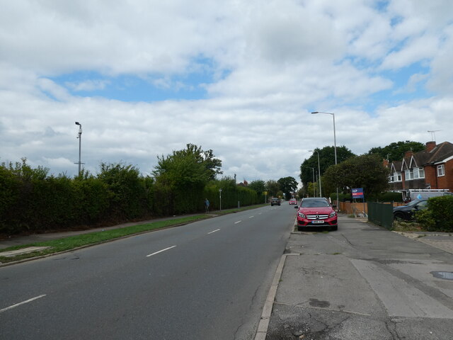
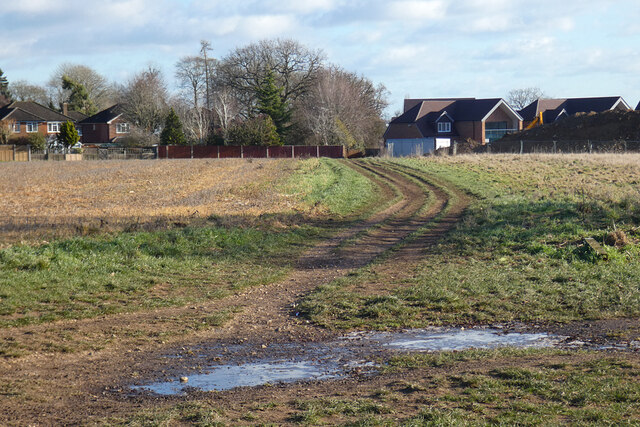
Little Heath Images
Images are sourced within 2km of 51.458433/-1.057194 or Grid Reference SU6573. Thanks to Geograph Open Source API. All images are credited.


Little Heath is located at Grid Ref: SU6573 (Lat: 51.458433, Lng: -1.057194)
Unitary Authority: West Berkshire
Police Authority: Thames Valley
What 3 Words
///slimy.villa.plots. Near Tilehurst, Berkshire
Nearby Locations
Related Wikis

Little Heath, Berkshire
Little Heath is a suburb of the town of Reading, in the county of Berkshire, England. It is part of the larger suburb of Tilehurst (where according to...
Tilehurst (civil parish)
Tilehurst or Tilehurst Without is a civil parish in the district of West Berkshire, in the county of Berkshire, England. It includes part of the Reading...

Little Heath School
Little Heath School is a voluntary-aided co-educational comprehensive secondary school. The school is located in the Little Heath area of the Reading suburb...
107 Jack FM
107 JACK fm Berkshire was an Independent Local Radio station in the English town of Reading. The station was based at studios in the Madejski Stadium,...
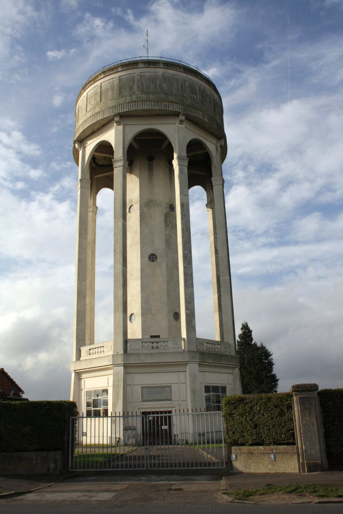
Tilehurst Water Tower
Tilehurst Water Tower, is a distinctive water tower in Tilehurst, a suburb of the English town of Reading. People from Reading know they are near home...

Tilehurst
Tilehurst is a suburb of the town of Reading in the county of Berkshire, England. It lies to the west of the centre of Reading; it extends from the River...
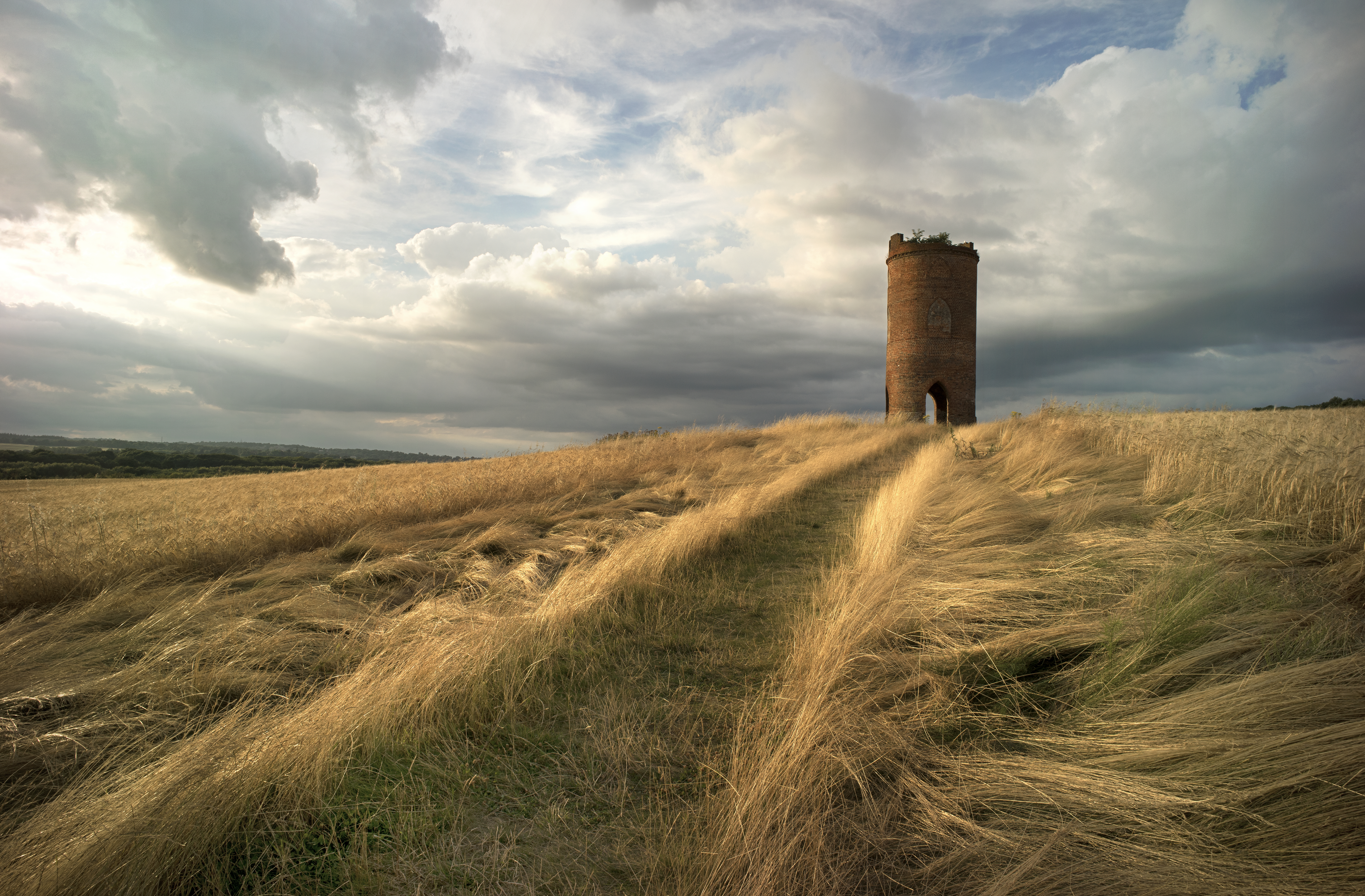
Wilder's Folly
Wilder's Folly (also known as Pincent's Kiln, Nunhide Tower and Flint's Folly) is a folly and dovecote at Nunhide, near the village of Sulham in the English...

Sulham
Sulham is a village in West Berkshire, England. The larger village of Tidmarsh is adjacent to Sulham on the west side, with Tilehurst on the east side...
Nearby Amenities
Located within 500m of 51.458433,-1.057194Have you been to Little Heath?
Leave your review of Little Heath below (or comments, questions and feedback).