Beal's Copse
Wood, Forest in Berkshire
England
Beal's Copse

Beal's Copse is a picturesque woodland located in Berkshire, England. Covering an area of approximately 50 acres, it is a popular destination for nature lovers and outdoor enthusiasts. The copse is situated near the village of Beal, which lends its name to the woodland.
The woodland is primarily composed of broadleaf trees such as oak, beech, and ash, giving it a rich and vibrant appearance throughout the seasons. These trees provide a dense canopy, creating a shaded and peaceful atmosphere within the copse. Underneath the towering trees, a diverse range of flora thrives, including bluebells, wild garlic, and wood anemones, which carpet the forest floor during spring.
Beal's Copse is also home to a variety of wildlife, including deer, foxes, and a myriad of bird species. The tranquil setting and abundance of natural resources make it an ideal habitat for these creatures.
The copse offers several walking trails, allowing visitors to explore its beauty and tranquility. These paths wind through the woodland, offering glimpses of sunlight filtering through the trees and providing opportunities for birdwatching and nature photography.
Beal's Copse is managed by the local authorities, who ensure its preservation and protection. They actively encourage responsible and sustainable use of the woodland, organizing guided walks and educational programs to promote awareness of the local ecosystem.
Overall, Beal's Copse is a precious natural asset in Berkshire, providing a haven for flora and fauna and offering visitors a peaceful retreat to connect with nature.
If you have any feedback on the listing, please let us know in the comments section below.
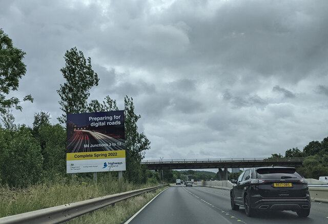
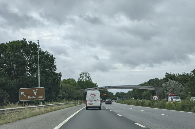
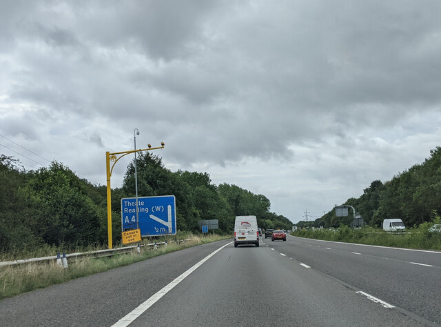
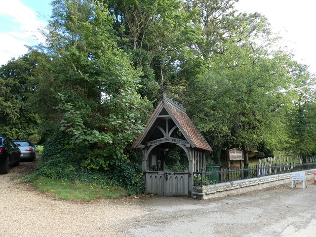
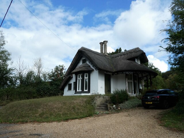
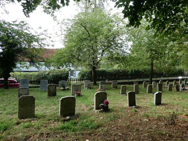
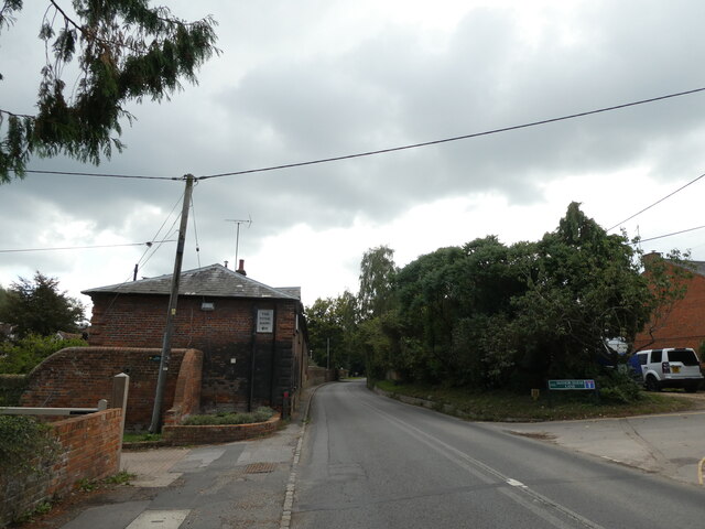
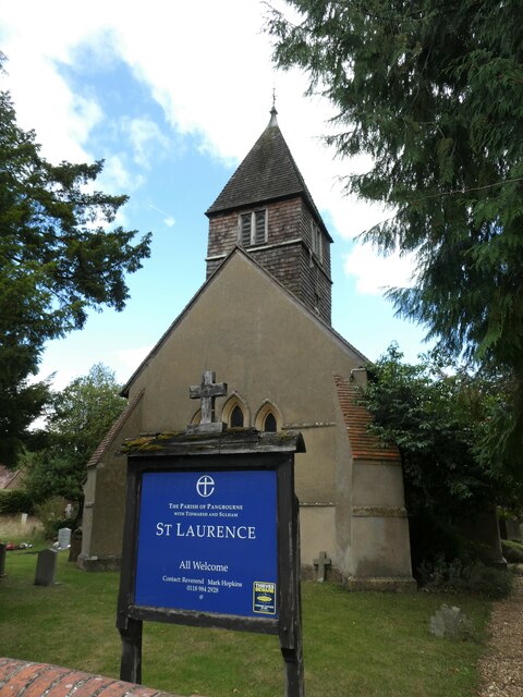
Beal's Copse Images
Images are sourced within 2km of 51.456546/-1.0643018 or Grid Reference SU6573. Thanks to Geograph Open Source API. All images are credited.


Beal's Copse is located at Grid Ref: SU6573 (Lat: 51.456546, Lng: -1.0643018)
Unitary Authority: West Berkshire
Police Authority: Thames Valley
What 3 Words
///rescue.struck.kept. Near Tilehurst, Berkshire
Nearby Locations
Related Wikis

Little Heath School
Little Heath School is a voluntary-aided co-educational comprehensive secondary school. The school is located in the Little Heath area of the Reading suburb...

Little Heath, Berkshire
Little Heath is a suburb of the town of Reading, in the county of Berkshire, England. It is part of the larger suburb of Tilehurst (where according to...
Tilehurst (civil parish)
Tilehurst or Tilehurst Without is a civil parish in the district of West Berkshire, in the county of Berkshire, England. It includes part of the Reading...
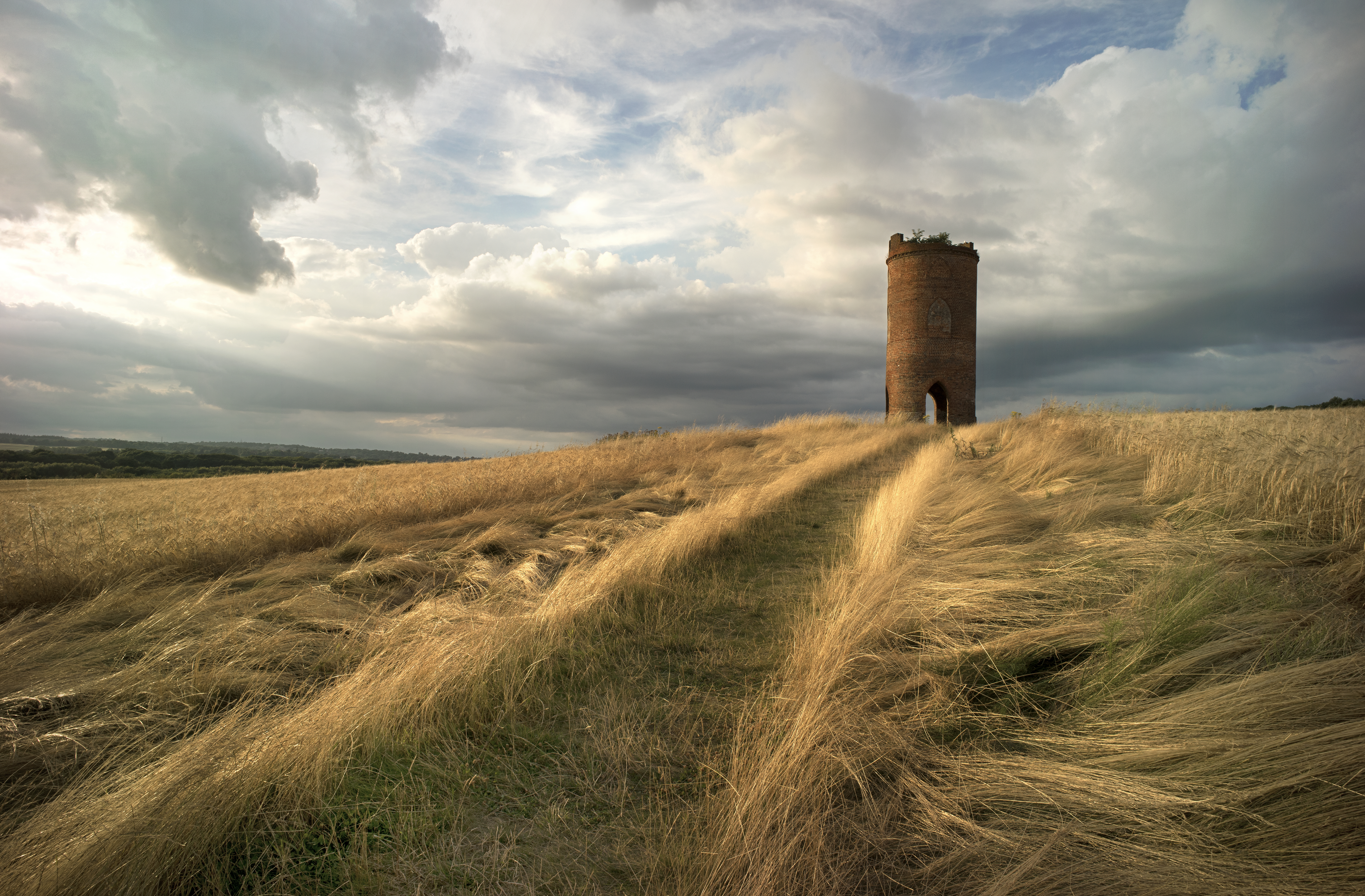
Wilder's Folly
Wilder's Folly (also known as Pincent's Kiln, Nunhide Tower and Flint's Folly) is a folly and dovecote at Nunhide, near the village of Sulham in the English...

Sulham
Sulham is a village in West Berkshire, England. The larger village of Tidmarsh is adjacent to Sulham on the west side, with Tilehurst on the east side...
107 Jack FM
107 JACK fm Berkshire was an Independent Local Radio station in the English town of Reading. The station was based at studios in the Madejski Stadium,...
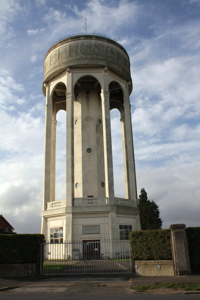
Tilehurst Water Tower
Tilehurst Water Tower, is a distinctive water tower in Tilehurst, a suburb of the English town of Reading. People from Reading know they are near home...

Sulham and Tidmarsh Woods and Meadows
Sulham and Tidmarsh Woods and Meadows is a 75.7-hectare (187-acre) biological Site of Special Scientific Interest west of Reading in Berkshire. Previously...
Nearby Amenities
Located within 500m of 51.456546,-1.0643018Have you been to Beal's Copse?
Leave your review of Beal's Copse below (or comments, questions and feedback).