Bassaleg
Settlement in Monmouthshire
Wales
Bassaleg
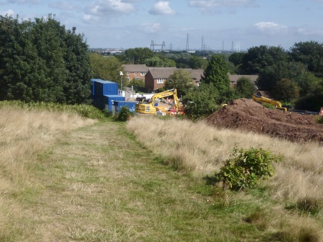
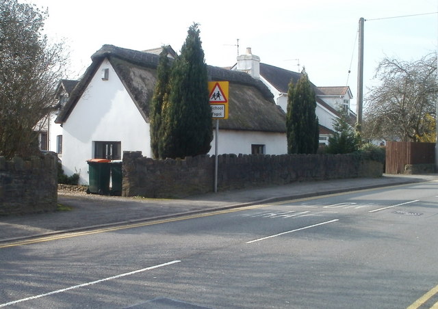
Bassaleg is a small village located in the county of Monmouthshire, Wales. Situated just three miles north of Newport, it is a peaceful and picturesque area surrounded by rolling hills and lush green countryside. The village is nestled in the Usk Valley, with the River Ebbw flowing nearby.
Historically, Bassaleg has strong ties to the coal mining industry, which played a significant role in shaping the village's development. In the early 19th century, Bassaleg Colliery was established, attracting workers and their families to the area. Today, reminders of this industrial past can still be seen in the form of old mine buildings and the Miners' Welfare Hall.
Despite its close proximity to Newport, Bassaleg has managed to retain its rural charm. The village is home to a tight-knit community, with a population of around 5,000 residents. It offers a range of amenities, including a primary school, a village hall, a community center, and a number of local shops and pubs.
Bassaleg is also known for its beautiful natural surroundings, making it popular among outdoor enthusiasts. The nearby Wentwood Forest provides ample opportunities for walking, cycling, and enjoying nature. Additionally, the village benefits from excellent transport links, with easy access to the M4 motorway and regular bus services to Newport and other nearby towns.
Overall, Bassaleg offers a tranquil and close-knit community lifestyle, combined with stunning natural landscapes, making it an attractive place to live or visit for those looking to escape the hustle and bustle of city life.
If you have any feedback on the listing, please let us know in the comments section below.
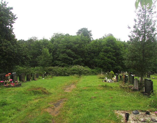
Bassaleg Images
Images are sourced within 2km of 51.576084/-3.044605 or Grid Reference ST2786. Thanks to Geograph Open Source API. All images are credited.


Bassaleg is located at Grid Ref: ST2786 (Lat: 51.576084, Lng: -3.044605)
Unitary Authority: Newport
Police Authority: Gwent
Also known as: Basaleg
What 3 Words
///jacket.pickup.holiday. Near Newport
Nearby Locations
Related Wikis

Bassaleg School
Bassaleg School (Welsh: Ysgol Basaleg) is a comprehensive secondary school for pupils aged 11 to 18 years, situated in the suburb of Bassaleg on the western...
Monmouth Comprehensive School
Monmouth Comprehensive School (Welsh: Ysgol Gyfun Trefynwy) is a comprehensive secondary school for pupils aged 11–18, situated in Monmouth, Monmouthshire...
Bassaleg
Bassaleg (Welsh: Basaleg) is a suburb on the west side of Newport, Wales. It is in the Graig electoral ward and community. Bassaleg is located two miles...

Bassaleg Junction railway station
Bassaleg Junction was a railway station which served the village of Bassaleg, Monmouthshire. == History == The station was opened by the Monmouthshire...
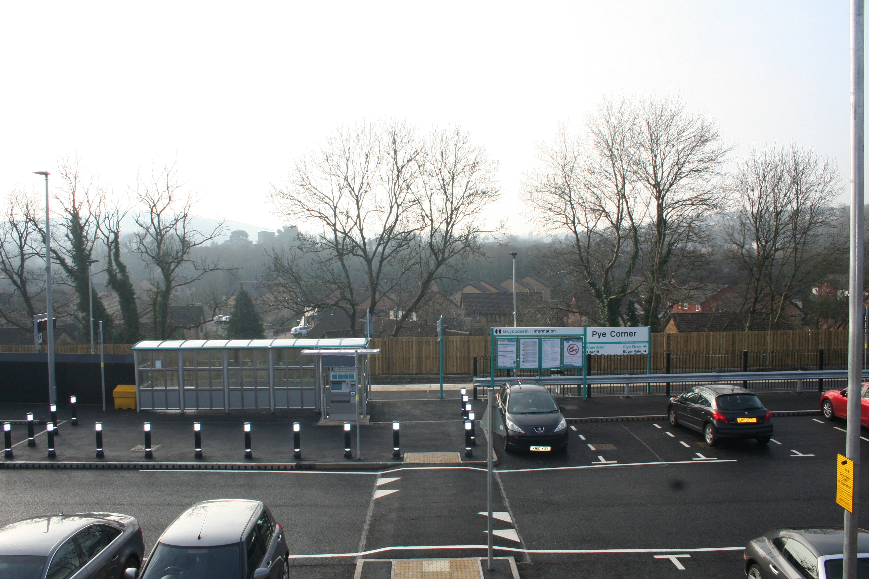
Pye Corner railway station
Pye Corner railway station is a station serving a residential area in the west of Newport, Wales, between the suburbs of Bassaleg and High Cross. It opened...

Newport West (UK Parliament constituency)
Newport West (Welsh: Gorllewin Casnewydd) is one of two parliamentary constituencies for the city of Newport, South Wales, in the House of Commons of the...
Graig, Newport
Graig is an electoral ward and coterminous community (parish) of the city of Newport, South Wales. The ward is bounded by the Ebbw River and M4 motorway...
High Cross, Newport
High Cross is a suburb of the city of Newport, South Wales, and forms part of the community (parish) of Rogerstone. The majority of the housing in the...
Nearby Amenities
Located within 500m of 51.576084,-3.044605Have you been to Bassaleg?
Leave your review of Bassaleg below (or comments, questions and feedback).