Lang Stane

Island in Shetland

Scotland

Lang Stane

Spiggie and Loch of Spiggie
Spiggie and Loch of Spiggie Credit: Mike Pennington

Lang Stane is a striking natural monument located on the Shetland Islands, an archipelago in Scotland. Situated on the mainland, near the village of Tingwall, Lang Stane is a large, upright stone that stands prominently in an open field. The name "Lang Stane" translates to "long stone" in the Shetland dialect, which accurately reflects its appearance.

The stone itself is a single piece of granite, estimated to be around 10 meters in height, making it one of the tallest standing stones in the region. Its shape is somewhat irregular and tapering, with a pointed top. The stone's surface is weathered and shows signs of erosion, indicating its age and long-standing presence in the landscape.

Archaeologists believe that Lang Stane has been standing for thousands of years, predating the arrival of the Vikings in the Shetland Islands. It is thought to have been used by the Neolithic and Bronze Age people for ceremonial or religious purposes, perhaps as a marker or focal point for gatherings.

Today, Lang Stane remains an important cultural and historical site. It attracts visitors who are fascinated by ancient monuments and the mysteries of the past. The stone's prominent location allows for breathtaking views of the surrounding landscape, including rolling hills and the nearby Tingwall Loch.

As an iconic landmark of Shetland, Lang Stane serves as a tangible connection to the island's rich history and provides an opportunity for visitors to appreciate the enduring presence of ancient civilizations in this remote and beautiful part of Scotland.

If you have any feedback on the listing, please let us know in the comments section below.

Lang Stane Images

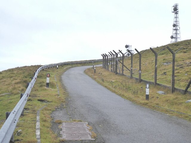
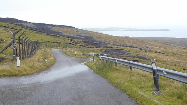
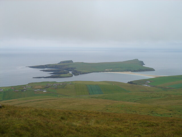
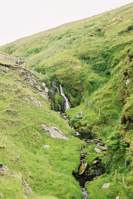
Images are sourced within 2km of 59.950589/-1.3302793 or Grid Reference HU3718. Thanks to Geograph Open Source API. All images are credited.

Spiggie and Loch of Spiggie
Sand dunes at Sands of Scousburgh
Colsay from the air
Colsay from the air
View from the slopes of the Ward of Scousburgh With a good view of St Ninian's Isle and tombolo <a href="https://www.geograph.org.uk/gridref/HU3620">HU3620</a>.
View from the slopes of the Ward of Scousburgh
With a good view of St Ninian's Isle and tombolo HU3620.
View from the slopes of the Ward of Scousburgh A good view of Scousburgh Bay <a href="https://www.geograph.org.uk/gridref/HU3718">HU3718</a>, Northern Ness and Muckle Sound <a href="https://www.geograph.org.uk/gridref/HU3618">HU3618</a>.
View from the slopes of the Ward of Scousburgh
A good view of Scousburgh Bay HU3718, Northern Ness and Muckle Sound HU3618.
Ward of Scousburgh Telecommunications mast on the summit, served by private road in foreground.
Ward of Scousburgh
Telecommunications mast on the summit, served by private road in foreground.
Private road over Ward of Scousburgh The road was built to service the telecommunications installations on the Ward of Scousburgh. To the left is the derelict fencing enclosing the old site. The active masts are on the summit a short way to the south. Looking north-east down to the eastern coast of Mainland.
Private road over Ward of Scousburgh
The road was built to service the telecommunications installations on the Ward of Scousburgh. To the left is the derelict fencing enclosing the old site. The active masts are on the summit a short way to the south. Looking north-east down to the eastern coast of Mainland.
The slopes of Ward of Scousburgh From the minor road which serves various transmission masts and a former NATO station. Below is St Ninian's Isle and the tombolo which connects it to Shetland Mainland.
The slopes of Ward of Scousburgh
From the minor road which serves various transmission masts and a former NATO station. Below is St Ninian's Isle and the tombolo which connects it to Shetland Mainland.
St Ninian's Bay I am standing at the mainland end of the tombolo leading to St Ninian's Isle and looking south down St Ninian's Bay towards Inns Holm with Colsay off to the right. Northern Ness, Fora Ness and Noss Hill can be gilmpsed in the clouded distance.
St Ninian's Bay
I am standing at the mainland end of the tombolo leading to St Ninian's Isle and looking south down St Ninian's Bay towards Inns Holm with Colsay off to the right. Northern Ness, Fora Ness and Noss Hill can be gilmpsed in the clouded distance.
Nesting on a pointy skerry There seem to be Fulmars nesting on almost every cliff or ledge in most parts of Shetland, many in relatively accessible places, but I was rather taken with this one who had chosen to nest right on the top of a distinctly pointy skerry just off the southern tip of St. Ninian's Isle. The metamorphic rock is a micaceous psammite of the Colla Firth Group (Whiteness division 0 correlated with the Dalradian in mainland Scotland) here dipping quite steeply to the southwest. This produces the characteristic steep smooth rock faces on southwest-facing cliffs. The northeast-facing sides are steep, but much more ledgy, which produces many little niches which are the more favoured nesting sites, as you can see on High Herbi Clett on the right of the photo. Further out is Inns Holm, the southern tip of which is catching quite a lot of surf from the westerly swell (which is why we were walking today, and not sea kayaking).
Nesting on a pointy skerry
There seem to be Fulmars nesting on almost every cliff or ledge in most parts of Shetland, many in relatively accessible places, but I was rather taken with this one who had chosen to nest right on the top of a distinctly pointy skerry just off the southern tip of St. Ninian's Isle. The metamorphic rock is a micaceous psammite of the Colla Firth Group (Whiteness division 0 correlated with the Dalradian in mainland Scotland) here dipping quite steeply to the southwest. This produces the characteristic steep smooth rock faces on southwest-facing cliffs. The northeast-facing sides are steep, but much more ledgy, which produces many little niches which are the more favoured nesting sites, as you can see on High Herbi Clett on the right of the photo. Further out is Inns Holm, the southern tip of which is catching quite a lot of surf from the westerly swell (which is why we were walking today, and not sea kayaking).
Promnontory and stacks at St. Ninian's Isle, Shetland Masts on the Ward of Scousburgh can be seen in the background
Promnontory and stacks at St. Ninian's Isle, Shetland
Masts on the Ward of Scousburgh can be seen in the background
High Herbi Clett from St. Ninian's Isle In the distance to the right of the picture you can see the isle of Colsay, and behind it the distinctive Fitful Head.
High Herbi Clett from St. Ninian's Isle
In the distance to the right of the picture you can see the isle of Colsay, and behind it the distinctive Fitful Head.
Sea Stacks south of St Ninian's Isle
Tombolo between Mainland Shetland and St Ninian's Isle This is the permanent sandbar connecting the Isle to the Mainland. It was a wild, windy and dark day - sorry for the resulting dark photo.
Tombolo between Mainland Shetland and St Ninian's Isle
This is the permanent sandbar connecting the Isle to the Mainland. It was a wild, windy and dark day - sorry for the resulting dark photo.
Tombolo linking St Ninian's Isle to the Shetland Mainland. This natural geographical feature is a tombolo. Consisting of a bank of sand, it links St Ninian's Isle with the Shetland Mainland.
Tombolo linking St Ninian's Isle to the Shetland Mainland.
This natural geographical feature is a tombolo. Consisting of a bank of sand, it links St Ninian's Isle with the Shetland Mainland.
Burn of Geosetter, near Bigton, Shetland
St Ninian's Isle The small island on the left is Inns Holm.
St Ninian's Isle
The small island on the left is Inns Holm.
Geosetter, near Bigton The house sits on the hillside beside the small ravine cut by the eponymous burn.
Geosetter, near Bigton
The house sits on the hillside beside the small ravine cut by the eponymous burn.
Show me another place!

Lang Stane is located at Grid Ref: HU3718 (Lat: 59.950589, Lng: -1.3302793)

Unitary Authority: Shetland Islands

Police Authority: Highlands and Islands

What 3 Words

///pushover.resurgent.hunk. Near Sandwick, Shetland Islands

Related Wikis

Scousburgh

Scousburgh is a small community in the parish of Dunrossness, in the South Mainland of Shetland, Scotland, overlooking the picturesque Scousburgh Sand...

Colsay

Colsay is an uninhabited island off the South West coast of Mainland, Shetland. Fora Ness lies to the south, across the Muckle Sound. The highest elevation...

Lochs of Spiggie and Brow

The Lochs of Spiggie and Brow are located west of Boddam in the parish of Dunrossness, in the South Mainland of Shetland, Scotland, about 6 km north of...

Dunrossness

Dunrossness, (Old Norse: Dynrastarnes meaning "headland of the loud tide-race", referring to the noise of Sumburgh Roost) is the southernmost parish of...

St Ninian's Isle

St Ninian's Isle is a small tied island connected by the largest tombolo in the UK to the south-western coast of the Mainland, Shetland, in Scotland. It...

Bigton

Bigton is a small settlement on South Mainland, Shetland, UK. Bigton is within the civil parish of Dunrossness.Bigton lies on the Atlantic coast of the...

Clumlie Broch

Clumlie Broch is an Iron Age broch located on Mainland, Shetland, in Scotland (grid reference HU40451811). == Location == Clumlie Broch is located in Dunrossness...

Boddam, Shetland

Boddam is a village on the island of Mainland, in Shetland, Scotland. Boddam is an area of Dunrossness in the South Mainland of Shetland. Although Boddam...

Nearby Amenities

Located within 500m of 59.950589,-1.3302793
Power: pole
Lat/Long: 59.9543456/-1.3257835
Power: pole
Lat/Long: 59.9536944/-1.3261646
Power: pole
Lat/Long: 59.9530525/-1.3265296
Power: pole
Lat/Long: 59.9524603/-1.3268646
Power: pole
Lat/Long: 59.9518901/-1.3271995
Power: pole
Lat/Long: 59.9513129/-1.3275506
Power: pole
Lat/Long: 59.9505587/-1.3271579
Power: pole
Lat/Long: 59.9498173/-1.3267675
Power: pole
Lat/Long: 59.9493187/-1.3265042
Power: pole
Lat/Long: 59.9487889/-1.3262178
Power: pole
Lat/Long: 59.9481689/-1.3259036
Power: pole
Lat/Long: 59.9475616/-1.3255895
Power: pole
Lat/Long: 59.947115/-1.3253515
Power: pole
Lat/Long: 59.9474424/-1.3261669
Power: pole
Lat/Long: 59.9473371/-1.3266705
Power: pole
Lat/Long: 59.946975/-1.3266613
Power: pole
Lat/Long: 59.9466835/-1.3266474
The data included in this document is from www.openstreetmap.org. The data is made available under ODbL.

Have you been to Lang Stane?

Leave your review of Lang Stane below (or comments, questions and feedback).