Black Skerry of Ramnageo
Island in Shetland
Scotland
Black Skerry of Ramnageo
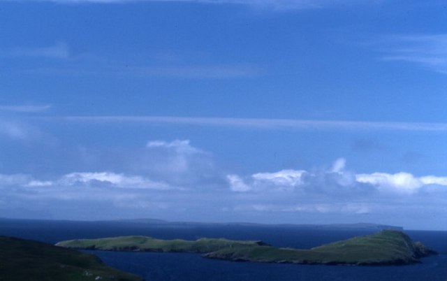
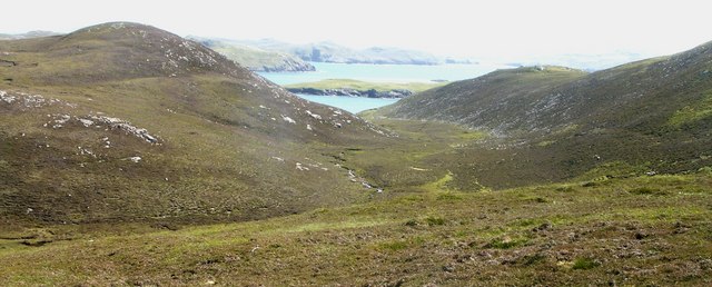
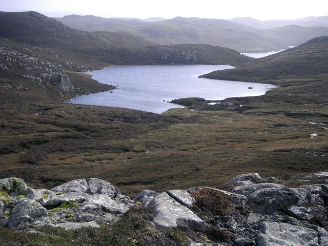
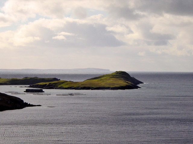
The Black Skerry of Ramnageo is a small uninhabited island located off the coast of Shetland, Scotland. Situated in the North Atlantic Ocean, it lies approximately 3 kilometers south of the mainland. The island is part of a group of islets known as the Ramnageo Skerries, which also includes the North and South Skerries.
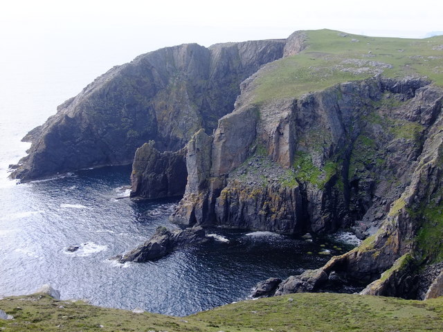
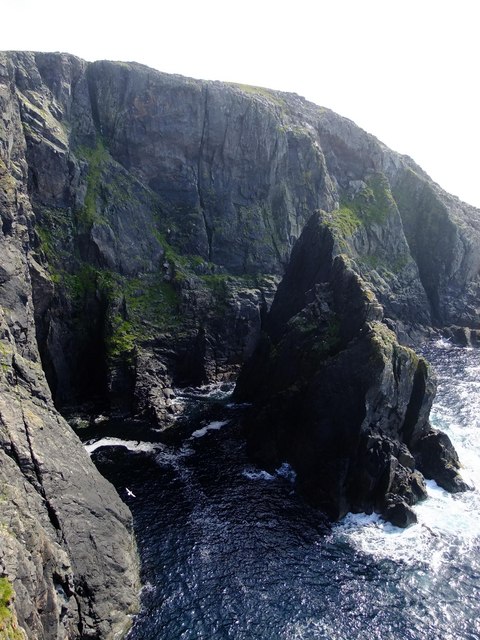
Black Skerry is a rocky and rugged outcrop, measuring around 150 meters in length and 70 meters in width. It is characterized by its steep cliffs, which rise up to 50 meters above sea level. The island gets its name from the dark basalt rocks that form its shoreline, creating a stark contrast against the surrounding blue waters.
Although uninhabited, the Black Skerry of Ramnageo is an important nesting site for a variety of seabirds. Species such as Atlantic puffins, black guillemots, and northern fulmars can be found here during the breeding season, making it a popular spot for birdwatchers and wildlife enthusiasts.
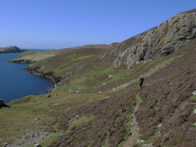
Access to the island is limited due to its remote location and lack of facilities. It is only accessible by boat, and visitors are advised to take caution when navigating the rocky coastline. The surrounding waters are also known for their strong currents, adding to the challenge of reaching the island.
Overall, the Black Skerry of Ramnageo offers a unique and picturesque landscape, providing a home for diverse avian species in the beautiful Shetland Islands.
If you have any feedback on the listing, please let us know in the comments section below.
Black Skerry of Ramnageo Images
Images are sourced within 2km of 60.413745/-1.4409019 or Grid Reference HU3070. Thanks to Geograph Open Source API. All images are credited.


Black Skerry of Ramnageo is located at Grid Ref: HU3070 (Lat: 60.413745, Lng: -1.4409019)
Unitary Authority: Shetland Islands
Police Authority: Highlands and Islands
What 3 Words
///daydream.mildest.adopt. Near Brae, Shetland Islands
Nearby Locations
Related Wikis

Mavis Grind
Mavis Grind (Old Norse: Mæfeiðs grind or Mæveiðs grind, meaning "gate of the narrow isthmus") is a narrow isthmus joining the Northmavine peninsula to...

Gunnister
Gunnister is a small 'abandoned' village at the North-West Mainland in Shetland, Scotland. It is most commonly known for the Gunnister Man - the remains...

Muckle Roe
Muckle Roe is an island in Shetland, Scotland, in St. Magnus Bay, to the west of Mainland. It has a population of around 130 people, who mainly croft and...

Brae
"Brae" is also the Lowland Scots language word for the slope or brow of a hill. Brae (Old Norse: Breiðeið, meaning "the wide isthmus") is a village on...
Have you been to Black Skerry of Ramnageo?
Leave your review of Black Skerry of Ramnageo below (or comments, questions and feedback).