Haseley, Little

Settlement in Oxfordshire South Oxfordshire

England

Haseley, Little

Farmland, Great Haseley A footpath follows the edge of this field to the north of village.
Farmland, Great Haseley Credit: Andrew Smith

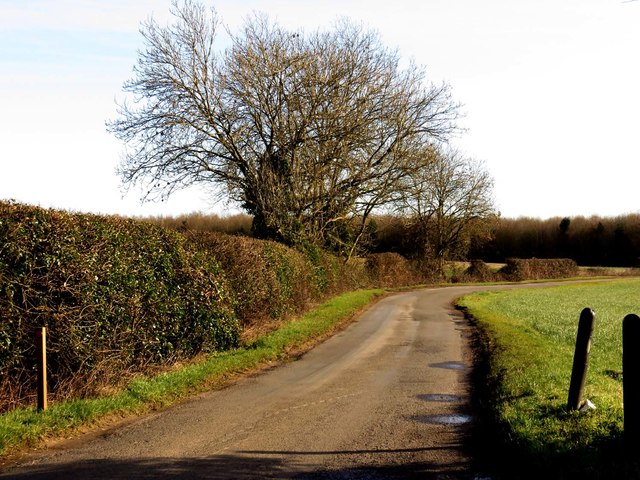
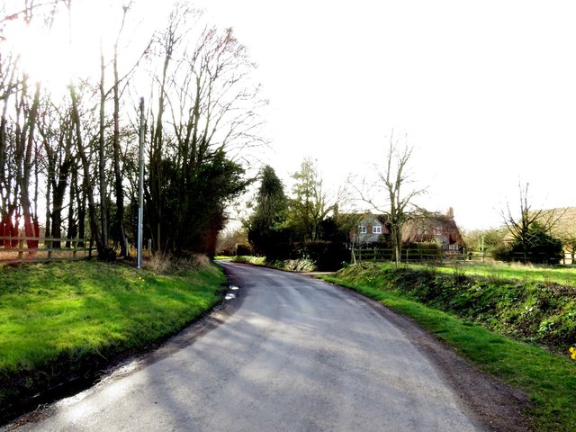
Haseley Little is a charming village located in Oxfordshire, England. Situated just a few miles southwest of the city of Oxford, it is nestled within the picturesque countryside and offers residents and visitors a peaceful and idyllic setting.

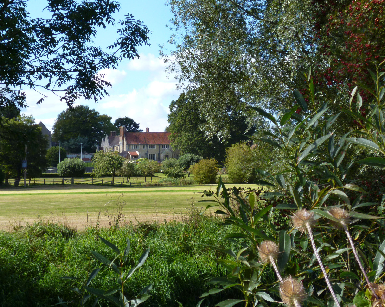
The village is known for its quaint and traditional architecture, with beautiful stone cottages and thatched roofs dotting the landscape. The well-maintained streets are lined with lush greenery and blooming flowers, adding to the village's natural beauty.

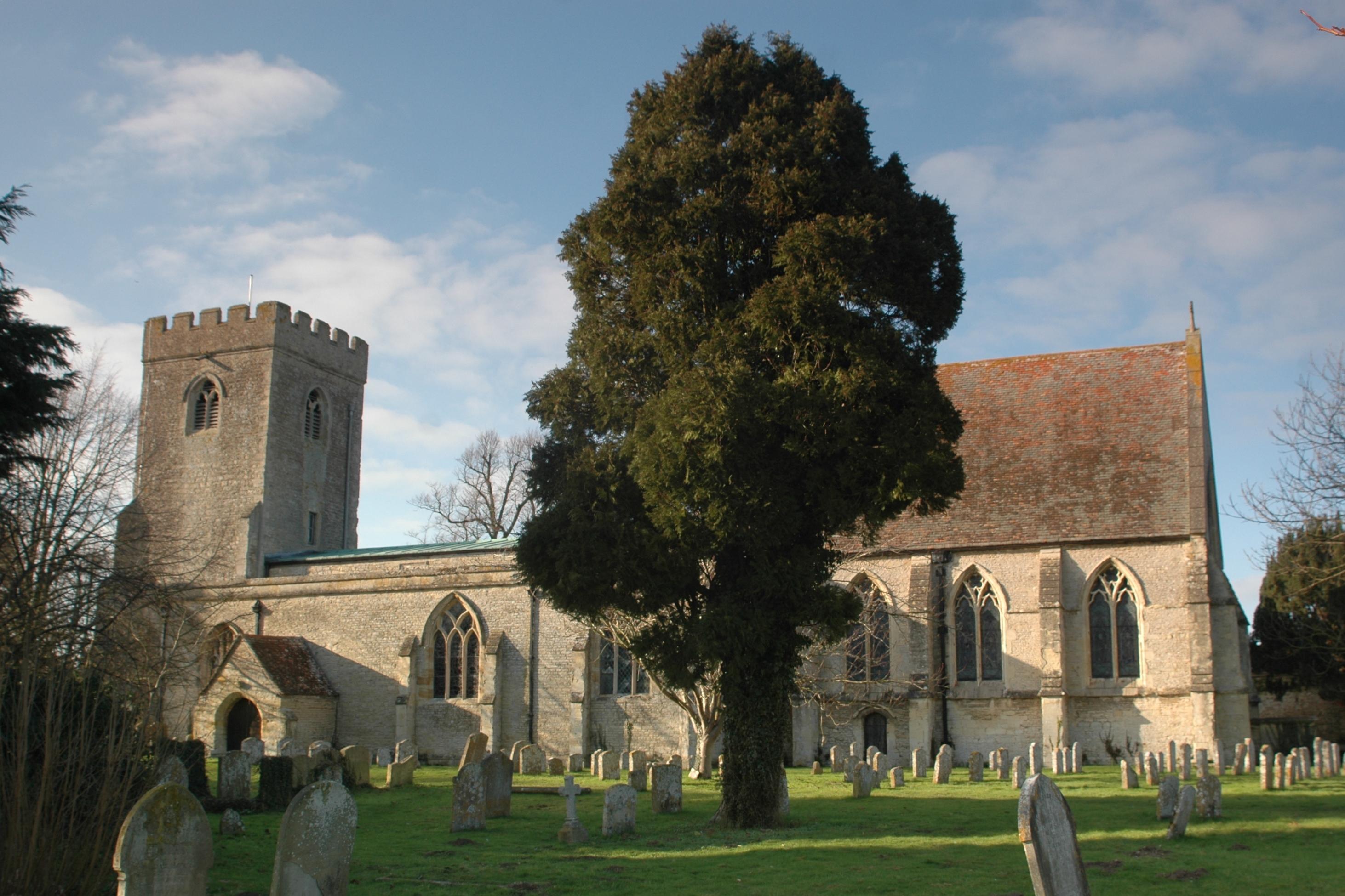
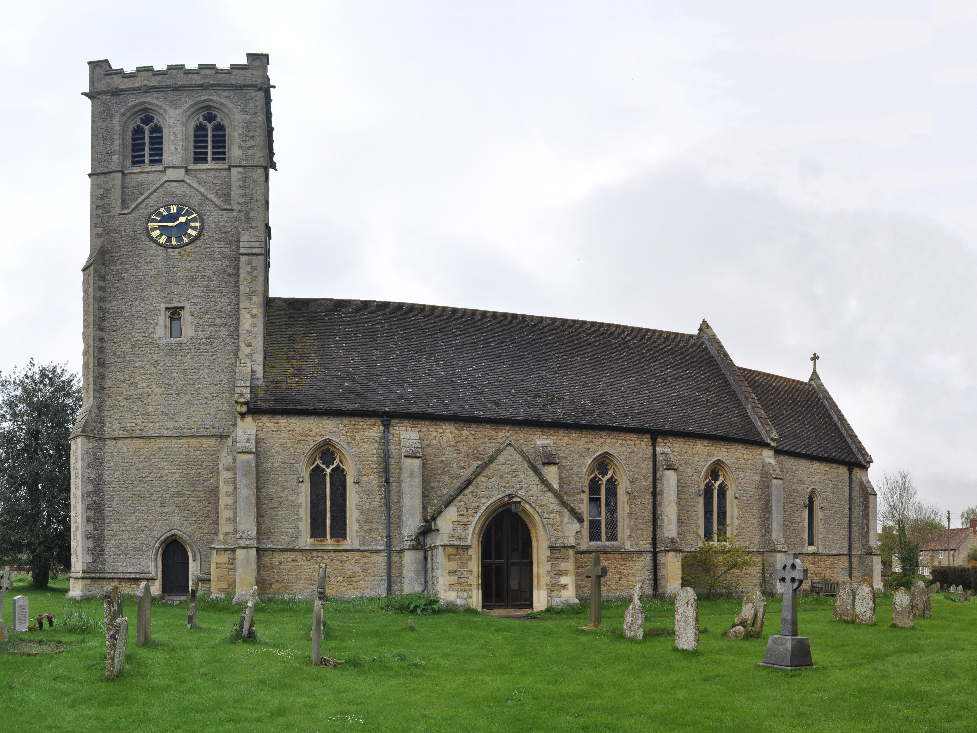
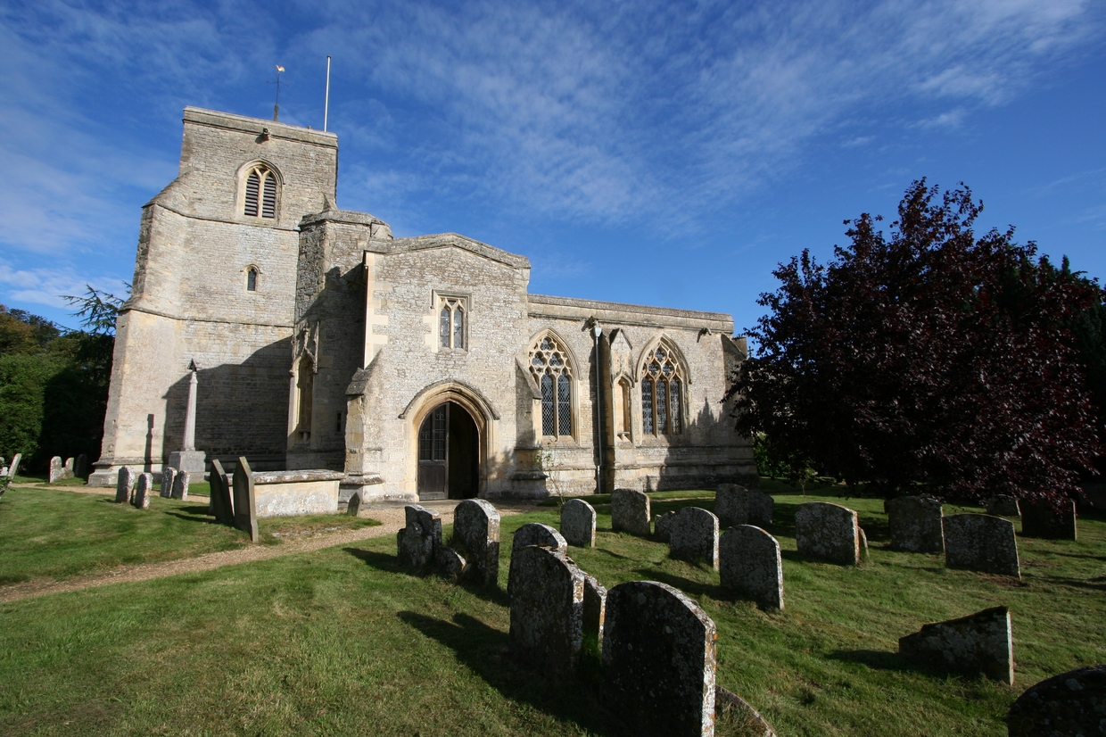
Haseley Little is a close-knit community, where locals take pride in their village and its history. The village church, St. Peter's, is a prominent feature and dates back to the 12th century, adding a sense of historical significance to the area.

Despite its small size, Haseley Little offers a range of amenities for its residents. A local pub provides a warm and friendly atmosphere, where locals and visitors can enjoy a pint and traditional pub fare. The village also has a primary school, ensuring that families have access to educational facilities within the community.

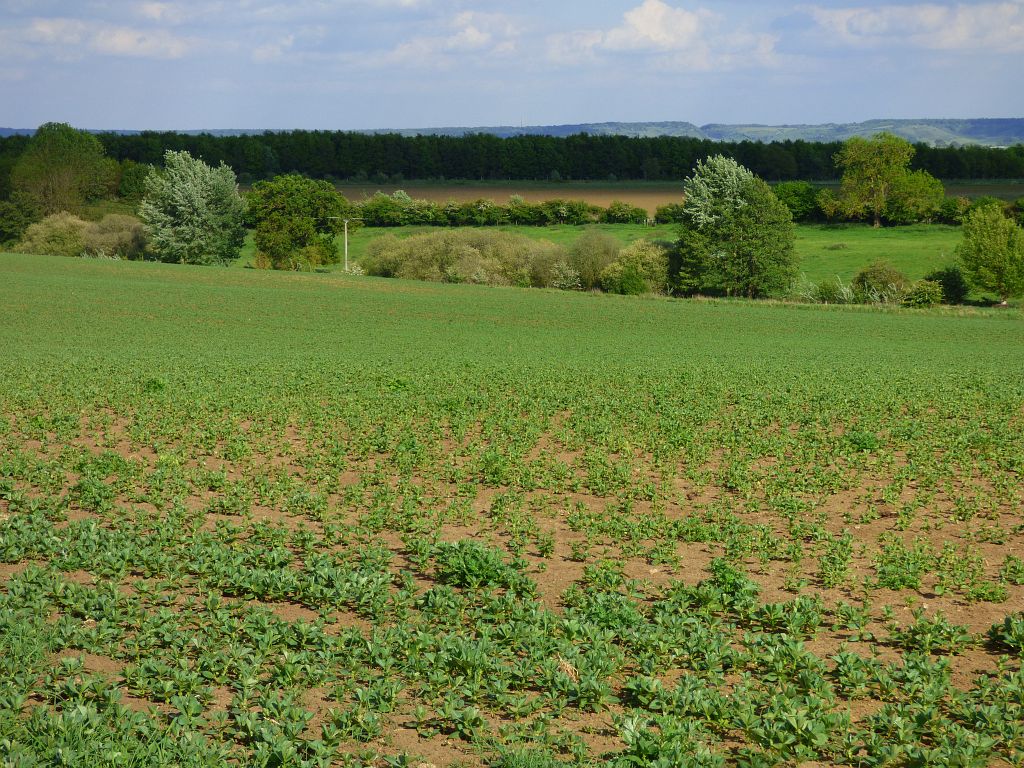
For those seeking outdoor activities, Haseley Little is surrounded by picturesque countryside, offering ample opportunities for walking, cycling, and exploring the natural surroundings. The village is also conveniently located near several larger towns and cities, making it an ideal base for those looking to explore the wider region.

In conclusion, Haseley Little is a charming and peaceful village in Oxfordshire, offering a slice of rural English life with its traditional architecture, close-knit community, and beautiful countryside.

If you have any feedback on the listing, please let us know in the comments section below.

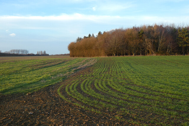
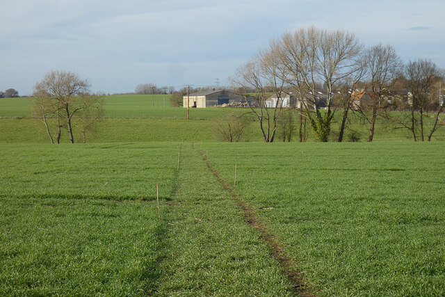
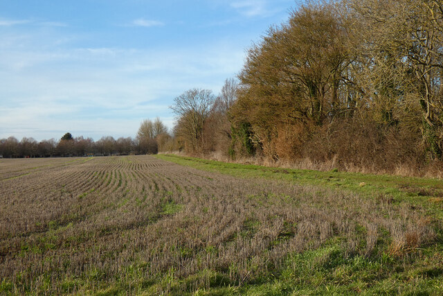
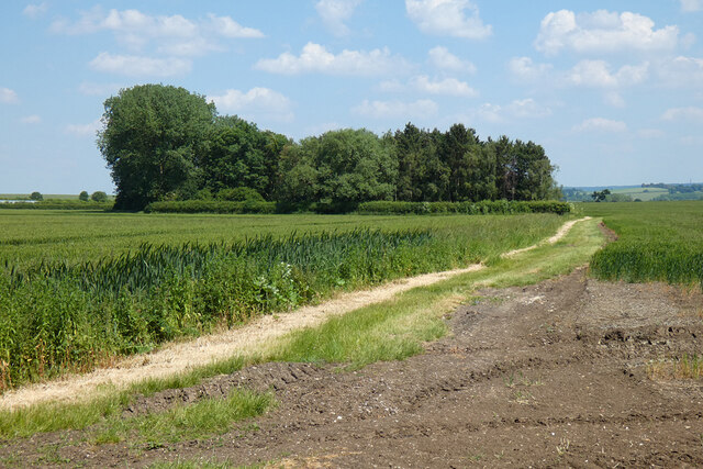
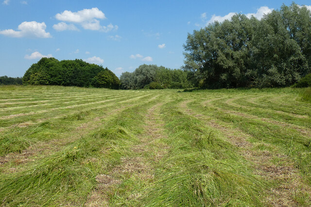
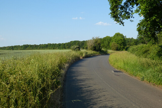
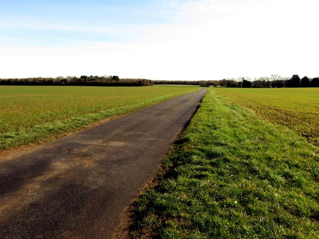
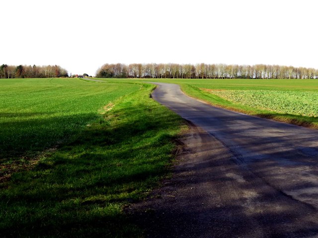
Haseley, Little Images

Images are sourced within 2km of 51.699763/-1.078667 or Grid Reference SP6300. Thanks to Geograph Open Source API. All images are credited.

Farmland, Great Haseley A footpath follows the edge of this field to the north of village.
Farmland, Great Haseley
A footpath follows the edge of this field to the north of village.
Farmland, Great Haseley A redundant stile on a footpath approaching the church from Latchford Lane.
Farmland, Great Haseley
A redundant stile on a footpath approaching the church from Latchford Lane.
Copse and farmland, Great Haseley A flat landscape beside the road to the west of Little Haseley.
Copse and farmland, Great Haseley
A flat landscape beside the road to the west of Little Haseley.
Farmland, Pyrton A footpath crossing arable fields and pasture to the south of Peggs Farm.
Farmland, Pyrton
A footpath crossing arable fields and pasture to the south of Peggs Farm.
Farmland, Great Haseley Permissive footpaths follow the southern and, here, the eastern edges of a field of stubble to the south of Little Haseley.
Farmland, Great Haseley
Permissive footpaths follow the southern and, here, the eastern edges of a field of stubble to the south of Little Haseley.
Farmland, Great Haseley Barley beside the bridleway at Sands Farm.
Farmland, Great Haseley
Barley beside the bridleway at Sands Farm.
Farmland, Pyrton Wheat and a copse  at Standhill in the northernmost part of the strip parish and very remote from the village itself.
Farmland, Pyrton
Wheat and a copse at Standhill in the northernmost part of the strip parish and very remote from the village itself.
Farmland, Great Haseley A narrow strip of grass on low-lying land beside the Haseley Brook have been cut for hay or silage.
Farmland, Great Haseley
A narrow strip of grass on low-lying land beside the Haseley Brook have been cut for hay or silage.
Road, Little Milton A relatively modern section of the Chalgrove to Little Milton road dating from when the southern part of Rofford Lane was lost to Chalgrove Airfield.
Road, Little Milton
A relatively modern section of the Chalgrove to Little Milton road dating from when the southern part of Rofford Lane was lost to Chalgrove Airfield.
Great Haseley Windmill
A rural road to Little Haseley
A field near Little Haseley
A rural road to Little HaseleyMilton
A rural road to Little Haseley
Thame Road into Little Haseley
Footpath to Great Haseley
A stile on the footpath The footpath runs to Tetsworth.
A stile on the footpath
The footpath runs to Tetsworth.
The road to Great Haseley
Show me another place!

Haseley, Little is located at Grid Ref: SP6300 (Lat: 51.699763, Lng: -1.078667)

Administrative County: Oxfordshire

District: South Oxfordshire

Police Authority: Thames Valley

What 3 Words

///weaned.rephrase.strutted. Near Chalgrove, Oxfordshire

Related Wikis

Wells Farm

Wells Farm is a 64-hectare (160-acre) nature reserve on the eastern outskirts of Little Milton in Oxfordshire. It is managed by the Berkshire, Buckinghamshire...

Great Haseley

Great Haseley is a village and civil parish in South Oxfordshire, England. The village is about 4.5 miles (7 km) southwest of Thame. The parish includes...

Little Milton, Oxfordshire

Little Milton is a village and civil parish in Oxfordshire, about 6 miles (10 km) southwest of Thame and 7 miles (11 km) southeast of Oxford. The parish...

Great Milton

Great Milton is a village and civil parish in Oxfordshire, about 7 miles (11 km) east of Oxford. The 2011 Census recorded the parish's population as 1...
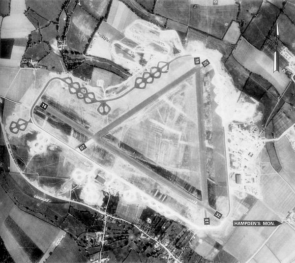
Chalgrove Airfield

Chalgrove Airfield (ICAO: EGLJ) is a former Second World War airfield in Oxfordshire, England. It is approximately 3 mi (4.8 km) north-northeast of Benson...

Ascott, Oxfordshire

Ascott is a hamlet and manor house in the English county of Oxfordshire. Ascott lies close to the River Thame north of Dorchester, around about 7 miles...

Chippinghurst Manor

Chippinghurst Manor is a Grade II listed country house in Oxfordshire, England.The name of "Chippinghurst" manor means "the hill of Cibba" and appeared...

Cuddesdon and Denton

Cuddesdon and Denton is a civil parish in the county of Oxfordshire, England. Forming part of South Oxfordshire district its main settlements are Cuddesdon...

Nearby Amenities

Located within 500m of 51.699763,-1.078667
Little Haseley
Created By: xybot
Place: hamlet
Lat/Long: 51.7001948/-1.0734045
Post Box
Operator: Royal Mail
Post Box Type: lamp
Ref: OX44 533D
Royal Cypher: EIIR
Lat/Long: 51.7008082/-1.0736897
Green
Naptan AtcoCode: 340000472NTH
Naptan Bearing: E
Naptan BusStopType: CUS
Naptan CommonName: Green
Naptan Indicator: Opposite
Naptan Landmark: Green
Naptan NaptanCode: oxfaptdj
Naptan Street: Village Road
Naptan Verified: no
Source: naptan_import
Lat/Long: 51.7009851/-1.0730524
Bus Stop
Green
Bus: yes
Naptan AtcoCode: 340000472WST
Naptan Bearing: W
Naptan CommonName: Green
Naptan Indicator: Outside
Naptan Landmark: Green
Naptan NaptanCode: oxfaptdg
Naptan Notes: Timetable Case Only
Naptan Street: Village Road
Naptan Verified: no
Public Transport: platform
Source: naptan_import
Lat/Long: 51.70094/-1.0730244
Power: pole
Lat/Long: 51.7022042/-1.0744463
Power: pole
Lat/Long: 51.7030139/-1.0749484
Power: pole
Lat/Long: 51.7018269/-1.0742119
The data included in this document is from www.openstreetmap.org. The data is made available under ODbL.

Have you been to Haseley, Little?

Leave your review of Haseley, Little below (or comments, questions and feedback).