Carter's Copse
Wood, Forest in Oxfordshire South Oxfordshire
England
Carter's Copse

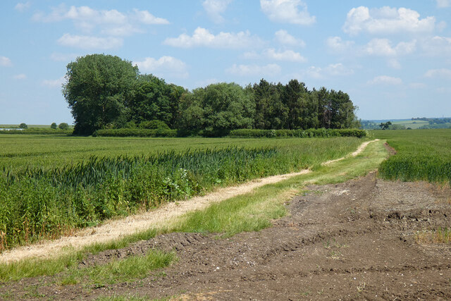
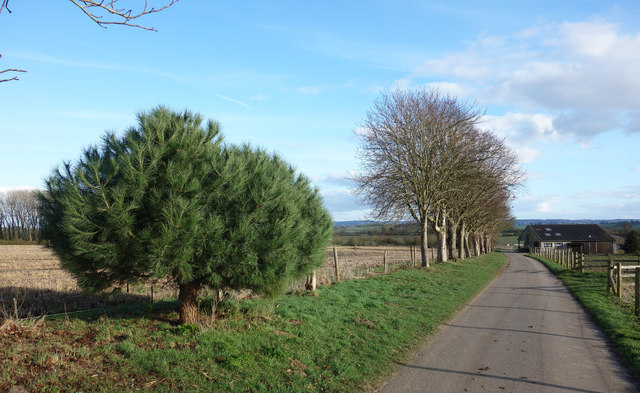
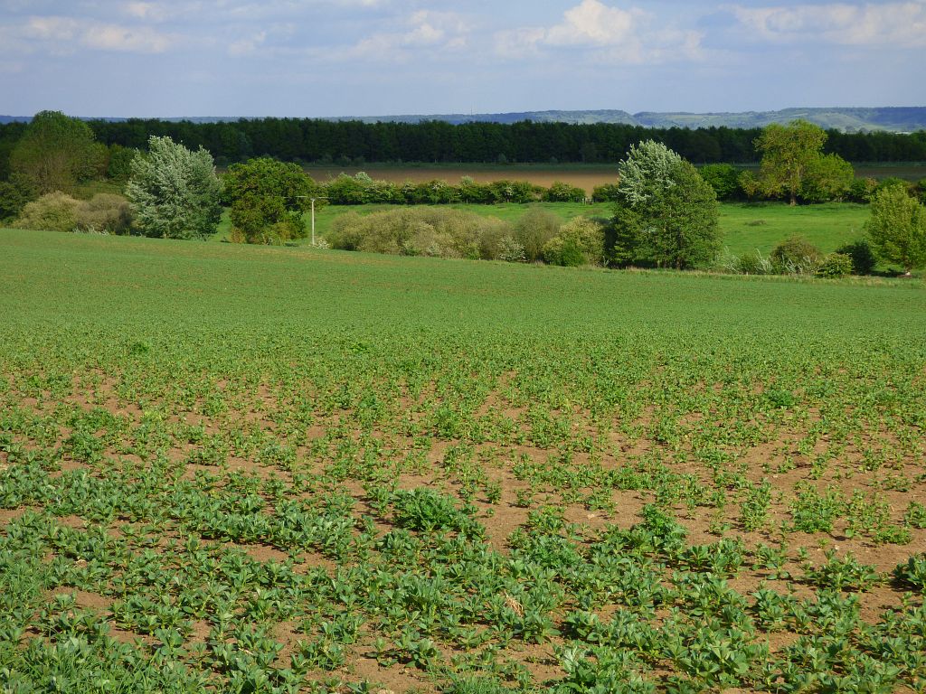
Carter's Copse is a picturesque woodland located in Oxfordshire, England. Covering an area of approximately 20 acres, this enchanting copse is nestled amidst the rolling countryside, offering a tranquil retreat for nature enthusiasts and avid hikers alike.
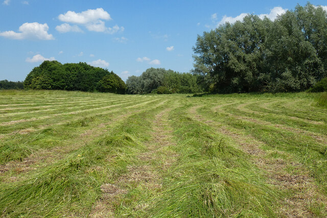
The copse boasts a diverse range of tree species, including oak, beech, and birch, which create a stunning canopy of greenery that changes with the seasons. In spring, the woodland floor is adorned with vibrant bluebells, creating a mesmerizing carpet of color. During autumn, the copse transforms into a spectacle of golden hues as the leaves turn and fall.
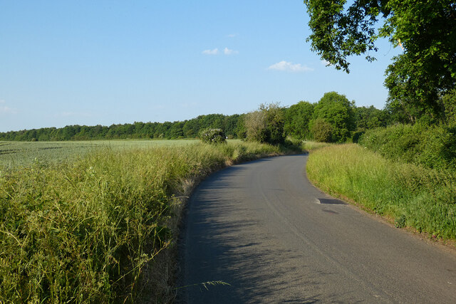
Numerous walking trails meander through the copse, offering visitors the opportunity to explore its hidden treasures. These paths wind through the ancient woodland, revealing charming clearings and secluded spots perfect for picnics or quiet contemplation. Additionally, the copse is home to a variety of wildlife, including deer, foxes, and a rich assortment of bird species, making it a haven for wildlife enthusiasts and photographers.
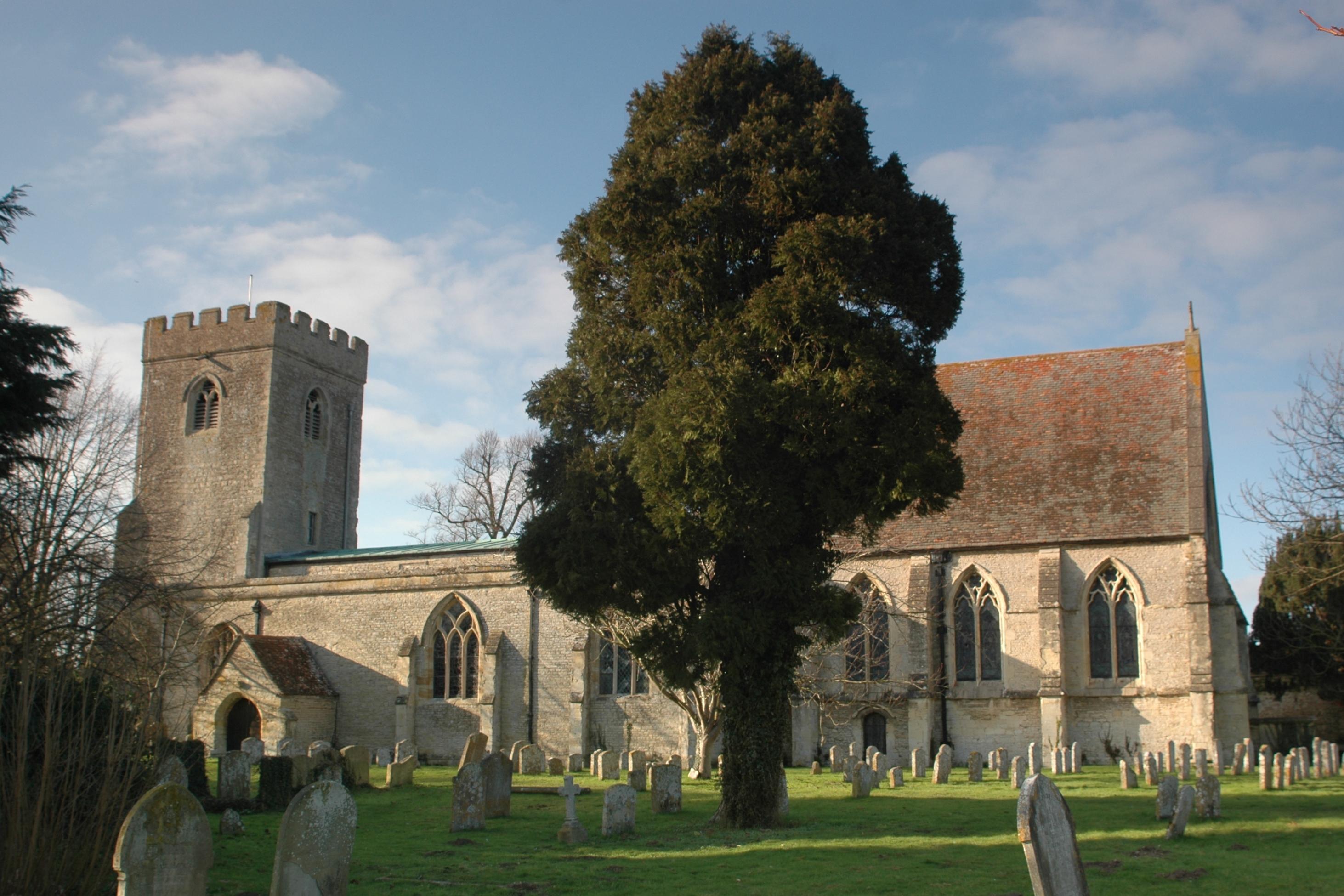
Carter's Copse also holds historical significance, with some trees dating back hundreds of years. The copse has been carefully managed by local conservation organizations to preserve its natural beauty and protect its fragile ecosystem.
With its serene atmosphere and captivating natural beauty, Carter's Copse is a destination that offers a respite from the hustle and bustle of everyday life, allowing visitors to reconnect with nature and immerse themselves in the magic of this Oxfordshire woodland.
If you have any feedback on the listing, please let us know in the comments section below.
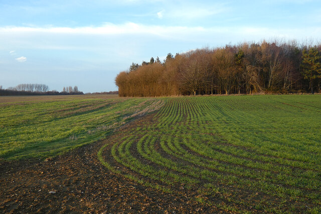
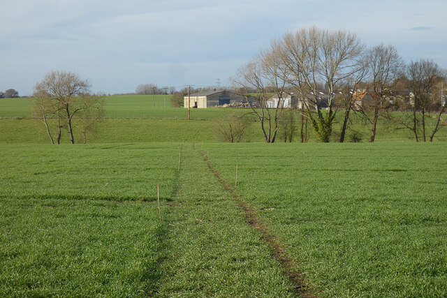
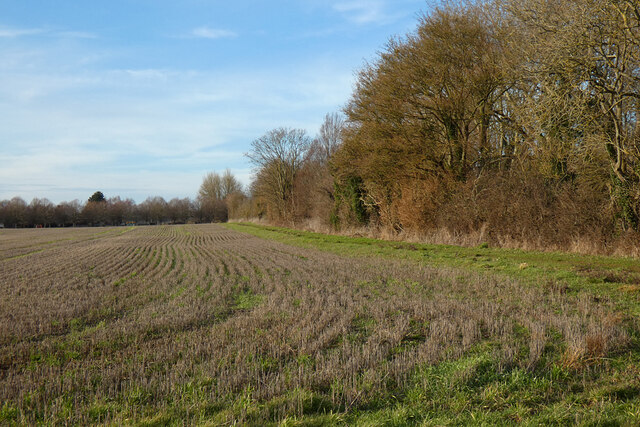
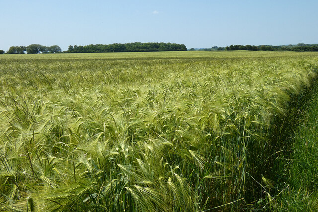
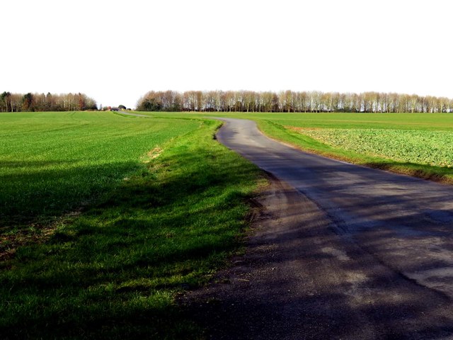
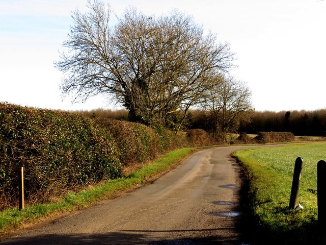
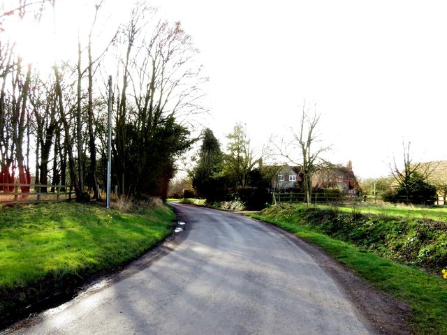
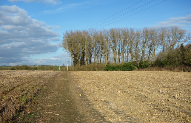
Carter's Copse Images
Images are sourced within 2km of 51.695844/-1.0761599 or Grid Reference SP6300. Thanks to Geograph Open Source API. All images are credited.


Carter's Copse is located at Grid Ref: SP6300 (Lat: 51.695844, Lng: -1.0761599)
Administrative County: Oxfordshire
District: South Oxfordshire
Police Authority: Thames Valley
What 3 Words
///charm.clouds.fortified. Near Chalgrove, Oxfordshire
Nearby Locations
Related Wikis
Wells Farm
Wells Farm is a 64-hectare (160-acre) nature reserve on the eastern outskirts of Little Milton in Oxfordshire. It is managed by the Berkshire, Buckinghamshire...
Great Haseley
Great Haseley is a village and civil parish in South Oxfordshire, England. The village is about 4.5 miles (7 km) southwest of Thame. The parish includes...
Little Milton, Oxfordshire
Little Milton is a village and civil parish in Oxfordshire, about 6 miles (10 km) southwest of Thame and 7 miles (11 km) southeast of Oxford. The parish...
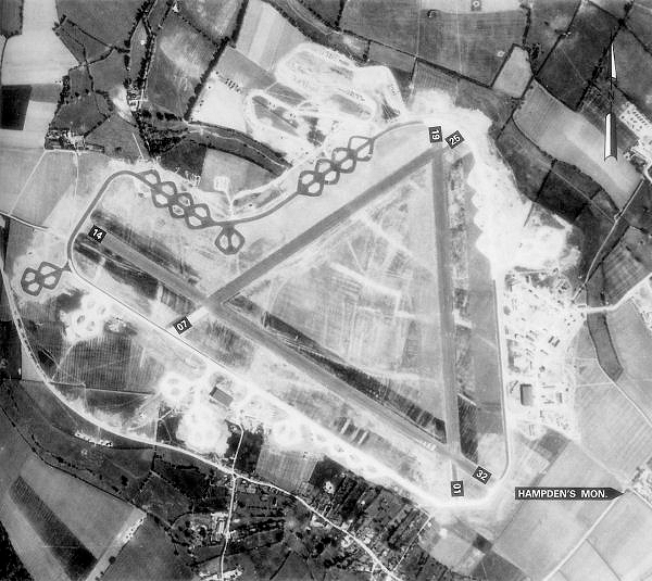
Chalgrove Airfield
Chalgrove Airfield (ICAO: EGLJ) is a former Second World War airfield in Oxfordshire, England. It is approximately 3 mi (4.8 km) north-northeast of Benson...
Great Milton
Great Milton is a village and civil parish in Oxfordshire, about 7 miles (11 km) east of Oxford. The 2011 Census recorded the parish's population as 1...

Ascott, Oxfordshire
Ascott is a hamlet and manor house in the English county of Oxfordshire. Ascott lies close to the River Thame north of Dorchester, around about 7 miles...

Chalgrove
Chalgrove is a village and civil parish in South Oxfordshire about 10 miles (16 km) southeast of Oxford. The parish includes the hamlet of Rofford and...

Easington, South Oxfordshire
Easington is a small village in the civil parish of Cuxham with Easington, in the South Oxfordshire district, in the county of Oxfordshire, England. It...
Nearby Amenities
Located within 500m of 51.695844,-1.0761599Have you been to Carter's Copse?
Leave your review of Carter's Copse below (or comments, questions and feedback).