Burrier Stack
Island in Shetland
Scotland
Burrier Stack
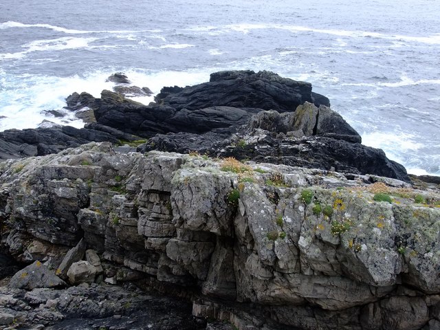
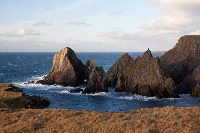
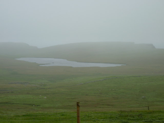
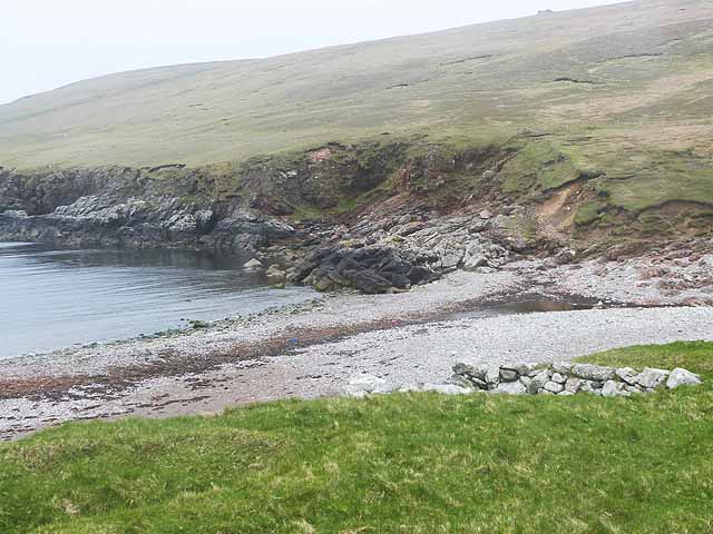
Burrier Stack is a small, uninhabited island located in the Shetland archipelago, off the north coast of mainland Scotland. It is situated in Yell Sound, between the islands of Yell and Unst. The island is a designated Site of Special Scientific Interest (SSSI) due to its unique geological features and diverse birdlife.
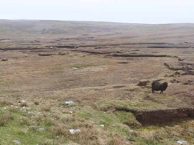
At just 0.3 hectares in size, Burrier Stack is a rocky outcrop rising from the sea, reaching a maximum height of approximately 50 meters. Its rugged cliffs provide nesting sites for a variety of seabirds, including puffins, guillemots, razorbills, and kittiwakes. The island is particularly known for its puffin colony, which attracts birdwatchers and nature enthusiasts from all over.
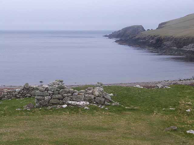
Access to Burrier Stack is challenging, as there are no regular boat services to the island. However, it can be observed from nearby Yell or Unst, offering stunning views of the seabirds in flight and the surrounding coastal landscape. The surrounding waters are also rich in marine life, making it a popular spot for fishing and diving.
Due to its protected status, visitors are not permitted to land on Burrier Stack without prior permission from the relevant authorities. This is to ensure the preservation of its fragile ecosystem and the undisturbed breeding grounds of its bird population.
Burrier Stack serves as a prime example of the unique natural beauty and biodiversity found within the Shetland Islands. Its dramatic cliffs, abundant birdlife, and surrounding marine environment make it a must-see destination for nature lovers and birdwatchers alike.
If you have any feedback on the listing, please let us know in the comments section below.
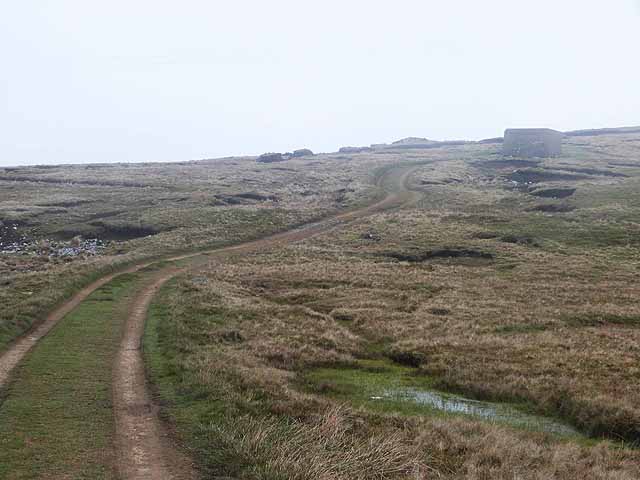
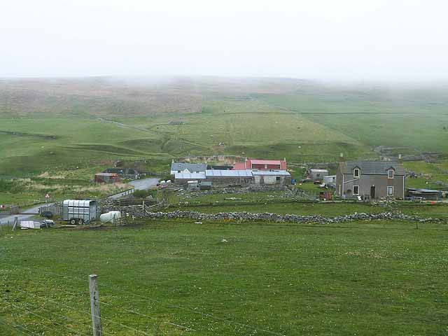
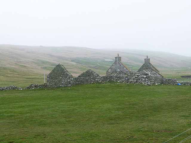
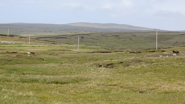
Burrier Stack Images
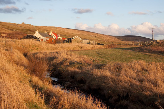
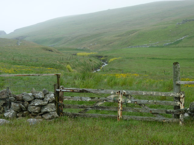
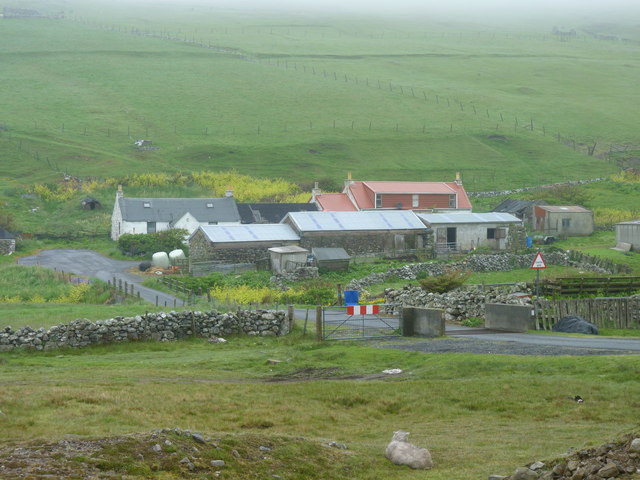
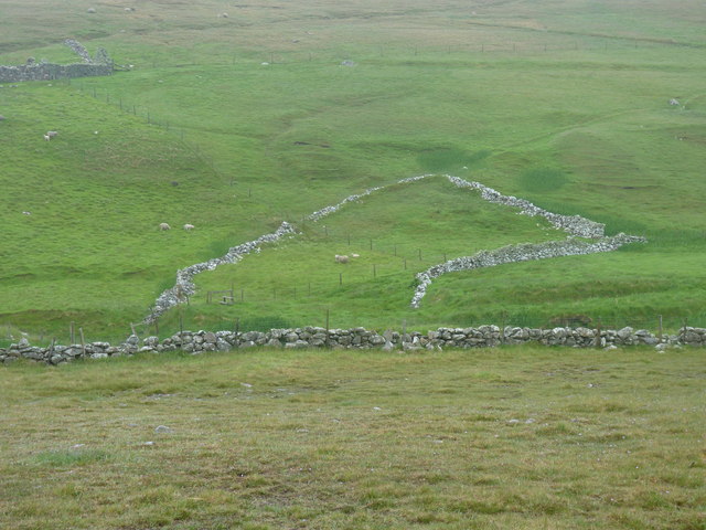
Images are sourced within 2km of 60.247521/-1.6990407 or Grid Reference HU1651. Thanks to Geograph Open Source API. All images are credited.


Burrier Stack is located at Grid Ref: HU1651 (Lat: 60.247521, Lng: -1.6990407)
Unitary Authority: Shetland Islands
Police Authority: Highlands and Islands
What 3 Words
///valuables.contents.layover. Near Walls, Shetland Islands
Nearby Locations
Related Wikis

Sandness
Sandness (the "d" is not pronounced locally) is a headland and district in the west of Shetland Mainland, Scotland. Sandness was a civil parish, which...

Burrastow
Burrastow is a location on the west shore of Vaila Sound near the village of Walls on the Shetland Mainland, Scotland. There are two small piers and the...

Walls, Shetland
Walls, known locally as Waas (Old Norse: Vagar = "Sheltered Bays" (voes) - the Ordnance Survey added the "ll" as they thought it was a corruption of "walls...

Papa Stour Airstrip
Papa Stour Airstrip is a small airstrip in the village of Biggings on the island of Papa Stour. Shetland, Scotland. == History == Papa Stour Airstrip opened...
Nearby Amenities
Located within 500m of 60.247521,-1.6990407Have you been to Burrier Stack?
Leave your review of Burrier Stack below (or comments, questions and feedback).