Barwell
Settlement in Surrey
England
Barwell
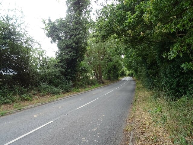
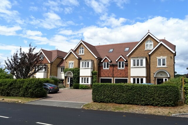
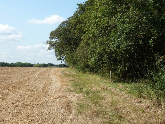
Barwell is a small village located in the county of Surrey, England. Situated about 25 miles south-west of London, it falls within the borough of Elmbridge. The village is surrounded by picturesque countryside and offers a peaceful and rural setting for its residents.
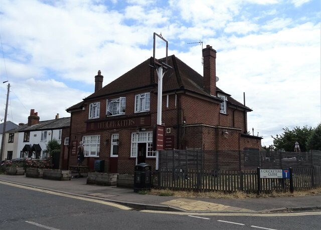
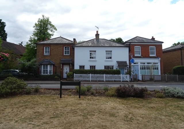
Barwell is known for its charming and traditional character, with many historic buildings and landmarks. The village is home to a beautiful church, St. Mary's, which dates back to the 12th century and is a popular spot for visitors. The church features stunning architecture and a peaceful churchyard.
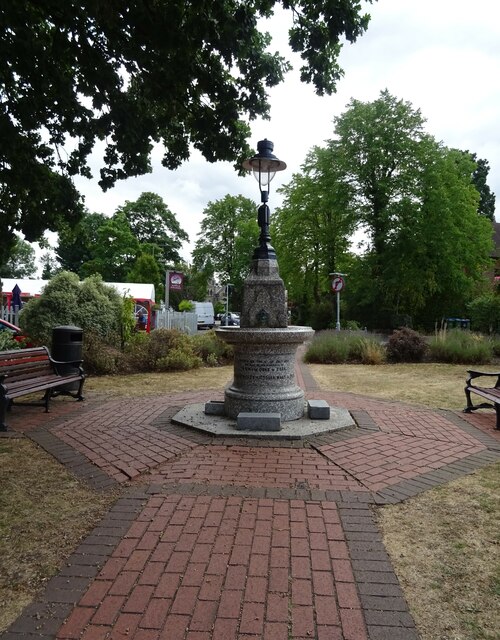
The village is relatively small, with a population of around 1,000 residents. It has a strong sense of community, with local events and activities organized throughout the year. The village hall is a hub for community gatherings and hosts a variety of clubs and societies.
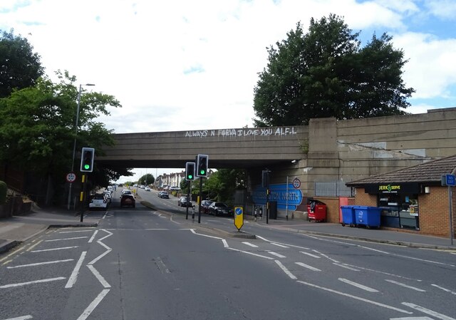
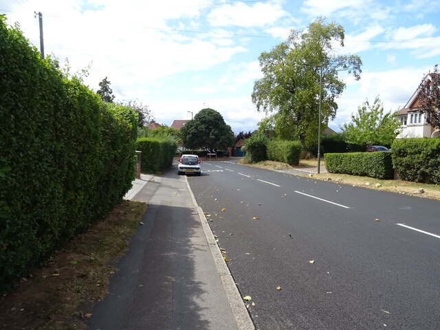
Barwell is well-connected to nearby towns and cities, with good transport links. The M25 motorway is easily accessible, providing convenient connections to London and other parts of the country. The nearby towns of Cobham and Esher offer a range of amenities, including shops, restaurants, and leisure facilities.
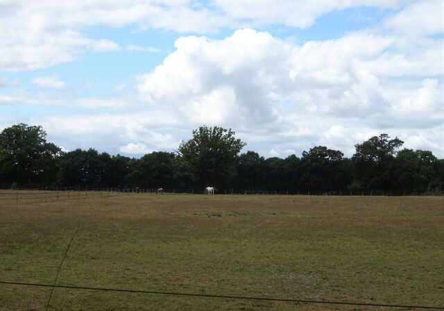
The surrounding countryside provides ample opportunities for outdoor activities, such as walking, cycling, and horse riding. There are also several golf courses in the area for enthusiasts to enjoy.
Overall, Barwell offers a tranquil and idyllic setting for those seeking a peaceful village lifestyle, while still being within easy reach of larger towns and cities.
If you have any feedback on the listing, please let us know in the comments section below.
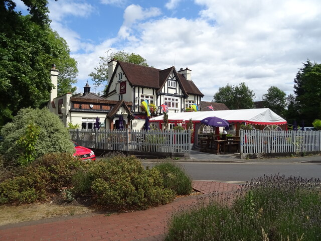
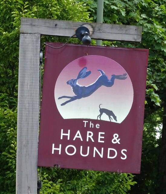
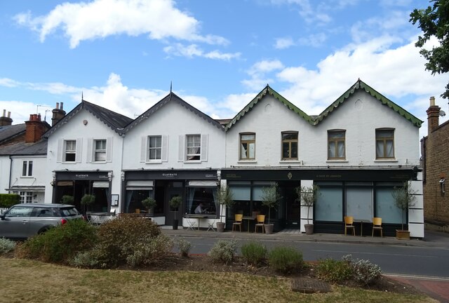
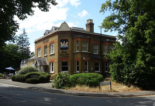
Barwell Images
Images are sourced within 2km of 51.354038/-0.3211755 or Grid Reference TQ1763. Thanks to Geograph Open Source API. All images are credited.


Barwell is located at Grid Ref: TQ1763 (Lat: 51.354038, Lng: -0.3211755)
Unitary Authority: Kingston upon Thames
Police Authority: Metropolitan
What 3 Words
///laser.flags.lands. Near Chessington, London
Nearby Locations
Related Wikis

Barwell, London
Barwell is a small locality in the London Borough of Kingston upon Thames, located between Chessington and Claygate and historically in the county of Surrey...
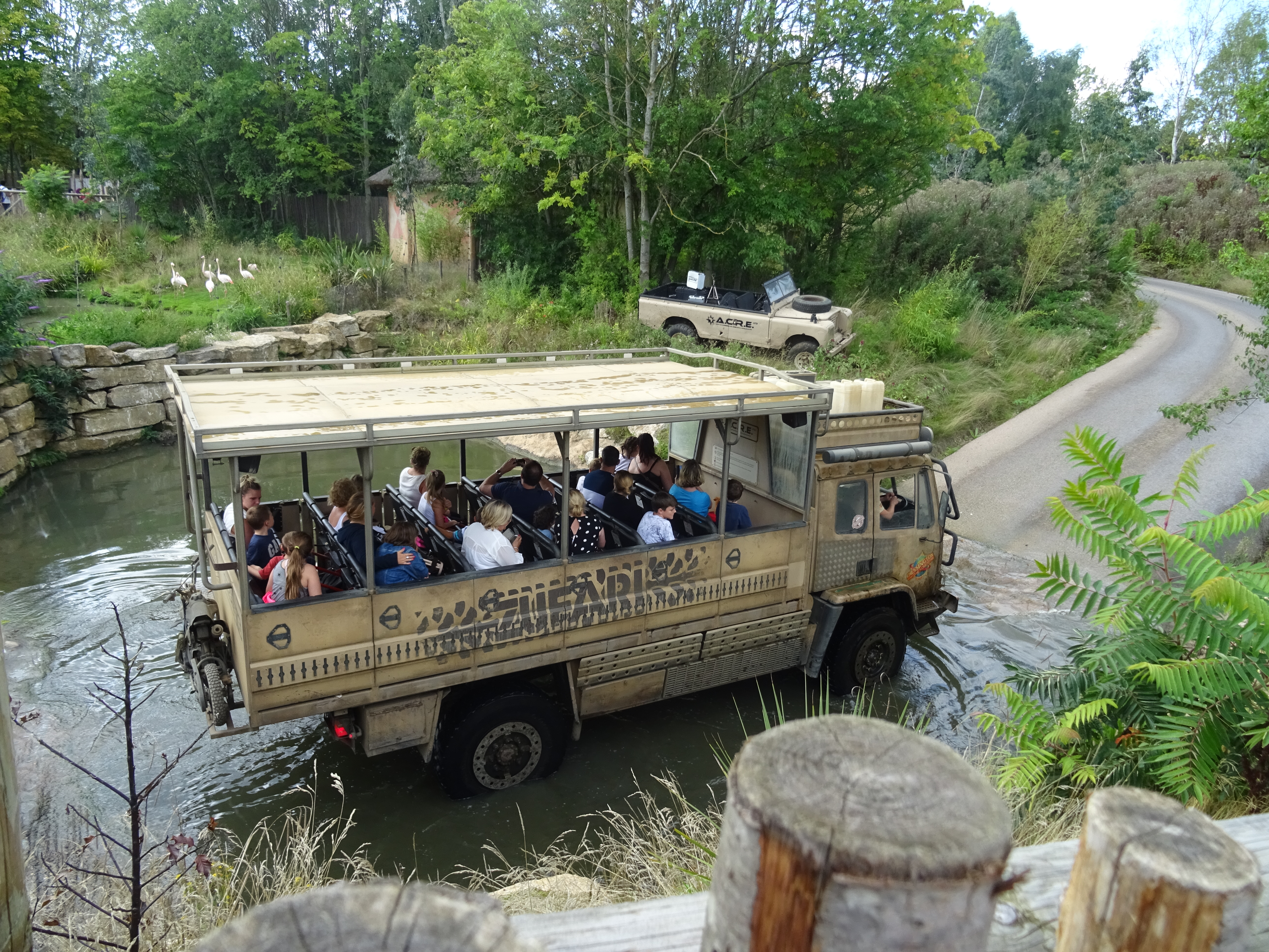
Zufari: Ride into Africa!
Zufari: Ride into Africa (officially stylized as ZUFARI: Ride into Africa!) is an off-road safari trail jeep ride at Chessington World of Adventures, a...
Terror Tomb
Terror Tomb (later renamed Forbidden Tomb) was a dark ride attraction at Chessington World of Adventures in southwest London, England, themed as an adventure...
The 5th Dimension (ride)
The 5th Dimension was a dark ride at the Chessington World of Adventures Resort in southwest London, England, when the theme park opened and was the first...
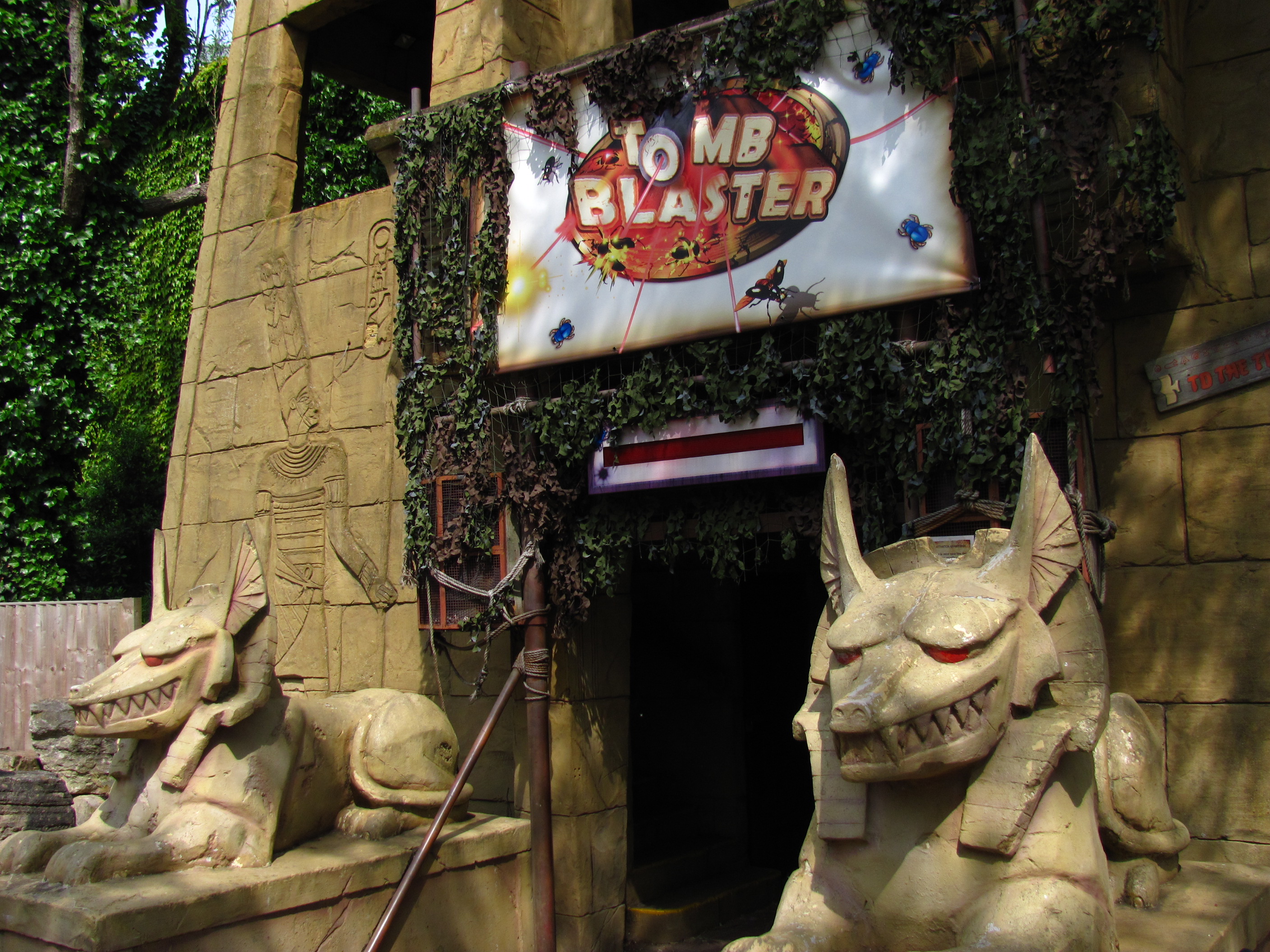
Tomb Blaster
Tomb Blaster is a dark ride that opened in 2002 at Chessington World of Adventures Resort in London. Riders travel in trains through a series of crypts...
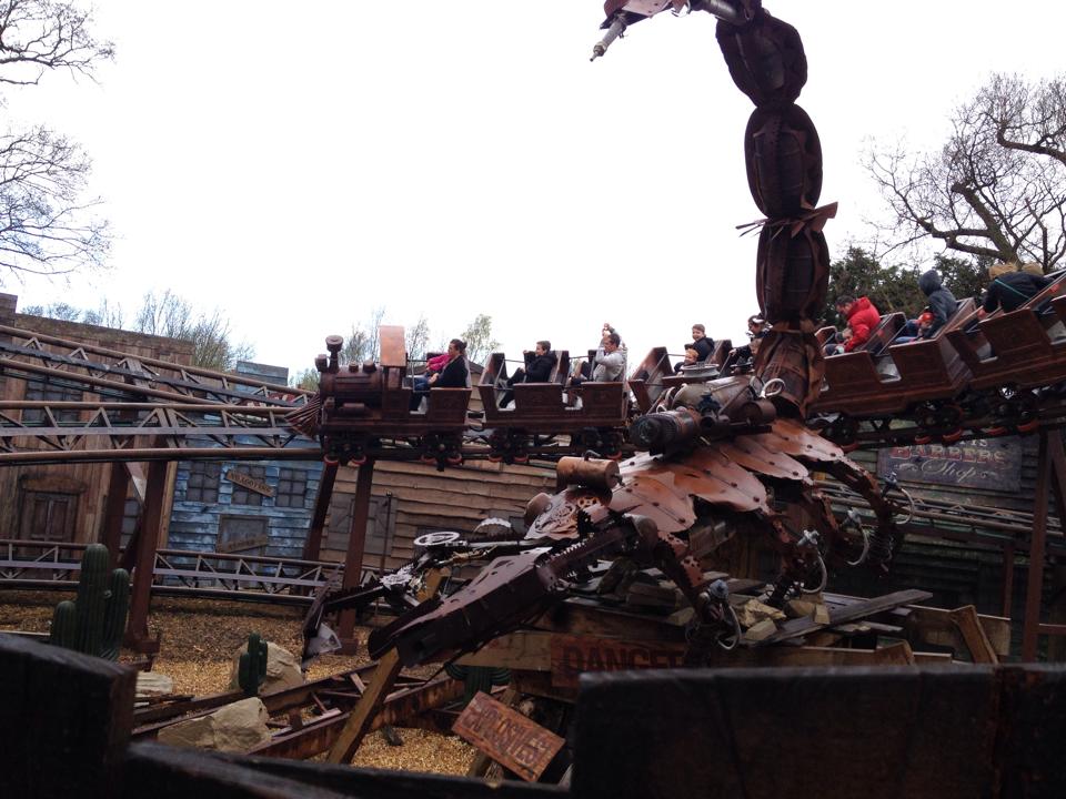
Scorpion Express
Scorpion Express (originally Runaway Train) was a mine train themed powered roller coaster at Chessington World of Adventures in Greater London, England...
Rameses Revenge
Rameses Revenge was a Top Spin ride at Chessington World of Adventures Resort theme park in southwest London, England, introduced in 1995. It was the world...

Tiger Rock
Tiger Rock (previously known as Dragon Falls and Dragon River) is a flume ride at the theme park Chessington World of Adventures in Chessington, southwest...
Nearby Amenities
Located within 500m of 51.354038,-0.3211755Have you been to Barwell?
Leave your review of Barwell below (or comments, questions and feedback).