Willie Anderson
Island in Berwickshire
Scotland
Willie Anderson
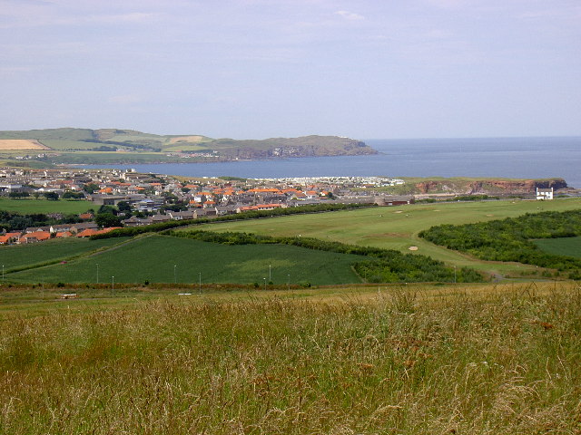
Willie Anderson, Berwickshire is a small island located off the southeastern coast of Scotland, in the county of Berwickshire. With a total area of approximately 10 acres, it is one of the smallest islands in the region. The island is situated in the North Sea, about 1.5 miles from the mainland, and is accessible by boat or ferry.
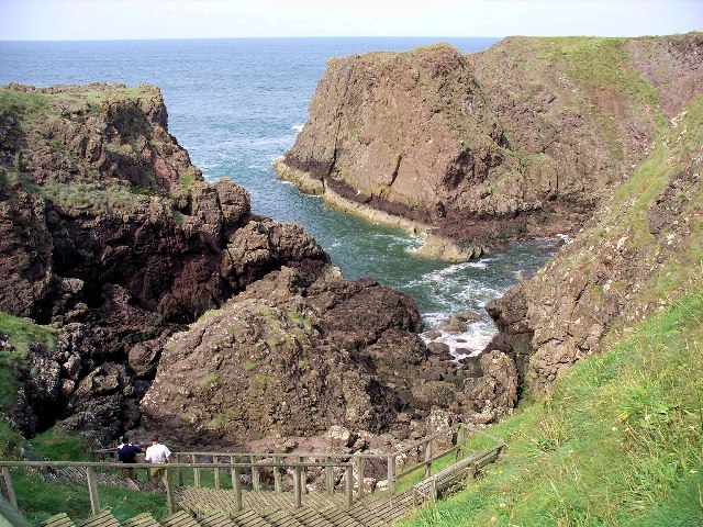
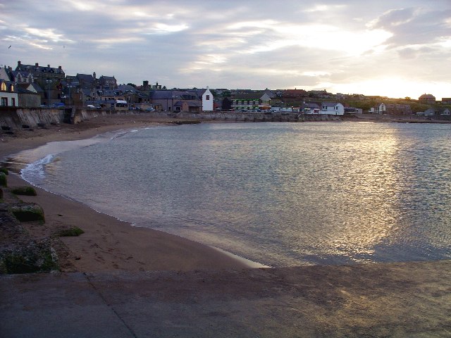
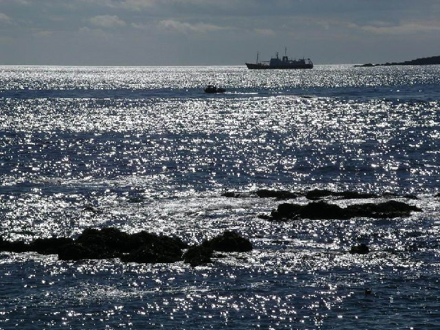
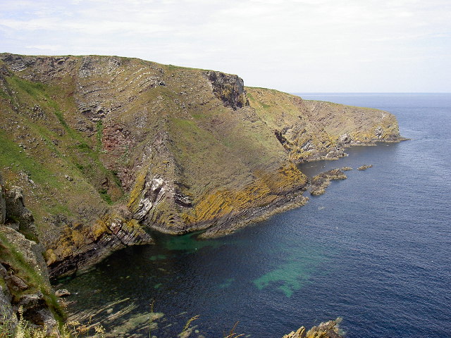
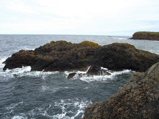
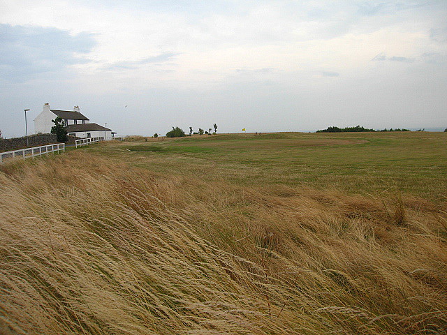
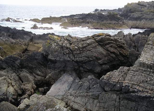
Despite its size, Willie Anderson is known for its stunning natural beauty and picturesque landscapes. The island is characterized by rolling hills, rugged cliffs, and sandy beaches, offering visitors a variety of outdoor activities such as hiking, bird watching, and beachcombing. The surrounding waters are also popular among anglers, who come to the island in search of a variety of fish species.
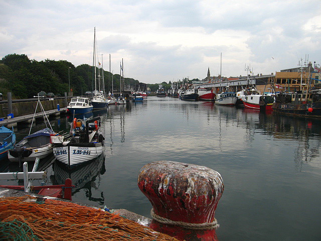
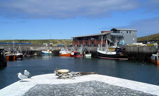
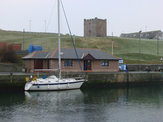
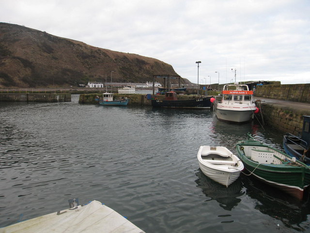
The island is sparsely populated, with only a handful of permanent residents. Most of the buildings on Willie Anderson are traditional cottages, adding to the island's quaint and charming atmosphere. There is also a small harbor, providing mooring facilities for boats and small vessels.
Due to its remote location, Willie Anderson offers a peaceful and tranquil environment, making it an ideal destination for those seeking solitude and relaxation. However, amenities and services on the island are limited, with no shops or restaurants available. Visitors are advised to bring their own supplies or travel to the nearby town of Berwick-upon-Tweed for provisions.
Overall, Willie Anderson, Berwickshire is a hidden gem, offering visitors a unique and unspoiled Scottish island experience.
If you have any feedback on the listing, please let us know in the comments section below.
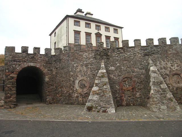
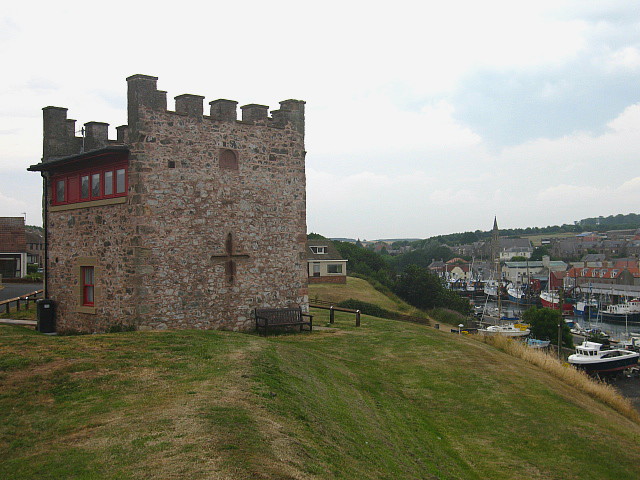
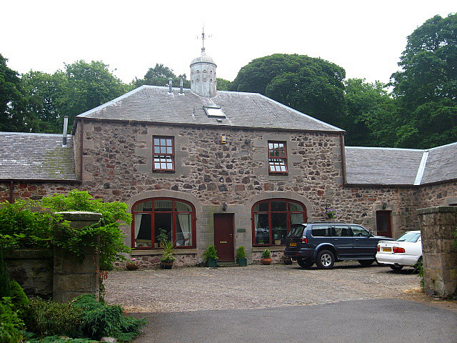
Willie Anderson Images
Images are sourced within 2km of 55.868602/-2.0736872 or Grid Reference NT9563. Thanks to Geograph Open Source API. All images are credited.

Willie Anderson is located at Grid Ref: NT9563 (Lat: 55.868602, Lng: -2.0736872)
Unitary Authority: The Scottish Borders
Police Authority: The Lothians and Scottish Borders
What 3 Words
///opera.clumped.space. Near Eyemouth, Scottish Borders
Nearby Locations
Related Wikis

Eye Water
Eye Water is a river in the Scottish Borders, it flows in a general southeasterly direction from its source in the Lammermuir Hills to its estuary at Eyemouth...
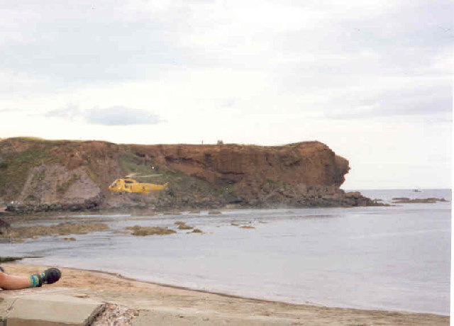
Eyemouth Lifeboat Station
Eyemouth Lifeboat Station is a Royal National Lifeboat Institution (RNLI) marine-rescue facility in Eyemouth, Berwickshire, Scotland. The station was founded...

Eyemouth railway station
Eyemouth railway station served the village of Eyemouth, Scottish Borders, Scotland from 1891 to 1962 on the Eyemouth Railway. == History == The station...

Eyemouth disaster
The Eyemouth disaster was a severe European windstorm that struck the south-eastern coast of Scotland on 14 October 1881. One hundred and eighty-nine fishermen...

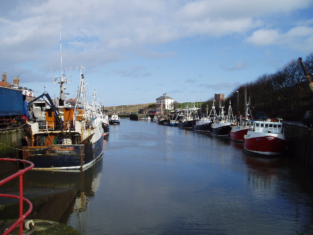
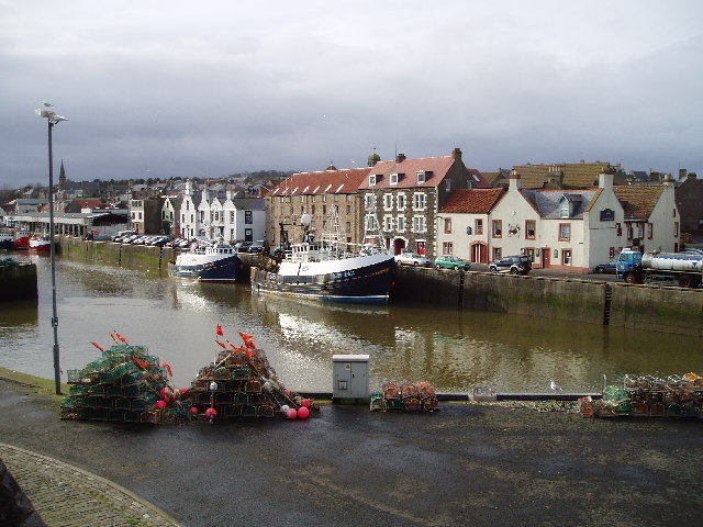
Eyemouth
Eyemouth (Scots: Heymooth) is a small town and civil parish in Berwickshire, in the Scottish Borders area of Scotland. It is two miles (three kilometres...
Hurkar Rocks
The Hurkar Rocks are a group of rocks outside the harbour of Eyemouth in the Scottish Borders area of Scotland. The rocks become exposed during low tide...

Burnmouth railway station
Burnmouth railway station served the village of Burnmouth, Ayton, Scotland from 1848 to 1962 on the East Coast Main Line. == History == There is some confusion...
Burnmouth
Burnmouth is a small fishing village located adjacent to the A1 road on the east coast of Scotland. It is the first village in Scotland on the A1, after...
Nearby Amenities
Located within 500m of 55.868602,-2.0736872Have you been to Willie Anderson?
Leave your review of Willie Anderson below (or comments, questions and feedback).