Saint George's Island
Island in Lancashire
England
Saint George's Island
Saint George's Island, also known as Peel Island, is a small island located in Morecambe Bay, off the coast of Lancashire, England. The island is situated approximately 3 miles west of Walney Island and measures around 25 acres in size. It is accessible during low tides and becomes completely submerged during high tides, making it a tidal island.
The island holds great historical significance and is named after the patron saint of England, Saint George. It is believed to have been a place of worship and pilgrimage during the medieval period. Ruins of a chapel dedicated to Saint Patrick, the patron saint of Ireland, can still be found on the island, dating back to the 14th century.
Nature enthusiasts are drawn to Saint George's Island due to its rich biodiversity. The island is a designated Site of Special Scientific Interest (SSSI) and is home to a variety of bird species, including oystercatchers, curlews, and redshanks. It also serves as a breeding ground for seals, making it a popular spot for wildlife enthusiasts and photographers.
Visitors to the island can explore its rugged terrain, taking in the picturesque views of the surrounding Bay. However, caution is advised as the island can only be accessed during low tides and can quickly become dangerous during high tides due to fast-rising waters and quicksand.
Saint George's Island, with its historical and ecological significance, offers a unique and captivating experience for those who venture to visit this hidden gem in Lancashire.
If you have any feedback on the listing, please let us know in the comments section below.
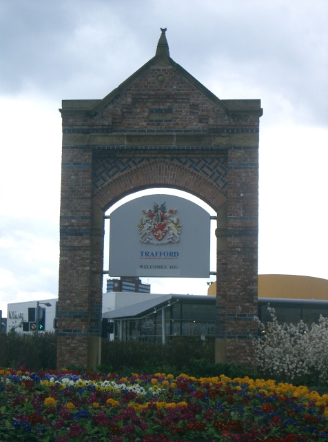
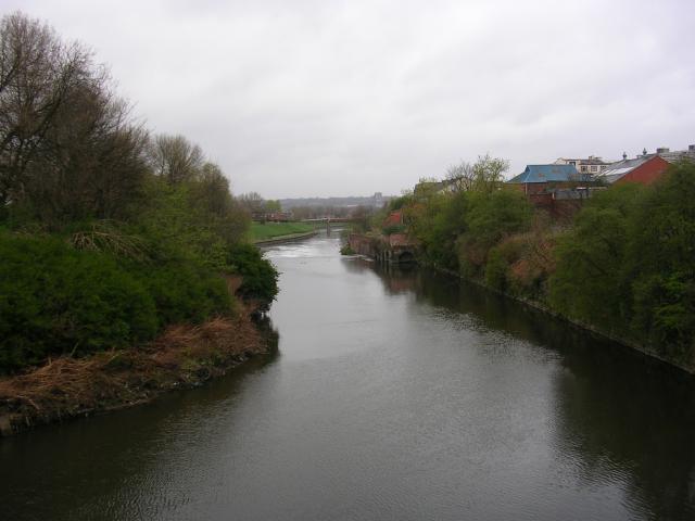
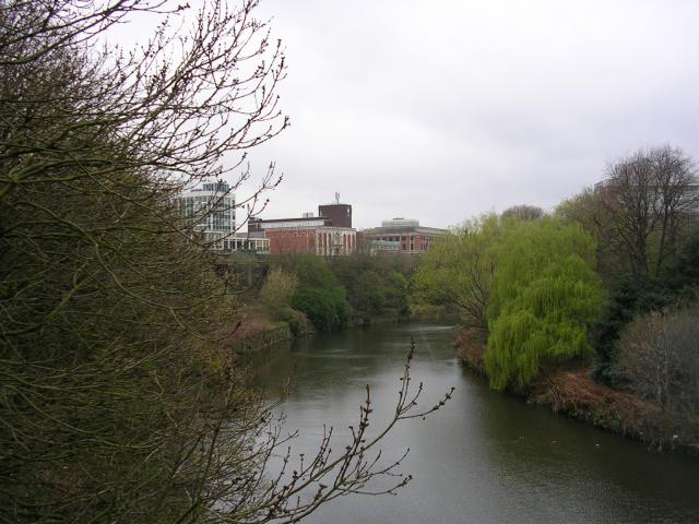
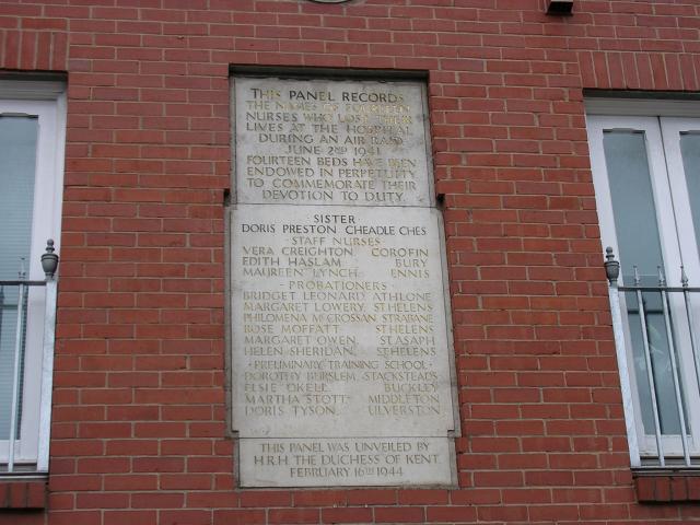
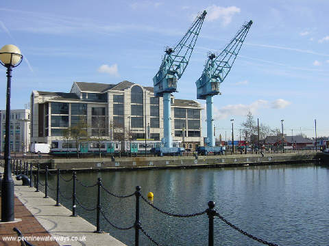
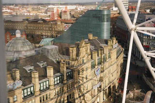
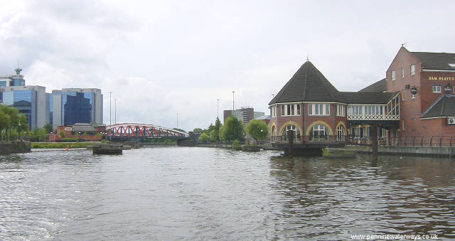
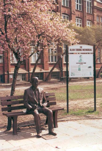
Saint George's Island Images
Images are sourced within 2km of 53.472799/-2.2631705 or Grid Reference SJ8297. Thanks to Geograph Open Source API. All images are credited.


Saint George's Island is located at Grid Ref: SJ8297 (Lat: 53.472799, Lng: -2.2631705)
Unitary Authority: Manchester
Police Authority: Greater Manchester
What 3 Words
///noting.ideas.frock. Near Hulme, Manchester
Nearby Locations
Related Wikis

Church of St George, Chester Road, Hulme
The Church of St George, Chester Road, Hulme, Manchester, is an early Gothic Revival church by Francis Goodwin, built in 1826–8. It was restored in 1884...

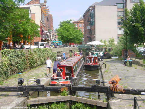
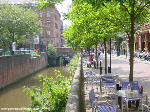
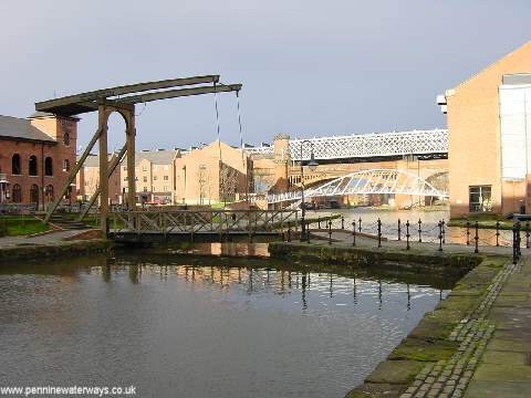
Hulme Locks Branch Canal
The Hulme Locks Branch Canal is a canal in the city of Manchester. It is 200m (one furlong) in length and was built to provide a direct waterway between...

Trinity Islands, Manchester
Trinity Islands is a residential skyscraper cluster under construction in Manchester, England, consisting of four towers between 39 and 60 storeys split...

Cornbrook tram stop
Cornbrook tram stop is a tram stop on Greater Manchester's light rail Metrolink system in the Cornbrook area of Manchester, England. It is an interchange...

North Pennine Ring
The North Pennine Ring is a canal ring which crosses the Pennines between Manchester, Leeds and Castleford. It follows parts of five canals, and shares...

Hulme Barracks
Hulme Barracks was a military installation in Hulme, Manchester, England. == History == The barracks were built in the Georgian-style and completed in...

Elizabeth Tower, Manchester
Elizabeth Tower is a 153 m (502 ft) tall, 52-storey residential skyscraper in Manchester, England. The building is part of the first phase of the Crown...
Cornbrook railway station
Cornbrook railway station was opened on the south side of Cornbrook Road in the St. George's area of Manchester on 12 May 1856 by the Manchester South...
Nearby Amenities
Located within 500m of 53.472799,-2.2631705Have you been to Saint George's Island?
Leave your review of Saint George's Island below (or comments, questions and feedback).