Skiddy Castle

Island in Banffshire

Scotland

Skiddy Castle

Wheatear on Whins There were several of these perching on the fence posts and whins. Strictly speaking they are Northern Wheatear (Oenanthe oenanthe), and the Oxford English Dictionary confirms that name was originally derived from 'white arse' from the conspicuous white rump that is seen when the bird is in flight. However the OED does not confirm the story that the name was bowdlerised by prudish Victorians; as early as 1653 one J Taylor noted that "The name of Wheat ears, on them is ycleap'd, Because they come when wheat is yearly reap'd."
Wheatear on Whins Credit: Anne Burgess

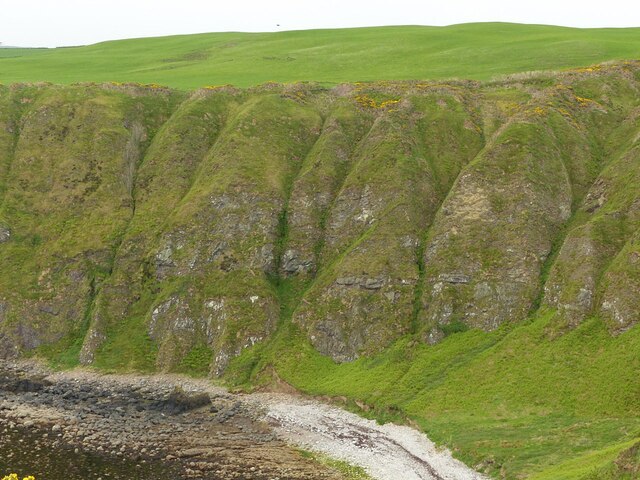
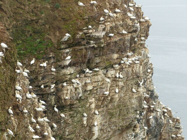
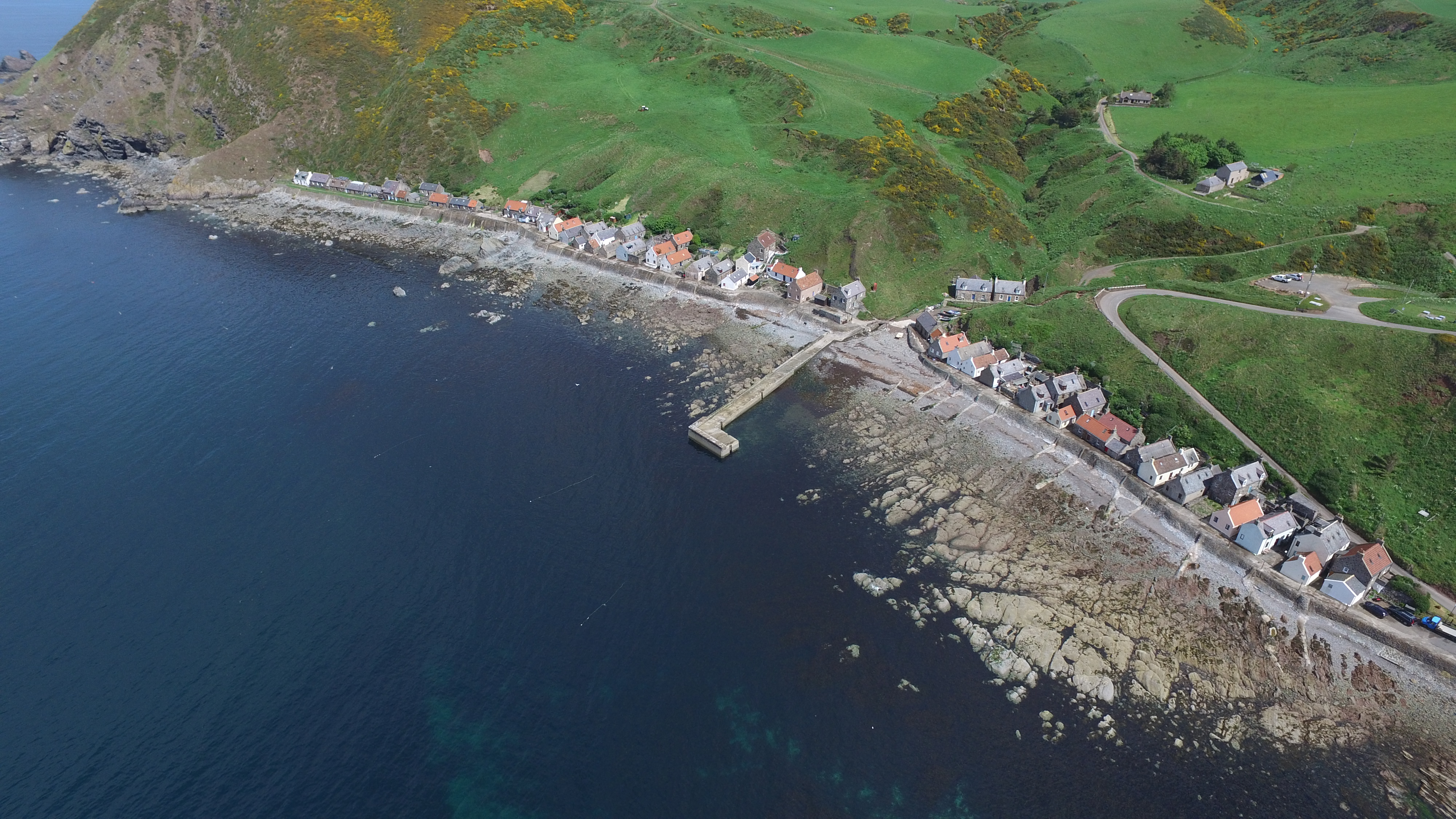
Skiddy Castle is a historic site located on a small island in Banffshire, Scotland. The castle is situated on the picturesque Skiddy Island, which lies just off the coast of Banff, a charming coastal town in northeastern Scotland.

The castle dates back to the 16th century and was originally built as a defensive structure during a period of clan warfare. It was constructed in a strategic location, overlooking the North Sea, to protect the surrounding area from potential invasions. Skiddy Castle is a prime example of Scottish tower-house architecture, characterized by its sturdy stone construction and small windows designed for defense.

The castle consists of a rectangular tower rising three stories high, with an additional attic level. The structure is surrounded by a protective wall, which encloses a small courtyard. The interior of the castle features a great hall, private chambers, and a spiral staircase leading to the upper levels. The castle's original defensive features, including arrow slits and gun loops, are still visible today.

Skiddy Castle is currently privately owned and not open to the public. However, its unique location and architectural significance make it a popular subject for photography and draw the attention of visitors exploring the area by boat or from the nearby coastline. Its historical importance and well-preserved structure make Skiddy Castle an intriguing testament to Scotland's rich history and turbulent past.

If you have any feedback on the listing, please let us know in the comments section below.

Skiddy Castle Images

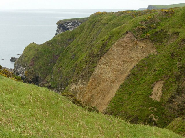
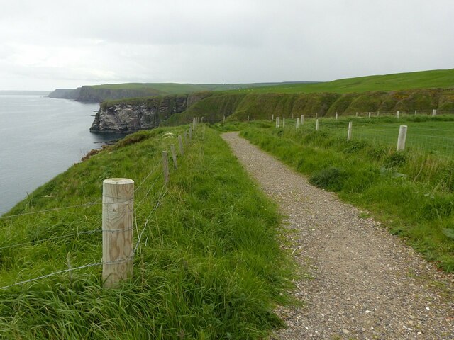
Images are sourced within 2km of 57.690841/-2.3182217 or Grid Reference NJ8166. Thanks to Geograph Open Source API. All images are credited.

Wheatear on Whins There were several of these perching on the fence posts and whins. Strictly speaking they are Northern Wheatear (Oenanthe oenanthe), and the Oxford English Dictionary confirms that name was originally derived from 'white arse' from the conspicuous white rump that is seen when the bird is in flight. However the OED does not confirm the story that the name was bowdlerised by prudish Victorians; as early as 1653 one J Taylor noted that "The name of Wheat ears, on them is ycleap'd, Because they come when wheat is yearly reap'd."
Wheatear on Whins
There were several of these perching on the fence posts and whins. Strictly speaking they are Northern Wheatear (Oenanthe oenanthe), and the Oxford English Dictionary confirms that name was originally derived from 'white arse' from the conspicuous white rump that is seen when the bird is in flight. However the OED does not confirm the story that the name was bowdlerised by prudish Victorians; as early as 1653 one J Taylor noted that "The name of Wheat ears, on them is ycleap'd, Because they come when wheat is yearly reap'd."
Yellowhammer (Emberiza citronella) Quite a common bird of fields and rough ground, sometimes also venturing into gardens. Its song is very distinctive,  said to sound like 'A little bit of bread and no CHEESE'.
Yellowhammer (Emberiza citronella)
Quite a common bird of fields and rough ground, sometimes also venturing into gardens. Its song is very distinctive, said to sound like 'A little bit of bread and no CHEESE'.
St Mark's Fly (Bibio marci)? Apparently they tend to emerge around 25 April, which is St Mark's Day. There were large numbers of them, all clinging to grass and other vegetation, perhaps because it was too cold for them to be flying. Thanks to Richard Sutcliffe for confirming the ID and telling me that's it's a male because it has large eyes.
St Mark's Fly (Bibio marci)?
Apparently they tend to emerge around 25 April, which is St Mark's Day. There were large numbers of them, all clinging to grass and other vegetation, perhaps because it was too cold for them to be flying. Thanks to Richard Sutcliffe for confirming the ID and telling me that's it's a male because it has large eyes.
Sea Camption (Silene uniflora) One of many clumps of Sea Camption on the top of the cliffs.
Sea Camption (Silene uniflora)
One of many clumps of Sea Camption on the top of the cliffs.
Northern Gannet (Morus bassanus) Formerly known as Sula bassana, the Solan Goose. Taken with a zoom lens from far enough away not to disturb the bird.
Northern Gannet (Morus bassanus)
Formerly known as Sula bassana, the Solan Goose. Taken with a zoom lens from far enough away not to disturb the bird.
Nesting Gannets Gannets first nested at Troup Head in 1988, and since then the colony has grown to over 2000 pairs. I note with interest that the RSPB no longer says it is the only mainland Gannet colony in Scotland - it is now, it seems, the largest Gannet colony in Scotland.
Nesting Gannets
Gannets first nested at Troup Head in 1988, and since then the colony has grown to over 2000 pairs. I note with interest that the RSPB no longer says it is the only mainland Gannet colony in Scotland - it is now, it seems, the largest Gannet colony in Scotland.
Gannet Wars We watched for several minutes while the two upper Gannets squabbled, pecking at one another and occasionally locking beaks in a tussle, presumably over whose nest site this is. The third bird looked on but took no part in the action.
Gannet Wars
We watched for several minutes while the two upper Gannets squabbled, pecking at one another and occasionally locking beaks in a tussle, presumably over whose nest site this is. The third bird looked on but took no part in the action.
Nesting gannet, Troup Head The nature of the cliff top means that it is possible to get remarkably close to the birds without either putting oneself in danger or upsetting the birds.
Nesting gannet, Troup Head
The nature of the cliff top means that it is possible to get remarkably close to the birds without either putting oneself in danger or upsetting the birds.
Portrait of a gannet, Troup Head The nature of the cliff top means that it is possible to get remarkably close to the birds without either putting oneself in danger or upsetting the birds.
Portrait of a gannet, Troup Head
The nature of the cliff top means that it is possible to get remarkably close to the birds without either putting oneself in danger or upsetting the birds.
Looking down on Crovie The area at the bottom is the only part of the village that can be reached by motor vehicles and is reserved for local residents' use. This is the view from the public car park higher up the cliff. A feature of the village is that every single building bar one is Listed. (The local pronunciation is – more or less – Crivvy)
Looking down on Crovie
The area at the bottom is the only part of the village that can be reached by motor vehicles and is reserved for local residents' use. This is the view from the public car park higher up the cliff. A feature of the village is that every single building bar one is Listed. (The local pronunciation is – more or less – Crivvy)
Ravels Den A deep-cut dene leading down to Downie Bay, probably the result of meltwater erosion at the end of the Ice Age.
Ravels Den
A deep-cut dene leading down to Downie Bay, probably the result of meltwater erosion at the end of the Ice Age.
Wheatears on a fence Alongside the footpath to Troup Head.
Wheatears on a fence
Alongside the footpath to Troup Head.
Wheatears on whin Alongside the footpath to Troup Head. (I would call this gorse, but whin is the native word!)
Wheatears on whin
Alongside the footpath to Troup Head. (I would call this gorse, but whin is the native word!)
Landslip in Ravels Den A deep-cut dene leading down to Downie Bay, probably the result of meltwater erosion at the end of the Ice Age. The slip shows the friable rock forming the upper stratum at this point.
Landslip in Ravels Den
A deep-cut dene leading down to Downie Bay, probably the result of meltwater erosion at the end of the Ice Age. The slip shows the friable rock forming the upper stratum at this point.
Singing his little heart out Yellowhammer on a fencepost alongside the path to Troup Head.
Singing his little heart out
Yellowhammer on a fencepost alongside the path to Troup Head.
The path to Troup Head The RSPB has significantly improved access since taking responsibility for the cliff top.
The path to Troup Head
The RSPB has significantly improved access since taking responsibility for the cliff top.
Cliffs at Downie Bay Showing sharp erosion probably due to glacial melt flows at the end of the Ice Age.
Cliffs at Downie Bay
Showing sharp erosion probably due to glacial melt flows at the end of the Ice Age.
Gannet nests, Hare's Nose Part of the RSPB Troup Head reserve. A careful look will show a handful of Kittiwake and Guillemot also nesting.
Gannet nests, Hare's Nose
Part of the RSPB Troup Head reserve. A careful look will show a handful of Kittiwake and Guillemot also nesting.
Show me another place!

Skiddy Castle is located at Grid Ref: NJ8166 (Lat: 57.690841, Lng: -2.3182217)

Unitary Authority: Aberdeenshire

Police Authority: North East

What 3 Words

///backhand.responds.suspended. Near Macduff, Aberdeenshire

Related Wikis

Crovie

Crovie is a small village in Aberdeenshire, Scotland, dating from the 18th century, a time when the sea was the only mode of transport to and from Scotland...

Gamrie Bay

Gamrie Bay is a bay in Aberdeenshire, Scotland. The bay is between Crovie Head and More Head. The villages of Gardenstown and Crovie are located within...

Gardenstown

Gardenstown (Scots: Gamrie) is a small coastal village, 8.7 miles (14.0 km) by road east of Banff in Aberdeenshire, northeastern Scotland. The village...

St John's Church, Gamrie

St John's Church is a ruined church and kirkyard in the parish of Gamrie, Aberdeenshire, Scotland. The church, dedicated to St John the Evangelist, was...

Nearby Amenities

Located within 500m of 57.690841,-2.3182217
Source: Old Landsat image trace
Lat/Long: 57.6904195/-2.3157091
Source: Old Landsat image trace
Lat/Long: 57.6915136/-2.3102309
Source: Old Landsat image trace
Lat/Long: 57.6899481/-2.3168785
Source: Old Landsat image trace
Lat/Long: 57.6893919/-2.3187829
Source: Old Landsat image trace
Lat/Long: 57.6911673/-2.313941
Source: Old Landsat image trace
Lat/Long: 57.6879123/-2.3232815
Source: Old Landsat image trace
Lat/Long: 57.6900089/-2.3178269
Source: Old Landsat image trace
Lat/Long: 57.688386/-2.3208417
Source: Old Landsat image trace
Lat/Long: 57.692165/-2.3112437
The data included in this document is from www.openstreetmap.org. The data is made available under ODbL.

Have you been to Skiddy Castle?

Leave your review of Skiddy Castle below (or comments, questions and feedback).