Skiddy Craig
Island in Banffshire
Scotland
Skiddy Craig
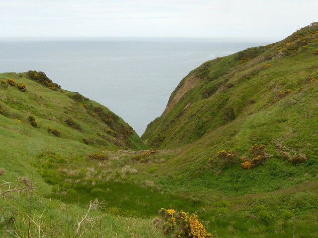
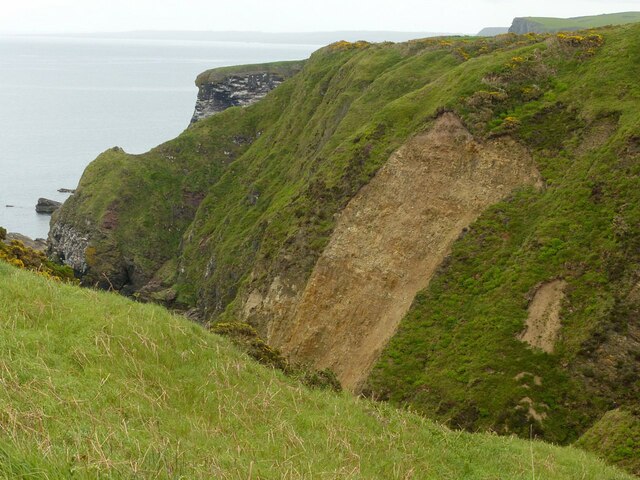
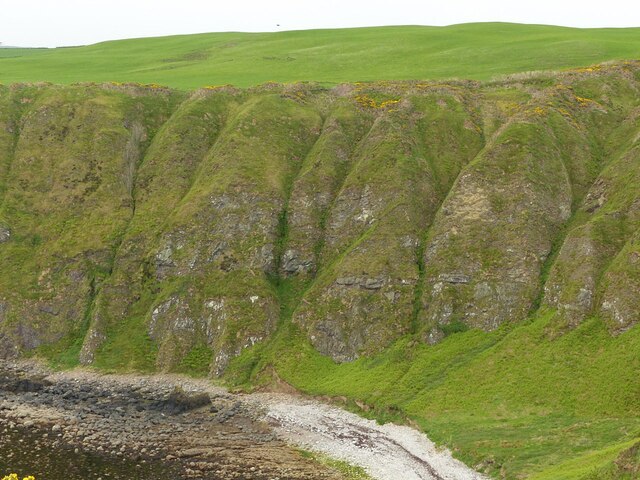
Skiddy Craig, located in Banffshire, is a small and picturesque island situated off the northeast coast of Scotland. This uninhabited island is positioned in the Moray Firth, near the mouth of the River Deveron. The island covers an area of approximately 0.5 hectares and is characterized by its rocky cliffs and rugged terrain.
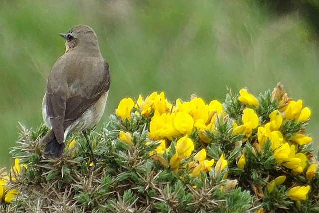
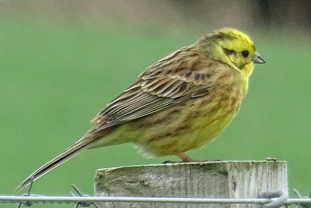
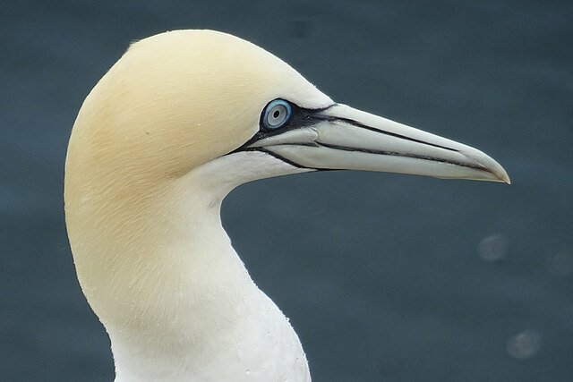
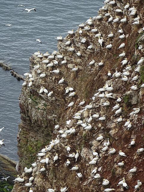
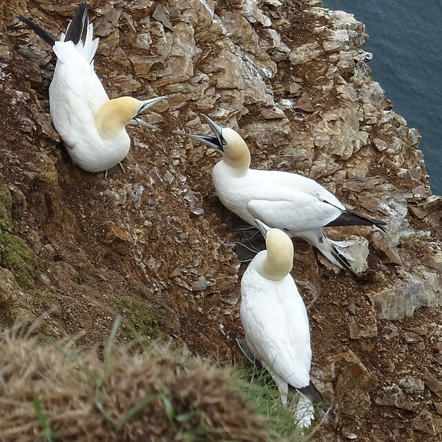
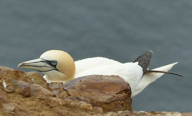
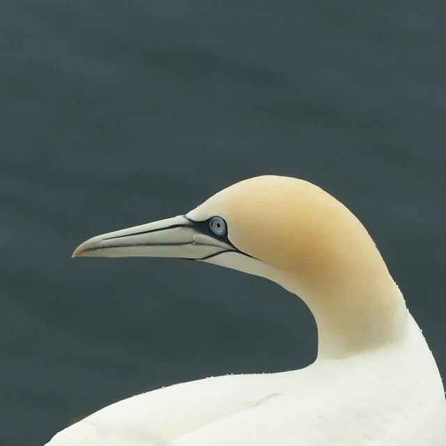
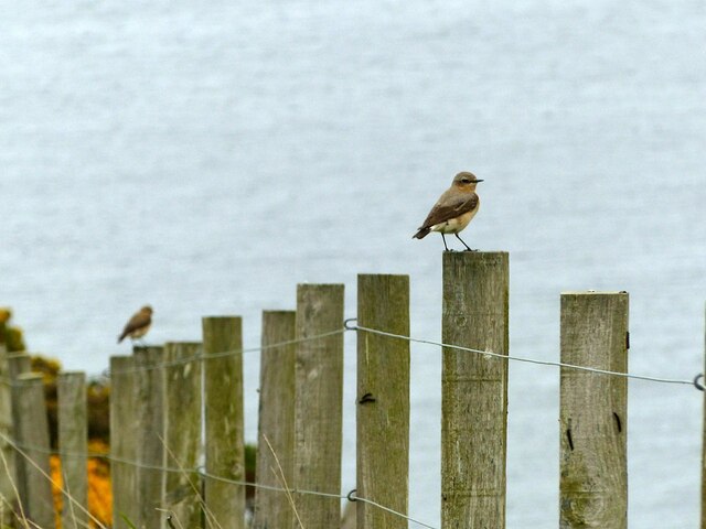
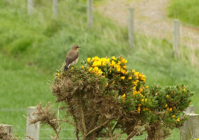
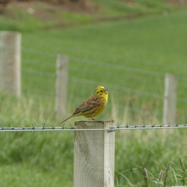
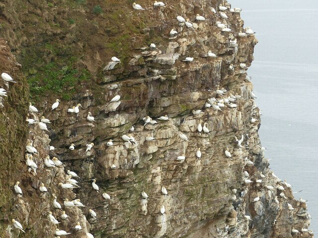
Skiddy Craig is renowned for its rich biodiversity and serves as an important habitat for various bird species. The coastal cliffs provide nesting sites for seabirds such as guillemots, razorbills, and fulmars. Visitors to the island can witness these beautiful birds in their natural habitat, making it a popular destination for birdwatching enthusiasts.
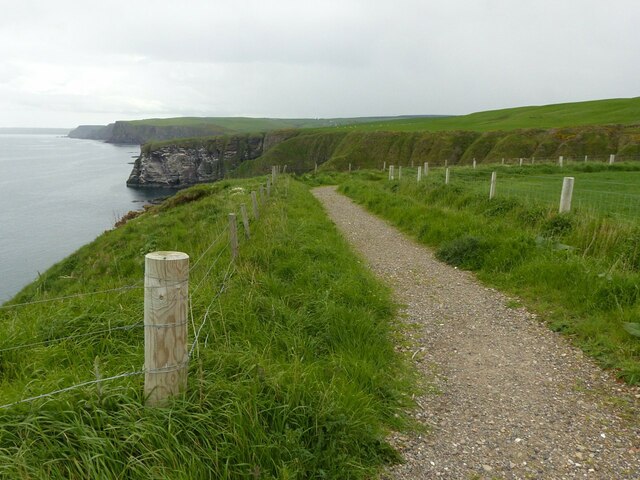
Access to Skiddy Craig is limited due to its isolated location and lack of infrastructure. However, it is possible to view the island from nearby coastal areas or take a boat trip to explore its rocky shores. The island's geological formations are also of interest to geologists and rock enthusiasts, showcasing unique rock formations and evidence of ancient volcanic activity.
Skiddy Craig is part of the wider Banffshire Coast, which is known for its stunning cliffs, sandy beaches, and rugged landscapes. Visitors to the area can enjoy coastal walks, explore nearby fishing villages, or simply take in the breathtaking views of the North Sea.
In summary, Skiddy Craig is a small uninhabited island off the coast of Banffshire, Scotland. With its diverse birdlife, geological formations, and stunning coastal scenery, it offers a unique experience for nature lovers and outdoor enthusiasts.
If you have any feedback on the listing, please let us know in the comments section below.
Skiddy Craig Images
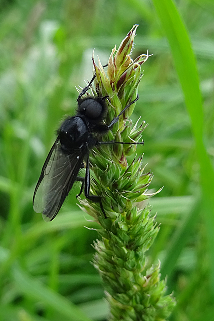
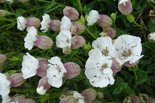
Images are sourced within 2km of 57.691568/-2.3184126 or Grid Reference NJ8166. Thanks to Geograph Open Source API. All images are credited.

Skiddy Craig is located at Grid Ref: NJ8166 (Lat: 57.691568, Lng: -2.3184126)
Unitary Authority: Aberdeenshire
Police Authority: North East
What 3 Words
///slowness.bulletins.rules. Near Macduff, Aberdeenshire
Nearby Locations
Related Wikis
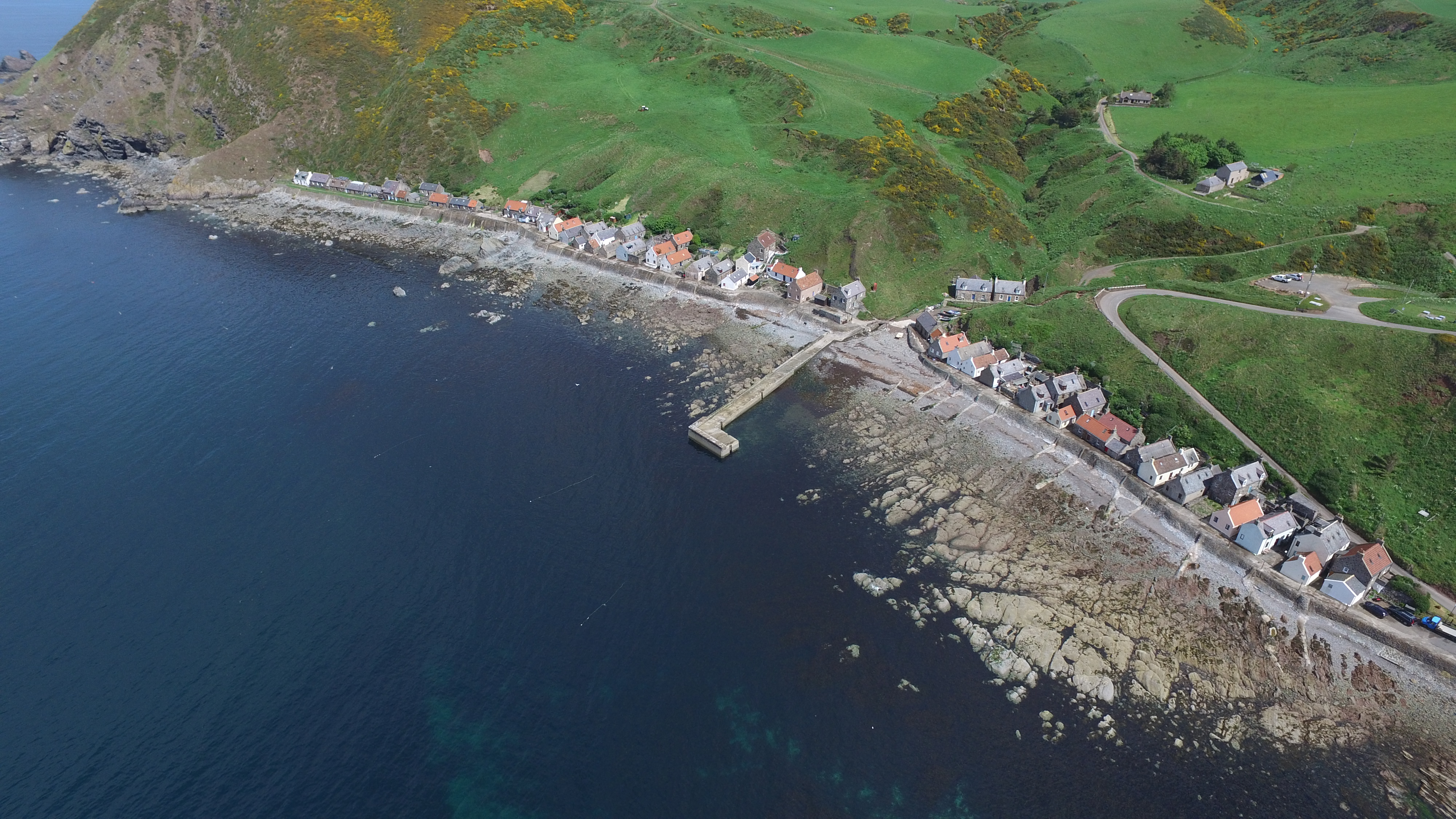
Crovie
Crovie is a small village in Aberdeenshire, Scotland, dating from the 18th century, a time when the sea was the only mode of transport to and from Scotland...

Gamrie Bay
Gamrie Bay is a bay in Aberdeenshire, Scotland. The bay is between Crovie Head and More Head. The villages of Gardenstown and Crovie are located within...

Gardenstown
Gardenstown (Scots: Gamrie) is a small coastal village, 8.7 miles (14.0 km) by road east of Banff in Aberdeenshire, northeastern Scotland. The village...

St John's Church, Gamrie
St John's Church is a ruined church and kirkyard in the parish of Gamrie, Aberdeenshire, Scotland. The church, dedicated to St John the Evangelist, was...
Nearby Amenities
Located within 500m of 57.691568,-2.3184126Have you been to Skiddy Craig?
Leave your review of Skiddy Craig below (or comments, questions and feedback).