Palmercove Rocks
Island in Banffshire
Scotland
Palmercove Rocks

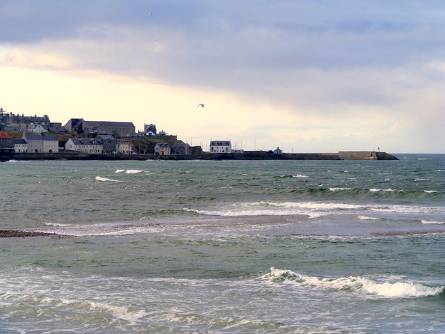
Palmercove Rocks is a picturesque island located off the coast of Banffshire in Scotland. Situated in the North Sea, this small but captivating island is a haven for nature enthusiasts and avid birdwatchers alike. With its rugged cliffs, pristine beaches, and diverse wildlife, Palmercove Rocks offers a unique experience for visitors.
The island is known for its dramatic landscapes, characterized by towering sea cliffs that provide breathtaking views of the surrounding waters. These cliffs are home to an array of seabirds, including puffins, guillemots, and razorbills, making it an ideal destination for birdwatching enthusiasts. The island's location also attracts various migratory birds, adding to its rich avian diversity.
Palmercove Rocks is also renowned for its secluded beaches, offering visitors a chance to relax and unwind in a tranquil setting. The pristine sandy shores and crystal-clear waters provide an idyllic spot for picnicking, sunbathing, or exploring the marine life through snorkeling or diving.
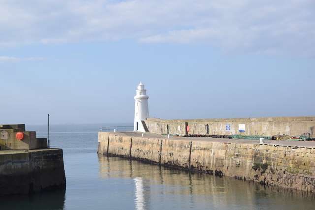
While the island is primarily a nature reserve, it does have a small lighthouse that adds to its charm. The lighthouse serves as a navigational aid for ships passing through the area and provides a striking focal point against the island's rugged backdrop.
Access to Palmercove Rocks is limited, as it is only accessible by boat. However, several local tour operators offer guided trips to the island, providing visitors with an opportunity to explore its natural beauty and learn about its rich history.
Overall, Palmercove Rocks is a captivating island that showcases Scotland's stunning coastal landscapes and abundant wildlife. Its untouched beauty and tranquility make it a must-visit destination for nature lovers seeking an off-the-beaten-path experience in Banffshire.
If you have any feedback on the listing, please let us know in the comments section below.
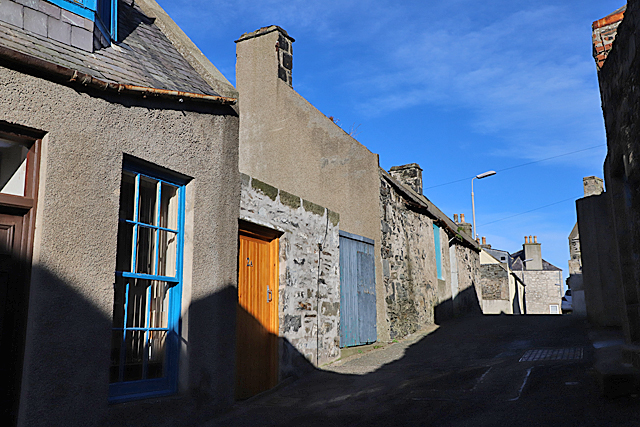
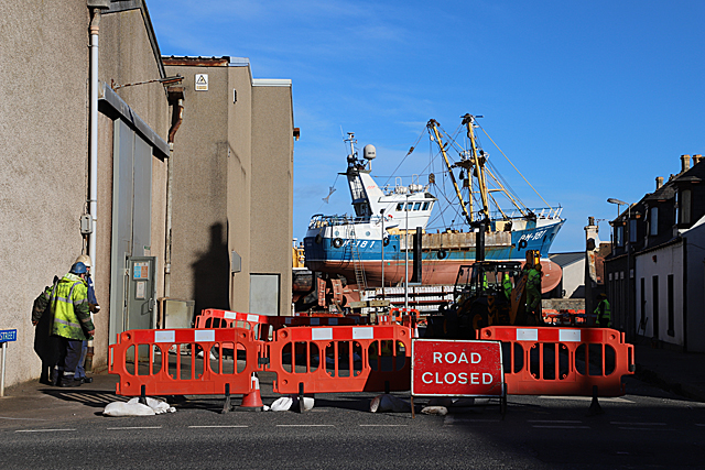
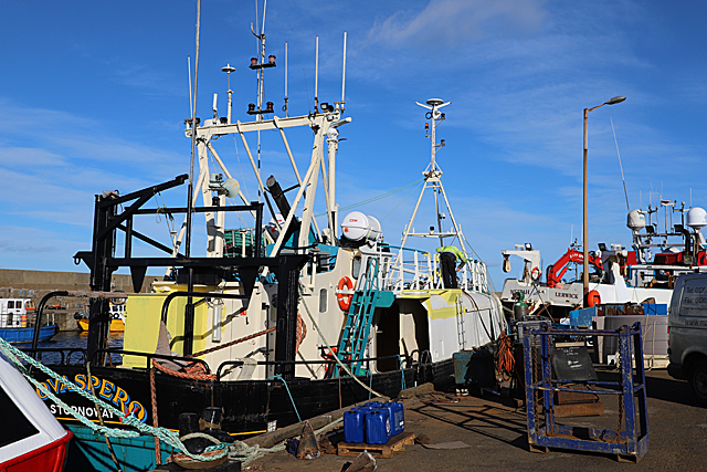
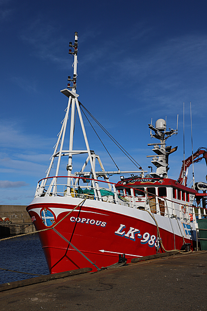
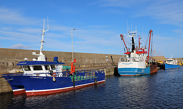
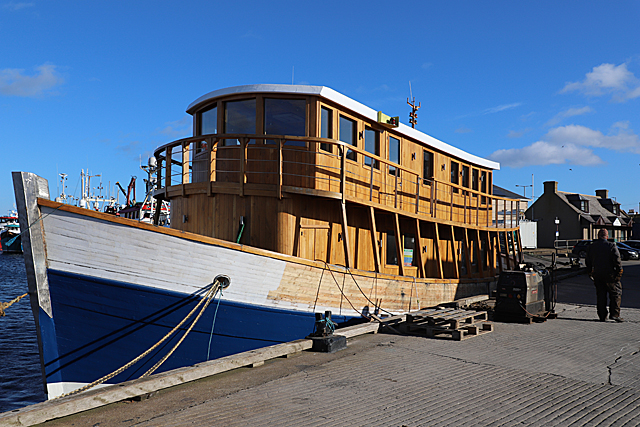
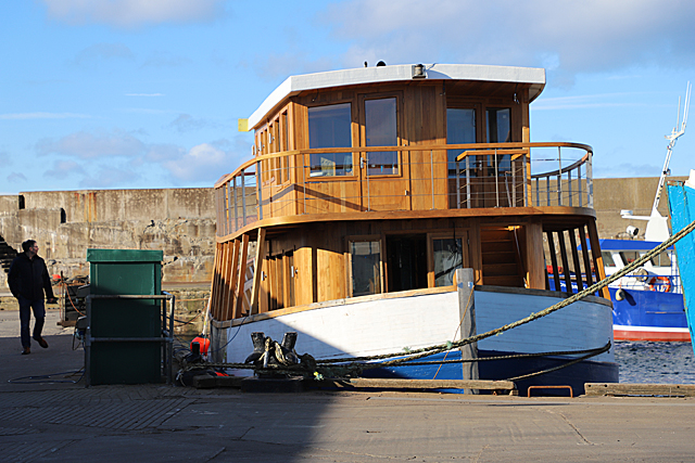
Palmercove Rocks Images
Images are sourced within 2km of 57.665947/-2.5087686 or Grid Reference NJ6964. Thanks to Geograph Open Source API. All images are credited.


Palmercove Rocks is located at Grid Ref: NJ6964 (Lat: 57.665947, Lng: -2.5087686)
Unitary Authority: Aberdeenshire
Police Authority: North East
What 3 Words
///recital.indicates.stalemate. Near Macduff, Aberdeenshire
Nearby Locations
Related Wikis

Macduff railway station
Macduff railway station was a railway station serving the settlements of Banff and Macduff, Aberdeenshire, Scotland. It was the terminus of a branch line...
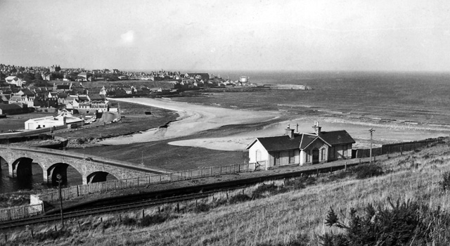
Banff Bridge railway station
Banff Bridge railway station was a railway station in Banff Bridge, Banff, Aberdeenshire. It was the penultimate stop on a branch line from Inveramsay...
Banff Bay
Banff Bay (Scottish Gaelic: Bàgh Bhanbh) is a coastal embayment in Scotland situated between the towns of Banff, Aberdeenshire and Macduff, Aberdeenshire...

River Deveron
The River Deveron (Scottish Gaelic: Uisge Dubh Èireann) is a river in the north east of Scotland. The river has a length of 60 miles (97 km), and has a...

Princess Royal Park
Princess Royal Park is a football ground in the town of Banff in the north-east of Scotland, which is the home ground of Highland Football League side...

Macduff Town Hall
Macduff Town Hall is a municipal building in Shore Street, Macduff, Aberdeenshire, Scotland. The structure, which was the meeting place of Macduff Burgh...

Banff Town House
Banff Town House is a municipal building in Low Street, Banff, Aberdeenshire, Scotland. The building, which is used as a customer service point and job...
Banff Castle
Banff Castle is a ruined former royal castle near Banff, Aberdeenshire, Scotland. == History == Built as a motte and bailey castle in the 12th century...
Nearby Amenities
Located within 500m of 57.665947,-2.5087686Have you been to Palmercove Rocks?
Leave your review of Palmercove Rocks below (or comments, questions and feedback).