Broad Craig

Island in Banffshire

Scotland

Broad Craig

Stagecoach Bluebird Macduff Bus Depot
Stagecoach Bluebird Macduff Bus Depot Credit: Jay T

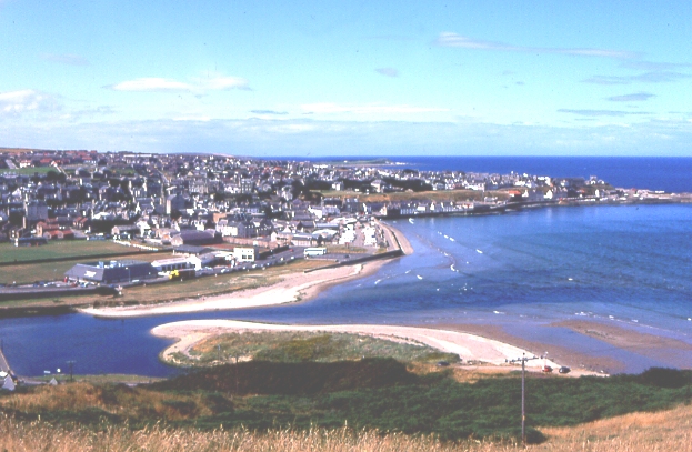
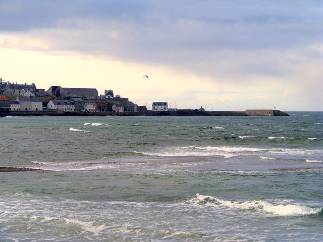
Broad Craig is a small island located off the northeastern coast of Scotland, in the county of Banffshire. Situated in the North Sea, it is part of the larger group of islands known as the Scottish Isles. With a total land area of approximately 0.5 hectares, Broad Craig is a relatively small and rocky island.

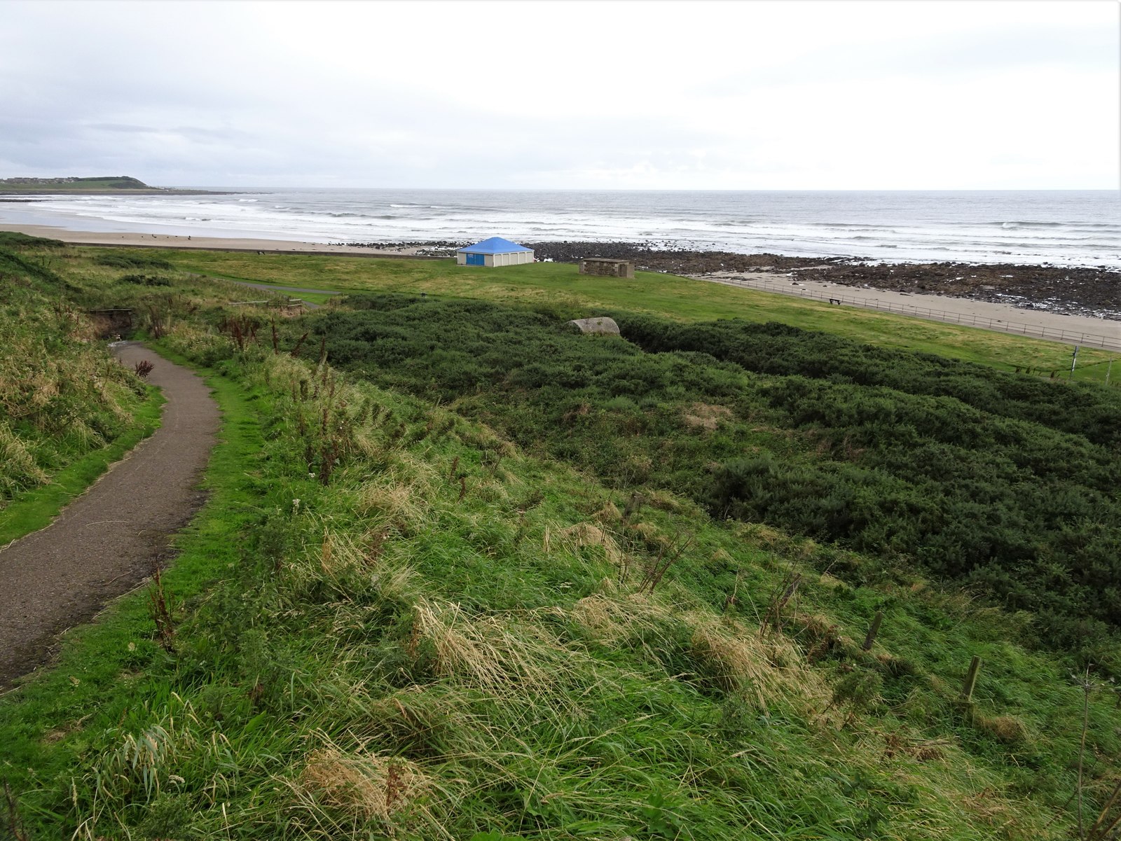
The island is characterized by its rugged terrain, consisting of large cliffs that drop steeply into the sea. It is mostly uninhabited, with no permanent human population. However, it is home to a variety of seabirds, including guillemots, puffins, and razorbills, which nest on the cliffs.

Access to Broad Craig is challenging, as there are no regular transportation services to the island. It can only be reached by private boat or by participating in organized bird-watching trips, which provide limited access to the island during specific times of the year.

The island's isolation and natural beauty make it a popular destination for bird enthusiasts and nature lovers. Visitors are drawn to Broad Craig to observe the diverse birdlife and to experience the serene and untouched landscape. However, due to its delicate ecosystem, visitors are encouraged to follow strict guidelines to preserve the island's wildlife and environment.

In conclusion, Broad Craig is a small, rocky island off the coast of Banffshire, Scotland. It is known for its rugged cliffs, diverse bird population, and limited accessibility, making it an appealing destination for nature enthusiasts seeking a unique and remote experience.

If you have any feedback on the listing, please let us know in the comments section below.
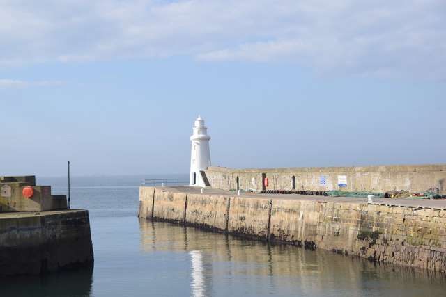
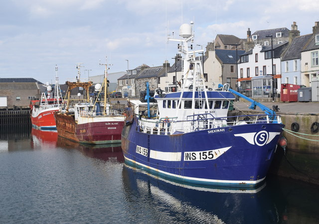
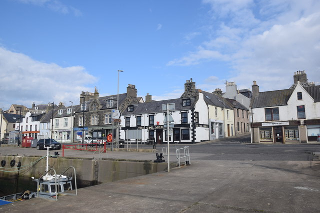
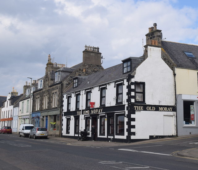
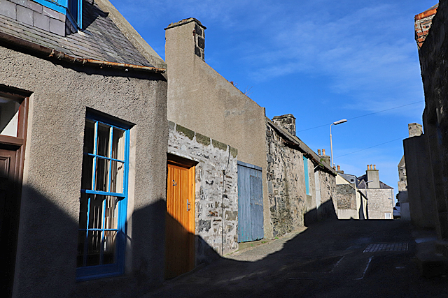
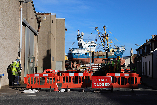
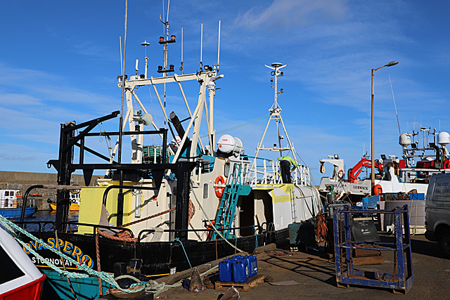
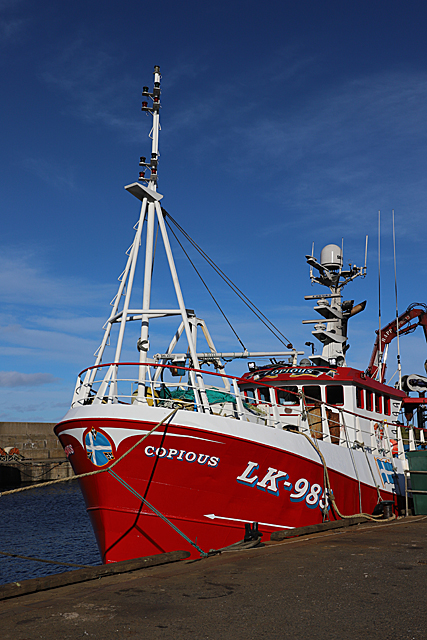
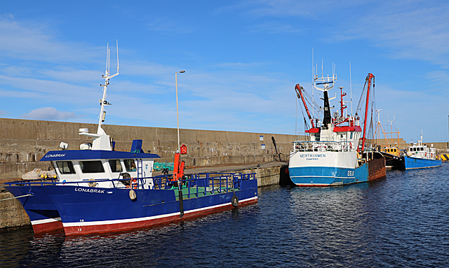
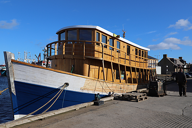
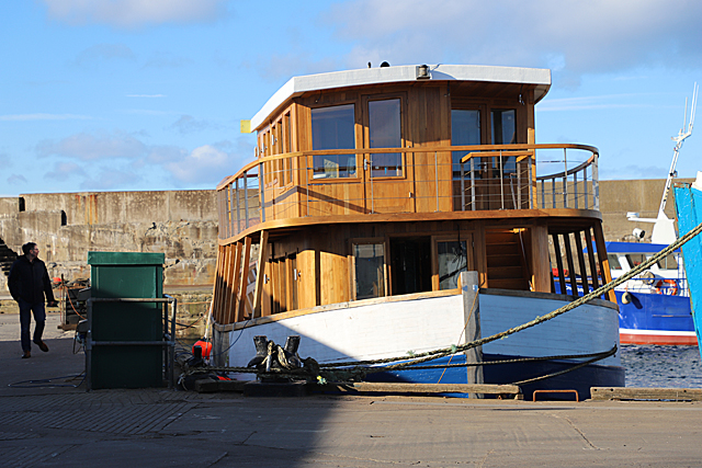
Broad Craig Images

Images are sourced within 2km of 57.671765/-2.5271569 or Grid Reference NJ6864. Thanks to Geograph Open Source API. All images are credited.

Stagecoach Bluebird Macduff Bus Depot
Macduff: a view over the harbour Looking over the harbour from the grassy hilltop to the south, where an anchor is ... anchored, by the <a href="https://www.geograph.org.uk/photo/451242">NJ7064 : Macduff: parish church</a>.
Macduff: a view over the harbour
Looking over the harbour from the grassy hilltop to the south, where an anchor is ... anchored, by the NJ7064 : Macduff: parish church.
View towards Macduff from Banff beach Macduff parish kirk is prominent on the hill with the unusual war memorial tower to the right.
View towards Macduff from Banff beach
Macduff parish kirk is prominent on the hill with the unusual war memorial tower to the right.
Macduff parish kirk Built 1805 (remodelled 1865) on a dramatic hilltop site overlooking Macduff harbour.  B-listed (LB37616): <span class="nowrap"><a title="http://portal.historicenvironment.scot/designation/LB37616" rel="nofollow ugc noopener" href="http://portal.historicenvironment.scot/designation/LB37616">Link</a><img style="margin-left:2px;" alt="External link" title="External link - shift click to open in new window" src="https://s1.geograph.org.uk/img/external.png" width="10" height="10"/></span> .
Macduff parish kirk
Built 1805 (remodelled 1865) on a dramatic hilltop site overlooking Macduff harbour. B-listed (LB37616): LinkExternal link .
Macduff war memorial An unusual and striking war memorial tower erected in 1920 and B-listed (LB37681):  <span class="nowrap"><a title="http://portal.historicenvironment.scot/designation/LB37631" rel="nofollow ugc noopener" href="http://portal.historicenvironment.scot/designation/LB37631">Link</a><img style="margin-left:2px;" alt="External link" title="External link - shift click to open in new window" src="https://s1.geograph.org.uk/img/external.png" width="10" height="10"/></span> .
Macduff war memorial
An unusual and striking war memorial tower erected in 1920 and B-listed (LB37681): LinkExternal link .
View of Macduff harbour from Church Street
Macduff town hall, 17 Shore Street The Scottish baronial town hall facing the harbour was designed by Aberdeen architects Pirie and Clyne in 1884 and is B-listed (LB37634): <span class="nowrap"><a title="http://portal.historicenvironment.scot/designation/LB37634" rel="nofollow ugc noopener" href="http://portal.historicenvironment.scot/designation/LB37634">Link</a><img style="margin-left:2px;" alt="External link" title="External link - shift click to open in new window" src="https://s1.geograph.org.uk/img/external.png" width="10" height="10"/></span> . Next door is the former Clydesdale Bank and agent's house, also B-listed (LB37635): <span class="nowrap"><a title="http://portal.historicenvironment.scot/designation/LB37635" rel="nofollow ugc noopener" href="http://portal.historicenvironment.scot/designation/LB37635">Link</a><img style="margin-left:2px;" alt="External link" title="External link - shift click to open in new window" src="https://s1.geograph.org.uk/img/external.png" width="10" height="10"/></span> .
Macduff town hall, 17 Shore Street
The Scottish baronial town hall facing the harbour was designed by Aberdeen architects Pirie and Clyne in 1884 and is B-listed (LB37634): LinkExternal link . Next door is the former Clydesdale Bank and agent's house, also B-listed (LB37635): LinkExternal link .
Macduff harbour entrance and lighthouse The lighthouse dates from 1903 (Canmore record 81477: <span class="nowrap"><a title="https://canmore.org.uk/site/81447/macduff-harbour-entrance-lighthouse" rel="nofollow ugc noopener" href="https://canmore.org.uk/site/81447/macduff-harbour-entrance-lighthouse">Link</a><img style="margin-left:2px;" alt="External link" title="External link - shift click to open in new window" src="https://s1.geograph.org.uk/img/external.png" width="10" height="10"/></span> ).
Macduff harbour entrance and lighthouse
The lighthouse dates from 1903 (Canmore record 81477: LinkExternal link ).
Macduff harbour The harbour at Macduff, with its ocean-going trawlers, has a totally different feel to the gentrified Banff marina on the other side of the River Deveron estuary.  Here we see the smartly turned out Shekinah (registered to INV = Inverness) and the Reliance II (BF = Banff) sandwiching a rather rusty visitor from afar; the Glen Alvah from BM = Brixham (Devon).
Macduff harbour
The harbour at Macduff, with its ocean-going trawlers, has a totally different feel to the gentrified Banff marina on the other side of the River Deveron estuary. Here we see the smartly turned out Shekinah (registered to INV = Inverness) and the Reliance II (BF = Banff) sandwiching a rather rusty visitor from afar; the Glen Alvah from BM = Brixham (Devon).
Harbourside buildings, Macduff Most prominent is the Old Moray Inn.
Harbourside buildings, Macduff
Most prominent is the Old Moray Inn.
The Old Moray Inn, Macduff Next door is a chandler and the harbour master's office.
The Old Moray Inn, Macduff
Next door is a chandler and the harbour master's office.
School Lane School Lane climbs in both direction from its intersection with Duff Street. This is looking up the eastern part of it from near the corner of Duff Street.
School Lane
School Lane climbs in both direction from its intersection with Duff Street. This is looking up the eastern part of it from near the corner of Duff Street.
Road Closed As this is the signposted route to the Macduff Marine Aquarium, and no diversion is signposted, I have to hope that there have not been too many baffled visitors recently.
Road Closed
As this is the signposted route to the Macduff Marine Aquarium, and no diversion is signposted, I have to hope that there have not been too many baffled visitors recently.
Nova Spero 'Nova Spero', registered in Stornoway, is in Macduff for maintenance and a fresh coat of paint.
Nova Spero
'Nova Spero', registered in Stornoway, is in Macduff for maintenance and a fresh coat of paint.
Copious This Lerwick boat is looking very smart. Note the blue and white Shetland flag on the bow.
Copious
This Lerwick boat is looking very smart. Note the blue and white Shetland flag on the bow.
Boats in Macduff Harbour The grapevine tells me that 'Vertrouwen' is on the market, her licence and quota having been transferred to a new larger boat.
Boats in Macduff Harbour
The grapevine tells me that 'Vertrouwen' is on the market, her licence and quota having been transferred to a new larger boat.
'Highland Lassie' This is the former 'Frigate Bird' with only the hull and engine left from her days as a fishing boat. The new superstructure is of oak felled by a gale near Inverness, and was built in Inverness. She will have cabins on the top deck and in the fish hold, and will be moored at Dochgarroch on the Caledonian Canal at the north end of Loch Ness as additional accommodation for the hotel there. She will also be available for charter. 

See <span class="nowrap"><a title="https://www.pressandjournal.co.uk/fp/news/highlands/1651723/floating-hotel-takes-first-voyage-in-preparation-for-opening/" rel="nofollow ugc noopener" href="https://www.pressandjournal.co.uk/fp/news/highlands/1651723/floating-hotel-takes-first-voyage-in-preparation-for-opening/">Link</a><img style="margin-left:2px;" alt="External link" title="External link - shift click to open in new window" src="https://s1.geograph.org.uk/img/external.png" width="10" height="10"/></span>
'Highland Lassie'
This is the former 'Frigate Bird' with only the hull and engine left from her days as a fishing boat. The new superstructure is of oak felled by a gale near Inverness, and was built in Inverness. She will have cabins on the top deck and in the fish hold, and will be moored at Dochgarroch on the Caledonian Canal at the north end of Loch Ness as additional accommodation for the hotel there. She will also be available for charter. See LinkExternal link
'Highland Lassie' Someone commented that from this angle, she looks like Noah's Ark! See <a href="https://www.geograph.org.uk/photo/6063761">NJ7064 : 'Highland Lassie'</a>.
'Highland Lassie'
Someone commented that from this angle, she looks like Noah's Ark! See NJ7064 : 'Highland Lassie'.
Show me another place!

Broad Craig is located at Grid Ref: NJ6864 (Lat: 57.671765, Lng: -2.5271569)

Unitary Authority: Aberdeenshire

Police Authority: North East

What 3 Words

///quintet.shipwreck.oaks. Near Banff, Aberdeenshire

Related Wikis

Banff railway station (Scotland)

Banff railway station was the railway station serving the town of Banff, Banffshire. == History == The line from Tillynaught opened in 1859 and a temporary...

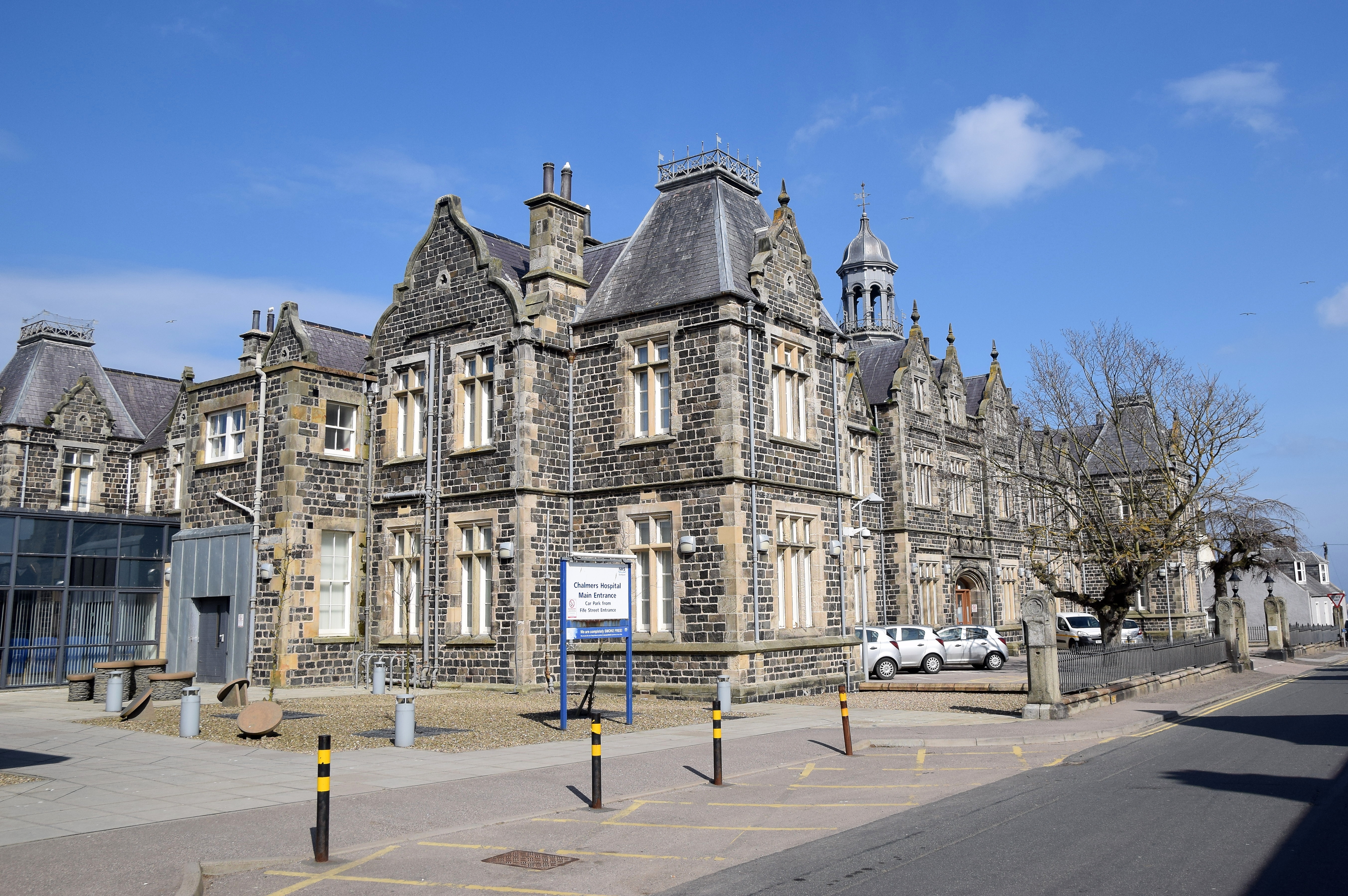
Chalmers Hospital, Banff

Chalmers Hospital is an NHS general hospital located in Banff, Scotland, a small coastal town around 46.5 miles north west of Aberdeen. The hospital is...

Banff, Aberdeenshire

Banff (Scottish Gaelic: Banbh) is a town in the Banff and Buchan area of Aberdeenshire, Scotland. It is situated on Banff Bay and faces the town of Macduff...

Banff Castle

Banff Castle is a ruined former royal castle near Banff, Aberdeenshire, Scotland. == History == Built as a motte and bailey castle in the 12th century...

Golf Club House Halt railway station

Golf Club House Halt railway station, also known as Banff Golf House Halt railway station was opened in 1914. The halt was located close to the town of...

Banff Bay

Banff Bay (Scottish Gaelic: Bàgh Bhanbh) is a coastal embayment in Scotland situated between the towns of Banff, Aberdeenshire and Macduff, Aberdeenshire...

River Deveron

The River Deveron (Scottish Gaelic: Uisge Dubh Èireann) is a river in the north east of Scotland. The river has a length of 60 miles (97 km), and has a...

Banff Town House

Banff Town House is a municipal building in Low Street, Banff, Aberdeenshire, Scotland. The building, which is used as a customer service point and job...

Nearby Amenities

Located within 500m of 57.671765,-2.5271569
Pub
Railway Inn
Brewery: McEwan's
Lat/Long: 57.6694319/-2.5237766
Bicycle Parking
Bicycle Parking: stands
Capacity: 4
Covered: no
Lat/Long: 57.669986/-2.523344
Man Made: lighthouse
Seamark Light Character: LFl
Seamark Light Colour: white
Seamark Light Exhibition: 24h
Seamark Light Visibility: unintensified
Seamark Type: light_minor
Lat/Long: 57.6705597/-2.5209698
Seamark Light Category: lower
Seamark Light Character: LFl
Seamark Light Colour: red
Seamark Type: light_minor
Lat/Long: 57.6709667/-2.523
Seamark Light Category: upper
Seamark Light Character: Fl
Seamark Light Colour: red
Seamark Type: light_minor
Lat/Long: 57.6711333/-2.5238167
Post Box
Post Box Type: wall
Ref: AB45 6D
Royal Cypher: scottish_crown
Lat/Long: 57.6695003/-2.5318898
Bus Stop
Fife Street
Bus: yes
Naptan AtcoCode: 630021771
Naptan Bearing: E
Naptan CommonName: Fife Street
Naptan Indicator: at
Naptan Landmark: Fife Street
Naptan NaptanCode: 23627893
Naptan Street: St Catherine Street
Naptan Verified: no
Public Transport: platform
Ref: 23627893
Lat/Long: 57.6678043/-2.5260626
Bus Stop
Fife Street
Bus: yes
Naptan AtcoCode: 630021772
Naptan Bearing: W
Naptan CommonName: Fife Street
Naptan Indicator: opp
Naptan Landmark: St Catherine Street
Naptan NaptanCode: 23627892
Naptan Street: St Catherine Street
Naptan Verified: no
Public Transport: platform
Ref: 23627892
Lat/Long: 57.6678429/-2.5273664
Bench
Lat/Long: 57.6686683/-2.5225371
Bench
Backrest: yes
Lat/Long: 57.6709089/-2.5232519
Bench
Backrest: yes
Lat/Long: 57.6708432/-2.5233874
Bench
Backrest: yes
Lat/Long: 57.6708063/-2.523492
Bench
Backrest: yes
Lat/Long: 57.6702942/-2.524239
Bench
Backrest: yes
Lat/Long: 57.6704398/-2.5243194
Bench
Backrest: yes
Lat/Long: 57.6705542/-2.5245628
Bench
Backrest: yes
Lat/Long: 57.6705447/-2.5248774
Bicycle Parking
Capacity: 2
Lat/Long: 57.6711255/-2.5247285
Bench
Backrest: yes
Lat/Long: 57.6709175/-2.5250289
Bench
Backrest: yes
Lat/Long: 57.6709146/-2.5254419
Bench
Backrest: yes
Lat/Long: 57.6698005/-2.5307864
Bench
Backrest: yes
Lat/Long: 57.6697492/-2.5311672
Bench
Backrest: yes
Lat/Long: 57.6696843/-2.5316578
Bench
Backrest: yes
Lat/Long: 57.6696868/-2.5321507
Bench
Backrest: yes
Lat/Long: 57.669718/-2.5326669
Bench
Backrest: yes
Lat/Long: 57.6697705/-2.5335943
Disused Amenity: shower
Lat/Long: 57.6708873/-2.5234182
Generator Output Electricity: yes
Generator Source: solar
Generator Type: solar_photovoltaic_panel
Location: roof
Power: generator
Lat/Long: 57.6683689/-2.5271753
Generator Output Electricity: yes
Generator Source: solar
Generator Type: solar_photovoltaic_panel
Location: roof
Power: generator
Lat/Long: 57.6699725/-2.5288189
Generator Output Electricity: yes
Generator Source: solar
Generator Type: solar_photovoltaic_panel
Location: roof
Power: generator
Lat/Long: 57.6699809/-2.5286398
Generator Output Electricity: yes
Generator Source: solar
Generator Type: solar_photovoltaic_panel
Location: roof
Power: generator
Lat/Long: 57.6695907/-2.5261205
Generator Output Electricity: yes
Generator Source: solar
Generator Type: solar_photovoltaic_panel
Location: roof
Power: generator
Lat/Long: 57.669511/-2.5261487
Banff
Historic Railway: station
Railway: site
Wikidata: Q15196486
Wikipedia: en:Banff railway station (Scotland)
Lat/Long: 57.6706404/-2.5253632
Recycling
Recycling Glass Bottles: yes
Lat/Long: 57.6697613/-2.5302668
Waste Basket
Lat/Long: 57.6697539/-2.5303114
Bus Stop
Wood Street
Bus: yes
Naptan AtcoCode: 630021392
Naptan Bearing: E
Naptan CommonName: Wood Street
Naptan Indicator: at
Naptan Landmark: Wood Street
Naptan NaptanCode: 23624347
Naptan Street: St Catherine Street
Naptan Verified: no
Public Transport: platform
Ref: 23624347
Lat/Long: 57.6681027/-2.5310195
Bus Stop
Wood Street
Bus: yes
Naptan AtcoCode: 630021391
Naptan Bearing: W
Naptan CommonName: Wood Street
Naptan Indicator: opp
Naptan Landmark: Wood Street
Naptan NaptanCode: 23624345
Naptan Street: St Catherine Street
Naptan Verified: no
Public Transport: platform
Ref: 23624345
Lat/Long: 57.6680294/-2.5311715
Bus Stop
Chalmers Hospital
Bus: yes
Naptan AtcoCode: 630021363
Naptan Bearing: W
Naptan CommonName: Chalmers Hospital
Naptan Indicator: W-bound
Naptan Landmark: Chalmers Hospital
Naptan NaptanCode: 23629897
Naptan Street: Clunie Street
Naptan Verified: no
Public Transport: platform
Ref: 23629897
Lat/Long: 57.66866/-2.5255084
Bus Stop
Chalmers Hospital
Bench: no
Bin: no
Bus: yes
Lit: yes
Naptan AtcoCode: 630021362
Naptan Bearing: N
Naptan CommonName: Chalmers Hospital
Naptan Indicator: N bound
Naptan Landmark: Chalmers Hospital
Naptan NaptanCode: 23624374
Naptan Street: North Castle Street
Naptan Verified: no
Passenger Information Display: no
Public Transport: platform
Ref: 23624374
Shelter: no
Tactile Paving: no
Lat/Long: 57.6684263/-2.5238327
Bus Stop
Chalmers Hospital
Bus: yes
Naptan AtcoCode: 630021361
Naptan Bearing: E
Naptan CommonName: Chalmers Hospital
Naptan Indicator: E bound
Naptan Landmark: Chalmers Hospital
Naptan NaptanCode: 23624369
Naptan Street: Clunie Street
Naptan Verified: no
Public Transport: platform
Ref: 23624369
Lat/Long: 57.668758/-2.5251194
Man Made: tower
Tower Type: firefighter_training
Lat/Long: 57.6673306/-2.5264364
The data included in this document is from www.openstreetmap.org. The data is made available under ODbL.

Have you been to Broad Craig?

Leave your review of Broad Craig below (or comments, questions and feedback).