Black Rock
Island in Gloucestershire Forest of Dean
England
Black Rock
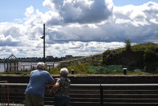
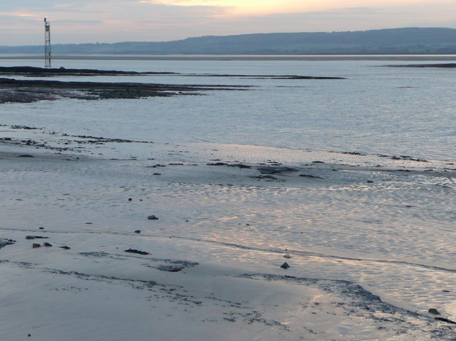
Black Rock is a small island located off the coast of Gloucestershire, England. Situated in the Bristol Channel, it is a rocky outcrop known for its unique geological formations and diverse wildlife. The island is accessible by boat and is a popular destination for nature enthusiasts and birdwatchers.
Covering an area of approximately 2 hectares, Black Rock is primarily composed of volcanic rock, which has eroded over time to form dramatic cliffs and caves. These geological features attract a variety of seabirds, including guillemots, razorbills, and puffins, making it a haven for birdwatching enthusiasts.
The island is also home to a small population of grey seals, who can often be spotted lounging on the rocky shores or swimming in the surrounding waters. Conservation efforts have been undertaken to protect the seal colony and their breeding grounds on Black Rock.
Due to its remote location and rugged terrain, Black Rock does not have any permanent human residents. However, it is occasionally visited by researchers, geologists, and bird experts who come to study the island's unique geological features and observe its diverse wildlife.
Black Rock offers a tranquil escape from the mainland, providing visitors with an opportunity to connect with nature and explore its stunning landscape. The island's isolation and natural beauty make it a cherished destination for those seeking a serene and untouched environment.
If you have any feedback on the listing, please let us know in the comments section below.
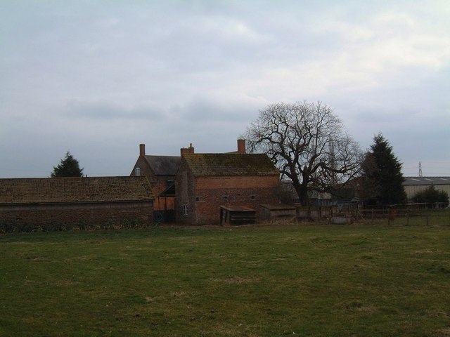
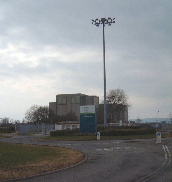
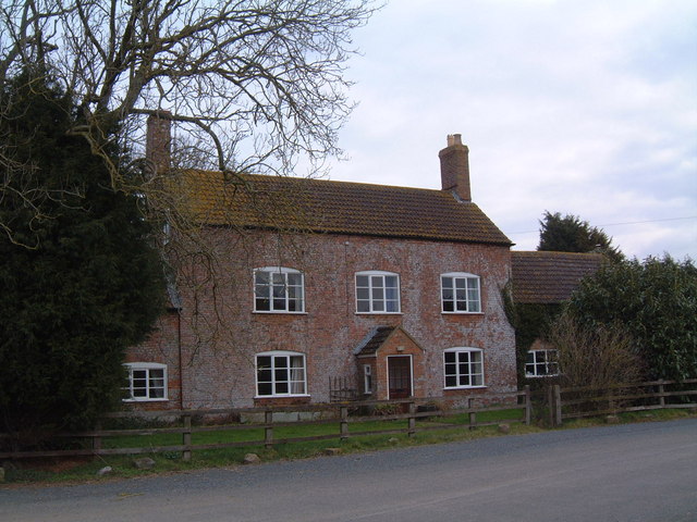
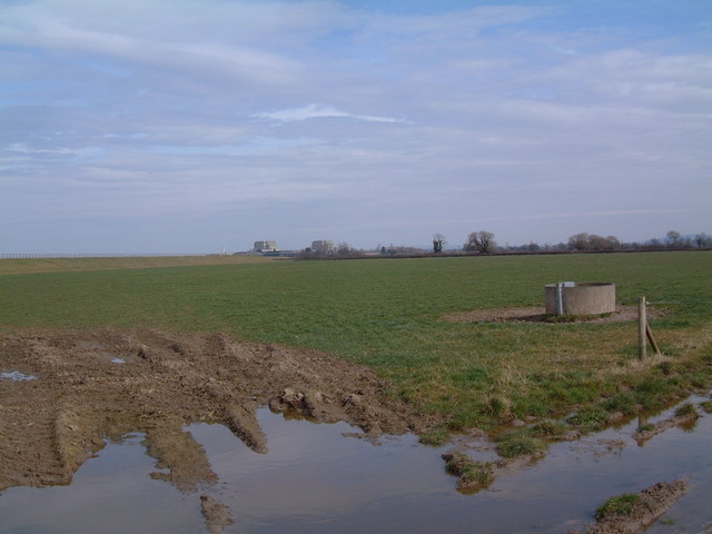
Black Rock Images
Images are sourced within 2km of 51.697957/-2.5006075 or Grid Reference SO6500. Thanks to Geograph Open Source API. All images are credited.


Black Rock is located at Grid Ref: SO6500 (Lat: 51.697957, Lng: -2.5006075)
Administrative County: Gloucestershire
District: Forest of Dean
Police Authority: Gloucestershire
What 3 Words
///funky.supreme.cavalier. Near Sharpness, Gloucestershire
Nearby Locations
Related Wikis

SGS Berkeley Green UTC
SGS Berkeley Green UTC is a university technical college in Berkeley, Gloucestershire, England. It opened in September 2017, and is part of SGS Academy...

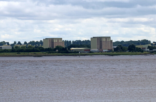
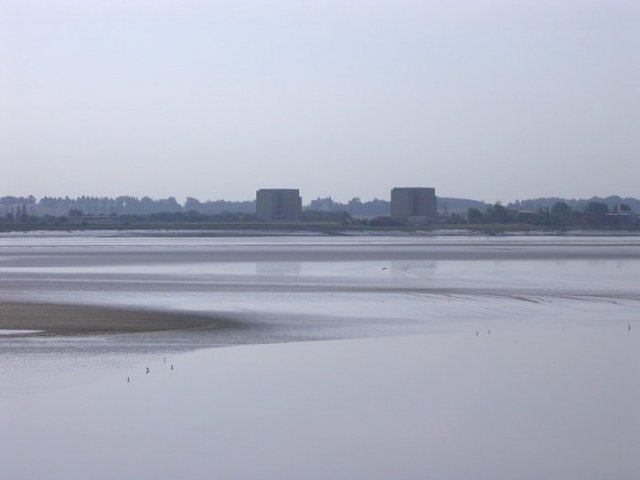
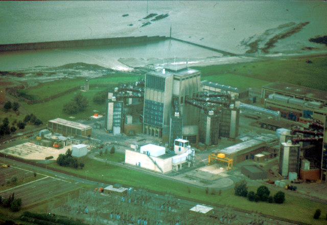
Berkeley nuclear power station
Berkeley nuclear power station is a former Magnox nuclear power station situated on the bank of the River Severn in Gloucestershire, England. The ongoing...

Little Avon River
The Little Avon River is a small river partly in southern Gloucestershire and partly in South Gloucestershire. For much of its length it forms the boundary...
Vale of Berkeley College
The Vale of Berkeley College was a small school located in Wanswell Berkeley, Gloucestershire, England. The school closed in July 2011. == External... ==
Lydney Cliff
Lydney Cliff (grid reference SO654020) is a 8.0-hectare (20-acre) geological Site of Special Scientific Interest in Gloucestershire, notified in 1990....
Ham and Stone
Ham and Stone is a civil parish in the Stroud district, in the county of Gloucestershire, England. It includes the settlements of Bevington, Ham, Hystfield...

Lydney railway station
Lydney railway station is a railway station serving the town of Lydney in Gloucestershire, England. It is located on the Gloucester-Newport line, 133 miles...
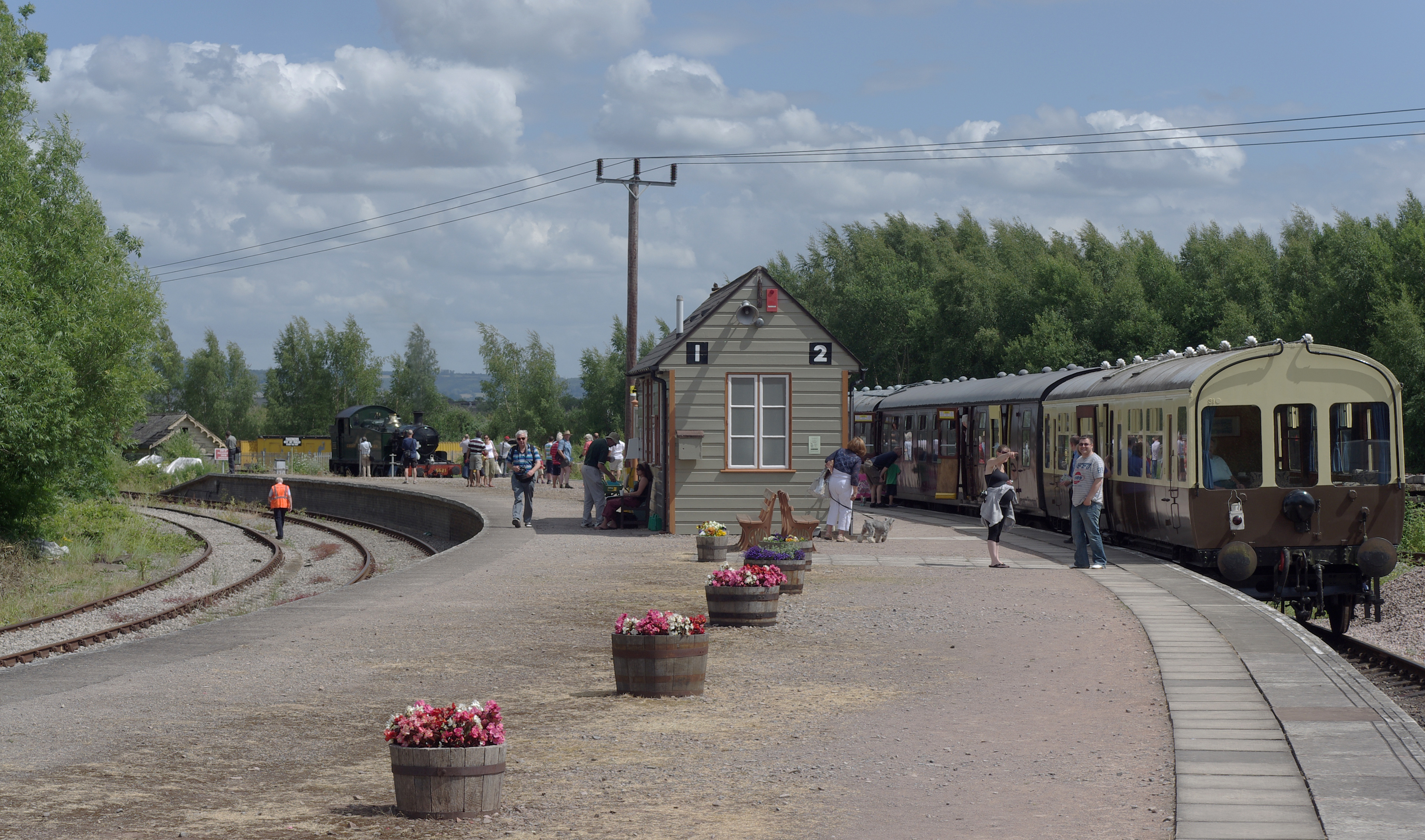
Lydney Junction railway station
Lydney Junction railway station is a railway station near Lydney in Gloucestershire. The station is now the southern terminus of the Dean Forest Railway...
Nearby Amenities
Located within 500m of 51.697957,-2.5006075Have you been to Black Rock?
Leave your review of Black Rock below (or comments, questions and feedback).