Guscar Rocks

Island in Gloucestershire Forest of Dean

England

Guscar Rocks

Gloucester to Chepstow Railway Line This square is mostly flat farmland by the Severn with a railway running through it. There used to be a station here, nr Alvington but I've yet to get the identity of it.
Gloucester to Chepstow Railway Line Credit: Stuart Wilding

Guscar Rocks is a small island located off the coast of Gloucestershire, England. Situated in the Bristol Channel, this rocky outcrop is known for its unique geological features and its role as a haven for various bird species.

Covered in jagged cliffs and boulders, Guscar Rocks measures approximately 50 meters in length and 20 meters in width. The island is mostly made up of sedimentary rocks, including limestone and sandstone, formed over millions of years. These rocks not only provide a striking visual aspect but also serve as important habitats for a diverse array of marine life.

Due to its isolated location and rocky terrain, Guscar Rocks has become a popular nesting site for seabirds. Species such as guillemots, razorbills, and kittiwakes can be found here, using the cliffs and crevices to build their nests and raise their young. The island also attracts migratory birds during certain times of the year, providing a temporary resting place for species traveling long distances.

Access to Guscar Rocks is limited as the island is mostly inaccessible by foot, especially during high tide. However, it can be admired from afar, offering stunning views from the mainland or from boat trips along the coast. The island serves as a reminder of the diverse ecosystems found within the region, highlighting the importance of conservation efforts to protect and preserve these natural habitats.

If you have any feedback on the listing, please let us know in the comments section below.
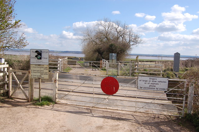
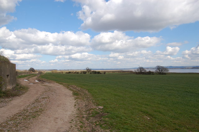
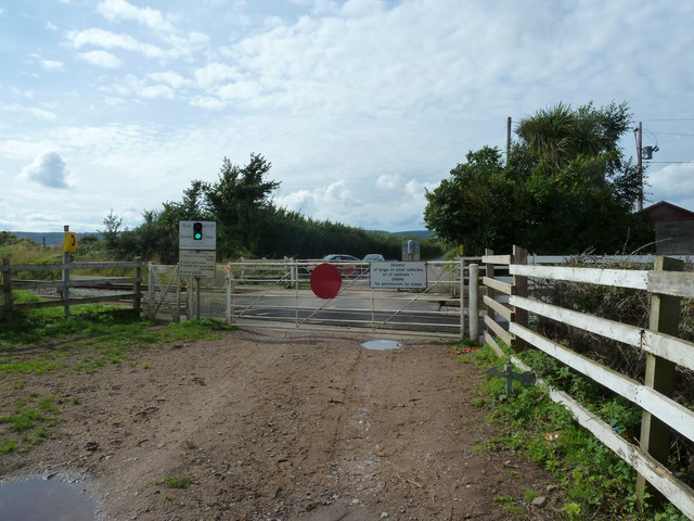
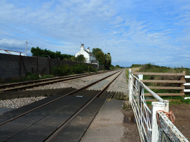
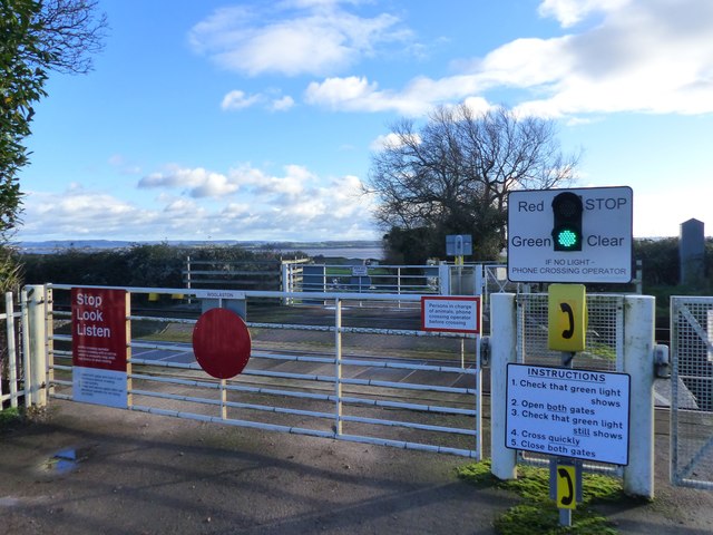
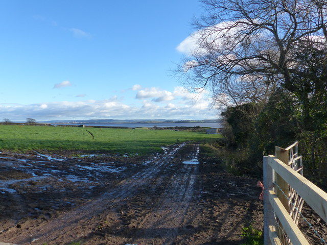
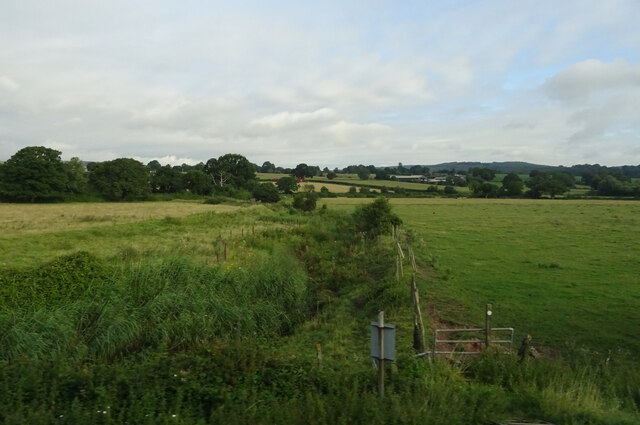
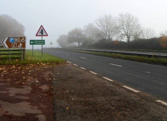
Guscar Rocks Images

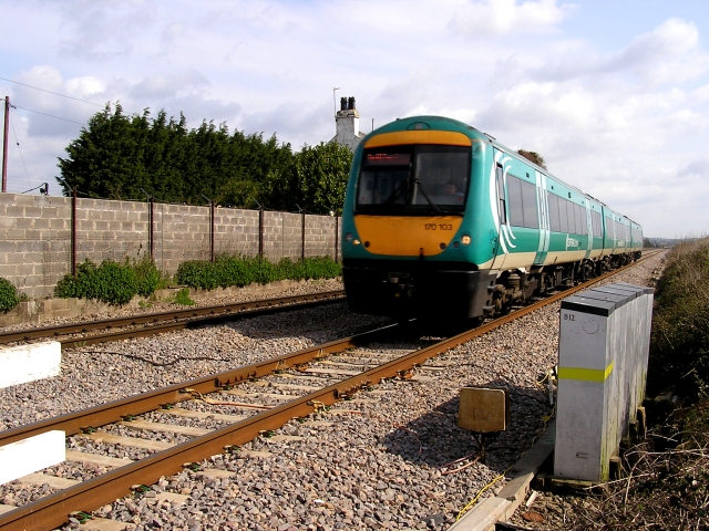
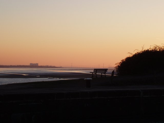
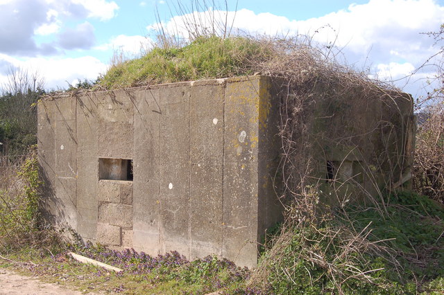
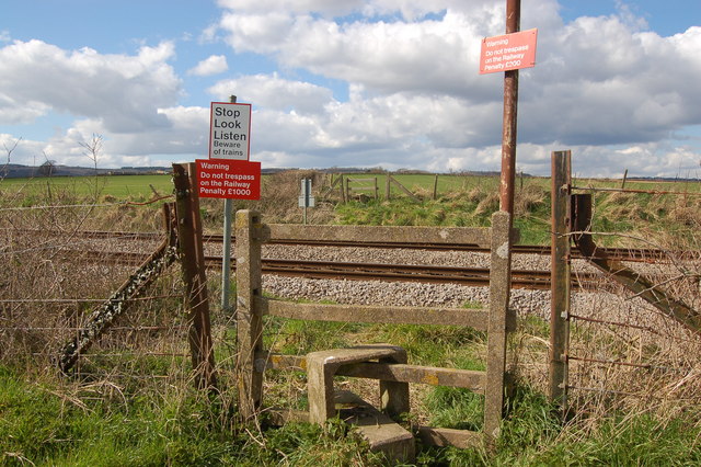
Images are sourced within 2km of 51.680442/-2.5807011 or Grid Reference ST5998. Thanks to Geograph Open Source API. All images are credited.

Gloucester to Chepstow Railway Line This square is mostly flat farmland by the Severn with a railway running through it. There used to be a station here, nr Alvington but I've yet to get the identity of it.
Gloucester to Chepstow Railway Line
This square is mostly flat farmland by the Severn with a railway running through it. There used to be a station here, nr Alvington but I've yet to get the identity of it.
The River Severn This square is 80% River. The building at the top is Oldbury Nuclear Power Station.
The River Severn
This square is 80% River. The building at the top is Oldbury Nuclear Power Station.
Severn Sands, Bridges and Oldbury from Lydney Harbour
Pillbox near Plusterwine on river Severn This is the middle pillbox in a line of three along the Gloucester-Chepstow railway line near the level crossing south-east of Plusterwine. All three pillboxes are pre-fabricated type 26s built in 1940. The railway at this point is only a few hundred yards from the river Severn. The entrances to the pillboxes indicate that the would-be attacker was approaching from across the river Severn. A number of anti-tank vertical rails remain in the hedgerow bordering the railway line on its eastern flank.
Pillbox near Plusterwine on river Severn
This is the middle pillbox in a line of three along the Gloucester-Chepstow railway line near the level crossing south-east of Plusterwine. All three pillboxes are pre-fabricated type 26s built in 1940. The railway at this point is only a few hundred yards from the river Severn. The entrances to the pillboxes indicate that the would-be attacker was approaching from across the river Severn. A number of anti-tank vertical rails remain in the hedgerow bordering the railway line on its eastern flank.
Pedestrian railway crossing near Plusterwine This is a view looking north-west over the Gloucester-Chepstow railway line near Plusterwine in a location close to the river Severn. The railway boundary fence in the foreground (nearest the river) incorporates a number of WW2 anti-tank vertical rails but a gap here permitted access for the footpath.
Pedestrian railway crossing near Plusterwine
This is a view looking north-west over the Gloucester-Chepstow railway line near Plusterwine in a location close to the river Severn. The railway boundary fence in the foreground (nearest the river) incorporates a number of WW2 anti-tank vertical rails but a gap here permitted access for the footpath.
Woolaston level crossing This unmanned level crossing is to be found on the Gloucester-Chepstow line. The view here is to the south-east with the river Severn in the background.
Woolaston level crossing
This unmanned level crossing is to be found on the Gloucester-Chepstow line. The view here is to the south-east with the river Severn in the background.
The flood plain of the river Severn near Plusterwine View looks north-east towards Lydney with the Gloucester-Chepstow railway line in the top left. Berkeley nuclear power station is just visible on the far bank of the Severn. A WW2 pillbox adjoining the railway line commands the fields on this stretch of the river.
The flood plain of the river Severn near Plusterwine
View looks north-east towards Lydney with the Gloucester-Chepstow railway line in the top left. Berkeley nuclear power station is just visible on the far bank of the Severn. A WW2 pillbox adjoining the railway line commands the fields on this stretch of the river.
Woolaston level crossing from the far side
The railway line at Woolaston level crossing
Field edge view at Woolaston Triangulation Pillar Looking north-westward.
Field edge view at Woolaston Triangulation Pillar
Looking north-westward.
Severn Estuary at low tide The main channel of the Severn River hugs the west bank near Woolaston.  Oldbury Nuclear Power Station on the east bank in the distance.
Severn Estuary at low tide
The main channel of the Severn River hugs the west bank near Woolaston. Oldbury Nuclear Power Station on the east bank in the distance.
Clear instructions at Woolaston Level Crossing This is a user-operated gate for both farm vehicles and pedestrians.  The road ends at the crossing.
Clear instructions at Woolaston Level Crossing
This is a user-operated gate for both farm vehicles and pedestrians. The road ends at the crossing.
Farm track, field boundary, and a view of the River Severn, Woolaston
Footpath beside Cone Brook
A picnic area off the A48
Public toilets in a picnic and parking area near the A48, Woolaston There was an unexpected bank of fog in the Woolaston area on a November Sunday that was clear 
and sunny with bright blue skies elsewhere, hence the poor visibility in the background.
Public toilets in a picnic and parking area near the A48, Woolaston
There was an unexpected bank of fog in the Woolaston area on a November Sunday that was clear and sunny with bright blue skies elsewhere, hence the poor visibility in the background.
Entrance from the A48 to a picnic area, Woolaston Facilities in the picnic area include public toilets. <a title="https://www.geograph.org.uk/photo/3230301" href="https://www.geograph.org.uk/photo/3230301">Link</a>
Entrance from the A48 to a picnic area, Woolaston
Facilities in the picnic area include public toilets. Link
Church Lane, Woolaston On the left, a sign pointing to the sky shows CHURCH.
The sign should of course be interpreted as pointing ahead, towards this <a title="https://www.geograph.org.uk/photo/1899890" href="https://www.geograph.org.uk/photo/1899890">Link</a> church.
Church Lane, Woolaston
On the left, a sign pointing to the sky shows CHURCH. The sign should of course be interpreted as pointing ahead, towards this Link church.
Show me another place!

Guscar Rocks is located at Grid Ref: ST5998 (Lat: 51.680442, Lng: -2.5807011)

Administrative County: Gloucestershire

District: Forest of Dean

Police Authority: Gloucestershire

What 3 Words

///clapper.fastening.pouch. Near Hill, Gloucestershire

Related Wikis

Woolaston

Woolaston is a village and civil parish in the Forest of Dean district of Gloucestershire in South West England. It lies on the north side of the Severn...

Alvington, Gloucestershire

Alvington is a village and civil parish in the Forest of Dean in Gloucestershire, England, situated on the A48 road, six miles north-east of Chepstow in...

Oldbury nuclear power station

Oldbury nuclear power station is a Magnox nuclear power station undergoing decommissioning. It is located on the south bank of the River Severn close...

Ridley Bottom, Tidenham

Ridley Bottom (grid reference ST563985) is a 1.1-hectare (2.7-acre) nature reserve in Gloucestershire. The site is listed in the 'Forest of Dean Local...

Nearby Amenities

Located within 500m of 51.680442,-2.5807011
Source: PGS
Lat/Long: 51.6839647/-2.5788682
Source: PGS
Lat/Long: 51.6841435/-2.5783141
Created By: almien_coastlines
Source: PGS
Lat/Long: 51.6844155/-2.5773177
The data included in this document is from www.openstreetmap.org. The data is made available under ODbL.

Have you been to Guscar Rocks?

Leave your review of Guscar Rocks below (or comments, questions and feedback).