Charston Rock

Island in Monmouthshire

Wales

Charston Rock

Private house This is a private residence please respect the owners privacy.
Private house Credit: Alan Nixon

Charston Rock is a small island located in the county of Monmouthshire, Wales. Situated in the River Wye, it is a picturesque spot known for its natural beauty and historical significance.

Covering an area of approximately 1.5 acres, Charston Rock is characterized by its rocky terrain and lush vegetation. The island is accessible by boat or kayak, and is a popular destination for nature enthusiasts and outdoor adventurers. Its remote location provides a tranquil escape from the hustle and bustle of everyday life.

The island has a rich history, dating back to medieval times. It is believed to have been used as a defensive outpost during conflicts in the region. Today, remnants of a small fortification and defensive walls can still be seen, serving as a reminder of its past.

Charston Rock offers stunning panoramic views of the surrounding landscape, including the rolling hills of Monmouthshire and the flowing waters of the River Wye. It is a haven for wildlife, with various species of birds, insects, and plants calling it home.

Visitors to Charston Rock can enjoy activities such as picnicking, hiking, or simply immersing themselves in the tranquility of the island. The island is also a popular spot for fishing, with the river offering opportunities to catch trout and salmon.

In conclusion, Charston Rock in Monmouthshire is a small but enchanting island, offering a glimpse into the region's history and providing a peaceful retreat for nature lovers.

If you have any feedback on the listing, please let us know in the comments section below.

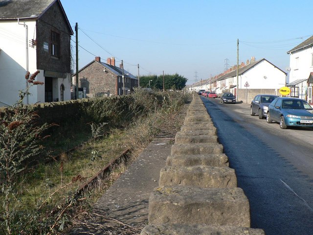
Charston Rock Images

Images are sourced within 2km of 51.589599/-2.695351 or Grid Reference ST5188. Thanks to Geograph Open Source API. All images are credited.

Private house This is a private residence please respect the owners privacy.
Private house
This is a private residence please respect the owners privacy.
The bridge to Southbrook At the south of Portskewett is the bridge over the railway. It is a narrow, single track road but a newer pedestrian section has been added alongside.
The bridge to Southbrook
At the south of Portskewett is the bridge over the railway. It is a narrow, single track road but a newer pedestrian section has been added alongside.
'Greater love hath no man than this...' '...that a man lay down his life for his friends.'
'Greater love hath no man than this...'
'...that a man lay down his life for his friends.'
Second Severn Bridge The second motorway bridge across the Severn estuary, between Caldicot and Severn Beach, looking east from the navigation channel.
Second Severn Bridge
The second motorway bridge across the Severn estuary, between Caldicot and Severn Beach, looking east from the navigation channel.
Second Severn Crossing A fantastic bridge viewed from the car, going towards Wales.
Second Severn Crossing
A fantastic bridge viewed from the car, going towards Wales.
The Second Severn Crossing View of the second Severn Bridge and the Bristol Channel from a flight out of Bristol Airport. Here low tide reveals the English Stones which the bridge crosses. The Severn Estuary is the second most tidal estuary in the world and ships entering Avonmouth require a local pilot to navigate the treacherous waters.
The Second Severn Crossing
View of the second Severn Bridge and the Bristol Channel from a flight out of Bristol Airport. Here low tide reveals the English Stones which the bridge crosses. The Severn Estuary is the second most tidal estuary in the world and ships entering Avonmouth require a local pilot to navigate the treacherous waters.
Outfall of the Severn Tunnel Great Spring, Sudbrook On 16th October 1879 engineers driving the Severn Tunnel struck a water-filled passage 170 feet underground and 400 yards inland. The tunnel was flooded within 2 days and took 2 years to finally drain. Ever since the tunnel has been kept dry by pumping more than 23 million gallons of fresh water a day to the surface. This exceptionally pure water is used by a paper mill and brewery; what is left emerges at this outfall.
Outfall of the Severn Tunnel Great Spring, Sudbrook
On 16th October 1879 engineers driving the Severn Tunnel struck a water-filled passage 170 feet underground and 400 yards inland. The tunnel was flooded within 2 days and took 2 years to finally drain. Ever since the tunnel has been kept dry by pumping more than 23 million gallons of fresh water a day to the surface. This exceptionally pure water is used by a paper mill and brewery; what is left emerges at this outfall.
Leaving Wales The second Severn crossing, heading east.
Leaving Wales
The second Severn crossing, heading east.
Charston Rock Light Charston Rock Light was built in 1868 and is still operational.Picture taken from Black Rock Picnic Site.
Charston Rock Light
Charston Rock Light was built in 1868 and is still operational.Picture taken from Black Rock Picnic Site.
Radar Station Small operational radar station near Black Rock Picnic Site
Radar Station
Small operational radar station near Black Rock Picnic Site
Second Severn Crossing Taken heading westbound towards Wales.
Second Severn Crossing
Taken heading westbound towards Wales.
Junction of road between Leechpool & Portskewett Not much to add really, except that behind the trees there is a railway cutting and a sea of electricity pylons, the top of one of which you can just make out.
Junction of road between Leechpool & Portskewett
Not much to add really, except that behind the trees there is a railway cutting and a sea of electricity pylons, the top of one of which you can just make out.
The Portskewett Inn, Portskewett. Monmouthshire On the main street through the village.
The Portskewett Inn, Portskewett. Monmouthshire
On the main street through the village.
Old railway and pumping station, Sudbrook The Severn Railway Tunnel runs beneath this village.  There is the constant need to pump water from it, and this is done here.  This old railway, relic of the building of the tunnel, runs parallel to the main street of the village. It is crossed a couple of times by link roads, for example to the Post Office just out of view on the right. They were hand-operated gates - hence this sign.
Old railway and pumping station, Sudbrook
The Severn Railway Tunnel runs beneath this village. There is the constant need to pump water from it, and this is done here. This old railway, relic of the building of the tunnel, runs parallel to the main street of the village. It is crossed a couple of times by link roads, for example to the Post Office just out of view on the right. They were hand-operated gates - hence this sign.
Black Rock Lave Net Heritage Fishery This sign (bi-lingual, as we're in Wales!) marks the area of the historic lave net fishery.  At particular times and tides, fishermen waded into the water with large hand-held triangular nets to catch salmon.  There are a few individuals locally who have maintained the skill, though no-one makes a living from it any more - it's for our education and heritage.  

Check out the website:  <span class="nowrap"><a title="http://www.blackrocklavenets.co.uk/" rel="nofollow ugc noopener" href="http://www.blackrocklavenets.co.uk/">Link</a><img style="margin-left:2px;" alt="External link" title="External link - shift click to open in new window" src="https://s1.geograph.org.uk/img/external.png" width="10" height="10"/></span>
Black Rock Lave Net Heritage Fishery
This sign (bi-lingual, as we're in Wales!) marks the area of the historic lave net fishery. At particular times and tides, fishermen waded into the water with large hand-held triangular nets to catch salmon. There are a few individuals locally who have maintained the skill, though no-one makes a living from it any more - it's for our education and heritage. Check out the website: LinkExternal link
Train on the Gloucester to Cardiff line, at Portskewett Picture taken from stone railway bridge (no built up sides here - so a really good place to see trains!) Landscape notable for the density of electrical pylons.
Train on the Gloucester to Cardiff line, at Portskewett
Picture taken from stone railway bridge (no built up sides here - so a really good place to see trains!) Landscape notable for the density of electrical pylons.
Second Severn Crossing, seen from Sudbrook
From the top of the bridge Work being carried out on the second Severn Crossing about 200m up
From the top of the bridge
Work being carried out on the second Severn Crossing about 200m up
Show me another place!

Charston Rock is located at Grid Ref: ST5188 (Lat: 51.589599, Lng: -2.695351)

Unitary Authority: Monmouthshire

Police Authority: Gwent

What 3 Words

///belief.mailbox.profited. Near Severn Beach, Gloucestershire

Related Wikis

Portskewett Pier railway station

Portskewett Pier was a station on the Bristol & South Wales Union Railway. The pier at Black Rock, near Portskewett, was the Welsh side of the New Passage...

Portskewett railway station

Portskewett railway station is a former station serving Portskewett, Wales, four miles south west of Chepstow and one mile east of Caldicot. It was opened...

Sudbrook, Monmouthshire

Sudbrook is a village in Monmouthshire, south east Wales. It is located 4 miles south west of Chepstow and 1 mile east of Caldicot. It lies close to the...
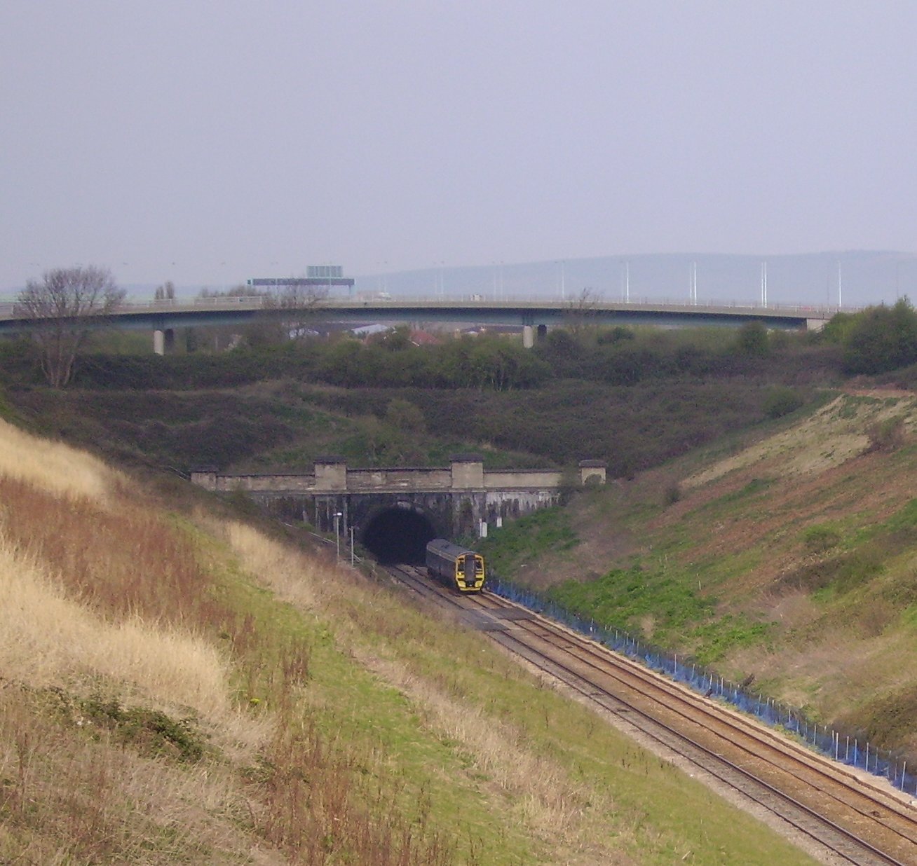
Severn Tunnel

The Severn Tunnel (Welsh: Twnnel Hafren) is a railway tunnel in the United Kingdom, linking South Gloucestershire in the west of England to Monmouthshire...

Second Severn Crossing

The Second Severn Crossing (Welsh: Ail Groesfan Hafren), officially named the Prince of Wales Bridge (Welsh: Pont Tywysog Cymru) since July 2018, is the...

Severn Tunnel rail accident

On 7 December 1991, two trains collided inside the Severn Tunnel, between England and Wales. There were no fatalities but 185 passengers were injured....

St Mary's Church, Portskewett

St Mary's is located in the centre of the village of Portskewett, Monmouthshire. It is a Grade I listed building as of 19 August 1955. == History and... ==

Portskewett

Portskewett (Welsh: Porthsgiwed or Porthysgewin) is a village and community (parish) in Monmouthshire, south east Wales. It is located four miles south...

Related Videos

Walking Around The Prince of Wales Bridge - Quik Storys #3

A video automatically generated by the Go Pro Quik app using some of the images I took on of my Walk Around The Prince of ...

Nearby Amenities

Located within 500m of 51.589599,-2.695351
Source: PGS
Lat/Long: 51.5915853/-2.7016639
Seamark Light Character: Fl
Seamark Light Colour: white
Seamark Light Height: 5
Seamark Light Period: 3
Seamark Light Range: 8
Seamark Light Reference: A 5535
Seamark Light Sequence: 0.5+(2.5)
Seamark Type: light_minor
Source: US NGA Pub. 114. 2011-05-26.
Lat/Long: 51.5892167/-2.6945667
The data included in this document is from www.openstreetmap.org. The data is made available under ODbL.

Have you been to Charston Rock?

Leave your review of Charston Rock below (or comments, questions and feedback).