Black Rock

Island in Monmouthshire

Wales

Black Rock

Portskewett, St Mary's Church
Portskewett, St Mary's Church Credit: ChurchCrawler

Black Rock is a small uninhabited island located off the coast of Monmouthshire, Wales. Situated in the Bristol Channel, it is part of the United Kingdom. The island is characterized by its rugged and rocky landscape, with steep cliffs and a jagged coastline.

Covering an area of approximately 7 hectares, Black Rock is a nature reserve and a designated Site of Special Scientific Interest (SSSI). The island is home to a diverse range of wildlife, including various species of seabirds such as puffins, razorbills, and guillemots. It also serves as an important breeding ground for seals.

Access to Black Rock is limited due to its remote location and lack of facilities. Visitors can only reach the island by boat or during low tide when a natural causeway is exposed, allowing for a brief window of access. However, the treacherous currents and rocky terrain make it inadvisable for inexperienced individuals to attempt the journey.

The island's name, Black Rock, is derived from the dark-colored rocks that dominate its landscape. These rocks are composed of carboniferous limestone and have been shaped over time by the powerful waves of the Bristol Channel.

Black Rock, Monmouthshire, offers a unique opportunity for nature enthusiasts and birdwatchers to experience a pristine and untouched environment. Its isolation and natural beauty make it a haven for wildlife and a place of interest for those seeking a tranquil escape from the mainland.

If you have any feedback on the listing, please let us know in the comments section below.
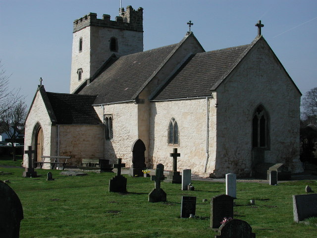
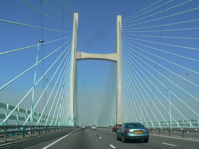
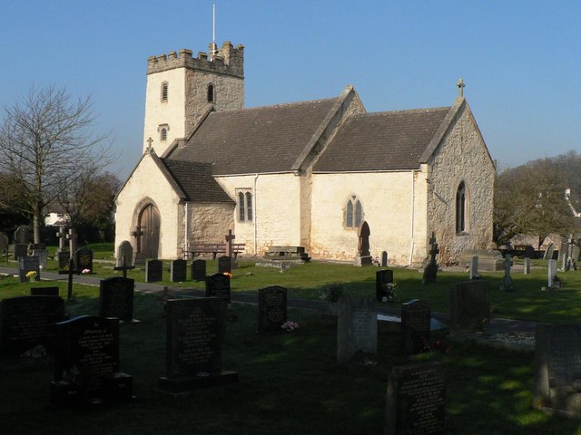
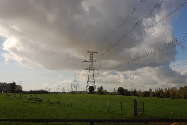
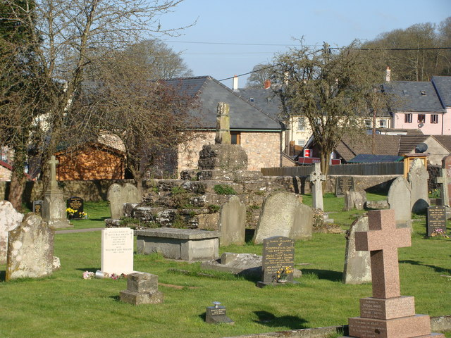
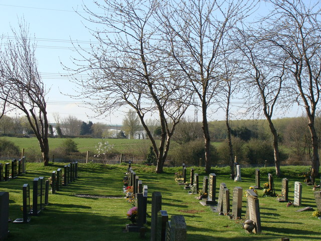
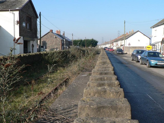
Black Rock Images

Images are sourced within 2km of 51.589417/-2.7017717 or Grid Reference ST5188. Thanks to Geograph Open Source API. All images are credited.

Portskewett, St Mary's Church
Crossing the Severn
Crossing the Severn
Portskewett: parish church of St. Mary A fine church which catches the winter sun splendidly on this beautiful morning.
Portskewett: parish church of St. Mary
A fine church which catches the winter sun splendidly on this beautiful morning.
Powerlines near Portskewett
St Mary's church, Portskewett
Severn Bridge
Severn Bridge
Severn Bridge
Severn Bridge
St Mary's church and churchyard, Portskewett
Remains of ancient cross, Portskewett
The churchyard, Portskewett In the background can be seen an elevated section of the M4 forming part of the Second Severn Crossing.
The churchyard, Portskewett
In the background can be seen an elevated section of the M4 forming part of the Second Severn Crossing.
Portskewett : Caldicot Road approaches crossroads A white-on-pink bilingual SLOW/ARAF (Welsh) sign on the road surface is alongside a sign advising of crossroads ahead - Crick Road from the north and Manor Way from the south. Below the sign, a white-on-blue sign advises of a 7.5 tonne limit on Crick Road. Behind the crossroads sign is a school sign. Archbishop Rowan Williams Church in Wales Voluntary Aided Primary School is nearby.
Portskewett : Caldicot Road approaches crossroads
A white-on-pink bilingual SLOW/ARAF (Welsh) sign on the road surface is alongside a sign advising of crossroads ahead - Crick Road from the north and Manor Way from the south. Below the sign, a white-on-blue sign advises of a 7.5 tonne limit on Crick Road. Behind the crossroads sign is a school sign. Archbishop Rowan Williams Church in Wales Voluntary Aided Primary School is nearby.
Millstone Cottages, Portskewett Newly-built housing on the north side of Main Road.
Millstone Cottages, Portskewett
Newly-built housing on the north side of Main Road.
Harold's Park, Portskewett Located on the south side of Main Road, adjacent to the church. <a title="https://www.geograph.org.uk/photo/2059211" href="https://www.geograph.org.uk/photo/2059211">Link</a>
This large field may be the site of Earl Harold Godwinson's hunting lodge. He was later King Harold II of England. The destruction of the lodge is mentioned in the Anglo Saxon Chronicles, which records its construction in Portskewett in 1065. Despite recent excavations in the area, no direct evidence has yet been found to pinpoint the location of the lodge.
Harold's Park, Portskewett
Located on the south side of Main Road, adjacent to the church. Link This large field may be the site of Earl Harold Godwinson's hunting lodge. He was later King Harold II of England. The destruction of the lodge is mentioned in the Anglo Saxon Chronicles, which records its construction in Portskewett in 1065. Despite recent excavations in the area, no direct evidence has yet been found to pinpoint the location of the lodge.
Monument Close, Portskewett New houses viewed from Sudbrook Road. The name Monument was chosen because the houses are close to the ancient monument known as Harold's Field or Harold's Park. <a title="https://www.geograph.org.uk/photo/2058851" href="https://www.geograph.org.uk/photo/2058851">Link</a>
Monument Close, Portskewett
New houses viewed from Sudbrook Road. The name Monument was chosen because the houses are close to the ancient monument known as Harold's Field or Harold's Park. Link
Northern edge of Sudbrook Just beyond traffic lights at the corner of Sudbrook Road and Monument Close, <a title="https://www.geograph.org.uk/photo/2058876" href="https://www.geograph.org.uk/photo/2058876">Link</a> a sign on the right edge of the road marks the end of Portskewett and the start of Sudbrook.
Northern edge of Sudbrook
Just beyond traffic lights at the corner of Sudbrook Road and Monument Close, Link a sign on the right edge of the road marks the end of Portskewett and the start of Sudbrook.
Portskewett : looking across Harold's Park towards the church The wooden fence marks the boundary of Harold's Park <a title="https://www.geograph.org.uk/photo/2058851" href="https://www.geograph.org.uk/photo/2058851">Link</a> on the right. 
St Mary's church, <a title="https://www.geograph.org.uk/photo/2059211" href="https://www.geograph.org.uk/photo/2059211">Link</a> which seats about 125, has been restored and altered several times since it was built in the late 11th century.
Portskewett : looking across Harold's Park towards the church
The wooden fence marks the boundary of Harold's Park Link on the right. St Mary's church, Link which seats about 125, has been restored and altered several times since it was built in the late 11th century.
St Mary's Church Portskewett Viewed from Sudbrook Road. The church, which seats about 125, has been restored and altered several times since it was built in the late 11th century.
St Mary's Church Portskewett
Viewed from Sudbrook Road. The church, which seats about 125, has been restored and altered several times since it was built in the late 11th century.
Sudbrook Road railway bridge Looking south along Sudbrook Road on the approach to the bridge across railway lines connecting Caldicot with Chepstow.
Sudbrook Road railway bridge
Looking south along Sudbrook Road on the approach to the bridge across railway lines connecting Caldicot with Chepstow.
Show me another place!

Black Rock is located at Grid Ref: ST5188 (Lat: 51.589417, Lng: -2.7017717)

Unitary Authority: Monmouthshire

Police Authority: Gwent

What 3 Words

///gazes.sandpaper.grownup. Near Caldicot, Monmouthshire

Related Wikis

Portskewett Pier railway station

Portskewett Pier was a station on the Bristol & South Wales Union Railway. The pier at Black Rock, near Portskewett, was the Welsh side of the New Passage...

Portskewett railway station

Portskewett railway station is a former station serving Portskewett, Wales, four miles south west of Chepstow and one mile east of Caldicot. It was opened...

Sudbrook, Monmouthshire

Sudbrook is a village in Monmouthshire, south east Wales. It is located 4 miles south west of Chepstow and 1 mile east of Caldicot. It lies close to the...

Severn Tunnel rail accident

On 7 December 1991, two trains collided inside the Severn Tunnel, between England and Wales. There were no fatalities but 185 passengers were injured....

Nearby Amenities

Located within 500m of 51.589417,-2.7017717
Source: PGS
Lat/Long: 51.5875266/-2.7074357
Source: PGS
Lat/Long: 51.5879/-2.7066922
Source: PGS
Lat/Long: 51.588165/-2.7061666
Source: PGS
Lat/Long: 51.5885923/-2.7051592
Source: PGS
Lat/Long: 51.5886806/-2.7047945
Source: PGS
Lat/Long: 51.5887323/-2.7046035
Source: PGS
Lat/Long: 51.5889416/-2.7041121
Source: PGS
Lat/Long: 51.5890687/-2.7037592
Source: PGS
Lat/Long: 51.589614/-2.7033592
Source: PGS
Lat/Long: 51.5902103/-2.7031138
Source: PGS
Lat/Long: 51.5908356/-2.702569
Source: PGS
Lat/Long: 51.5909916/-2.7023974
Source: PGS
Lat/Long: 51.5915853/-2.7016639
Source: PGS
Lat/Long: 51.5921489/-2.7016522
Source: PGS
Lat/Long: 51.5929053/-2.7012846
Source: PGS
Lat/Long: 51.593734/-2.7014
Source: PGS
Lat/Long: 51.5937969/-2.7015362
Source: PGS
Lat/Long: 51.5938323/-2.7014503
Source: PGS
Lat/Long: 51.5935295/-2.7008828
Power: tower
Lat/Long: 51.5907399/-2.7074994
Power: tower
Lat/Long: 51.590661/-2.7072865
Power: tower
Lat/Long: 51.5928943/-2.705685
Power: tower
Lat/Long: 51.591981/-2.706664
Power: tower
Lat/Long: 51.5916541/-2.7066215
Power: tower
Lat/Long: 51.5927851/-2.7051586
Power: tower
Lat/Long: 51.5895551/-2.7083072
Power: tower
Lat/Long: 51.5894549/-2.7081006
Power: tower
Lat/Long: 51.5919528/-2.7062294
Seamark Light Character: Fl
Seamark Light Colour: white
Seamark Light Height: 5
Seamark Light Period: 3
Seamark Light Range: 8
Seamark Light Reference: A 5535
Seamark Light Sequence: 0.5+(2.5)
Seamark Type: light_minor
Source: US NGA Pub. 114. 2011-05-26.
Lat/Long: 51.5892167/-2.6945667
Waste Basket
Lat/Long: 51.5892783/-2.704739
Information: board
Tourism: information
Lat/Long: 51.5892661/-2.7042087
Bench
Lat/Long: 51.5893111/-2.7040826
Bench
Lat/Long: 51.5892399/-2.704798
Leisure: picnic_table
Lat/Long: 51.5891134/-2.7048999
Leisure: picnic_table
Lat/Long: 51.5892415/-2.7045271
Bench
Lat/Long: 51.58883/-2.7048487
Leisure: picnic_table
Note: fitted with metal plate for bbq
Lat/Long: 51.5893633/-2.7051359
The data included in this document is from www.openstreetmap.org. The data is made available under ODbL.

Have you been to Black Rock?

Leave your review of Black Rock below (or comments, questions and feedback).