Scar Nose
Island in Banffshire
Scotland
Scar Nose
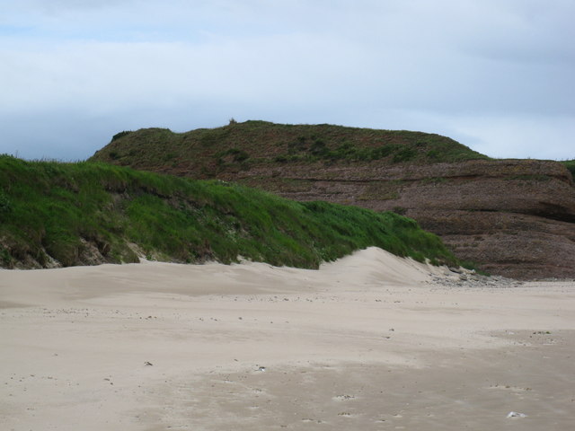
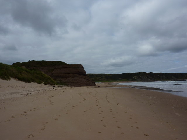
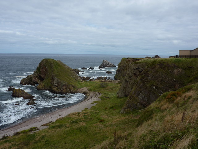
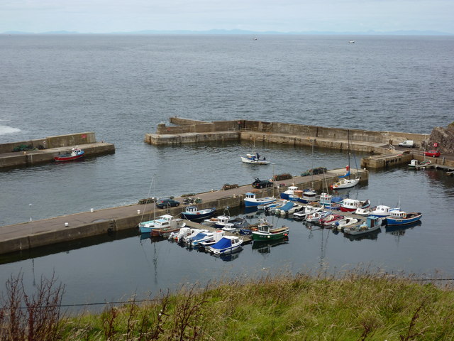
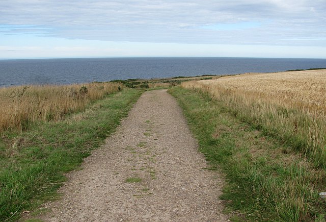
Scar Nose is a picturesque island located off the coast of Banffshire, Scotland. Situated in the North Sea, this small island spans approximately 2 square kilometers and is accessible only by boat. It is renowned for its rugged cliffs, sandy beaches, and stunning natural beauty.
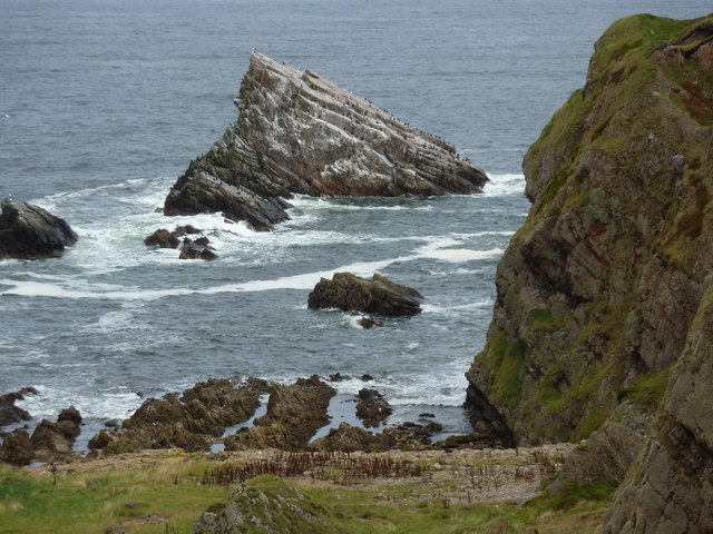
The island derives its name from the distinctive scar-like shape that is formed by a prominent cliff face, giving it a unique and recognizable silhouette. Scar Nose boasts a diverse range of flora and fauna, making it a haven for nature enthusiasts and birdwatchers. The island is home to various seabird colonies, including puffins, guillemots, and razorbills.
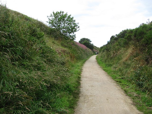
Visitors to Scar Nose can explore its rocky coastline, which is adorned with sea caves and arches that have been carved out by centuries of erosion. The sandy beaches provide opportunities for relaxation and sunbathing, while the clear waters offer excellent conditions for snorkeling and diving.
Despite its remote location, Scar Nose has a rich history. It is believed to have been inhabited since prehistoric times, and remnants of ancient settlements can still be seen on the island. The ruins of a medieval chapel and a lighthouse stand as testaments to its past.
Scar Nose offers a tranquil escape from the hustle and bustle of everyday life. Its untouched natural beauty and serene atmosphere make it an ideal destination for those seeking solitude and a connection with nature.
If you have any feedback on the listing, please let us know in the comments section below.
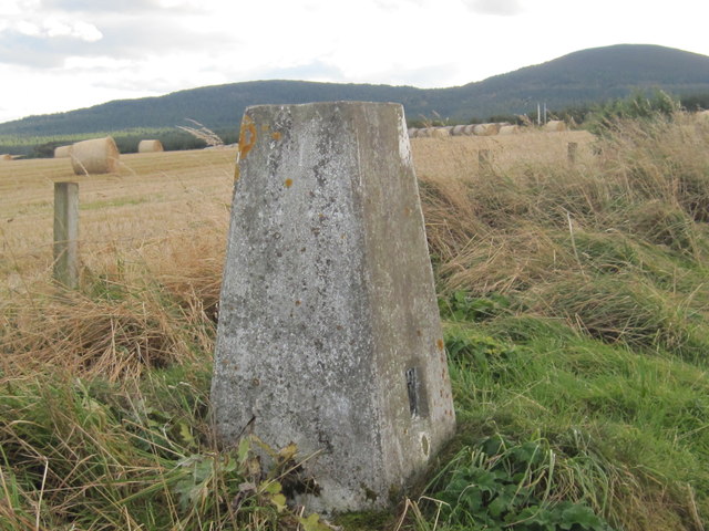
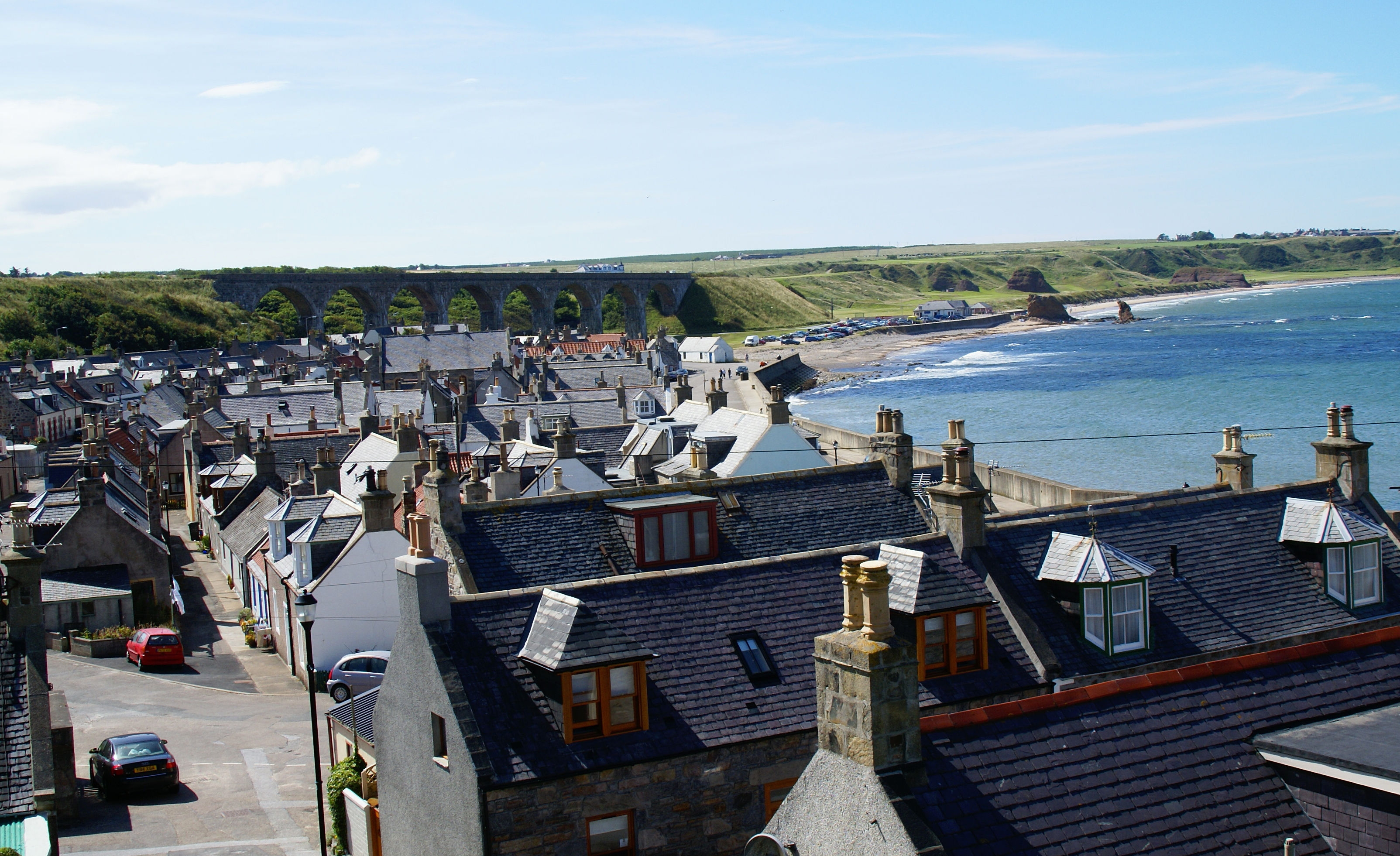
Scar Nose Images
Images are sourced within 2km of 57.706682/-2.8501424 or Grid Reference NJ4968. Thanks to Geograph Open Source API. All images are credited.
Scar Nose is located at Grid Ref: NJ4968 (Lat: 57.706682, Lng: -2.8501424)
Unitary Authority: Moray
Police Authority: North East
What 3 Words
///mainframe.focus.gown. Near Portknockie, Moray
Nearby Locations
Related Wikis

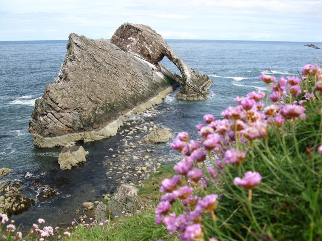
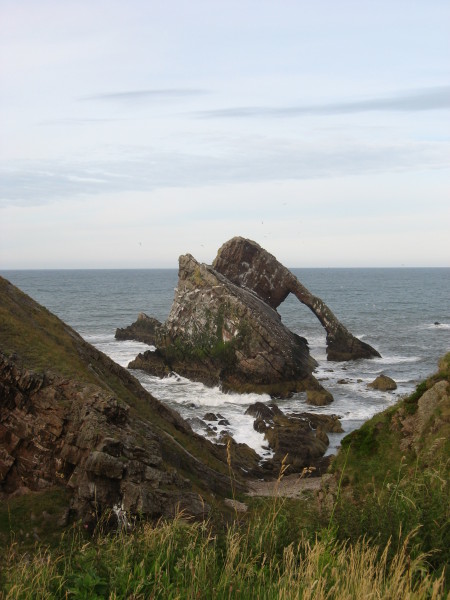
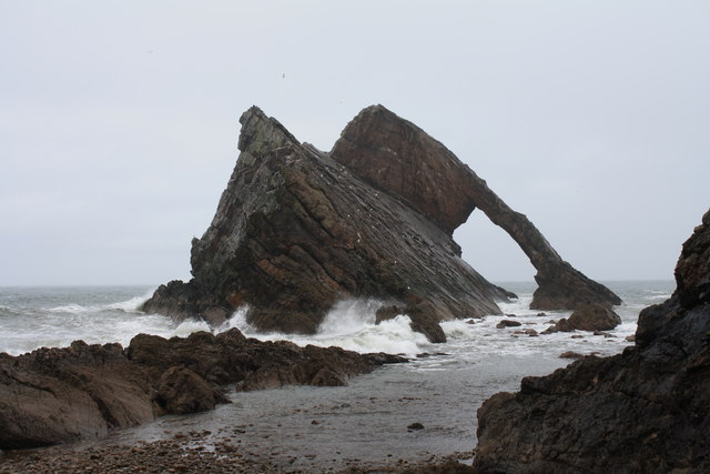
Bow Fiddle Rock
Bow Fiddle Rock is a natural sea arch near Portknockie on the north-eastern coast of Scotland. It is so called because it resembles the tip of a fiddle...

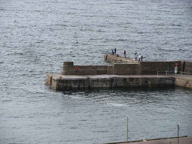
Green Castle, Portknockie
Green Castle is a naturally defended rocky outcrop in the village of Portknockie in Moray, Scotland, that was occupied successively by small promontory...

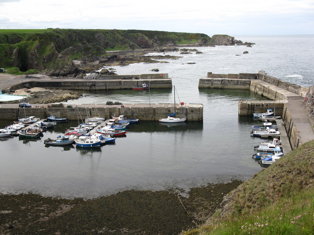
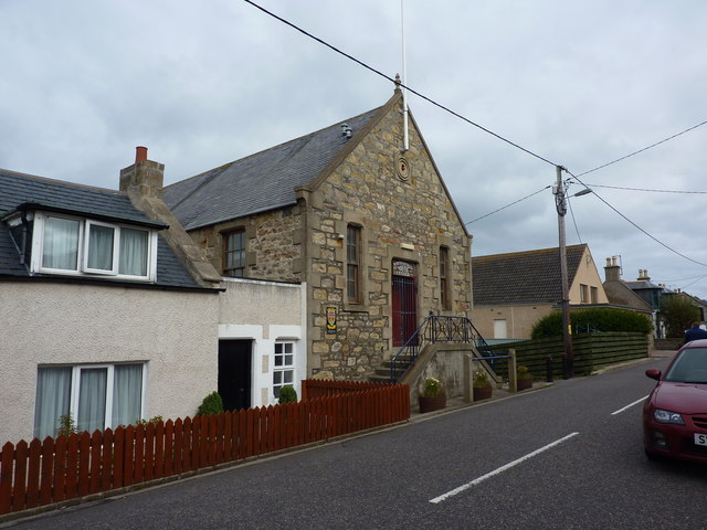
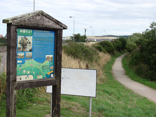
Portknockie
Portknockie (Scottish Gaelic: Port Chnocaidh, the hilly port) is a coastal village on the Moray Firth within Moray, Scotland. The village's name is written...
Portknockie railway station
Portknockie railway station was a railway station that served the small fishing village of Portknockie, close to Cullen in Moray. The railway station was...
Tronach Castle
Tronach Castle was a castle, about 0.5 miles (0.80 km) east of Portknockie, Moray, Scotland, near the shore. == Description == The first Statistical Account...
Cullen Castle
Cullen Castle was a royal castle about 0.5 miles (0.80 km) west of Cullen, Moray, Scotland, west of the burn of Deskford, and south of Seatown. The remains...
Cullen, Moray
Cullen (Scottish Gaelic: Inbhir Cuilinn) is a village and former royal burgh in Moray but historically in Banffshire, Scotland, on the North Sea coast...

Cullen Town Hall
Cullen Town Hall is a municipal building in The Square, Cullen, Moray, Scotland. The structure, which is currently used as a heritage centre, is a Category...
Nearby Amenities
Located within 500m of 57.706682,-2.8501424Have you been to Scar Nose?
Leave your review of Scar Nose below (or comments, questions and feedback).