Bull Head

Island in Westmorland South Lakeland

England

Bull Head

Jetty at Bowness
Jetty at Bowness Credit: Eirian Evans

Bull Head is a small island located in Westmorland County, New Brunswick, Canada. Situated in the Bay of Fundy, it is one of the many islands that dot the coastline of this picturesque region. The island gets its name from its distinct shape resembling the head of a bull.

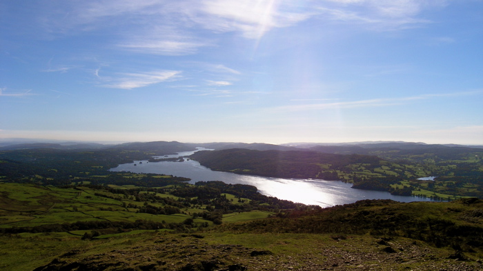
Covering an area of approximately 5 hectares, Bull Head is known for its rugged and rocky terrain. The island is uninhabited, and its natural beauty remains untouched by human development. It is a popular destination for nature enthusiasts and birdwatchers due to its diverse wildlife and bird populations. Visitors can spot a variety of seabirds, including gulls, cormorants, and terns, as well as occasional sightings of seals and dolphins in the surrounding waters.

Access to Bull Head is limited to private boats or guided tours, as there are no public transportation services to the island. The island does not have any facilities or amenities, making it necessary for visitors to bring their own supplies and take precautions to ensure a safe and enjoyable trip.

In addition to its natural beauty, Bull Head is also of geological interest. The island features sandstone cliffs and formations, providing a glimpse into the region's geological history. The tides of the Bay of Fundy, known for having the highest tidal range in the world, have sculpted the island's shoreline over millions of years, creating unique landscapes and rock formations.

For those seeking a serene and untouched natural environment, Bull Head offers a peaceful retreat surrounded by the beauty of the Bay of Fundy.

If you have any feedback on the listing, please let us know in the comments section below.
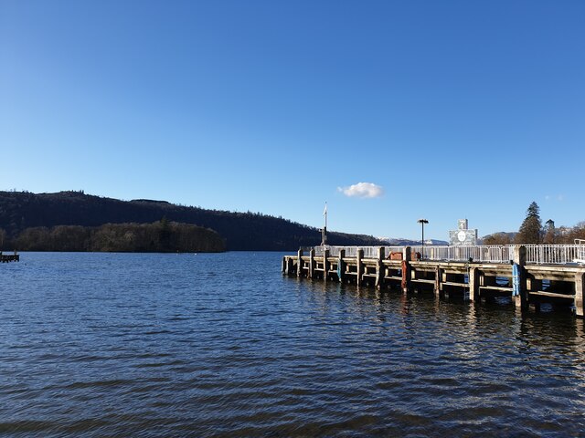
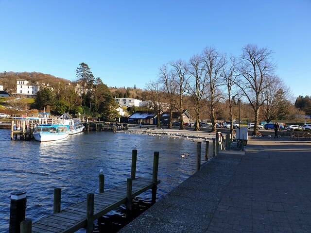
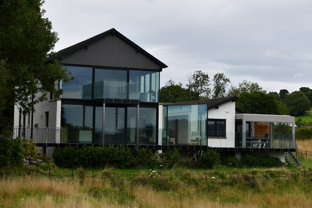
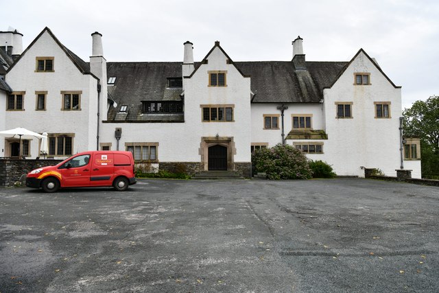
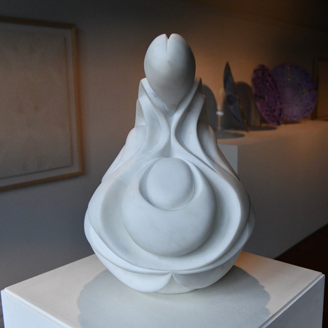
Bull Head Images

Images are sourced within 2km of 54.348547/-2.93791 or Grid Reference SD3995. Thanks to Geograph Open Source API. All images are credited.

Jetty at Bowness
Jetty at Bowness
Bowness piers Looking from just off the beach of Windermere at the piers where boats dock.
Bowness piers
Looking from just off the beach of Windermere at the piers where boats dock.
Landing stage for hire boats The long landing stage into Windermere used for hire boats.
Landing stage for hire boats
The long landing stage into Windermere used for hire boats.
Between the landing stages Looking out onto Windermere from the shingle beach between two landing stages used for hire boats.
Between the landing stages
Looking out onto Windermere from the shingle beach between two landing stages used for hire boats.
Bowness Pier The main pier at Bowness, viewed from the dock.
Bowness Pier
The main pier at Bowness, viewed from the dock.
Crows by Swift Scaffolding Two crows enjoying the scaffolding on the building beside the pier at Bowness.
Crows by Swift Scaffolding
Two crows enjoying the scaffolding on the building beside the pier at Bowness.
Beach at Bowness The shingle beach at Bowness-on-Windermere. The white building is an arcade, casino and pub.
Beach at Bowness
The shingle beach at Bowness-on-Windermere. The white building is an arcade, casino and pub.
Swan on the boardwalk A swan sat serenely on the boardwalk beside the shingle beach at Windermere.
Swan on the boardwalk
A swan sat serenely on the boardwalk beside the shingle beach at Windermere.
Bowness Pier Looking across Windermere from near to the amusement arcade over to Bowness Pier.
Bowness Pier
Looking across Windermere from near to the amusement arcade over to Bowness Pier.
Bowness shoreline The shoreline at Bowness, showing one of the landing stages to the left and the car park in the background.
Bowness shoreline
The shoreline at Bowness, showing one of the landing stages to the left and the car park in the background.
Looking out to Windermere Looking out over Windermere over two landing stages by the amusement arcade.
Looking out to Windermere
Looking out over Windermere over two landing stages by the amusement arcade.
Private road near Lindeth Howe This private access road from Meadowcroft Lane to Longtail Hill serves several houses and the Lindeth Howe Country House Hotel.
Private road near Lindeth Howe
This private access road from Meadowcroft Lane to Longtail Hill serves several houses and the Lindeth Howe Country House Hotel.
Cow Pasture near Breen Lane
Boats for hire On the shore of  Windermere at Bowness.
Boats for hire
On the shore of Windermere at Bowness.
Bowness-on-Windermere: Blackwell, the Arts and Crafts House
Bowness-on-Windermere: Blackwell Bungalow
Bowness-on-Windermere: Blackwell, the Arts and Crafts House
Bowness-on-Windermere, Blackwell, the Arts and Crafts House: 'Germination' by Halima Cassell 2012
Show me another place!

Bull Head is located at Grid Ref: SD3995 (Lat: 54.348547, Lng: -2.93791)

Administrative County: Cumbria

District: South Lakeland

Police Authority: Cumbria

What 3 Words

///eyeful.thatched.overdone. Near Windermere, Cumbria

Related Wikis

Hawkshead and Claife

Hawkshead and Claife is a National Trust property made up of much of the town of Hawkshead and surrounding Claife Woodlands in Cumbria, England. Overlooking...
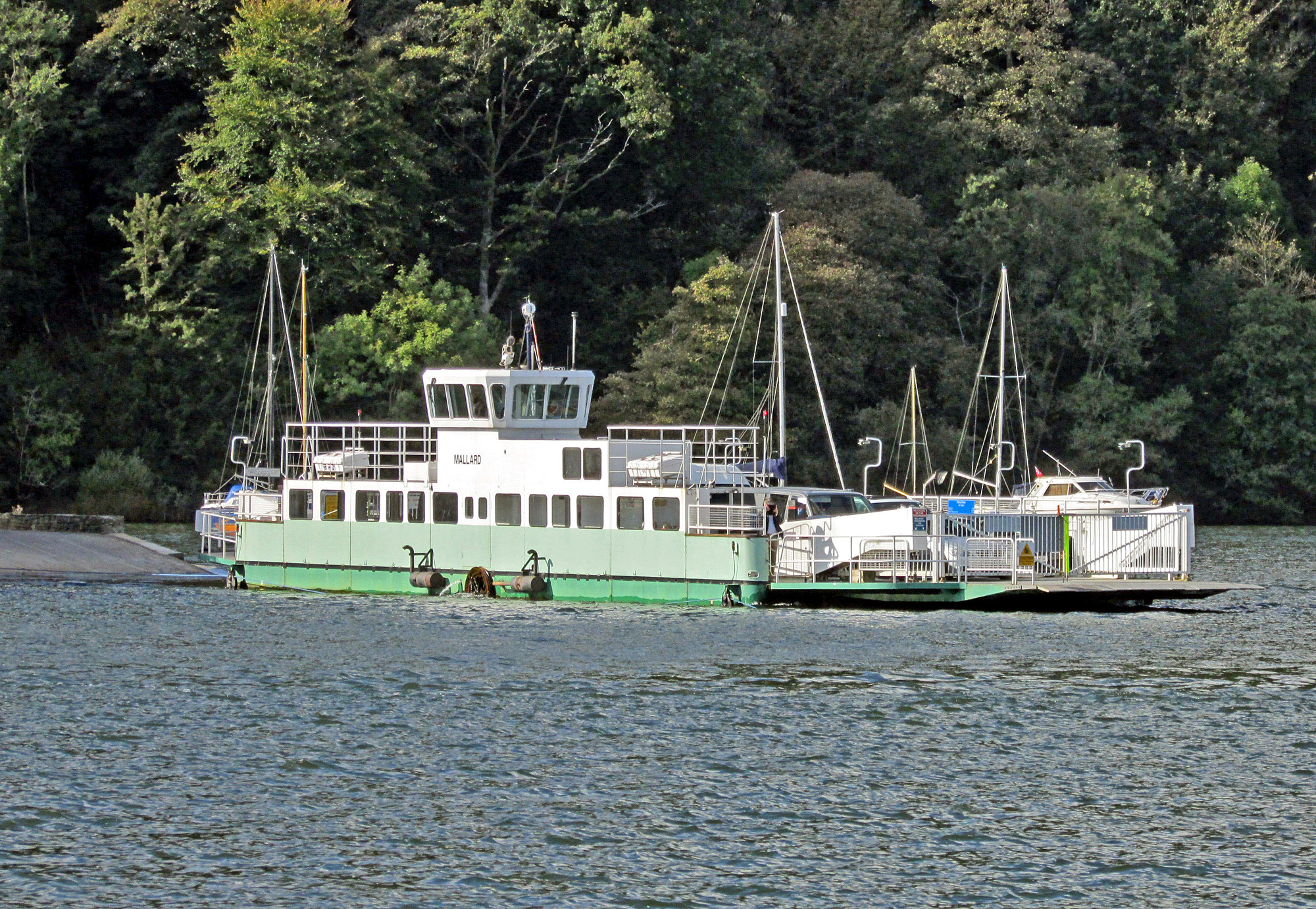
Windermere Ferry

The Windermere Ferry is a vehicular cable ferry which crosses Windermere, a lake in the English county of Cumbria. The ferry route forms part of the B5285...

Windermere Way

The Windermere Way is a 45-mile circuit of Windermere, a lake in the English Lake District. The route is wholly within the Lake District National Park...

Storrs Hall

Storrs Hall is a hotel on the banks of Windermere in Storrs in the Lake District, Cumbria, England. The hotel, a Grade II* listed Georgian mansion, is...

Nearby Amenities

Located within 500m of 54.348547,-2.93791
Source: Landsat photo
Lat/Long: 54.3466172/-2.9311819
Source: Landsat photo
Lat/Long: 54.3457366/-2.9321766
Source: Landsat photo
Lat/Long: 54.3455581/-2.9328777
Source: Landsat photo
Lat/Long: 54.3465018/-2.944538
Source: Landsat photo
Lat/Long: 54.3467465/-2.9439892
Source: Landsat photo
Lat/Long: 54.3469765/-2.9431286
Source: Landsat photo
Lat/Long: 54.3473767/-2.9431178
Source: Landsat photo
Lat/Long: 54.3482897/-2.9436757
Source: Landsat photo
Lat/Long: 54.3492533/-2.9435081
Source: Landsat photo
Lat/Long: 54.350125/-2.9432775
Source: Landsat photo
Lat/Long: 54.3502425/-2.942057
Source: Landsat photo
Lat/Long: 54.3513919/-2.9410195
Source: Landsat photo
Lat/Long: 54.3514913/-2.9401996
Source: Landsat photo
Lat/Long: 54.3517977/-2.9393842
Source: Landsat photo
Lat/Long: 54.3523542/-2.938601
Source: Landsat photo
Lat/Long: 54.3527481/-2.9382148
Source: Landsat photo
Lat/Long: 54.3526314/-2.940061
Source: Landsat photo
Lat/Long: 54.3523018/-2.9397077
Source: Landsat photo
Lat/Long: 54.3520774/-2.9399014
Ferry House
Place: hamlet
Lat/Long: 54.352885/-2.9391855
Bus Stop
Landing Stage (S)
Bus: yes
Local Ref: BY
Naptan AtcoCode: 090079131437
Naptan Bearing: S
Naptan CommonName: Landing Stage (S)
Naptan Indicator: by
Naptan Landmark: Access to Landing Stage
Naptan NaptanCode: cumdgtgj
Naptan Street: B5285
Naptan Verified: no
Public Transport: platform
Source: naptan_import
Lat/Long: 54.3495464/-2.9438552
Bouy: yes
Lat/Long: 54.3498461/-2.9331306
Bouy: yes
Lat/Long: 54.3497685/-2.9327582
Bouy: yes
Lat/Long: 54.349534/-2.9327449
Bouy: yes
Lat/Long: 54.3494507/-2.9329843
Source: Landsat photo
Lat/Long: 54.3474626/-2.930975
Source: Landsat photo
Lat/Long: 54.3476377/-2.9304171
Ferry House Wastewater Pumping Station
Man Made: pumping_station
Operator: United Utilties
Lat/Long: 54.352384/-2.939649
Bus Stop
Bus: yes
Departures Board: timetable
Public Transport: platform
Shelter: no
Lat/Long: 54.3520804/-2.9393911
Information: guidepost
Tourism: information
Lat/Long: 54.3520641/-2.9395539
Vending Machine
Vending: excrement_bags
Lat/Long: 54.3519924/-2.9399412
Information: guidepost
Tourism: information
Lat/Long: 54.3520362/-2.9393993
A short history of this site
Board Type: history
Information: board
Tourism: information
Lat/Long: 54.3520401/-2.9398781
Information: board
Tourism: information
Lat/Long: 54.3519971/-2.9400069
Ash Landing Nature Reserve
Information: board
Tourism: information
Lat/Long: 54.3492359/-2.9442112
Hay Meadows
Board Type: nature
Information: board
Tourism: information
Lat/Long: 54.3485231/-2.9441093
Insects
Board Type: nature
Information: board
Tourism: information
Lat/Long: 54.3480892/-2.9442595
Coppice Woodlands
Board Type: nature
Information: board
Tourism: information
Lat/Long: 54.3480119/-2.9442112
Wetlands
Board Type: nature
Information: board
Tourism: information
Lat/Long: 54.3482925/-2.9447959
Bench
Lat/Long: 54.3484684/-2.9449153
Hedges
Board Type: nature
Information: board
Tourism: information
Lat/Long: 54.3485872/-2.9449354
Hiking: yes
Information: guidepost
Tourism: information
Lat/Long: 54.3490609/-2.9450843
Ash Landing Car Park
Information: map
Tourism: information
Lat/Long: 54.3501856/-2.9436875
Hiking: yes
Information: guidepost
Tourism: information
Lat/Long: 54.3503865/-2.9436057
Hiking: yes
Information: guidepost
Tourism: information
Lat/Long: 54.3507179/-2.9420467
Covered: yes
Leisure: picnic_table
Lat/Long: 54.3519537/-2.9416524
Leisure: picnic_table
Lat/Long: 54.3516715/-2.9417422
The data included in this document is from www.openstreetmap.org. The data is made available under ODbL.

Have you been to Bull Head?

Leave your review of Bull Head below (or comments, questions and feedback).