Oven Bottom
Island in Westmorland South Lakeland
England
Oven Bottom

Oven Bottom, also known as Westmorland Island, is a small, uninhabited island located in the South Atlantic Ocean. It is a part of the Falkland Islands, a British Overseas Territory, and is situated approximately 10 kilometers northeast of West Falkland.
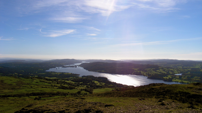
The island is characterized by its rugged and rocky terrain, with steep cliffs and no vegetation. Its name, Oven Bottom, is derived from its shape, which resembles an inverted baking dish or oven. The island measures about 1.5 kilometers in length and 1 kilometer in width, with an area of around 1 square kilometer.
Due to its remote and inaccessible location, Oven Bottom has no permanent human population. However, it serves as an important breeding ground for a variety of seabirds, including rockhopper penguins, southern giant petrels, black-browed albatrosses, and Falkland skuas. These birds utilize the island's cliffs and rocky ledges to build nests and raise their young, taking advantage of the abundant marine resources in the surrounding waters.
Oven Bottom is also home to a diverse marine ecosystem, with several species of fish, crustaceans, and marine mammals found in the waters surrounding the island. It provides a vital habitat for marine life, contributing to the overall biodiversity of the Falkland Islands.
While Oven Bottom may not be a place that attracts human visitors, it plays a significant role in supporting the fragile ecosystems of the South Atlantic Ocean and is an important part of the Falkland Islands' natural heritage.
If you have any feedback on the listing, please let us know in the comments section below.
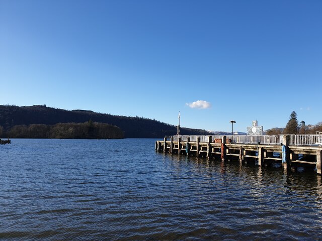
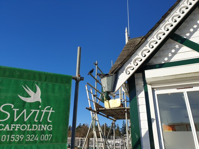
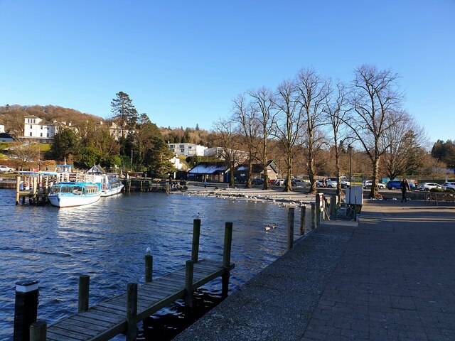
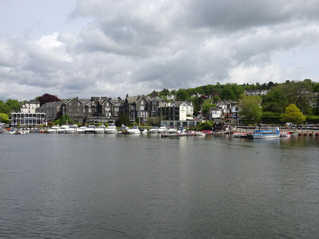
Oven Bottom Images
Images are sourced within 2km of 54.348606/-2.9372805 or Grid Reference SD3995. Thanks to Geograph Open Source API. All images are credited.


Oven Bottom is located at Grid Ref: SD3995 (Lat: 54.348606, Lng: -2.9372805)
Administrative County: Cumbria
District: South Lakeland
Police Authority: Cumbria
What 3 Words
///thatched.robe.flopping. Near Windermere, Cumbria
Nearby Locations
Related Wikis

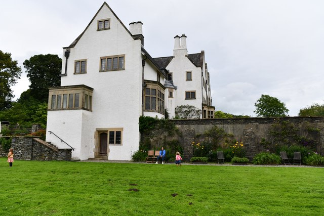
Hawkshead and Claife
Hawkshead and Claife is a National Trust property made up of much of the town of Hawkshead and surrounding Claife Woodlands in Cumbria, England. Overlooking...
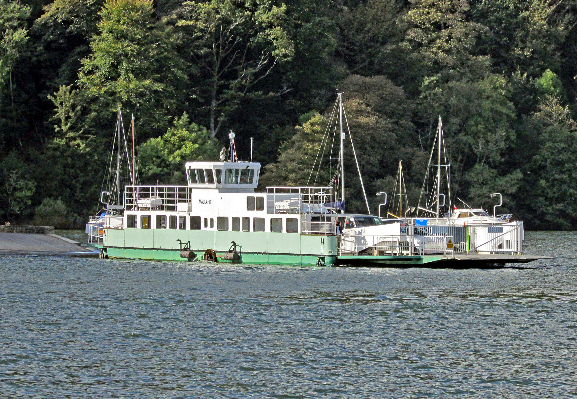
Windermere Ferry
The Windermere Ferry is a vehicular cable ferry which crosses Windermere, a lake in the English county of Cumbria. The ferry route forms part of the B5285...
Windermere Way
The Windermere Way is a 45-mile circuit of Windermere, a lake in the English Lake District. The route is wholly within the Lake District National Park...

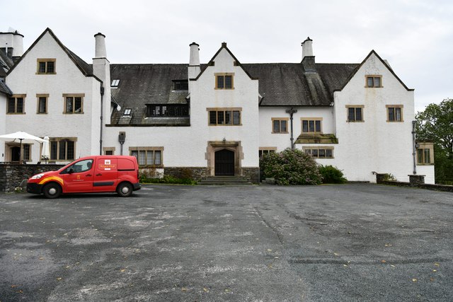
Storrs Hall
Storrs Hall is a hotel on the banks of Windermere in Storrs in the Lake District, Cumbria, England. The hotel, a Grade II* listed Georgian mansion, is...
Nearby Amenities
Located within 500m of 54.348606,-2.9372805Have you been to Oven Bottom?
Leave your review of Oven Bottom below (or comments, questions and feedback).