Black Ven Rocks
Island in Dorset
England
Black Ven Rocks
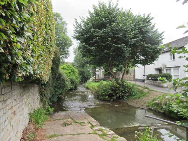
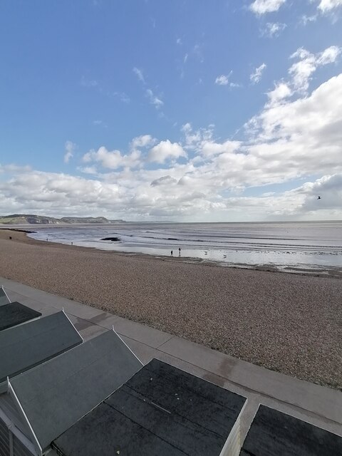
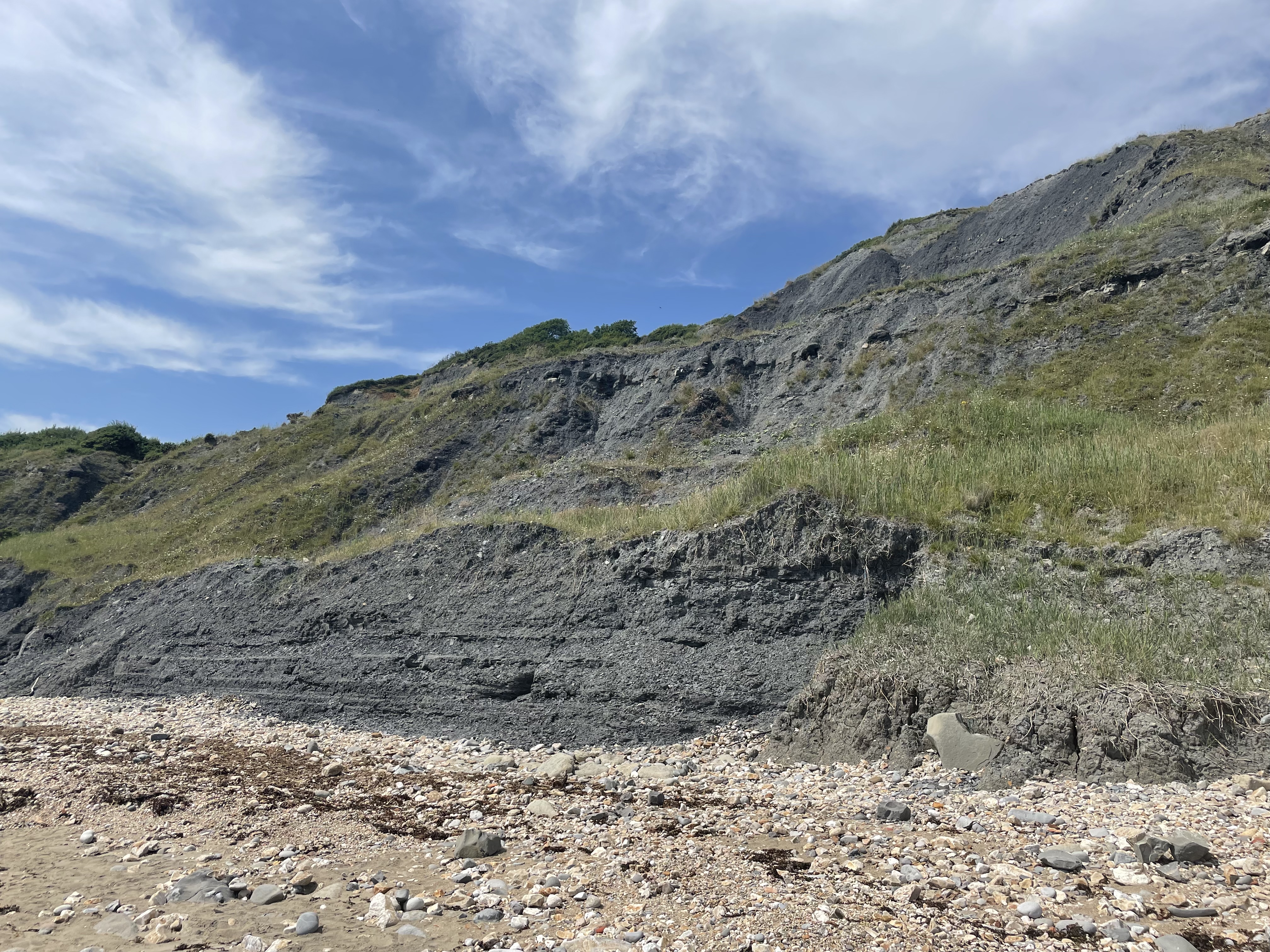
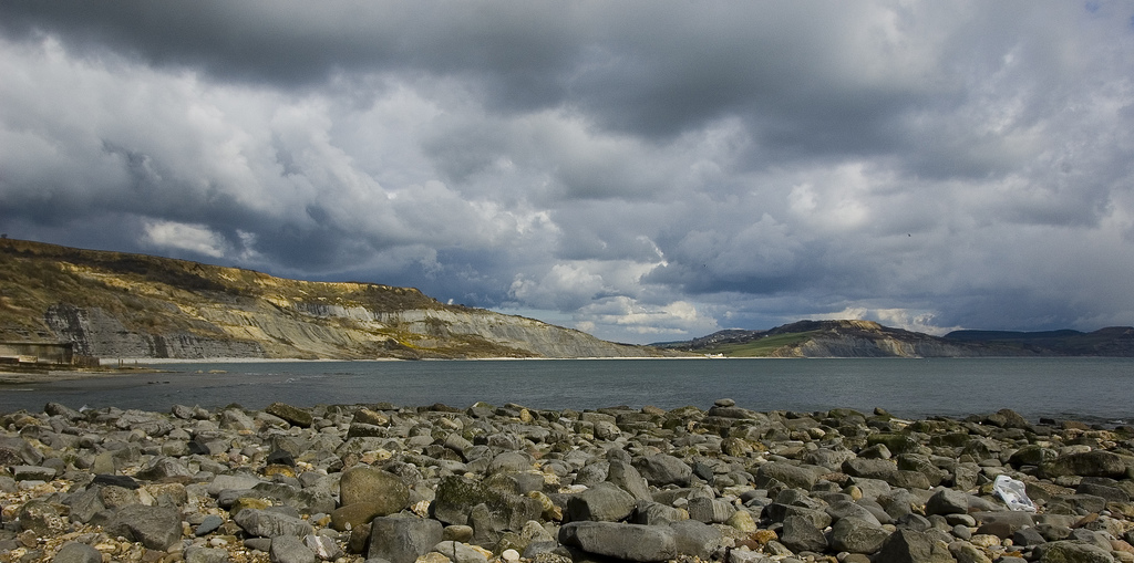
Black Ven Rocks is a prominent geological feature located off the coast of Lyme Regis in Dorset, England. It is a small rocky island that juts out of the sea, forming part of the UNESCO World Heritage Site known as the Jurassic Coast.
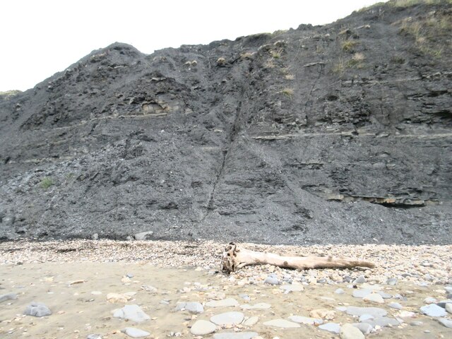
The island is made up of layers of dark shale and clay, giving it its distinctive black appearance. These rocks date back to the early Jurassic period, approximately 200 million years ago. The layers contain a wealth of fossilized remains, including ammonites, belemnites, and other marine creatures from the ancient seas. This makes Black Ven Rocks a popular destination for fossil hunters and geology enthusiasts.
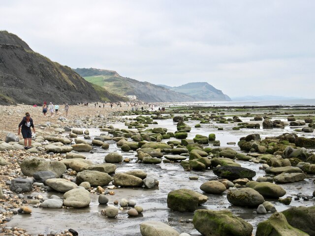
The island is accessible during low tide, when a rocky causeway appears, allowing visitors to walk across from the mainland. However, caution is advised as the causeway can become submerged during high tide, making it potentially dangerous to cross.
Black Ven Rocks offers stunning views of the surrounding coastline and provides a unique opportunity to observe the diverse marine life in the area. Seals, seabirds, and other wildlife can often be spotted in the waters around the island.
Due to its significant geological and ecological value, Black Ven Rocks is protected as a Site of Special Scientific Interest (SSSI) and should be treated with respect and care. Visitors are encouraged to follow any posted guidelines and regulations to preserve the delicate balance of the ecosystem.
If you have any feedback on the listing, please let us know in the comments section below.
Black Ven Rocks Images
Images are sourced within 2km of 50.733018/-2.9107353 or Grid Reference SY3592. Thanks to Geograph Open Source API. All images are credited.


Black Ven Rocks is located at Grid Ref: SY3592 (Lat: 50.733018, Lng: -2.9107353)
Unitary Authority: Dorset
Police Authority: Dorset
What 3 Words
///obtain.onto.cotton. Near Charmouth, Dorset
Nearby Locations
Related Wikis
Black Ven
Black Ven is a cliff in Dorset, England between the towns of Charmouth and Lyme Regis. The cliffs reach a height of 130 metres (430 ft). It is part of...
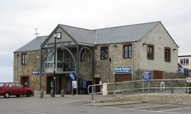
Charmouth Heritage Coast Centre
The Charmouth Heritage Coast Centre is based in the upstairs floor of a long-disused cement factory on the foreshore of Charmouth in Dorset, England. The...
The Spittles
The Spittles is an area of coastal cliff in the county of Dorset on the south coast of England. It is situated between the settlements of Lyme Regis to...
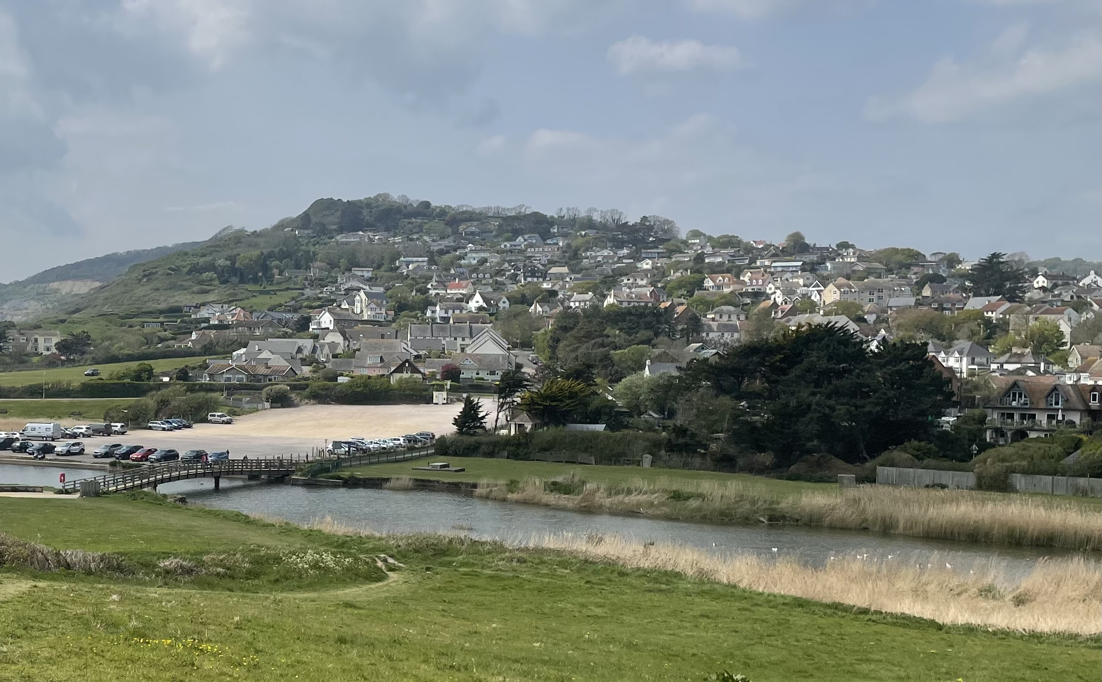
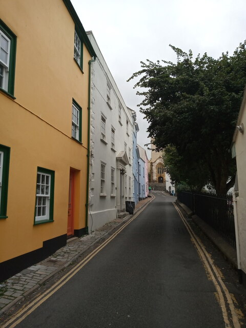
Charmouth
Charmouth is a village and civil parish in west Dorset, England. The village is situated on the mouth of the River Char, around 1+1⁄2 miles (2 km) north...

Lyme Regis Cemetery
Lyme Regis Cemetery is the principal cemetery in the English town of Lyme Regis, Dorset. Estimates for the number of burials in the cemetery range from...
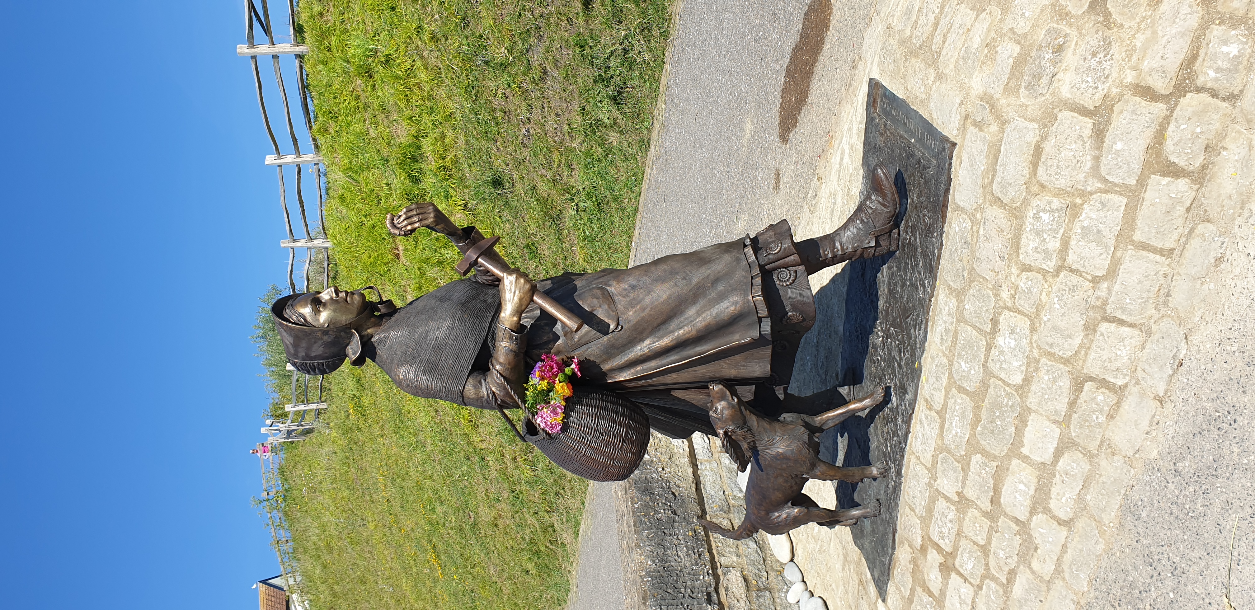
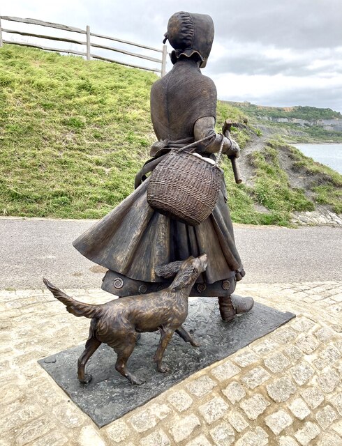
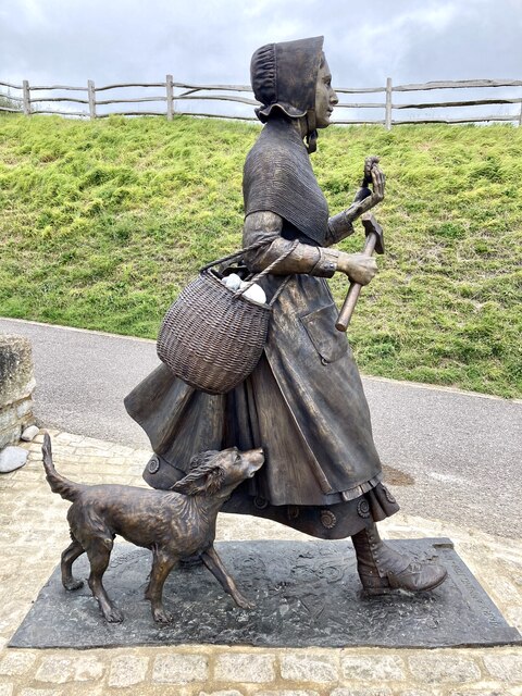
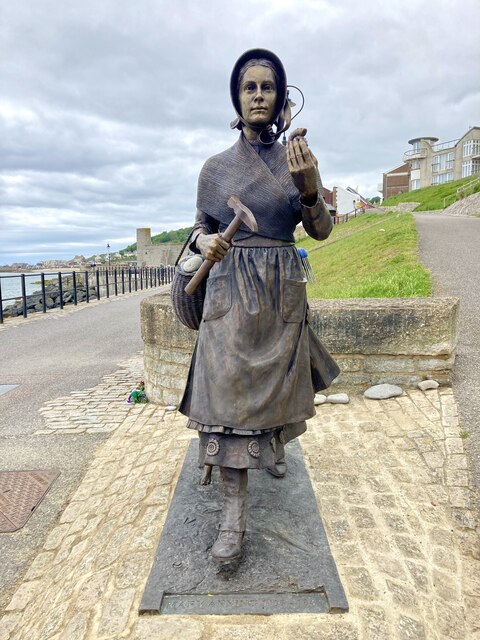
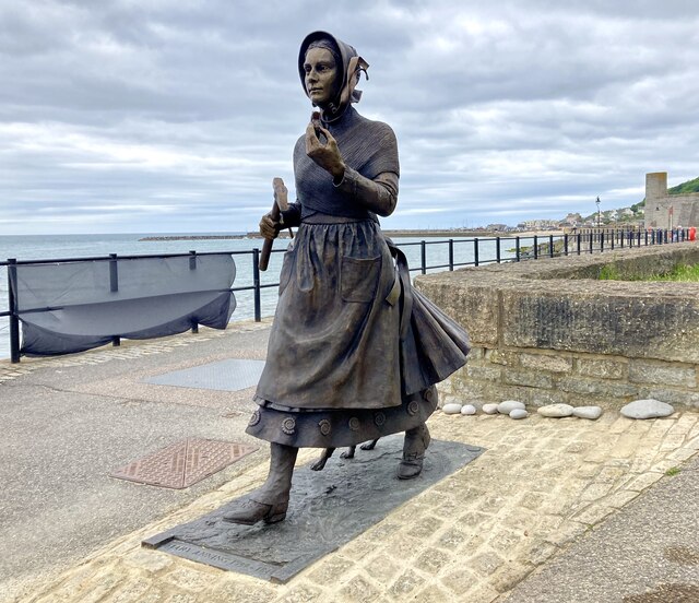
Statue of Mary Anning
The Statue of Mary Anning is a bronze sculpture of the paleontologist Mary Anning in Lyme Regis. == Inception and campaign == In August 2018, a campaign...
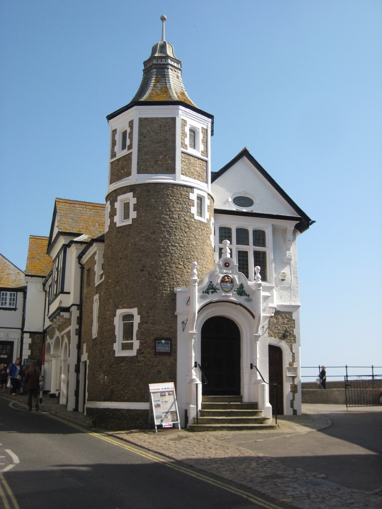
Lyme Regis Guildhall
Lyme Regis Guildhall is a municipal building in Bridge Street, Lyme Regis, Dorset, England. The building, which serves as the meeting place of Lyme Regis...
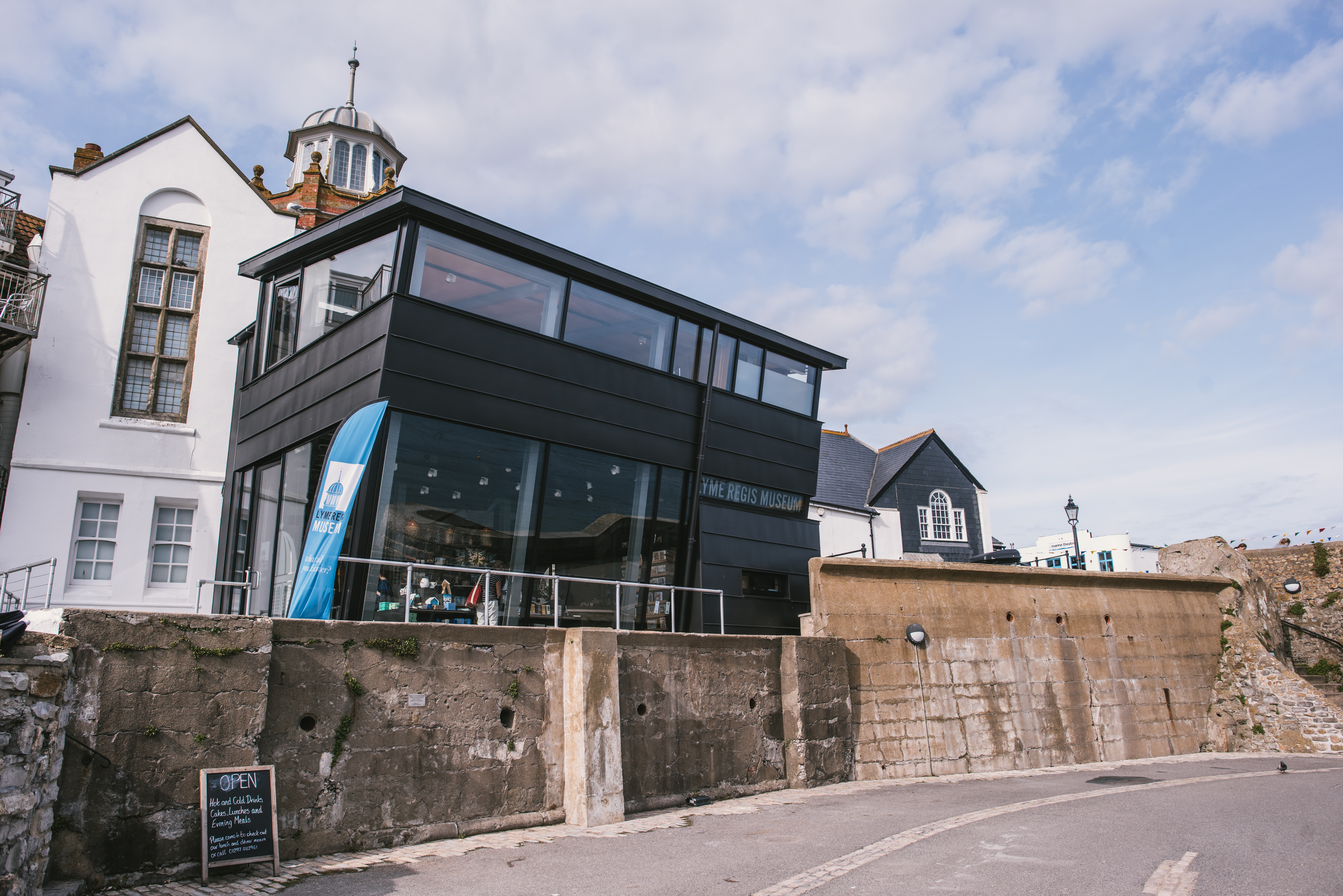
Lyme Regis Museum
Lyme Regis Philpot Museum is situated in the town of Lyme Regis on the Jurassic Coast in Dorset, England. It is a registered charity under English law...
Nearby Amenities
Located within 500m of 50.733018,-2.9107353Have you been to Black Ven Rocks?
Leave your review of Black Ven Rocks below (or comments, questions and feedback).