Canary Ledges
Island in Dorset
England
Canary Ledges

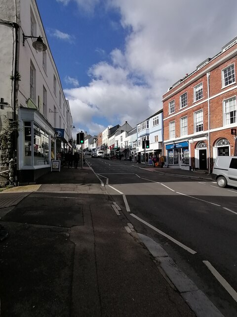
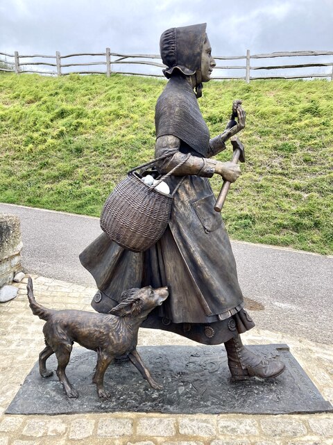
Canary Ledges is a small island located off the coast of Dorset, England. It is situated in the English Channel, approximately 3 miles south of the town of Weymouth. With an area of just over 1 square mile, Canary Ledges is known for its rugged and picturesque landscape.
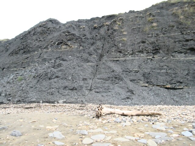
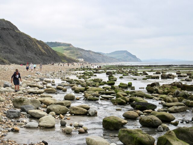
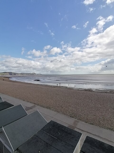
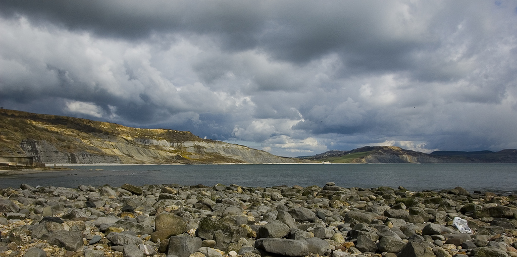
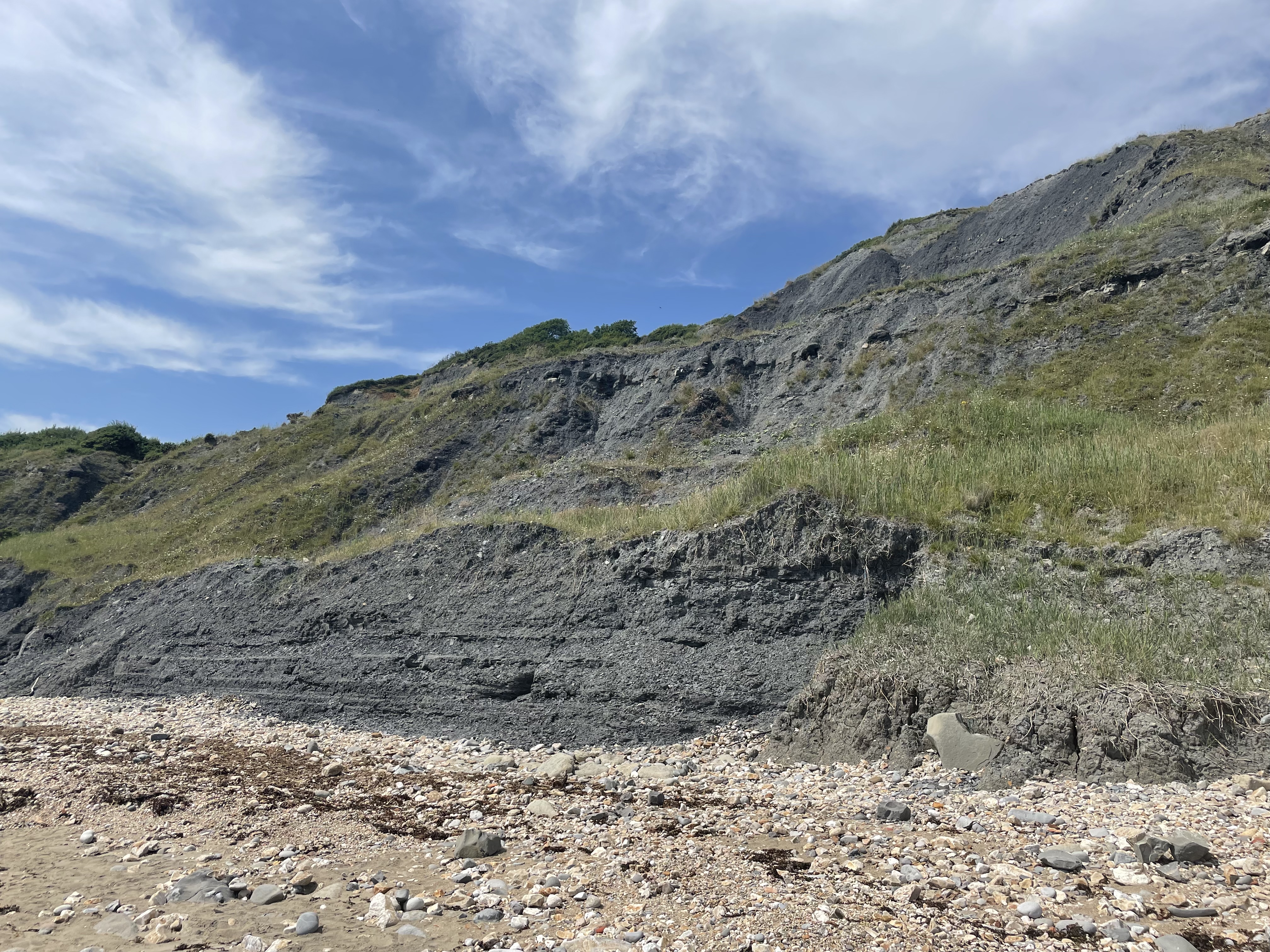
The island is predominantly composed of limestone cliffs, which provide a stunning backdrop against the sparkling blue waters of the Channel. These cliffs are home to a variety of seabirds, including gulls, guillemots, and puffins, making it a popular destination for birdwatchers and nature enthusiasts.
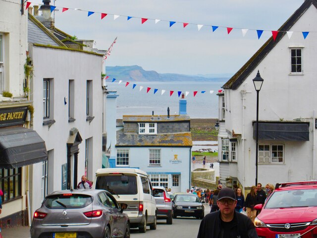
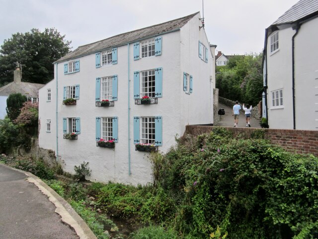
Canary Ledges boasts a small but thriving population of around 200 residents. The island is largely self-sufficient, with its own school, shops, and medical facilities. The main industry on the island is fishing, with many locals relying on the rich waters surrounding Canary Ledges for their livelihoods.
Despite its small size, the island has a rich history. It has been inhabited since prehistoric times, with evidence of human presence dating back thousands of years. Over the centuries, Canary Ledges has been a strategic location for various military operations due to its advantageous position in the Channel.
Access to Canary Ledges is primarily by boat, with regular ferry services operating from Weymouth. The island attracts a steady stream of tourists, particularly during the summer months when visitors flock to enjoy the island's natural beauty and tranquil atmosphere.
In conclusion, Canary Ledges is a charming and idyllic island off the coast of Dorset, offering a unique blend of stunning cliffs, diverse wildlife, and a rich historical heritage.
If you have any feedback on the listing, please let us know in the comments section below.
Canary Ledges Images
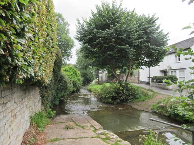
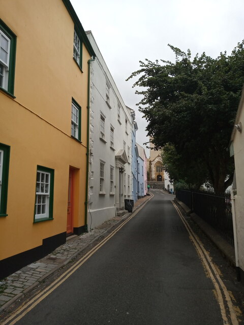
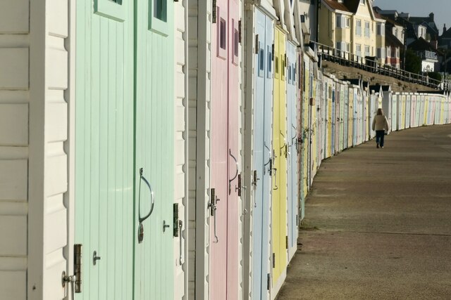
Images are sourced within 2km of 50.731826/-2.9170743 or Grid Reference SY3592. Thanks to Geograph Open Source API. All images are credited.


Canary Ledges is located at Grid Ref: SY3592 (Lat: 50.731826, Lng: -2.9170743)
Unitary Authority: Dorset
Police Authority: Dorset
What 3 Words
///samplers.beam.brisk. Near Charmouth, Dorset
Nearby Locations
Related Wikis
The Spittles
The Spittles is an area of coastal cliff in the county of Dorset on the south coast of England. It is situated between the settlements of Lyme Regis to...
Black Ven
Black Ven is a cliff in Dorset, England between the towns of Charmouth and Lyme Regis. The cliffs reach a height of 130 metres (430 ft). It is part of...

Lyme Regis Cemetery
Lyme Regis Cemetery is the principal cemetery in the English town of Lyme Regis, Dorset. Estimates for the number of burials in the cemetery range from...
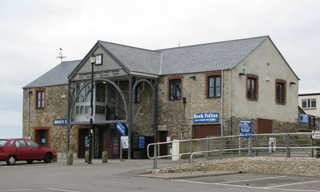
Charmouth Heritage Coast Centre
The Charmouth Heritage Coast Centre is based in the upstairs floor of a long-disused cement factory on the foreshore of Charmouth in Dorset, England. The...
Nearby Amenities
Located within 500m of 50.731826,-2.9170743Have you been to Canary Ledges?
Leave your review of Canary Ledges below (or comments, questions and feedback).