Blaeberry Island
Island in Kirkcudbrightshire
Scotland
Blaeberry Island

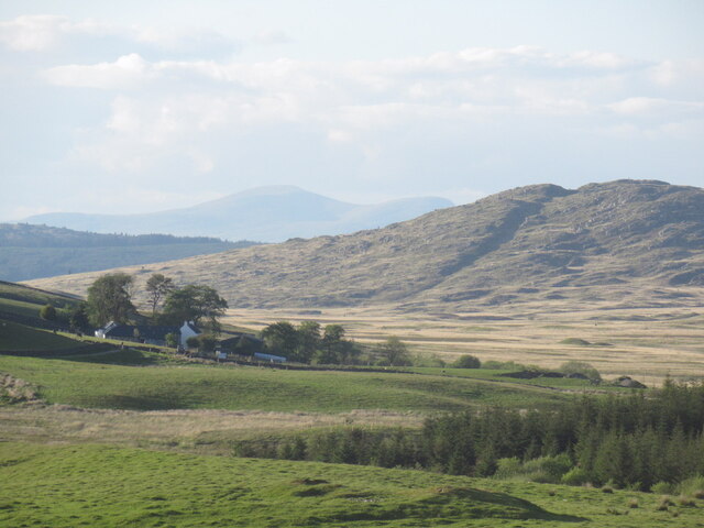
Blaeberry Island, located in the historic county of Kirkcudbrightshire in southwestern Scotland, is a small, uninhabited island nestled in the estuary of the River Dee. With an area of around 1.5 hectares, the island is privately owned and is accessible only by boat.
The island gets its name from the abundance of blaeberry bushes that grow on its rocky terrain. These bushes produce small, dark blue berries, known locally as "blaeberry" or "bilberry," which are a popular ingredient in Scottish cuisine.
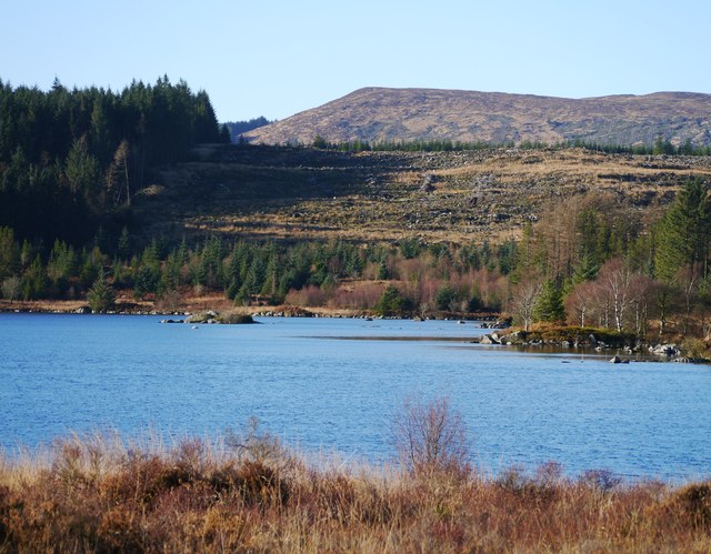
Blaeberry Island is a haven for wildlife enthusiasts, as it provides a sanctuary for various species of birds, including gulls, oystercatchers, and eider ducks. The surrounding waters are also home to seals and occasionally dolphins, making it a popular spot for nature lovers and birdwatchers.
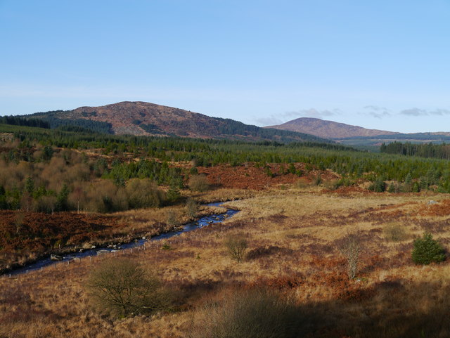
The island's shoreline is rocky and rugged, with small patches of sandy beach. It offers breathtaking views of the surrounding estuary and the nearby town of Kirkcudbright. Visitors can explore the island's trails, which meander through the blaeberry bushes and offer glimpses of its diverse flora and fauna.
Due to its small size and lack of amenities, Blaeberry Island is not suitable for long-term stays or overnight camping. However, it serves as a tranquil destination for day trips, picnics, and nature walks. Visitors can enjoy the peacefulness of the island, soak in its natural beauty, and appreciate the rich biodiversity that thrives in this secluded corner of Kirkcudbrightshire.
If you have any feedback on the listing, please let us know in the comments section below.
Blaeberry Island Images
Images are sourced within 2km of 54.985864/-4.1850483 or Grid Reference NX6067. Thanks to Geograph Open Source API. All images are credited.


Blaeberry Island is located at Grid Ref: NX6067 (Lat: 54.985864, Lng: -4.1850483)
Unitary Authority: Dumfries and Galloway
Police Authority: Dumfries and Galloway
What 3 Words
///label.super.storeroom. Near Castle Douglas, Dumfries & Galloway
Nearby Locations
Related Wikis

Skerrow
Skerrow was a burgh in Dumfries and Galloway, Scotland. Loch Skerrow Halt railway station, on the Portpatrick and Wigtownshire Joint Railway, served Skerrow...
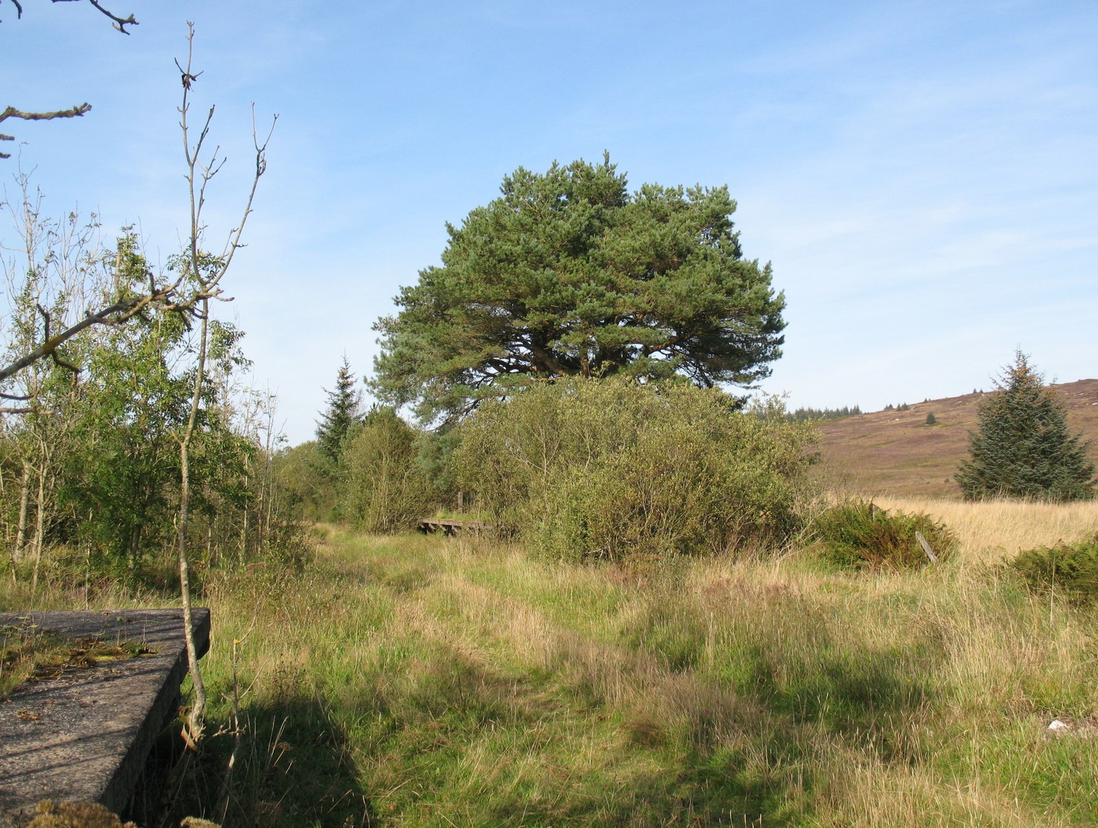
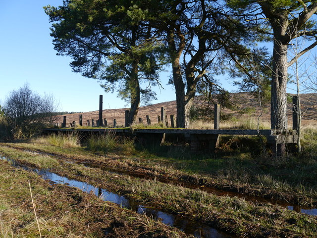
Loch Skerrow Halt railway station
Loch Skerrow Halt railway station served the burgh of Skerrow, Dumfries and Galloway, Scotland on the Portpatrick and Wigtownshire Joint Railway. ��2...

New Galloway railway station
New Galloway railway station served the town of New Galloway in Dumfries and Galloway, Scotland, from 1861 to 1965 on the Portpatrick and Wigtownshire...
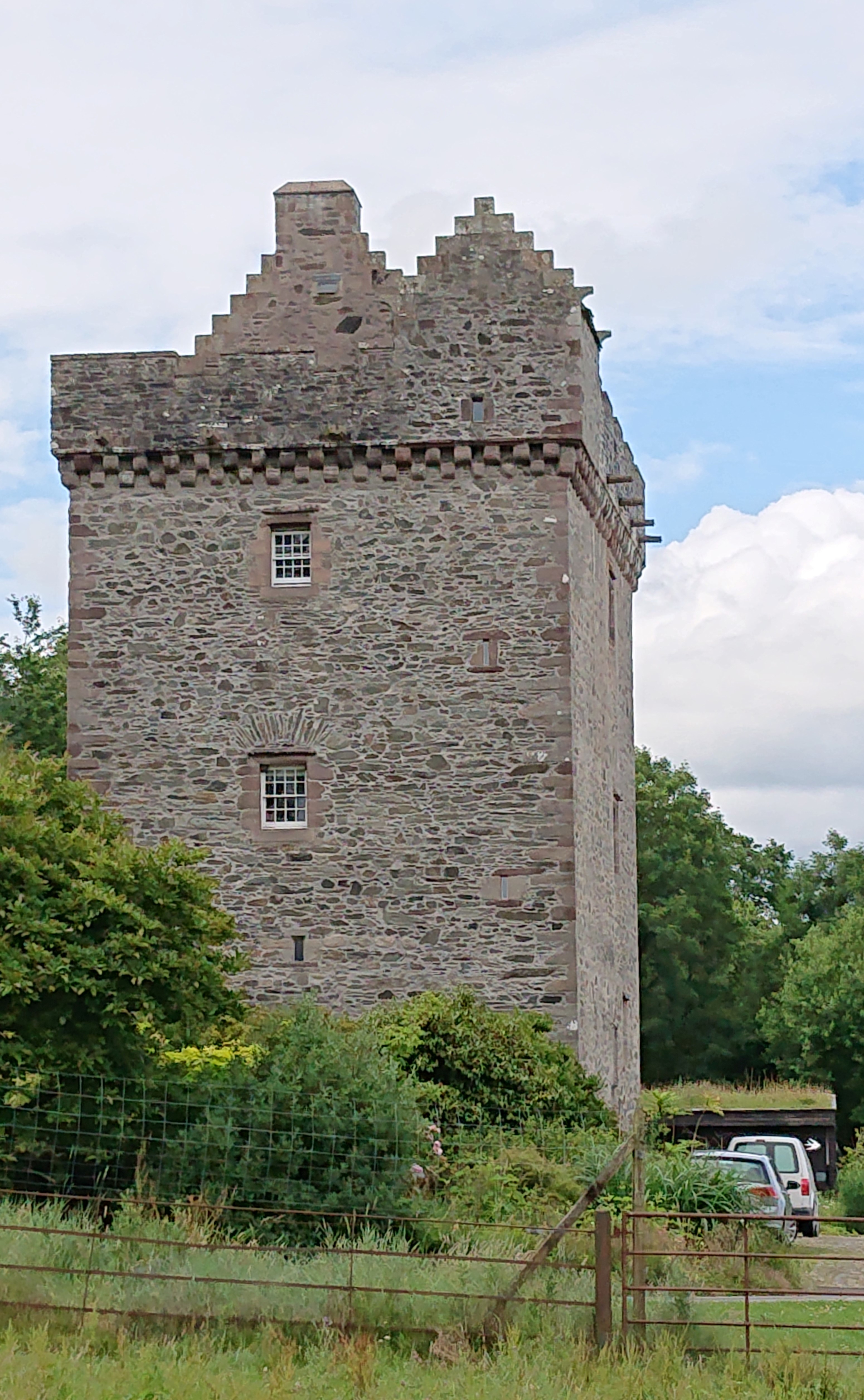
Rusco Tower
Rusco Tower, sometimes called Rusco Castle, is a tower house near Gatehouse of Fleet in Dumfries and Galloway, Scotland. Built around 1500 for Mariota...
Airds of Kells
Airds of Kells is a farm and small estate in the historical county of Kirkcudbrightshire in the parish of Kells, Dumfries and Galloway, Scotland. The...

Galloway
Galloway (Scottish Gaelic: Gall-Ghàidhealaibh [ˈkal̪ˠaɣəl̪ˠu]; Scots: Gallowa; Latin: Gallovidia) is a region in southwestern Scotland comprising the historic...

Gatehouse of Fleet railway station
Gatehouse of Fleet railway station served the town of Gatehouse of Fleet, Dumfries and Galloway, Scotland from 1861 to 1965 on the Portpatrick and Wigtownshire...

Loch Ken
Loch Ken is a 9 miles (14 km) long freshwater loch in the historic county of Kirkcudbrightshire in Dumfries and Galloway, Scotland. It lies in the Glenkens...
Have you been to Blaeberry Island?
Leave your review of Blaeberry Island below (or comments, questions and feedback).