Carreg Mulfran
Island in Cardiganshire
Wales
Carreg Mulfran

Carreg Mulfran is a small island located off the coast of Cardiganshire, Wales. It is situated in Cardigan Bay, approximately 2 miles offshore from the town of Aberystwyth. The island is known for its unique geological formation, which resembles the shape of a raven's beak, giving it its Welsh name that translates to "Raven's Rock."
The island is made up of rugged cliffs and rocky outcrops, with a maximum height of around 50 feet above sea level. It measures approximately 300 meters in length and is surrounded by treacherous waters that pose a challenge for navigation. Due to its isolated location and difficult access, Carreg Mulfran remains uninhabited, serving mainly as a nesting site for various seabirds.
Birdwatchers and naturalists are drawn to the island, as it is home to a diverse range of bird species. Puffins, guillemots, razorbills, and kittiwakes can be spotted nesting on the cliffs, making it a popular destination for bird enthusiasts. The island's vegetation is primarily composed of grasses and hardy shrubs, providing a suitable habitat for nesting birds.
Visitors can reach Carreg Mulfran by boat or kayak, and during low tide, it is possible to walk across the causeway that connects it to the mainland. However, caution is advised, as the strong currents and rapidly rising tides can make access dangerous. The island offers breathtaking views of the Welsh coastline and provides a unique opportunity to observe and appreciate the diverse marine and avian life in the area.
If you have any feedback on the listing, please let us know in the comments section below.
Carreg Mulfran Images
Images are sourced within 2km of 52.476829/-4.0630633 or Grid Reference SN5988. Thanks to Geograph Open Source API. All images are credited.


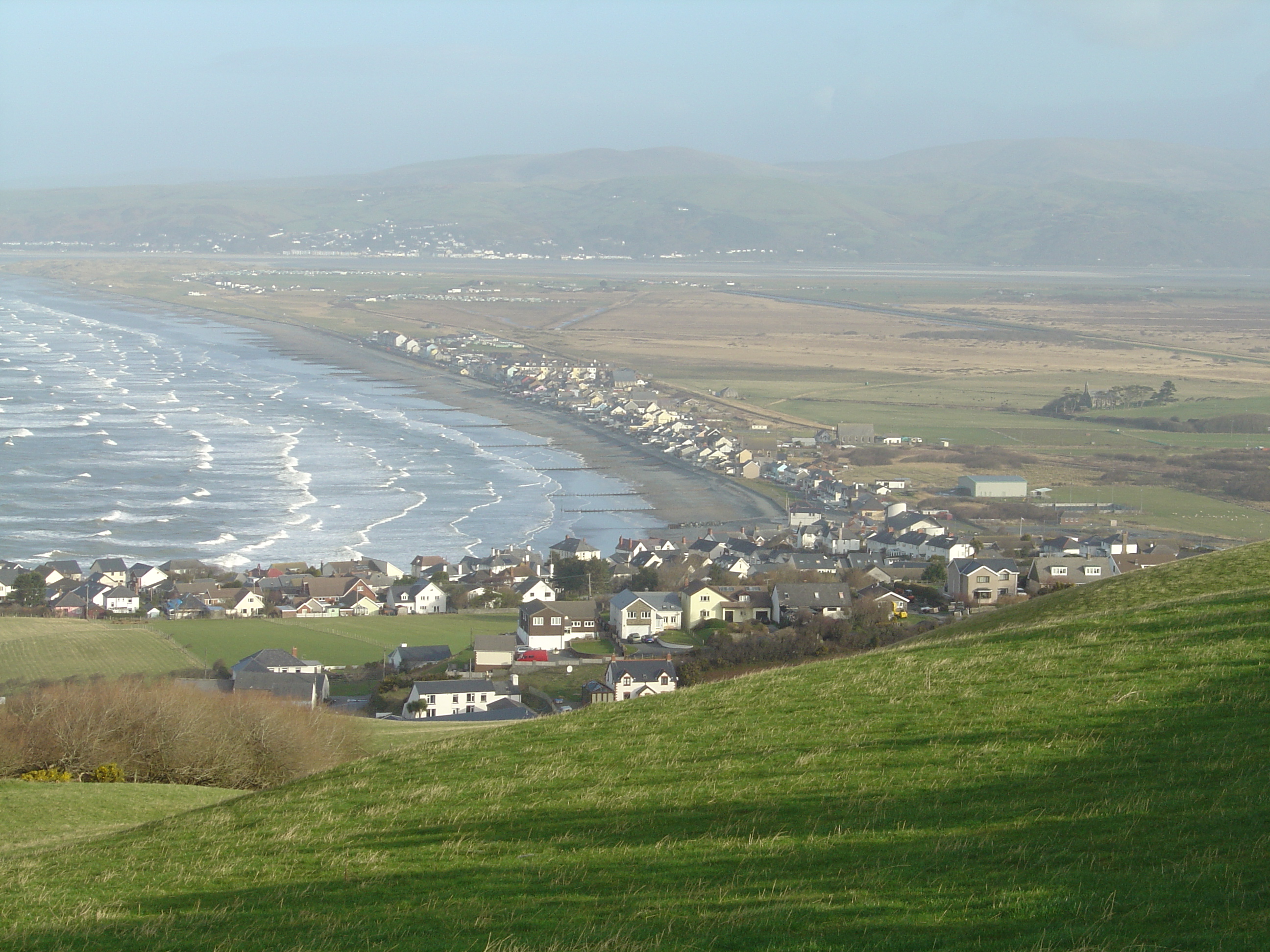
![Looking north from Borth station A mile of quite straight track skirting Cors Fochno [bog].](https://s1.geograph.org.uk/geophotos/07/34/06/7340625_29285091.jpg)


Carreg Mulfran is located at Grid Ref: SN5988 (Lat: 52.476829, Lng: -4.0630633)
Unitary Authority: Ceredigion
Police Authority: Dyfed Powys
What 3 Words
///learns.notebook.interrupt. Near Borth, Ceredigion
Nearby Locations
Related Wikis
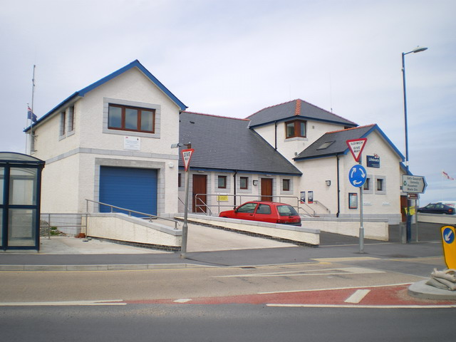
Borth Lifeboat Station
Borth Lifeboat Station (based in Borth, Ceredigion, Wales) was first established by the Royal National Lifeboat Institution (RNLI) in June 1966. The station...

Upper Borth
Upper Borth is a small village in Ceredigion, Wales, part of Borth.
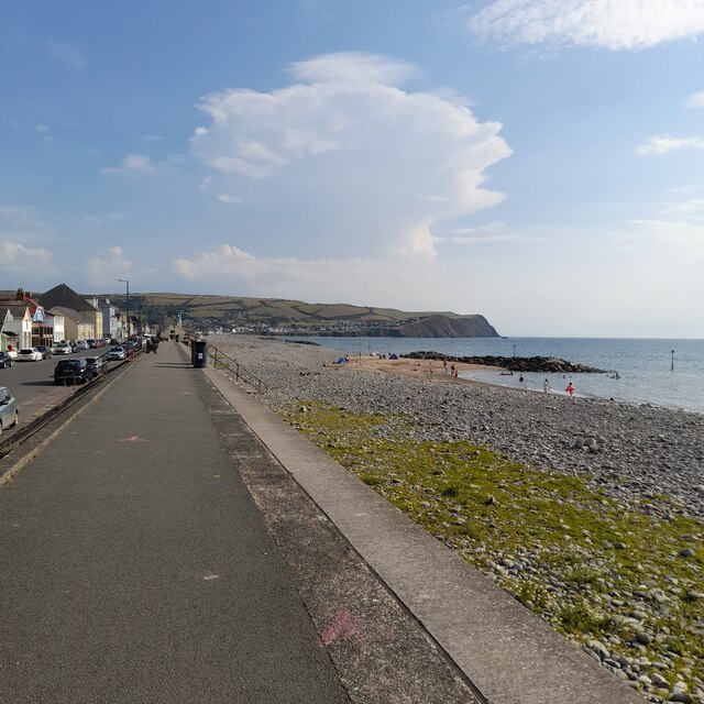
Borth
Borth (Welsh: Y Borth) is a village and seaside resort in Ceredigion, Mid Wales; it is located 7 miles (11 km) north of Aberystwyth, on the Ceredigion...
Glan-y-wern
Glan-y-wern is a hamlet in the community of Borth, Ceredigion, Wales, which is 78.2 miles (125.9 km) from Cardiff and 179.6 miles (289 km) from London...
Nearby Amenities
Located within 500m of 52.476829,-4.0630633Have you been to Carreg Mulfran?
Leave your review of Carreg Mulfran below (or comments, questions and feedback).