Eilean na Craoibhe

Island in Sutherland

Scotland

Eilean na Craoibhe

Frosty Fields at Saval, near Lairg, Sutherland
Frosty Fields at Saval, near Lairg, Sutherland Credit: Andrew Tryon

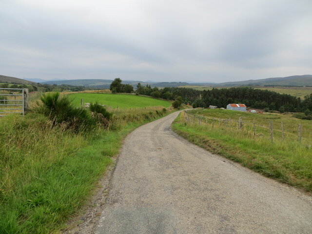
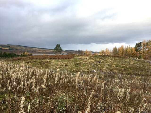
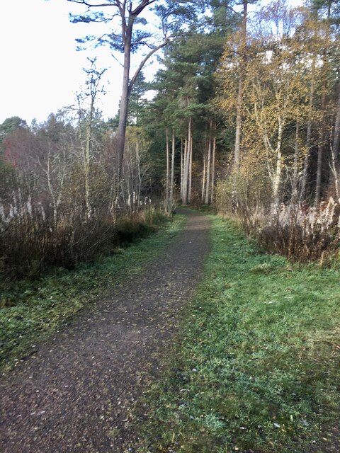
Eilean na Craoibhe, also known as Island of the Trees, is a small uninhabited island located off the northwest coast of Sutherland, Scotland. It is situated in the picturesque Loch Laxford, near the village of Scourie. The island is approximately 2.5 hectares in size and is characterized by its rugged and rocky terrain.

The name "Eilean na Craoibhe" is Gaelic for "Island of the Trees," and it accurately reflects the island's prominent feature. Despite its small size, Eilean na Craoibhe hosts a dense population of various trees, including birch, rowan, and hazel. This abundance of vegetation provides a stark contrast to the surrounding barren landscape, adding to the island's beauty and charm.

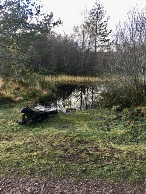
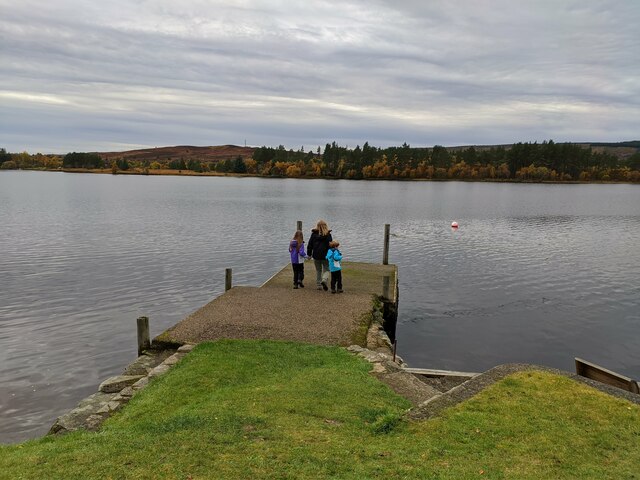
The island is a popular destination for nature enthusiasts and photographers due to its unique flora and fauna. It is home to a variety of bird species, such as oystercatchers and herons, making it a haven for birdwatching. Additionally, seals and otters can often be spotted swimming in the surrounding waters.

Access to Eilean na Craoibhe is mainly by boat, with various boat tours and charters operating in the area. Visitors can explore the island's rocky shoreline, take in the breathtaking views of the surrounding landscape, and enjoy the tranquility that this remote location offers.

Overall, Eilean na Craoibhe is a hidden gem in Sutherland, Scotland, offering a unique natural environment and a peaceful retreat for those seeking solace amidst the stunning Scottish scenery.

If you have any feedback on the listing, please let us know in the comments section below.

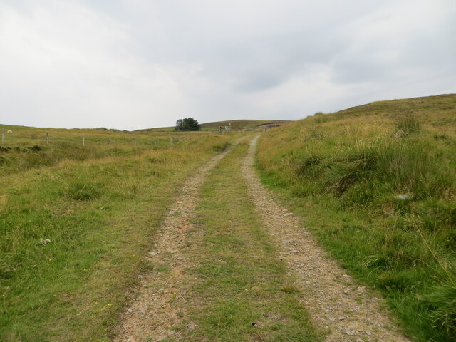
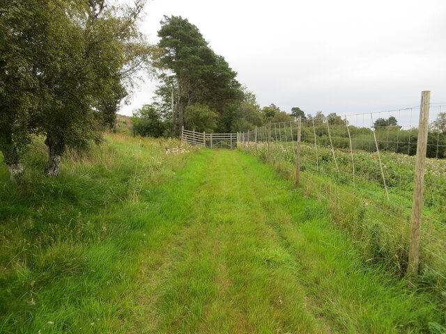
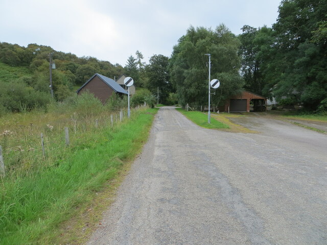
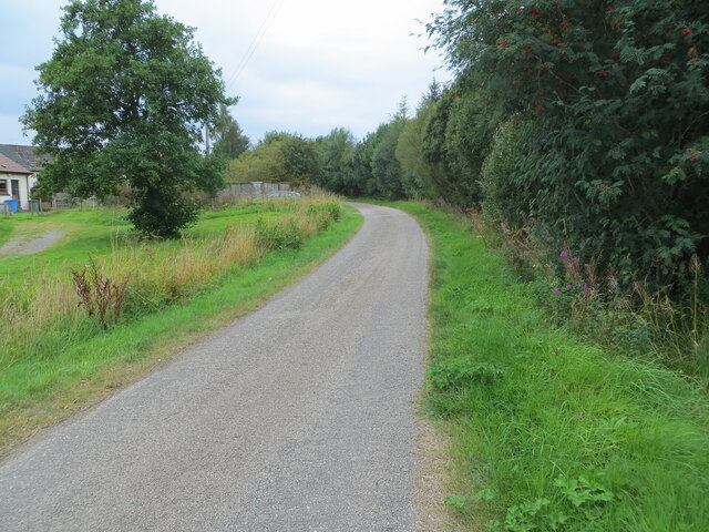
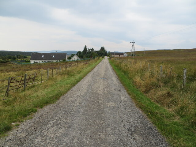
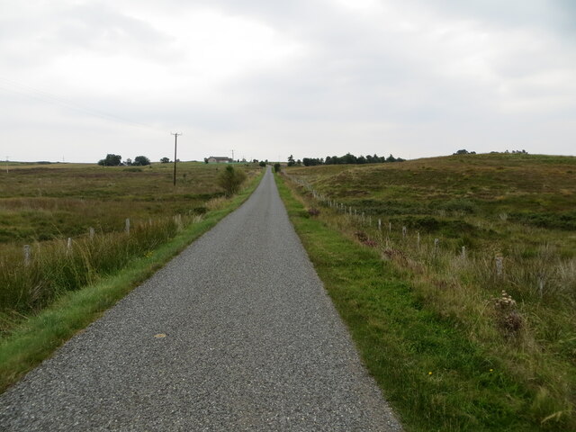
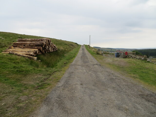
Eilean na Craoibhe Images

Images are sourced within 2km of 58.023591/-4.403667 or Grid Reference NC5806. Thanks to Geograph Open Source API. All images are credited.

Frosty Fields at Saval, near Lairg, Sutherland
Hillside track giving access to a covered reservoir and Carn Liath Looking eastward.
Hillside track giving access to a covered reservoir and Carn Liath
Looking eastward.
Tree-lined road (A836) heading northward from Lairg Looking northward.
Tree-lined road (A836) heading northward from Lairg
Looking northward.
Grass track that gives access to Lairg Lodge Looking south-eastward.
Grass track that gives access to Lairg Lodge
Looking south-eastward.
Minor road to Lairg Muir and Saval Looking eastward.
Minor road to Lairg Muir and Saval
Looking eastward.
Road at Ord Place, Lairg Looking south-westward.
Road at Ord Place, Lairg
Looking south-westward.
Minor road between Saval and Lairg Looking south-westward.
Minor road between Saval and Lairg
Looking south-westward.
Fence-lined minor road between Lairg Muir and Saval Looking north-eastward.
Fence-lined minor road between Lairg Muir and Saval
Looking north-eastward.
Minor road near to Culmaily Cottage Looking south-westward.
Minor road near to Culmaily Cottage
Looking south-westward.
Minor road descending towards the A836 Looking south-westward.
Minor road descending towards the A836
Looking south-westward.
Road (A839) heading in the direction of Claonel Looking south-westward.
Road (A839) heading in the direction of Claonel
Looking south-westward.
Small wildlife pond At the start of several walks in Ferry Wood, Lairg.
Small wildlife pond
At the start of several walks in Ferry Wood, Lairg.
View West From one of the paths around Ferry Wood. Just in the middle ground a part of Loch Shin is visible.
View West
From one of the paths around Ferry Wood. Just in the middle ground a part of Loch Shin is visible.
Path in Ferry Wood.
Path in Ferry Wood.
Start of one of the walks in Ferry Wood, Lairg.
View East across Little Loch Shin There is a Hydro Electric dam at the head of Little Loch Shin. Separating it from the much larger Loch Shin.
View East across Little Loch Shin
There is a Hydro Electric dam at the head of Little Loch Shin. Separating it from the much larger Loch Shin.
Little Loch Shin With our Cocker Spaniel happily waiting in the cold water!
Little Loch Shin
With our Cocker Spaniel happily waiting in the cold water!
Pier outside The Pier restaurant, looking over Little Loch Shin
Show me another place!

Eilean na Craoibhe is located at Grid Ref: NC5806 (Lat: 58.023591, Lng: -4.403667)

Unitary Authority: Highland

Police Authority: Highlands and Islands

What 3 Words

///frock.glorified.straw. Near Lairg, Highland

Related Wikis

Lairg

Lairg (Scottish Gaelic: An Luirg, meaning "the shank/shin") is a village and parish in Sutherland, Scotland. It has a population of 891 and is at the south...

Lairg Gravity Low

The Lairg gravity low is a possible impact crater in Scotland about 40 kilometres in diameter, with a centre near the town of Lairg in the Scottish Highlands...

Saval

Saval (Scottish Gaelic: Sàbhal) is a small remote hamlet, surrounded by Dalchork Wood, 1.5 miles northeast of the village of Lairg, in Sutherland, Scottish...

Gruids

Gruids (Scottish Gaelic: Na Grùidean) is a small remote hamlet, in the council area of Highland, Scotland. == Geography == The village of Lairg which lies...

Nearby Amenities

Located within 500m of 58.023591,-4.403667
Lairg
Is In: Highland
Name Gd: An Luirg
Place: village
Population: 967
Source Population: Census 2011
Wikidata: Q1800753
Wikipedia: en:Lairg
Lat/Long: 58.0256275/-4.3996381
Fuel
Gulf
Brand: Gulf
Brand Wikidata: Q5617505
Brand Wikipedia: en:Gulf Oil LP
Lat/Long: 58.019939/-4.4052815
Post Box
Brand: Royal Mail
Brand Wikidata: Q638098
Mapillary: 310206044565452
Operator: Royal Mail
Operator Wikidata: Q638098
Post Box Mounting: pier
Post Box Type: lamp
Postal Code: IV27
Ref: IV27 1
Survey Date: 2022-06-19
Lat/Long: 58.0274436/-4.4039639
Parking
Lat/Long: 58.0269623/-4.4034176
Lairg Highland Hotel
Addr City: Lairg
Addr Postcode: IV27 4DB
Addr Street: Main Street
Email: reservations@highland-hotel.co.uk
Phone: +44 1549 402243
Tourism: hotel
Website: https://www.highland-hotel.co.uk/
Lat/Long: 58.0234373/-4.3988258
Restaurant
Crofters Restaurant
Note: fixme check name
Source: survey
Lat/Long: 58.023053/-4.395577
Cafe
Community Centre
Lat/Long: 58.0234585/-4.3967992
Historic: memorial
Memorial: war_memorial
Source: survey
Start Date: 1922-09-30
Lat/Long: 58.0255087/-4.4012905
Bus Stop
Post Office
Naptan AtcoCode: 6700712915
Naptan Bearing: E
Naptan CommonName: Post Office
Naptan Indicator: o/s
Naptan Landmark: Post Office
Naptan NaptanCode: 45324829
Naptan Street: Main Street
Naptan Verified: no
Source: naptan_import
Lat/Long: 58.0236202/-4.3986848
Bus Stop
Post Office
Naptan AtcoCode: 6700712915A
Naptan Bearing: W
Naptan CommonName: Post Office
Naptan Indicator: opp
Naptan Landmark: Post Office
Naptan NaptanCode: 45324828
Naptan Street: Main Street
Naptan Verified: no
Source: naptan_import
Lat/Long: 58.0235984/-4.3991914
Bus Stop
Primary School
Naptan AtcoCode: 6700713394
Naptan Bearing: S
Naptan CommonName: Primary School
Naptan Indicator: o/s
Naptan Landmark: Primary School
Naptan NaptanCode: 45324827
Naptan Street: Primary School Road
Naptan Verified: no
Source: naptan_import
Lat/Long: 58.0234/-4.3973569
Bus Stop
A836 and A839 Junction
Naptan AtcoCode: 6700713396
Naptan Bearing: N
Naptan CommonName: A836 and A839 Junction
Naptan Indicator: opp Junction
Naptan Landmark: (A839) Main Street
Naptan NaptanCode: 45324826
Naptan Street: A836
Naptan Verified: no
Source: naptan_import
Lat/Long: 58.0242983/-4.4021004
Bus Stop
A836 and A839 Junction
Naptan AtcoCode: 6700713396A
Naptan Bearing: S
Naptan CommonName: A836 and A839 Junction
Naptan Indicator: at Junction
Naptan Landmark: (A839) Main Street
Naptan NaptanCode: 45324825
Naptan Street: A836
Naptan Verified: no
Source: naptan_import
Lat/Long: 58.0244944/-4.4017071
Park House
Tourism: guest_house
Website: http://www.parkhousesporting.com/
Lat/Long: 58.0229871/-4.402426
Entrance: main
Lat/Long: 58.0242069/-4.3963763
Telephone
Booth: KX100
Operator: BT
Phone: +44 1549 402185
Source: survey
Lat/Long: 58.0236038/-4.3986415
Recycling
Recycling Clothes: yes
Recycling Glass Bottles: yes
Recycling Type: container
Lat/Long: 58.0248706/-4.4010596
Post Box
Brand: Royal Mail
Brand Wikidata: Q638098
Operator: Royal Mail
Operator Wikidata: Q638098
Post Box Mounting: building
Post Box Type: wall
Source: survey
Lat/Long: 58.0236674/-4.3988171
Bench
Backrest: yes
Check Date: 2023-07-29
Material: wood
Lat/Long: 58.025727/-4.4007674
Bench
Backrest: yes
Check Date: 2023-07-29
Material: wood
Lat/Long: 58.0254813/-4.401108
Bench
Backrest: yes
Check Date: 2023-07-29
Material: wood
Lat/Long: 58.0253009/-4.4012046
Covered: yes
Leisure: picnic_table
Material: wood
Lat/Long: 58.0250794/-4.4013226
Bench
Backrest: yes
Check Date: 2023-07-29
Material: wood
Lat/Long: 58.0250779/-4.4012851
Bench
Backrest: yes
Material: wood
Lat/Long: 58.0242975/-4.4015667
The wee hoose
Tourism: attraction
Lat/Long: 58.0235843/-4.4036431
Power: pole
Lat/Long: 58.0193049/-4.4014762
Power: pole
Lat/Long: 58.0200741/-4.4016748
Power: pole
Lat/Long: 58.0206576/-4.400495
Power: pole
Lat/Long: 58.0210649/-4.3996988
Power: pole
Lat/Long: 58.0214989/-4.398852
Power: pole
Lat/Long: 58.0220866/-4.397684
Power: pole
Lat/Long: 58.022466/-4.3969169
The Sutherland Sporting Company
Clothes: tweed
Shop: clothes
Lat/Long: 58.0233618/-4.398551
Charging Station
Capacity: 3
Operator: ChargePlace Scotland
Lat/Long: 58.0247599/-4.4016329
Post Box
Drive Through: no
Not Operator Wikidata: Q1783168
Operator: Post Office
Post Box Type: lamp
Lat/Long: 58.0199424/-4.4054924
Power: pole
Lat/Long: 58.0196696/-4.404677
The data included in this document is from www.openstreetmap.org. The data is made available under ODbL.

Have you been to Eilean na Craoibhe?

Leave your review of Eilean na Craoibhe below (or comments, questions and feedback).