Lairg Muir

Downs, Moorland in Sutherland

Scotland

Lairg Muir

Frosty Fields at Saval, near Lairg, Sutherland
Frosty Fields at Saval, near Lairg, Sutherland Credit: Andrew Tryon

The requested URL returned error: 429 Too Many Requests

If you have any feedback on the listing, please let us know in the comments section below.
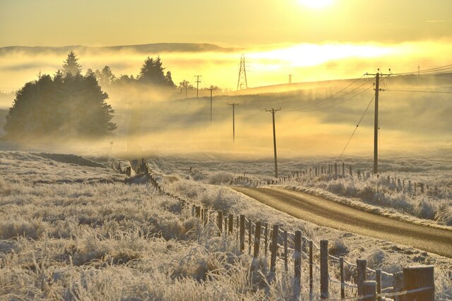
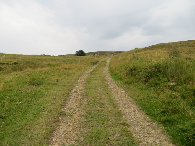
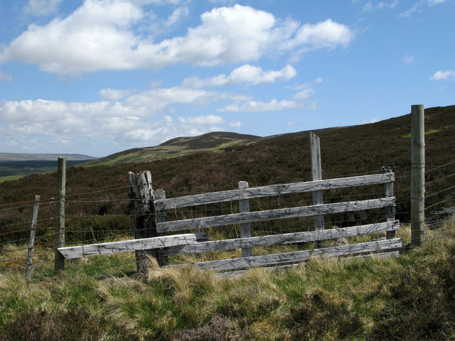
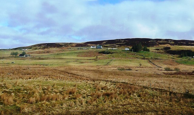
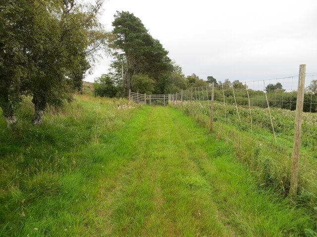
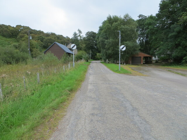
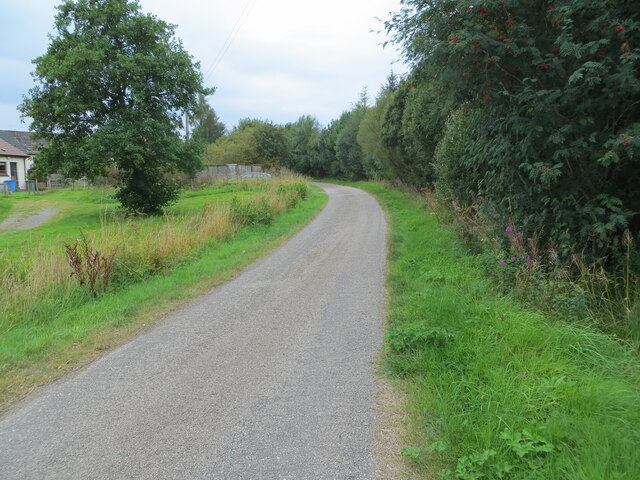
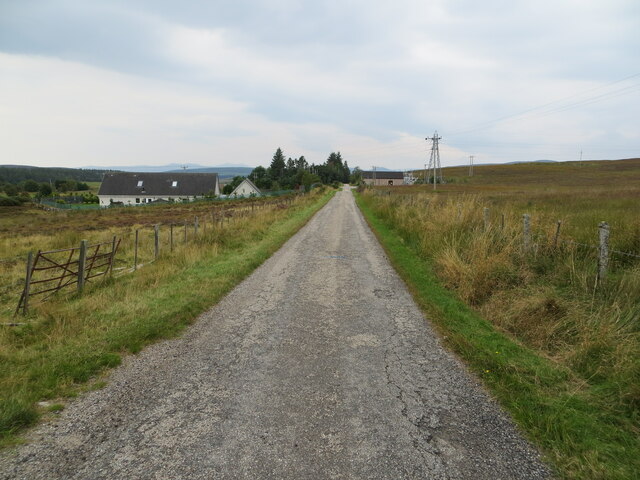
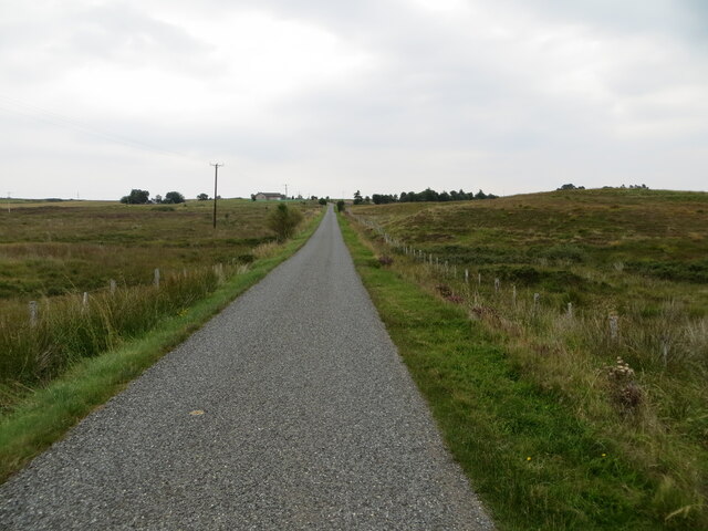
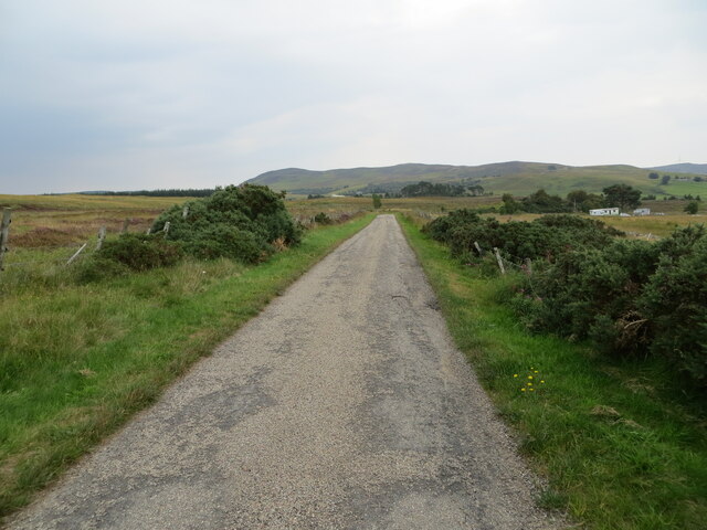
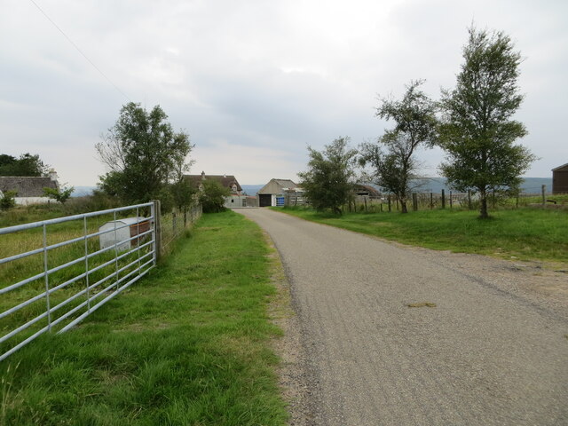
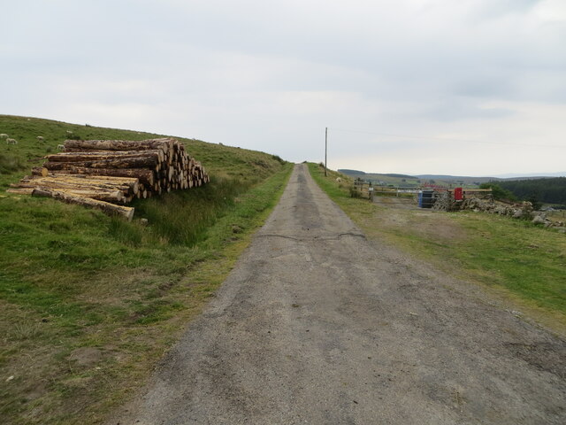
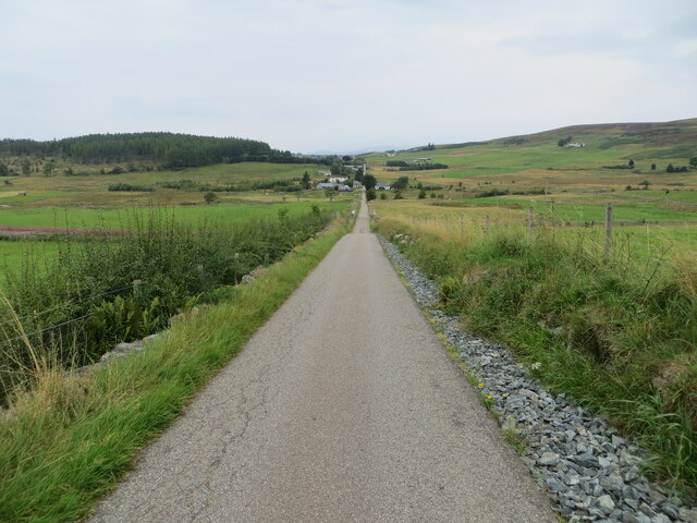
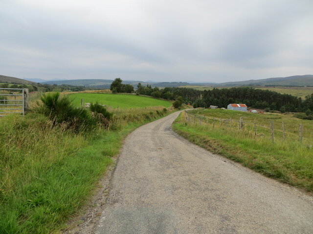
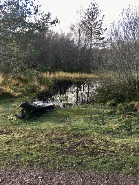
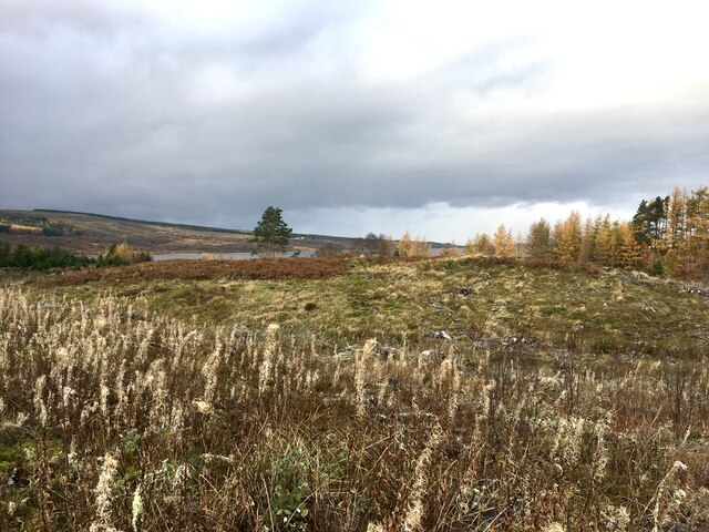
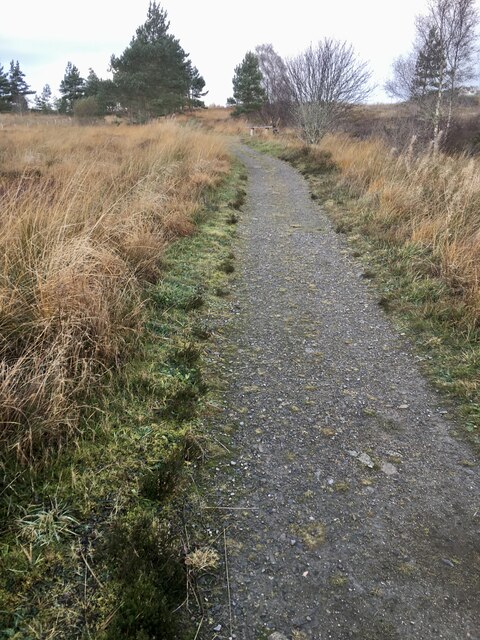
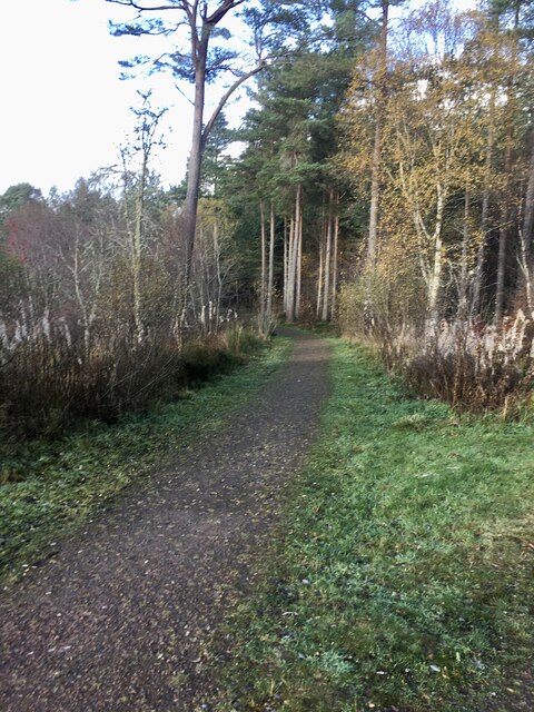
Lairg Muir Images

Images are sourced within 2km of 58.027322/-4.3916214 or Grid Reference NC5806. Thanks to Geograph Open Source API. All images are credited.

Frosty Fields at Saval, near Lairg, Sutherland
Hillside track giving access to a covered reservoir and Carn Liath Looking eastward.
Hillside track giving access to a covered reservoir and Carn Liath
Looking eastward.
Fence with heather moorland and Meall Dola distant Meall Dola seen over heather moorland from a farm road heading towards the hill.
Fence with heather moorland and Meall Dola distant
Meall Dola seen over heather moorland from a farm road heading towards the hill.
Balloan View A late-March view of upland ground showing improved land and rough grazing near Balloan, taken from a train between Lairg and Rogart.
Balloan View
A late-March view of upland ground showing improved land and rough grazing near Balloan, taken from a train between Lairg and Rogart.
Grass track that gives access to Lairg Lodge Looking south-eastward.
Grass track that gives access to Lairg Lodge
Looking south-eastward.
Minor road to Lairg Muir and Saval Looking eastward.
Minor road to Lairg Muir and Saval
Looking eastward.
Road at Ord Place, Lairg Looking south-westward.
Road at Ord Place, Lairg
Looking south-westward.
Minor road between Saval and Lairg Looking south-westward.
Minor road between Saval and Lairg
Looking south-westward.
Fence-lined minor road between Lairg Muir and Saval Looking north-eastward.
Fence-lined minor road between Lairg Muir and Saval
Looking north-eastward.
Fence and bush-lined minor road near to Saval Looking south-eastward.
Fence and bush-lined minor road near to Saval
Looking south-eastward.
The end of the public road at Savalmore and Saval West Looking south-westward.
The end of the public road at Savalmore and Saval West
Looking south-westward.
Minor road near to Culmaily Cottage Looking south-westward.
Minor road near to Culmaily Cottage
Looking south-westward.
Minor road and bridge crossing the Inverness to Wick railway line Looking northward in the direction of Balloan.
Minor road and bridge crossing the Inverness to Wick railway line
Looking northward in the direction of Balloan.
Minor road descending towards the A836 Looking south-westward.
Minor road descending towards the A836
Looking south-westward.
Small wildlife pond At the start of several walks in Ferry Wood, Lairg.
Small wildlife pond
At the start of several walks in Ferry Wood, Lairg.
View West From one of the paths around Ferry Wood. Just in the middle ground a part of Loch Shin is visible.
View West
From one of the paths around Ferry Wood. Just in the middle ground a part of Loch Shin is visible.
Path in Ferry Wood.
Path in Ferry Wood.
Start of one of the walks in Ferry Wood, Lairg.
Show me another place!

Lairg Muir is located at Grid Ref: NC5806 (Lat: 58.027322, Lng: -4.3916214)

Unitary Authority: Highland

Police Authority: Highlands and Islands

What 3 Words

///vibrating.extremes.explain. Near Lairg, Highland

Related Wikis

Lairg

Lairg (Scottish Gaelic: An Luirg, meaning "the shank/shin") is a village and parish in Sutherland, Scotland. It has a population of 891 and is at the south...

Lairg Gravity Low

The Lairg gravity low is a possible impact crater in Scotland about 40 kilometres in diameter, with a centre near the town of Lairg in the Scottish Highlands...

Saval

Saval (Scottish Gaelic: Sàbhal) is a small remote hamlet, surrounded by Dalchork Wood, 1.5 miles northeast of the village of Lairg, in Sutherland, Scottish...

Lairg railway station

Lairg railway station is a railway station just south of the village of Lairg in the Highland council area of Scotland. The station is on the Far North...

Related Videos

Lairg - Scottish Highlands

Central Sutherland area guides: https://www.venture-north.co.uk/guides/sutherland-central Be amazed by the beautiful centre of ...

Road Trip up to the North of the Scottish Highlands | Ben Hope Munro |

A little trip up north to complete the most northern munro with my bestie grant. we had set off with the idea of going west but made ...

Scottish Highlands, Lairg & Tongue, Sutherland, Scotland - Part 1

Visiting The Scottish Highlands - Lairg and Tongue, Sutherland, Scotland - Part 1. In the first of a five part series exploring all my ...

Wailing Widow Falls

Rather overcast morning at the fabulous Wailing Widow Falls, which are located between Loch Assynt and the Kylesku Bridge, the ...

Nearby Amenities

Located within 500m of 58.027322,-4.3916214
Power: pole
Lat/Long: 58.0304407/-4.3924587
Power: tower
Lat/Long: 58.0243954/-4.3859537
Power: pole
Lat/Long: 58.0310124/-4.3900008
Power: pole
Lat/Long: 58.0299403/-4.3866701
Power: pole
Lat/Long: 58.0305964/-4.3937139
Power: tower
Lat/Long: 58.0281328/-4.3902791
Power: tower
Lat/Long: 58.0264054/-4.3882716
Power: tower
Lat/Long: 58.0306805/-4.3931527
Entrance: main
Lat/Long: 58.0242069/-4.3963763
Barrier: cattle_grid
Source: survey
Lat/Long: 58.0278133/-4.3871545
Barrier: cycle_barrier
Lat/Long: 58.0236039/-4.3951036
Power: pole
Lat/Long: 58.0309141/-4.3956044
Power: pole
Lat/Long: 58.0307552/-4.3946591
Power: pole
Lat/Long: 58.0306687/-4.3914786
Power: pole
Lat/Long: 58.0304589/-4.3879006
Power: pole
Lat/Long: 58.03075/-4.3890052
Power: pole
Lat/Long: 58.0286994/-4.3838873
Power: pole
Lat/Long: 58.029484/-4.3856989
Power: pole
Lat/Long: 58.0291023/-4.3848175
Power: pole
Lat/Long: 58.0301767/-4.3928924
Power: pole
Lat/Long: 58.0299012/-4.3926081
Power: pole
Lat/Long: 58.0292962/-4.3919161
Power: pole
Lat/Long: 58.0286244/-4.3912134
Power: pole
Lat/Long: 58.0280222/-4.390575
Power: pole
Lat/Long: 58.0272297/-4.3896899
Power: pole
Lat/Long: 58.0266588/-4.3890059
Power: pole
Lat/Long: 58.026102/-4.3883193
Power: pole
Lat/Long: 58.0253137/-4.3873912
Power: pole
Lat/Long: 58.0249075/-4.3868843
Power: pole
Lat/Long: 58.0243365/-4.3861949
Power: pole
Lat/Long: 58.0314497/-4.3917318
Power: pole
Lat/Long: 58.0307797/-4.3925767
Power: pole
Lat/Long: 58.0307302/-4.3926409
Power: pole
Lat/Long: 58.0276993/-4.3888273
Power: pole
Lat/Long: 58.0272086/-4.3877391
Power: pole
Lat/Long: 58.0267169/-4.3866839
Power: pole
Lat/Long: 58.0262973/-4.3857573
Power: pole
Lat/Long: 58.0258386/-4.3847489
Power: pole
Lat/Long: 58.0258675/-4.3930283
Power: pole
Lat/Long: 58.0258932/-4.3912958
Power: pole
Lat/Long: 58.0248149/-4.3937983
Power: pole
Lat/Long: 58.0248655/-4.3937652
Power: pole
Lat/Long: 58.0253592/-4.3934021
Power: pole
Lat/Long: 58.0264953/-4.3925611
Power: pole
Lat/Long: 58.0271004/-4.3921066
Power: pole
Lat/Long: 58.0279755/-4.3914622
Power: pole
Lat/Long: 58.0267169/-4.3970503
Power: pole
Lat/Long: 58.0257211/-4.3956243
Power: pole
Lat/Long: 58.0261747/-4.3962765
Power: pole
Lat/Long: 58.0271952/-4.3977501
Power: pole
Lat/Long: 58.0277003/-4.3986164
Power: pole
Lat/Long: 58.0281198/-4.3990875
Lairg Muir
Place: hamlet
Lat/Long: 58.0279186/-4.391797
Clais nam Buaile
Place: locality
Lat/Long: 58.0286675/-4.3969469
The data included in this document is from www.openstreetmap.org. The data is made available under ODbL.

Have you been to Lairg Muir?

Leave your review of Lairg Muir below (or comments, questions and feedback).