Briedach

Island in Perthshire

Scotland

Briedach

Eilean Gorm island bothy, Loch Ard, The Trossachs A bothy upon a lake island- visits and stays are allowed.
Eilean Gorm island bothy, Loch Ard, The Trossachs Credit: Kim McGillivray

The requested URL returned error: 429 Too Many Requests

If you have any feedback on the listing, please let us know in the comments section below.
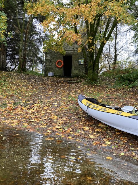
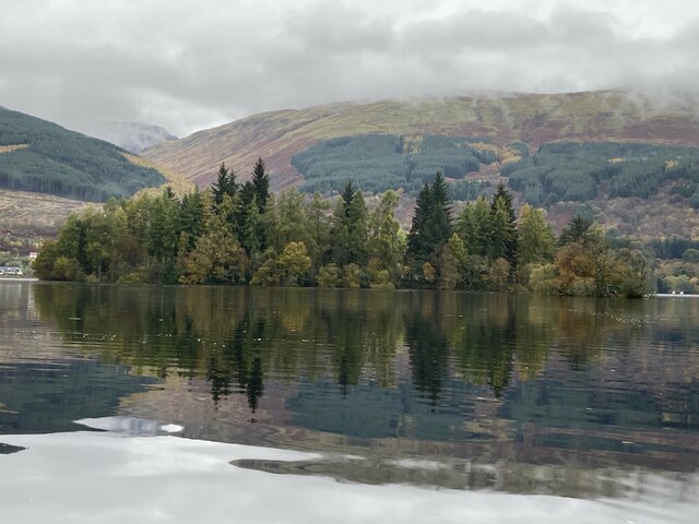
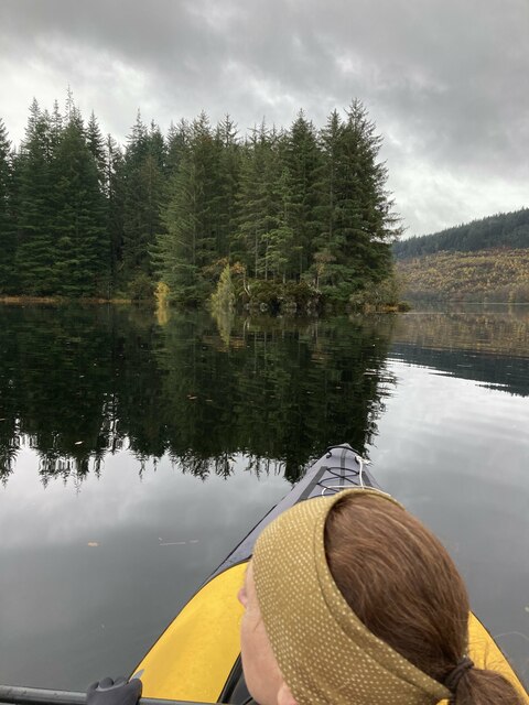
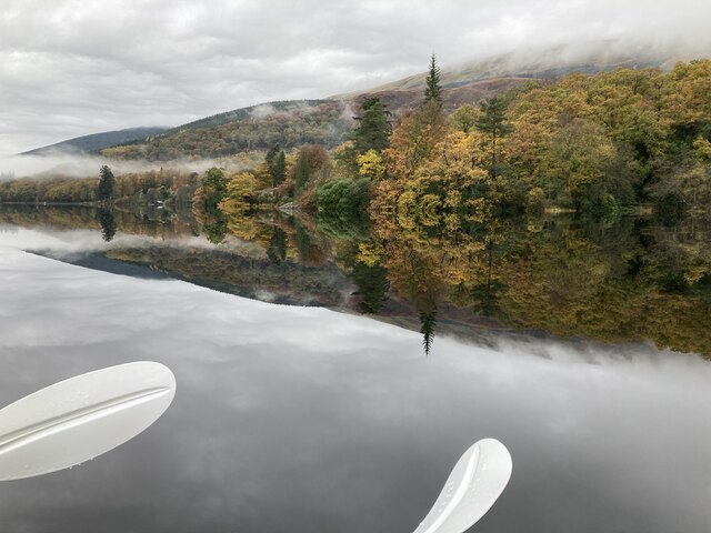
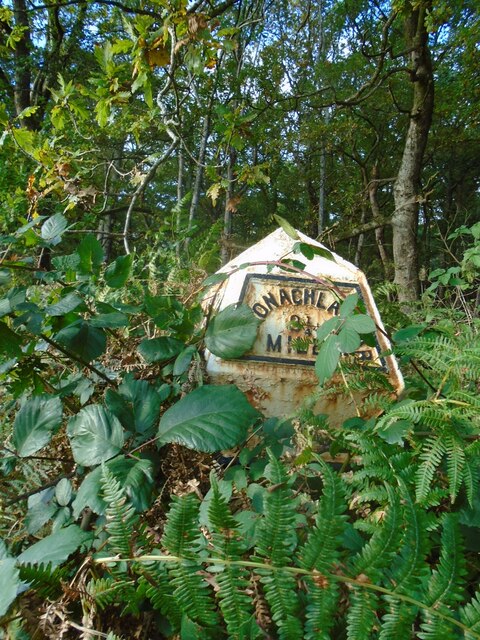
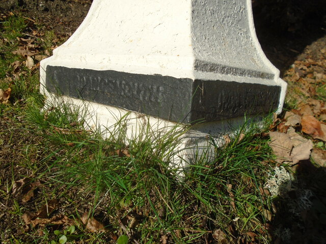
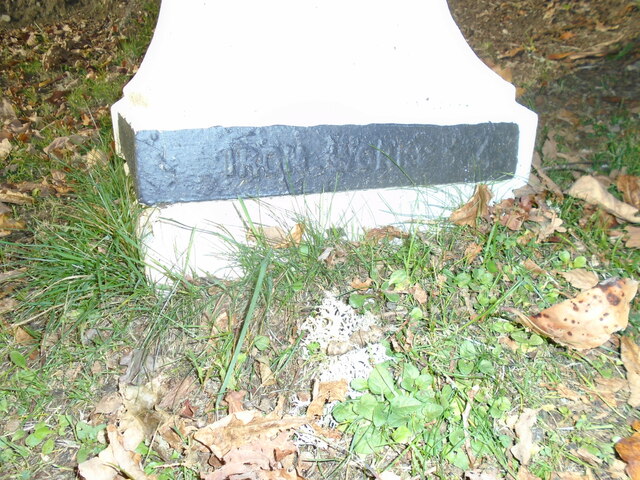
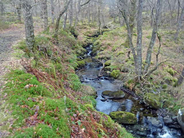
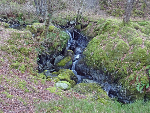
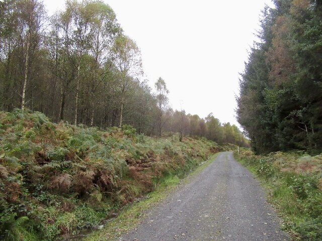
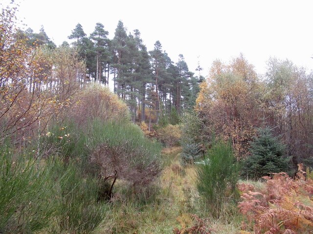
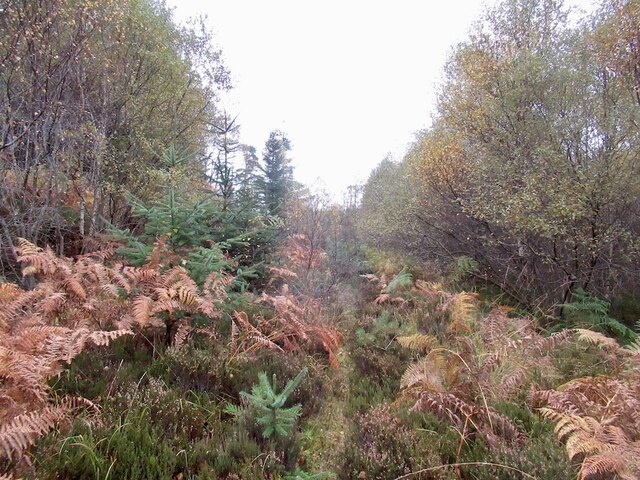
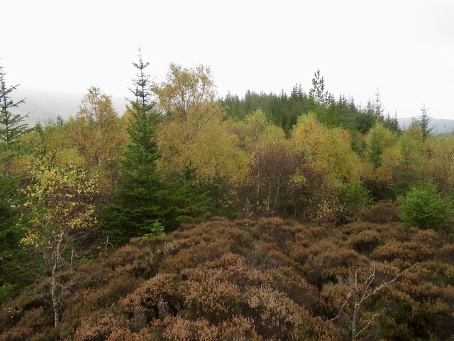
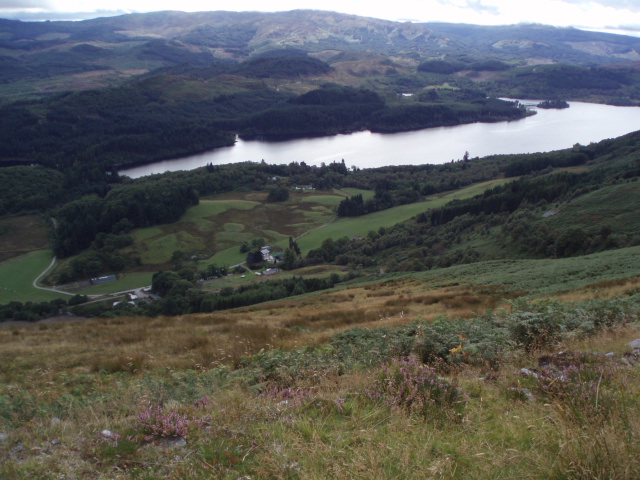
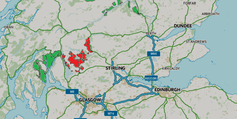
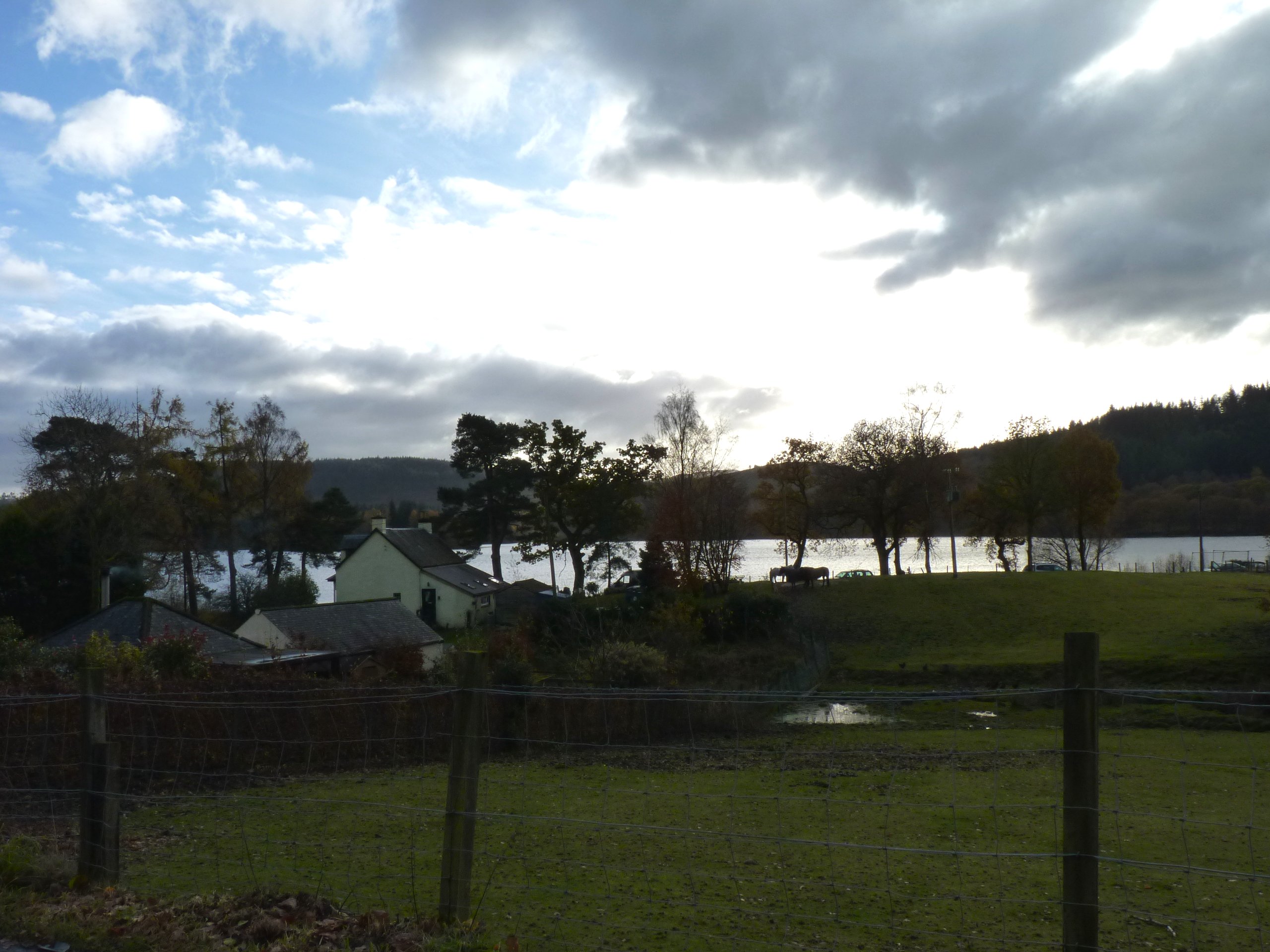
Briedach Images

Images are sourced within 2km of 56.182384/-4.4598606 or Grid Reference NN4701. Thanks to Geograph Open Source API. All images are credited.

Eilean Gorm island bothy, Loch Ard, The Trossachs A bothy upon a lake island- visits and stays are allowed.
Eilean Gorm island bothy, Loch Ard, The Trossachs
A bothy upon a lake island- visits and stays are allowed.
Eilean Gorm, Loch Ard, The Trossachs Looking north north east, from a kayak, at the lake island of Eilean Gorm.
Eilean Gorm, Loch Ard, The Trossachs
Looking north north east, from a kayak, at the lake island of Eilean Gorm.
Loch Ard Forest, The Trossachs The extensive forest that extends from the southern shore of Loch Ard. On the right is a narrow passage into an inlet bay of the loch.
Loch Ard Forest, The Trossachs
The extensive forest that extends from the southern shore of Loch Ard. On the right is a narrow passage into an inlet bay of the loch.
Woodlands on north shore of Loch Ard, The Trossachs Autumnal woodland colours on a flat-calm day.
Woodlands on north shore of Loch Ard, The Trossachs
Autumnal woodland colours on a flat-calm day.
Old milepost Another neglected milepost on the B829 from Aberfoyle in the woods at Laraich.   In 2009 it was well painted although not set to its full height.  It is an original casting made at the Grangemouth Ironworks.
Old milepost
Another neglected milepost on the B829 from Aberfoyle in the woods at Laraich. In 2009 it was well painted although not set to its full height. It is an original casting made at the Grangemouth Ironworks.
Old milepost This original Grangemouth Ironworks milepost is 3 miles from Aberfoyle on the north side of the road, B829, bordering Loch Ard.   In autumn 2021 it is almost hidden in the brambles and bracken.
Old milepost
This original Grangemouth Ironworks milepost is 3 miles from Aberfoyle on the north side of the road, B829, bordering Loch Ard. In autumn 2021 it is almost hidden in the brambles and bracken.
Old milepost On the B829, the 4 miles from Aberfoyle milepost is on the verge in front of a hotel and is well maintained.   This picture shows the makers name each side of the base, GRANGEMOUTH on the left side, IRONWORKS on the right.
Old milepost
On the B829, the 4 miles from Aberfoyle milepost is on the verge in front of a hotel and is well maintained. This picture shows the makers name each side of the base, GRANGEMOUTH on the left side, IRONWORKS on the right.
Old milepost IRONWORKS 4 can be seen on the right-hand side of the base of the milepost 4 miles from Aberfoyle along the B829.  The original Grangemouth Ironworks was operational from 1884-1900.
Old milepost
IRONWORKS 4 can be seen on the right-hand side of the base of the milepost 4 miles from Aberfoyle along the B829. The original Grangemouth Ironworks was operational from 1884-1900.
Ledard Burn, Winter Taken from a similar position as this photograph here:- <a title="https://www.geograph.org.uk/photo/6145723" href="https://www.geograph.org.uk/photo/6145723">Link</a> taken in spring nearly 3 years ago. Less vegetation and therefore more muted colours are the difference. It is a lovely spot at any time of year.
Ledard Burn, Winter
Taken from a similar position as this photograph here:- Link taken in spring nearly 3 years ago. Less vegetation and therefore more muted colours are the difference. It is a lovely spot at any time of year.
Little Falls Lovely little waterfalls on the Ledard Burn near Kinlochard in the Trossachs, with Oaks and Alders surrounding the burn.
Little Falls
Lovely little waterfalls on the Ledard Burn near Kinlochard in the Trossachs, with Oaks and Alders surrounding the burn.
Logging road, Loch Ard Forest High on Uamh Mhòr one of the many rocky ridges under the trees.
Logging road, Loch Ard Forest
High on Uamh Mhòr one of the many rocky ridges under the trees.
Old extraction track, Uamh Mhòr A now overgrown and rotting track made up of small logs. It would have been used for timber extraction. As the slope overlooks Loch Ard, it was not clear felled for scenery preservation reasons and there are now some large trees growing here, trees which would not have survived were this deeper in the forest.
Old extraction track, Uamh Mhòr
A now overgrown and rotting track made up of small logs. It would have been used for timber extraction. As the slope overlooks Loch Ard, it was not clear felled for scenery preservation reasons and there are now some large trees growing here, trees which would not have survived were this deeper in the forest.
Summit, Uamh Mhòr A small clearing on a steep sided ridge.
Summit, Uamh Mhòr
A small clearing on a steep sided ridge.
Statute Labour Road Loch Ard Forest.  It appears that the code letters at junctions has been abandoned, this was a useful tool for navigating the track network, but there are signposts. The white posts with what appears to be a sign forbidding Norway, are marking an electricity cable. The sign is no digging.
Statute Labour Road
Loch Ard Forest. It appears that the code letters at junctions has been abandoned, this was a useful tool for navigating the track network, but there are signposts. The white posts with what appears to be a sign forbidding Norway, are marking an electricity cable. The sign is no digging.
Statute Labour Road Passing the horribly inaccessible Bad Dearg (left). Lovely birch wood though.
Statute Labour Road
Passing the horribly inaccessible Bad Dearg (left). Lovely birch wood though.
Loch Ard Forest A hillside where the conifer plantation was felled and not replanted leading to colonisation by birch.
Loch Ard Forest
A hillside where the conifer plantation was felled and not replanted leading to colonisation by birch.
Overgrown road, Loch Ard Forest
Summit ridge, Bad Dearg Purgatorial going in deep heather growing over the rotting remains of the conifers that once stood here. I have been here before, orienteering in 1980. That was brutal too.
Summit ridge, Bad Dearg
Purgatorial going in deep heather growing over the rotting remains of the conifers that once stood here. I have been here before, orienteering in 1980. That was brutal too.
Show me another place!

Briedach is located at Grid Ref: NN4701 (Lat: 56.182384, Lng: -4.4598606)

Unitary Authority: Stirling

Police Authority: Forth Valley

What 3 Words

///clearing.compelled.slugs. Near Balfron, Stirling

Nearby Locations

Loch Ard Briedach

Related Wikis

Loch Ard

Loch Ard (Scottish Gaelic: Loch na h-Àirde) is a loch, located in Loch Lomond and the Trossachs National Park, Stirling council area, Scotland. == Overview... ==

Queen Elizabeth Forest Park

Queen Elizabeth Forest Park is a 19,665-hectare (48,590-acre) forest park in the Scottish Highlands which extends from the eastern shores of Loch Lomond...

Kinlochard

Kinlochard is a village in Stirling, Scotland. It lies to the western end of Loch Ard. Children in Kinlochard attend Aberfoyle Primary School and eventually...

Beinn an Fhogharaidh

Beinn an Fhogharaidh is a mountain ridge, 616 metres (2,021 ft) high, in the southern Scottish Highlands near the village of Aberfoyle in Stirling council...

Related Videos

Loch Ard , Loch Lomond and Trossachs #loch #scotland #nature #beauty #shorts #walking #wildcamping

scotland #loch #lochard #explore #shorts #youtubeshorts #hiking #nature #wulliescottishoutdoors #

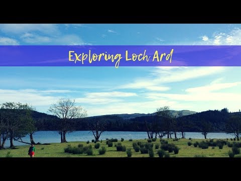
Exploring Loch Ard (Scotland)

I was riding shotgun to Steve's driving when we spent 4D/3N exploring Scotland. The spectacular scenery staring back at us and ...

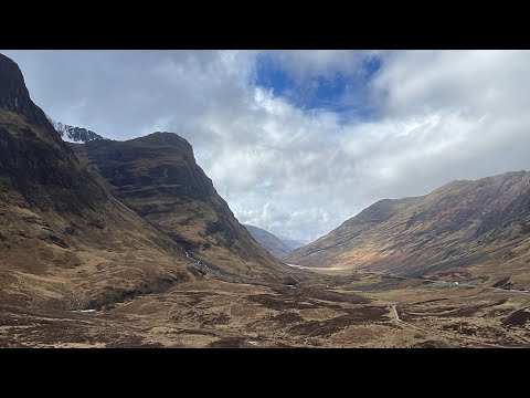
Scotland Day 3 Mar. 24, 2023

We started driving from Edinburgh to Ft. William on this day. We went through the Loch Lomond & The Trossachs National Park.

Standing Stones, fairies, and legendary lochs // Scotland Travel VLOG (Fuji X-T4)

In this travel vlog, join us for a weekend the bonnie shores of Loch Lomond and the Trossachs National Park. We only had three ...

Nearby Amenities

Located within 500m of 56.182384,-4.4598606
Duke Murdoch's Castle
Historic: castle
Ruins: yes
Wikidata: Q56661749
Lat/Long: 56.1808138/-4.4619618
Post Box
Collection Times: Mo-Fr 12:45; Sa 09:30
Operator: Royal Mail
Post Box Type: lamp
Ref: FK8 93
Royal Cypher: scottish_crown
Lat/Long: 56.1850498/-4.4535948
The data included in this document is from www.openstreetmap.org. The data is made available under ODbL.

Have you been to Briedach?

Leave your review of Briedach below (or comments, questions and feedback).