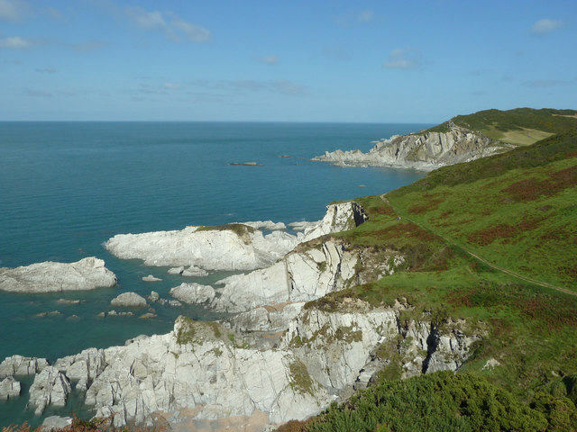
Pensport Rock

Island in Devon

England

Pensport Rock

View across the bay at Lee, low tide
View across the bay at Lee, low tide Credit: David Martin

The requested URL returned error: 429 Too Many Requests

If you have any feedback on the listing, please let us know in the comments section below.

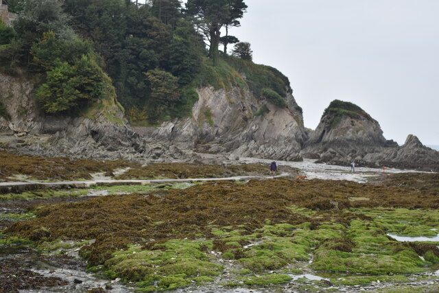
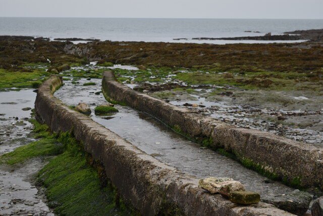
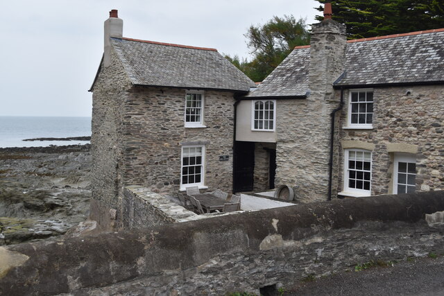
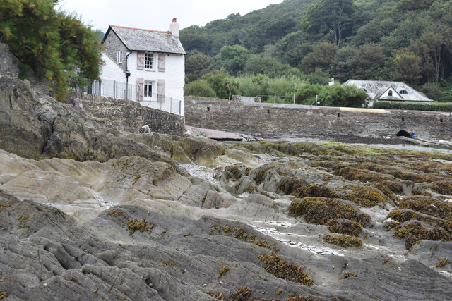
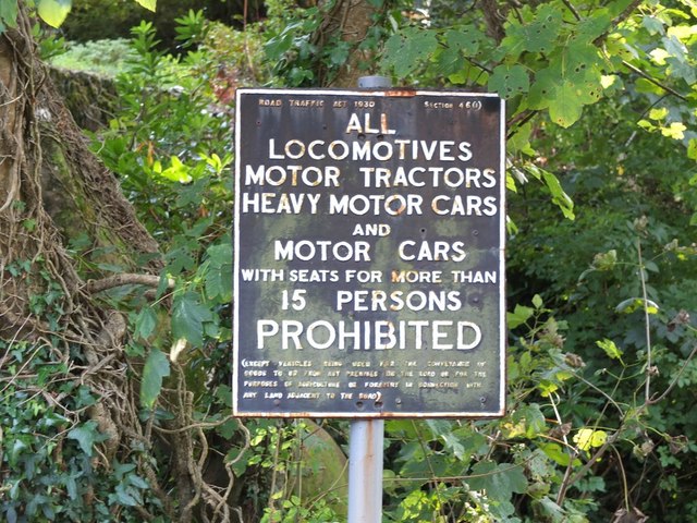
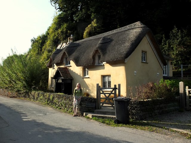
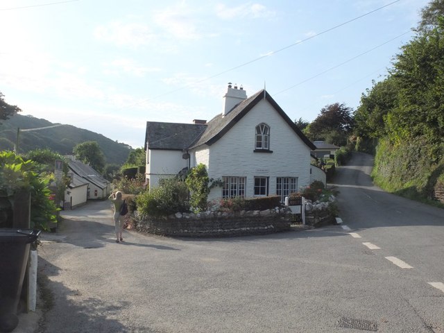
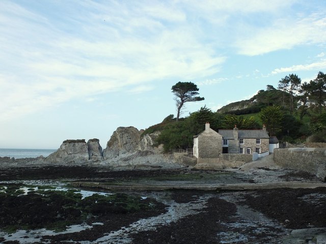
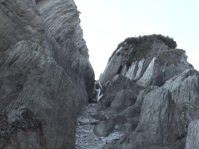
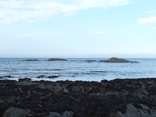
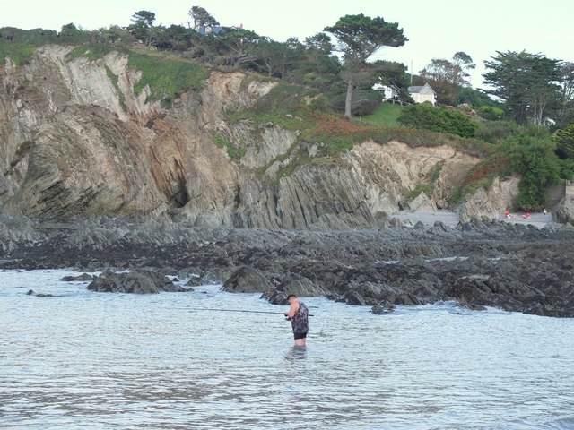
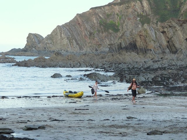
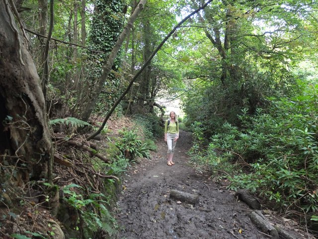
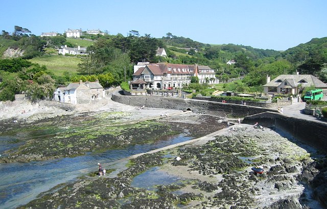
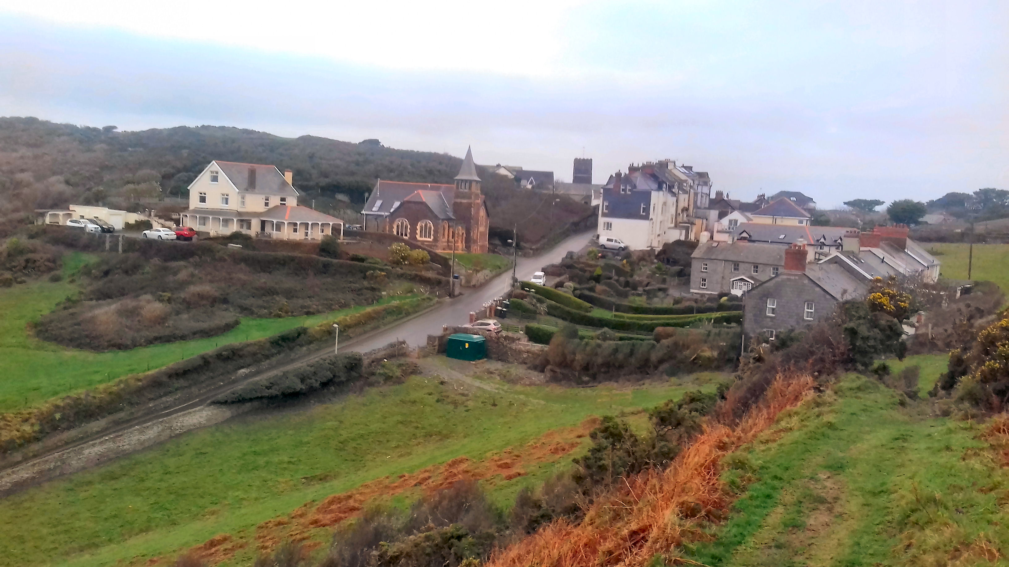
Pensport Rock Images

Images are sourced within 2km of 51.201275/-4.1854679 or Grid Reference SS4746. Thanks to Geograph Open Source API. All images are credited.

View across the bay at Lee, low tide
Stream channel onto shore at Lee
House on the shore at Lee
Rocky shore at Lee
Rocky shore at Lee
Across Rockham Beach to Bull Point on the Tarka Trail
The South West Coast Path
Sign at Women's Institute Car Park at Lee
Old Maid's Cottage, Lee, North Devon
Junction on Home Lane, Lee, North Devon
Footpath to Wrinkle Wood, Lee, North Devon
Lee Bay, North Devon
Passage from Lee Bay to Sandy Cove
Rocks in Lee Bay, North Devon
Sea fishing in Lee Bay, North Devon
Kayakers coming ashore at Lee Bay, North Devon
Path in Borough Valley near Lee, North Devon
Ordnance Survey Rivet This OS rivet can be found on the concrete base which once had a gatepost standing on it. West side of road. It marks a point 64.191m above mean sea level.
Ordnance Survey Rivet
This OS rivet can be found on the concrete base which once had a gatepost standing on it. West side of road. It marks a point 64.191m above mean sea level.
Rockham Beach The access to the beach is by the long staircase
Rockham Beach
The access to the beach is by the long staircase
Show me another place!

Pensport Rock is located at Grid Ref: SS4746 (Lat: 51.201275, Lng: -4.1854679)

Administrative County: Devon

Police Authority: Devon and Cornwall

What 3 Words

///apples.lousy.scanning. Near Ilfracombe, Devon

Related Wikis

Bull Point Lighthouse

Bull Point Lighthouse is a lighthouse on Bull Point, about one mile (1.6 km) north of the village of Mortehoe, on the northern coast of Devon, England...

Lee Bay

Lee Bay or just Lee is a small village on the North Devon coast near Woolacombe. Lee is situated on the rugged and inhospitable stretch of coast between...

Mortehoe

Mortehoe () is a village and former manor on the north coast of Devon, England. It lies 10 miles north-west of Barnstaple, near Woolacombe and Lee Bay...

Morte Point

Morte Point is a peninsula on the north west coast of Devon, England, belonging to the National Trust. To the east is the village of Mortehoe and to the...

Nearby Amenities

Located within 500m of 51.201275,-4.1854679
Source: PGS
Lat/Long: 51.1996237/-4.1787975
Source: PGS
Lat/Long: 51.1995375/-4.1789293
Source: PGS
Lat/Long: 51.1994266/-4.1791532
Source: PGS
Lat/Long: 51.199393/-4.1794789
Source: PGS
Lat/Long: 51.1993629/-4.1799298
Source: PGS
Lat/Long: 51.1992916/-4.1817162
Source: PGS
Lat/Long: 51.1996641/-4.1820802
Source: PGS
Lat/Long: 51.1998004/-4.1822852
Source: PGS
Lat/Long: 51.200204/-4.1829143
Source: PGS
Lat/Long: 51.2005146/-4.1834459
Source: PGS
Lat/Long: 51.2005972/-4.185708
Source: PGS
Lat/Long: 51.2004601/-4.1862276
Source: PGS
Lat/Long: 51.2003994/-4.187655
Source: PGS
Lat/Long: 51.2002028/-4.1885472
Source: PGS
Lat/Long: 51.2001397/-4.1886325
Source: PGS
Lat/Long: 51.2004067/-4.1901003
Source: PGS
Lat/Long: 51.200123/-4.1903093
Source: PGS
Lat/Long: 51.2003175/-4.1912463
Pensport Rock
Place: locality
Lat/Long: 51.2012893/-4.1857067
Damagehue Rock
Place: locality
Lat/Long: 51.2005774/-4.1918189
Bench
Lat/Long: 51.1989674/-4.1883221
Bench
Lat/Long: 51.1989725/-4.1879519
The data included in this document is from www.openstreetmap.org. The data is made available under ODbL.

Have you been to Pensport Rock?

Leave your review of Pensport Rock below (or comments, questions and feedback).