Bartonsham
Settlement in Herefordshire
England
Bartonsham
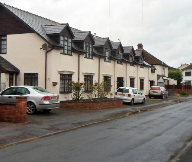
Bartonsham is a small residential area located in the city of Hereford, Herefordshire, England. Situated on the eastern bank of the River Wye, it is part of the wider Bartonsham Farm area. The neighborhood is predominantly residential, characterized by rows of terraced houses, semi-detached homes, and a few detached properties.
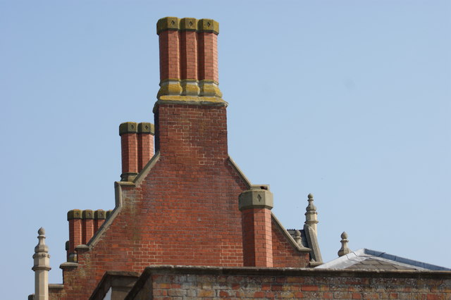
The area boasts a rich history, with evidence of occupation dating back to Roman times. It was once an important industrial zone, known for its ironworks and mills. Today, remnants of this industrial past can still be seen in the form of converted warehouses and old factory buildings.
Bartonsham benefits from its convenient location, being close to the city center of Hereford. This provides residents with easy access to a range of amenities, including shops, supermarkets, restaurants, and leisure facilities. The neighborhood also benefits from a number of green spaces, such as Bartonsham Playing Fields, which offer opportunities for outdoor activities and recreation.
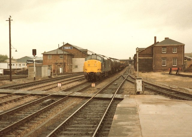
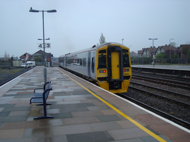
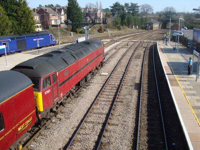
Transport links are excellent, with regular bus services connecting Bartonsham to surrounding areas. The Hereford railway station is also within easy reach, providing direct trains to major cities like Birmingham, Manchester, and Cardiff.
Overall, Bartonsham offers residents a quiet and peaceful community within close proximity to the amenities of Hereford city center. Its historical significance, green spaces, and convenient location make it an attractive place to live in Herefordshire.
If you have any feedback on the listing, please let us know in the comments section below.
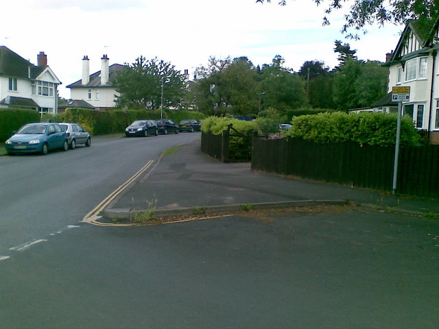
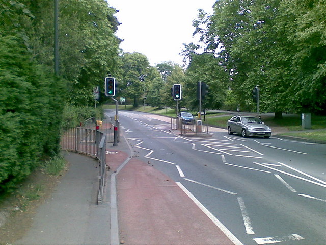
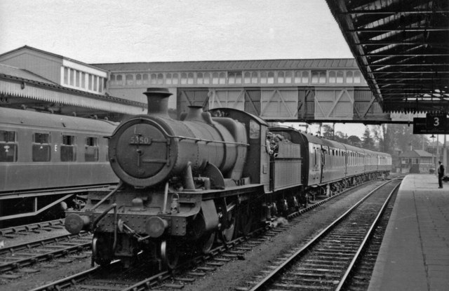
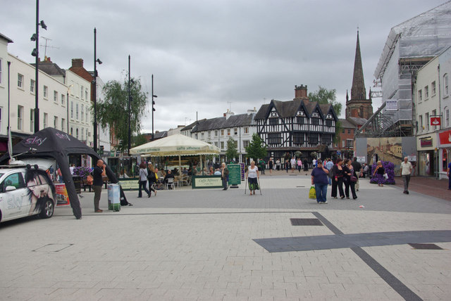
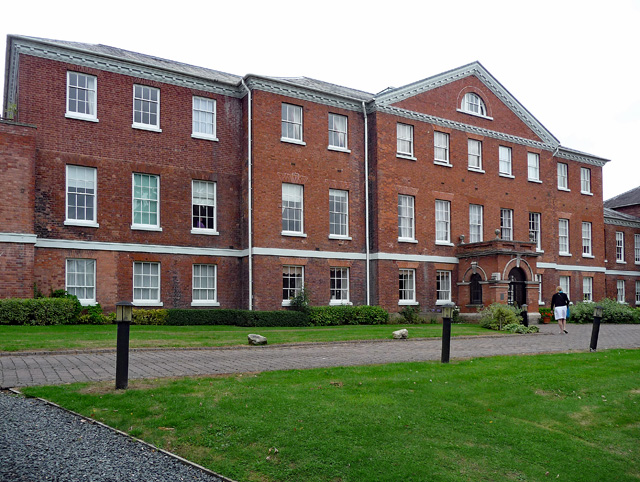
Bartonsham Images
Images are sourced within 2km of 52.052012/-2.7045509 or Grid Reference SO5139. Thanks to Geograph Open Source API. All images are credited.


Bartonsham is located at Grid Ref: SO5139 (Lat: 52.052012, Lng: -2.7045509)
Unitary Authority: County of Herefordshire
Police Authority: West Mercia
What 3 Words
///mock.attend.rescue. Near Hereford, Herefordshire
Nearby Locations
Related Wikis

Harold Street drill hall, Hereford
The Harold Street drill hall is a former military installation in Hereford, Herefordshire. == History == The building was designed as a local militia barracks...

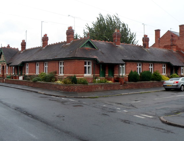
Williams' Hospital
The Williams' Hospital was an almshouse in the English town of Hereford. The hospital was founded in 1601 by Richard Williams who was an attendant of...
Hereford General Hospital
Hereford General Hospital was a health facility located on Nelson Street in Hereford. The main building, which has since been converted into apartments...

Hereford Castle
Hereford Castle is a castle that used to be in the cathedral city of Hereford, the county town of Herefordshire, England (grid reference SO511396). Founded...
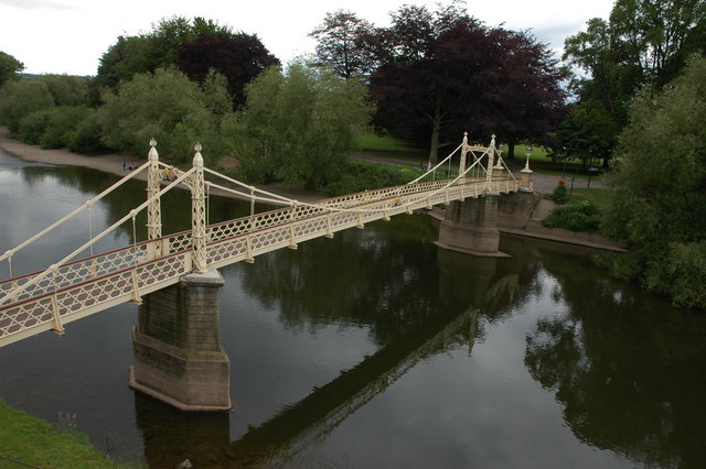
Victoria Bridge, Hereford
Victoria Bridge, Hereford is a foot-bridge in Hereford, opened in 1898 to commemorate the 1897 Diamond Jubilee of Queen Victoria. It is located on Mill...

Hereford County Hospital
Hereford County Hospital is an acute general hospital on Stonebow Road in Hereford. It is managed by Wye Valley NHS Trust. == History == The foundation...

Hereford Cathedral Junior School
Hereford Cathedral Junior School is an independent, co-educational day school for children aged from three to eleven years. The Junior School is part of...
St Guthlac's Priory
Saint Guthlac's Priory (or the Benedictine Priory of Saints Peter, Paul and Guthlac) was a Benedictine priory in Hereford, England. It was originally founded...
Nearby Amenities
Located within 500m of 52.052012,-2.7045509Have you been to Bartonsham?
Leave your review of Bartonsham below (or comments, questions and feedback).