Black Island

Island in Perthshire

Scotland

Black Island

On Loch Katrine viewing Black Island To the right is the Black Island- obscured behind it, attached to the loch's shore, is the Clan McGregor burial ground. The smaller islet to the left is Eilean Ban. The peak is Meall na Boineide.
On Loch Katrine viewing Black Island Credit: Kim McGillivray

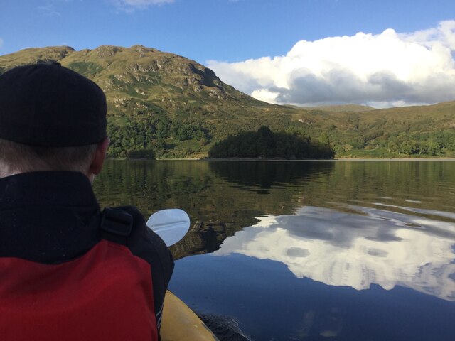
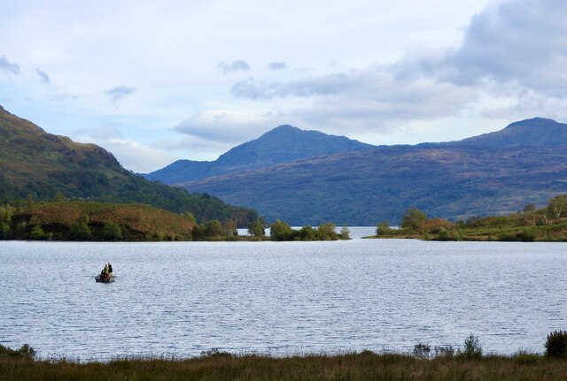
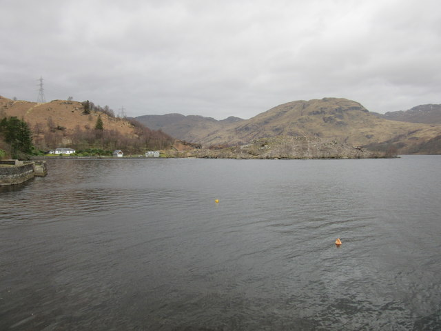
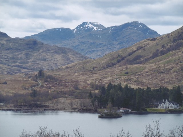
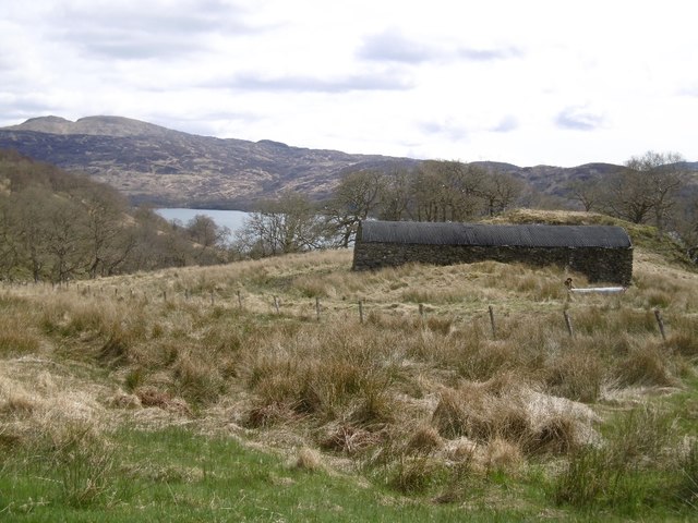
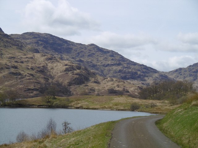
Black Island is a small, uninhabited island located in the Perthshire region of Scotland. Situated within the waters of Loch Rannoch, it is part of the larger Rannoch Moor, a vast expanse of moorland and lochs that stretches across the southern Highlands. The island is roughly 1.5 acres in size and is characterized by its rugged, natural beauty.

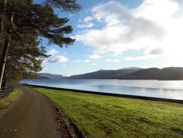
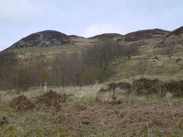
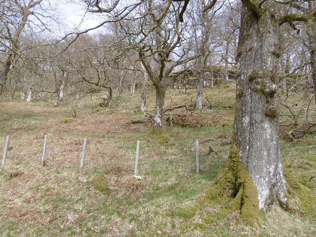
Covered in dense vegetation, Black Island is predominantly composed of heather, grasses, and small shrubs. Its rocky shoreline is interspersed with patches of sandy beaches, providing a stark contrast to the surrounding dark waters of the loch. The island offers stunning views of the surrounding mountains and is a popular spot for nature enthusiasts and birdwatchers.

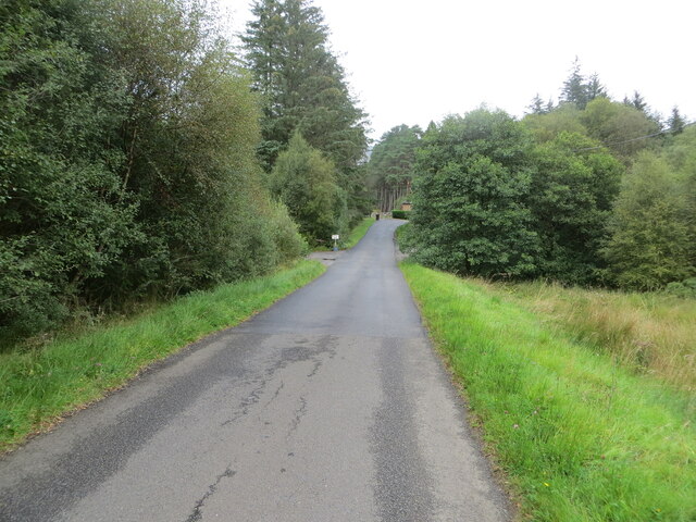
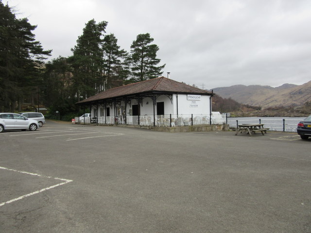
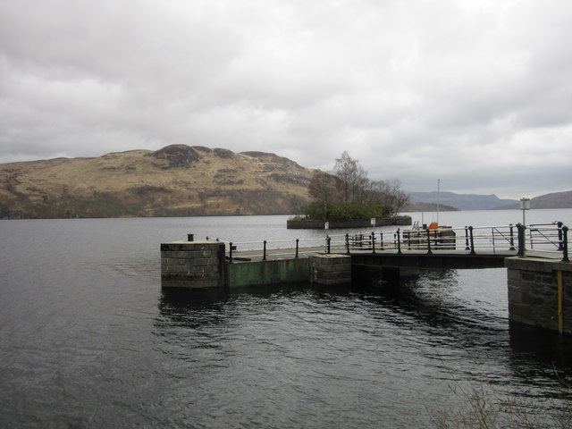
Access to Black Island is limited, as there are no public ferries or regular transport services available. However, it can be reached by boat, kayak, or canoe, allowing visitors to explore its shores and experience the solitude and tranquility it offers. The island's remote location and lack of development make it an ideal destination for those seeking a peaceful retreat.

Despite its uninhabited status, Black Island has a rich history. It is believed to have been used as a burial ground during ancient times, with archaeological finds suggesting human activity on the island dating back thousands of years. Today, remnants of old stone structures and burial cairns can still be found, offering glimpses into its past.

In summary, Black Island is a picturesque and secluded island located in Loch Rannoch, Perthshire. Its natural beauty, rich history, and peaceful ambiance make it a captivating destination for those seeking a unique and off-the-beaten-path experience in the Scottish Highlands.

If you have any feedback on the listing, please let us know in the comments section below.
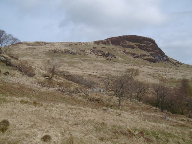
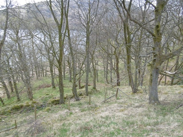
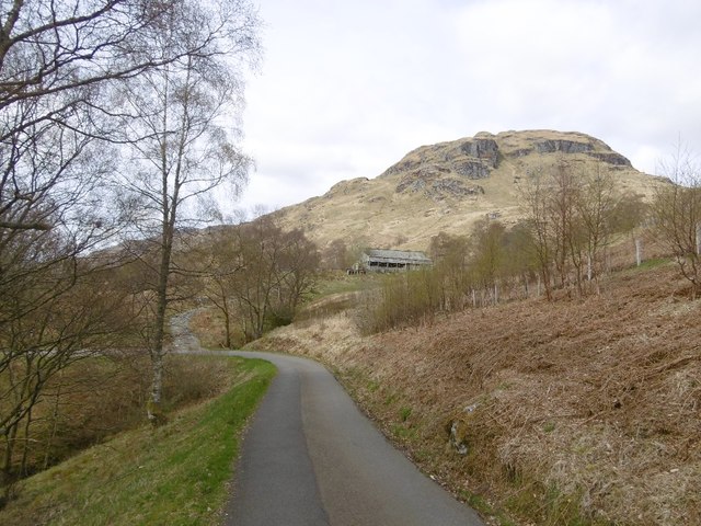
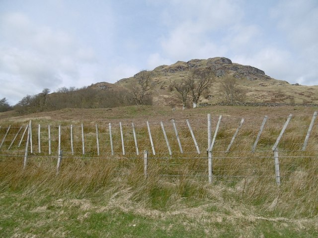
Black Island Images

Images are sourced within 2km of 56.271262/-4.5790057 or Grid Reference NN4011. Thanks to Geograph Open Source API. All images are credited.

On Loch Katrine viewing Black Island To the right is the Black Island- obscured behind it, attached to the loch's shore, is the Clan McGregor burial ground. The smaller islet to the left is Eilean Ban. The peak is Meall na Boineide.
On Loch Katrine viewing Black Island
To the right is the Black Island- obscured behind it, attached to the loch's shore, is the Clan McGregor burial ground. The smaller islet to the left is Eilean Ban. The peak is Meall na Boineide.
Minor road approaching Stronachlachar Looking north-eastward.
Minor road approaching Stronachlachar
Looking north-eastward.
Looking down Loch Katrine from the Glen Gyle end An autumnal view of a special place: Rob Roy country!  The Glen Gyle end of Loch Katrine is steeped in history, as is the whole area.  The fishing group in the boat appeared contented and the view down to Ben Venue is so good, there were many positives for me in this image. As is well known, Loch Katrine is a main source of water for the Glasgow conurbation. A natural loch, its level has been raised three times.
Looking down Loch Katrine from the Glen Gyle end
An autumnal view of a special place: Rob Roy country! The Glen Gyle end of Loch Katrine is steeped in history, as is the whole area. The fishing group in the boat appeared contented and the view down to Ben Venue is so good, there were many positives for me in this image. As is well known, Loch Katrine is a main source of water for the Glasgow conurbation. A natural loch, its level has been raised three times.
Loch Katrine at Stronachlachar
Pier Café, Stronachlachar
Stronachlachar pier and Eilean Dharag, Loch Katrine Eilean Dharag is also known as Factor's Island, where Rob Roy MacGregor held the Duke of Montrose's factor, Graham of Killearn, as prisoner following an attack on his wife and home.
Stronachlachar pier and Eilean Dharag, Loch Katrine
Eilean Dharag is also known as Factor's Island, where Rob Roy MacGregor held the Duke of Montrose's factor, Graham of Killearn, as prisoner following an attack on his wife and home.
Rhododendron clearance, Stronachlachar Contrast with the rhododendron choked other side of the road.
Rhododendron clearance, Stronachlachar
Contrast with the rhododendron choked other side of the road.
Stronachlachar Pier Not so far away, but the road still has about 10km to go, around the head of Loch Katrine.  Beinn Narnain forms the backdrop.
Stronachlachar Pier
Not so far away, but the road still has about 10km to go, around the head of Loch Katrine. Beinn Narnain forms the backdrop.
Woodland above Loch Katrine Now that the sheep have gone, the woodlands are spreading away from the shore.
Woodland above Loch Katrine
Now that the sheep have gone, the woodlands are spreading away from the shore.
Coilachra Old walls with a corrugated iron roof. There is a house marked here on 19th century maps.
Coilachra
Old walls with a corrugated iron roof. There is a house marked here on 19th century maps.
Bridge on the Loch Katrine road Near Coilachra.
Bridge on the Loch Katrine road
Near Coilachra.
Meall Dearg, Loch Katrine A craggy hillside on the north shore. There is a fence protecting young trees here.
Meall Dearg, Loch Katrine
A craggy hillside on the north shore. There is a fence protecting young trees here.
Oakwood, Loch Katrine
East Portnellan Old sheds from the days when sheep were run on the hillsides north of Loch Katrine (now wooded).
East Portnellan
Old sheds from the days when sheep were run on the hillsides north of Loch Katrine (now wooded).
Meall na Boineide Craggy hillside above Loch Katrine. The fence is surrounding a young plantation which has replaced the sheep walk here.
Meall na Boineide
Craggy hillside above Loch Katrine. The fence is surrounding a young plantation which has replaced the sheep walk here.
Loch Katrine road Nearing the head of the loch.
Loch Katrine road
Nearing the head of the loch.
Oak wood, Portnellan Woodland beside Loch Katrine.
Oak wood, Portnellan
Woodland beside Loch Katrine.
Show me another place!

Black Island is located at Grid Ref: NN4011 (Lat: 56.271262, Lng: -4.5790057)

Unitary Authority: Stirling

Police Authority: Forth Valley

What 3 Words

///plod.drivers.promises. Near Tyndrum, Stirling

Nearby Locations

Eilean Bàn Black Island

Related Wikis

Loch Lomond and The Trossachs National Park

Loch Lomond and The Trossachs National Park (Scottish Gaelic: Pàirc Nàiseanta Loch Laomainn is nan Tròisichean) is a national park in Scotland centred...

Loch Arklet

Loch Arklet is a freshwater loch and reservoir in the Trossachs area of the Scottish Highlands. It is within the historic county and registration county...

Meall Mor (Loch Katrine)

Meall Mor (747 m) is a mountain in the Grampian Mountains of Scotland. It lies in the Stirling region, on the northern side of Loch Katrine in the Trossachs...

Loch Katrine

Loch Katrine (; Scottish Gaelic: Loch Ceiteirein [l̪ˠɔx ˈkʲʰeʰtʲɪɾʲɛɲ] or Loch Ceathairne) is a freshwater loch in the Trossachs area of the Scottish Highlands...

Nearby Amenities

Located within 500m of 56.271262,-4.5790057
Ford: yes
Lat/Long: 56.2738169/-4.5732598
Ford: yes
Lat/Long: 56.2737594/-4.5739148
Barrier: entrance
Lat/Long: 56.272878/-4.5759594
The data included in this document is from www.openstreetmap.org. The data is made available under ODbL.

Have you been to Black Island?

Leave your review of Black Island below (or comments, questions and feedback).