Carreg Ifan

Island in Cardiganshire

Wales

Carreg Ifan

Carreg Bica From the headland coastal path
Carreg Bica Credit: Kevin Waterhouse

Carreg Ifan, also known as Carreg y Bwci or the Witches' Stone, is a prehistoric megalithic monument located in Cardiganshire, Wales. It is situated on the southern slope of Mynydd Preseli, near the village of Newport. Carreg Ifan is one of the most iconic and well-preserved dolmens in Wales.

The monument consists of a large capstone, estimated to weigh around 16 tons, supported by three upright stones. The capstone measures approximately 5 meters in length and is tilted at an angle, creating a distinctive and dramatic appearance. The supporting stones stand at an average height of 2 meters.

Carreg Ifan is believed to have been constructed during the Neolithic period, around 3,500 to 4,000 years ago. It is thought to have served as a communal burial site, although no human remains have been discovered at the site. The monument's purpose and significance remain a subject of speculation and debate among archaeologists and historians.

The dolmen is surrounded by a small circular enclosure, which may have once had a more extensive stone circle. The area offers panoramic views of the surrounding landscape, including the Preseli Hills and the nearby coast. Due to its impressive size, unique design, and historical significance, Carreg Ifan attracts visitors from around the world who are interested in ancient monuments and Welsh history.

Carreg Ifan is a protected monument, and visitors are encouraged to respect its historical value by not climbing on the stones or removing any artifacts. Interpretive signs and information boards are available on-site to provide visitors with additional context and understanding of this remarkable ancient structure.

If you have any feedback on the listing, please let us know in the comments section below.
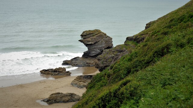
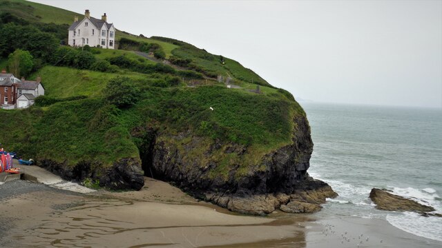
Carreg Ifan Images

Images are sourced within 2km of 52.166944/-4.4680623 or Grid Reference SN3154. Thanks to Geograph Open Source API. All images are credited.

Carreg Bica From the headland coastal path
Carreg Bica
From the headland coastal path
The West Headland View across the small bay. The west headland has a statue of St Carannog above the cliff
The West Headland
View across the small bay. The west headland has a statue of St Carannog above the cliff
Southern rampart of Castell Bach Promontory Fort <span class="nowrap"><a title="https://coflein.gov.uk/en/site/93914/" rel="nofollow ugc noopener" href="https://coflein.gov.uk/en/site/93914/">Link</a><img style="margin-left:2px;" alt="External link" title="External link - shift click to open in new window" src="https://s1.geograph.org.uk/img/external.png" width="10" height="10"/></span>
Southern rampart of Castell Bach Promontory Fort
Lime Kiln at Llangrannog
Llangrannog Village View from the cliff south of the village.
Llangrannog Village
View from the cliff south of the village.
Footpath leading north from Eisteddfa
Llangrannog Village View from hill to the north of the village.
Llangrannog Village
View from hill to the north of the village.
Ynys-Lochtyn Island and Promontory Fort The fort overlooks the small tidal island and has a single rampart and ditch on the landward side <span class="nowrap"><a title="https://coflein.gov.uk/en/site/408279/" rel="nofollow ugc noopener" href="https://coflein.gov.uk/en/site/408279/">Link</a><img style="margin-left:2px;" alt="External link" title="External link - shift click to open in new window" src="https://s1.geograph.org.uk/img/external.png" width="10" height="10"/></span>
Ynys-Lochtyn Island and Promontory Fort
The fort overlooks the small tidal island and has a single rampart and ditch on the landward side LinkExternal link
Pendinaslochdyn Iron Age Hillfort <span class="nowrap"><a title="https://www.megalithic.co.uk/article.php?sid=17596" rel="nofollow ugc noopener" href="https://www.megalithic.co.uk/article.php?sid=17596">Link</a><img style="margin-left:2px;" alt="External link" title="External link - shift click to open in new window" src="https://s1.geograph.org.uk/img/external.png" width="10" height="10"/></span>
Pendinaslochdyn Iron Age Hillfort
Llangrannog Dry Ski Slope Not really the sort of thing you expect to see when walking along a coastal path.
Llangrannog Dry Ski Slope
Not really the sort of thing you expect to see when walking along a coastal path.
Rocks in the Sea Perfect spot for sea birds to rest between feeds.
Rocks in the Sea
Perfect spot for sea birds to rest between feeds.
Rock formation in Llangrannog An interesting formation of rocks on the beach in Llangrannog.
Rock formation in Llangrannog
An interesting formation of rocks on the beach in Llangrannog.
Direction Sign – Signpost on the B4321 Located on the south of the junction on the B4321 and the minor road to Llwyndafydd. Llangrannog community. 3 arms and ogee finial. 

Milestone Society National ID: CRD_SN3254
Direction Sign – Signpost on the B4321
Located on the south of the junction on the B4321 and the minor road to Llwyndafydd. Llangrannog community. 3 arms and ogee finial. Milestone Society National ID: CRD_SN3254
Direction Sign – Signpost on the B4321 in Llangrannog Located on the southeast of the junction of the B4321 and the B4334 near the bridge over Nant Hawen. Llangrannog community. 2 arms and ogee finial. 

Milestone Society National ID: CRD_SN3154
Direction Sign – Signpost on the B4321 in Llangrannog
Located on the southeast of the junction of the B4321 and the B4334 near the bridge over Nant Hawen. Llangrannog community. 2 arms and ogee finial. Milestone Society National ID: CRD_SN3154
Llangrannog Beach A busy Llangrannog beach
Llangrannog Beach
A busy Llangrannog beach
Carreg Dol-y-Fran. From the coast path looking to Carreg Dol-y -Fran
Carreg Dol-y-Fran.
From the coast path looking to Carreg Dol-y -Fran
Carreg-y-ty and sandy beach From coast path looking down to  Carreg-y-ty and the sandy beach
Carreg-y-ty and sandy beach
From coast path looking down to Carreg-y-ty and the sandy beach
B4334 heading out of Llangrannog B4334 heading out of Llangrannog passing the park and ride car park. The ride is a minibus down to the beach
B4334 heading out of Llangrannog
B4334 heading out of Llangrannog passing the park and ride car park. The ride is a minibus down to the beach
Show me another place!

Carreg Ifan is located at Grid Ref: SN3154 (Lat: 52.166944, Lng: -4.4680623)

Unitary Authority: Ceredigion

Police Authority: Dyfed Powys

What 3 Words

///wreck.admire.bookings. Near Aberporth, Ceredigion

Related Wikis

River Hawen

The River Hawen (Welsh: Nant Hawen) is the main stream that flows through Llangrannog, Ceredigion, Wales into Cardigan Bay. It falls as a waterfall near...
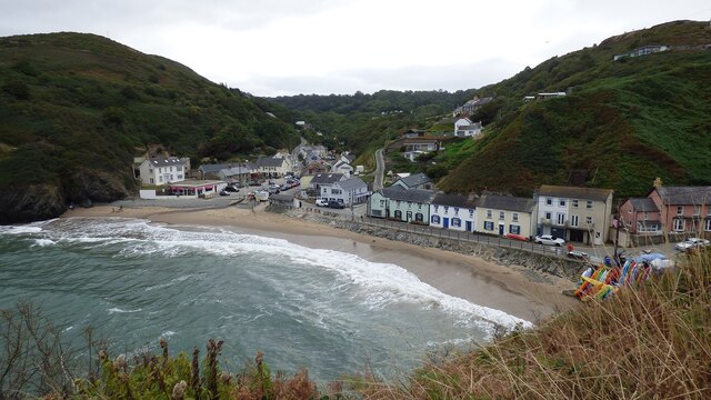
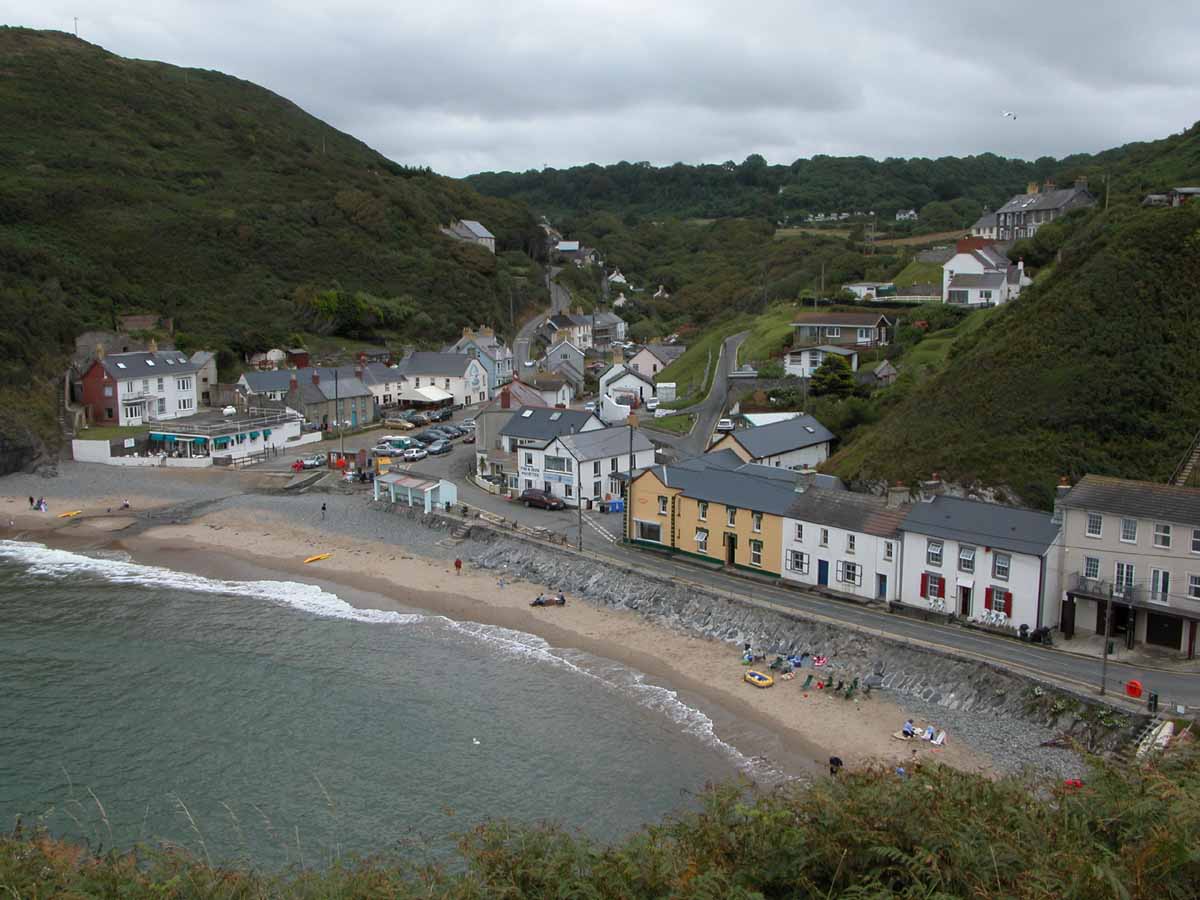
Llangrannog

Llangrannog (sometimes spelt as Llangranog) is both a village and a community in Ceredigion, Wales, 6 miles (10 km) southwest of New Quay. It lies in...

Pigeon's Ford

Pigeon's Ford is a hamlet in the community of Llangrannog, Ceredigion, Wales, which is 71.8 miles (115.5 km) from Cardiff and 189.9 miles (305.5 km) from...

Penmorfa

Penmorfa is the name of two villages in Wales. One is a small village in the community of Penbryn, Ceredigion, Wales. Penmorfa is represented in the Senedd...

St Michael's Church, Penbryn

The Church of St Michael at present (October 2023) holds services every Sunday at 11.15am. It is a Grade I listed church in Penbryn, Ceredigion, Wales...
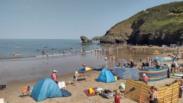
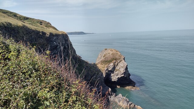
Penbryn

Penbryn (grid reference SN296520) is a small coastal village and community in Ceredigion, Wales, about 8 miles (13 km) from Cardigan. == History == �...

Blaen Celyn

Blaen Celyn is a hamlet in the community of Llangrannog, Ceredigion, Wales, 2 miles (3.2 km) east of Llangrannog village. The local St. David's Church...

Brynhoffnant

Brynhoffnant is a small village in the community of Penbryn, Ceredigion, Wales, which is 70.4 miles (113.3 km) from Cardiff and 189.1 miles (304.3 km)...

Nearby Amenities

Located within 500m of 52.166944,-4.4680623
Source: PGS
Lat/Long: 52.1680952/-4.463118
Source: PGS
Lat/Long: 52.1689637/-4.4653817
Source: PGS
Lat/Long: 52.1693716/-4.4654816
Source: PGS
Lat/Long: 52.170485/-4.4659222
Source: PGS
Lat/Long: 52.1712667/-4.4661819
Source: PGS
Lat/Long: 52.1712462/-4.4669215
Source: PGS
Lat/Long: 52.1708851/-4.4670897
Source: PGS
Lat/Long: 52.1709261/-4.4665735
Source: PGS
Lat/Long: 52.1702673/-4.4664549
Source: PGS
Lat/Long: 52.1702089/-4.4670241
Source: PGS
Lat/Long: 52.169848/-4.4680543
Source: PGS
Lat/Long: 52.1697542/-4.4686792
Source: PGS
Lat/Long: 52.1696381/-4.4696848
Source: PGS
Lat/Long: 52.1685638/-4.4682257
Source: PGS
Lat/Long: 52.1689087/-4.4673951
Source: PGS
Lat/Long: 52.1682849/-4.4672224
Source: PGS
Lat/Long: 52.1673265/-4.4673244
Source: PGS
Lat/Long: 52.1667837/-4.4675275
Source: PGS
Lat/Long: 52.1663632/-4.4675222
Source: PGS
Lat/Long: 52.1656806/-4.4676786
Source: PGS
Lat/Long: 52.1655565/-4.468085
Source: PGS
Lat/Long: 52.1651663/-4.4684473
Source: PGS
Lat/Long: 52.1647688/-4.4684771
Source: PGS
Lat/Long: 52.1639562/-4.4690866
Source: PGS
Lat/Long: 52.1638934/-4.4690389
Source: PGS
Lat/Long: 52.163902/-4.4684758
Source: PGS
Lat/Long: 52.1633189/-4.4688587
Source: PGS
Lat/Long: 52.1630713/-4.4694612
Source: PGS
Lat/Long: 52.162859/-4.469748
Pen Y Badell
Ele: 156
Name Cy: Pen Y Badell
Natural: peak
Lat/Long: 52.1655622/-4.4646734
Source: PGS
Lat/Long: 52.1673993/-4.4608141
Source: PGS
Lat/Long: 52.1677635/-4.4616371
Source: PGS
Lat/Long: 52.1680874/-4.4634315
Source: PGS
Lat/Long: 52.1683456/-4.4637756
Source: PGS
Lat/Long: 52.1711159/-4.4667765
Source: PGS
Lat/Long: 52.1709076/-4.4664601
The data included in this document is from www.openstreetmap.org. The data is made available under ODbL.

Have you been to Carreg Ifan?

Leave your review of Carreg Ifan below (or comments, questions and feedback).