Maen Mawr

Island in Anglesey

Wales

Maen Mawr

Llyn Maelog
Llyn Maelog Credit: Chris Andrews

Maen Mawr is a prominent standing stone located on the island of Anglesey, off the northwest coast of Wales. It is situated in a field near the village of Llanfaethlu, overlooking the Irish Sea. The stone stands at an impressive height of approximately 5 meters (16 feet) and is estimated to weigh around 40 tons.

Believed to date back to the Neolithic period, Maen Mawr is one of the largest and most well-preserved standing stones in Wales. Its purpose and significance remain a mystery, as no written records exist from that time. However, it is thought that it may have served as a ceremonial or religious monument, possibly marking a significant burial site or acting as a boundary marker.

The stone itself is made of a type of quartzite, which is not native to the area, suggesting that it was transported from a considerable distance. The sheer size and weight of the stone imply that its erection required a considerable amount of manpower and engineering skills.

Maen Mawr attracts visitors from near and far who are intrigued by its ancient history and the awe-inspiring sight it presents. The stone is easily accessible, with a public footpath leading to it, allowing visitors to get up close and marvel at its imposing presence. Its location also offers panoramic views of the surrounding landscape and the nearby coastline, adding to its appeal.

Overall, Maen Mawr is a remarkable and enigmatic monument that serves as a testament to the ancient civilizations that once inhabited the area, and continues to fascinate and captivate those who visit it.

If you have any feedback on the listing, please let us know in the comments section below.
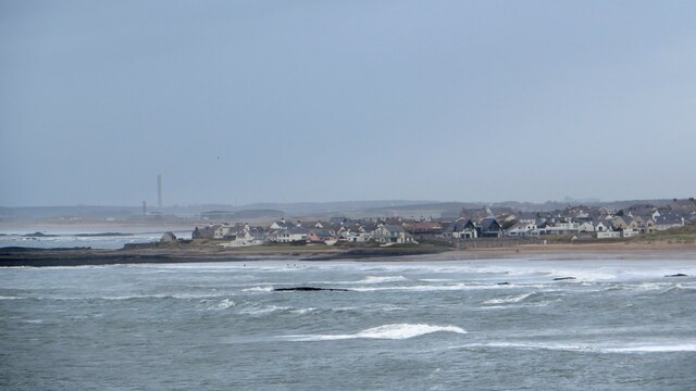
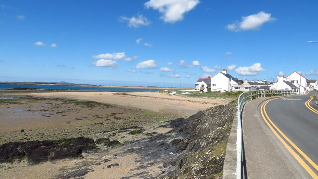
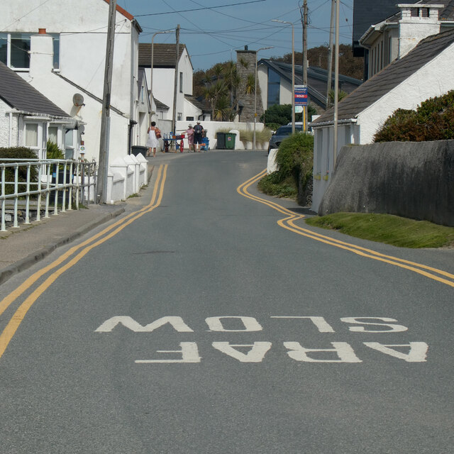
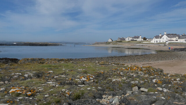
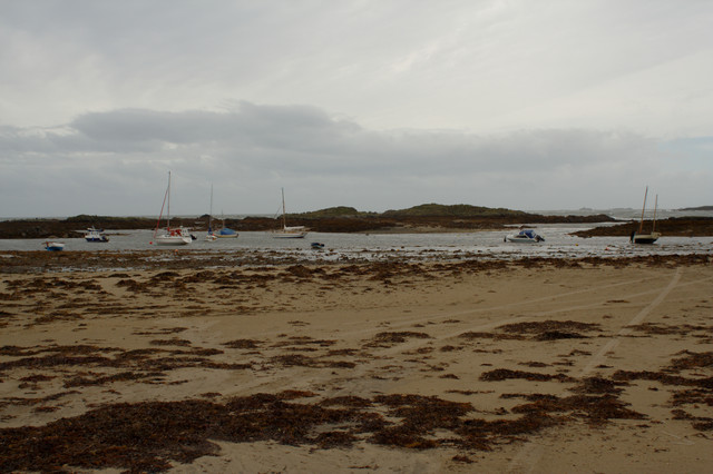
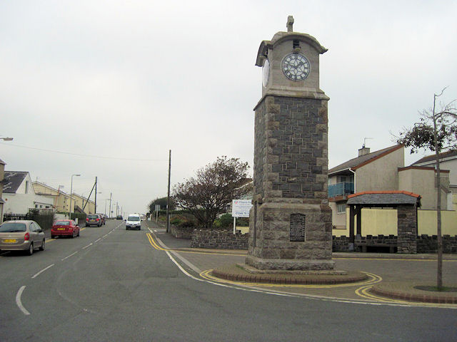
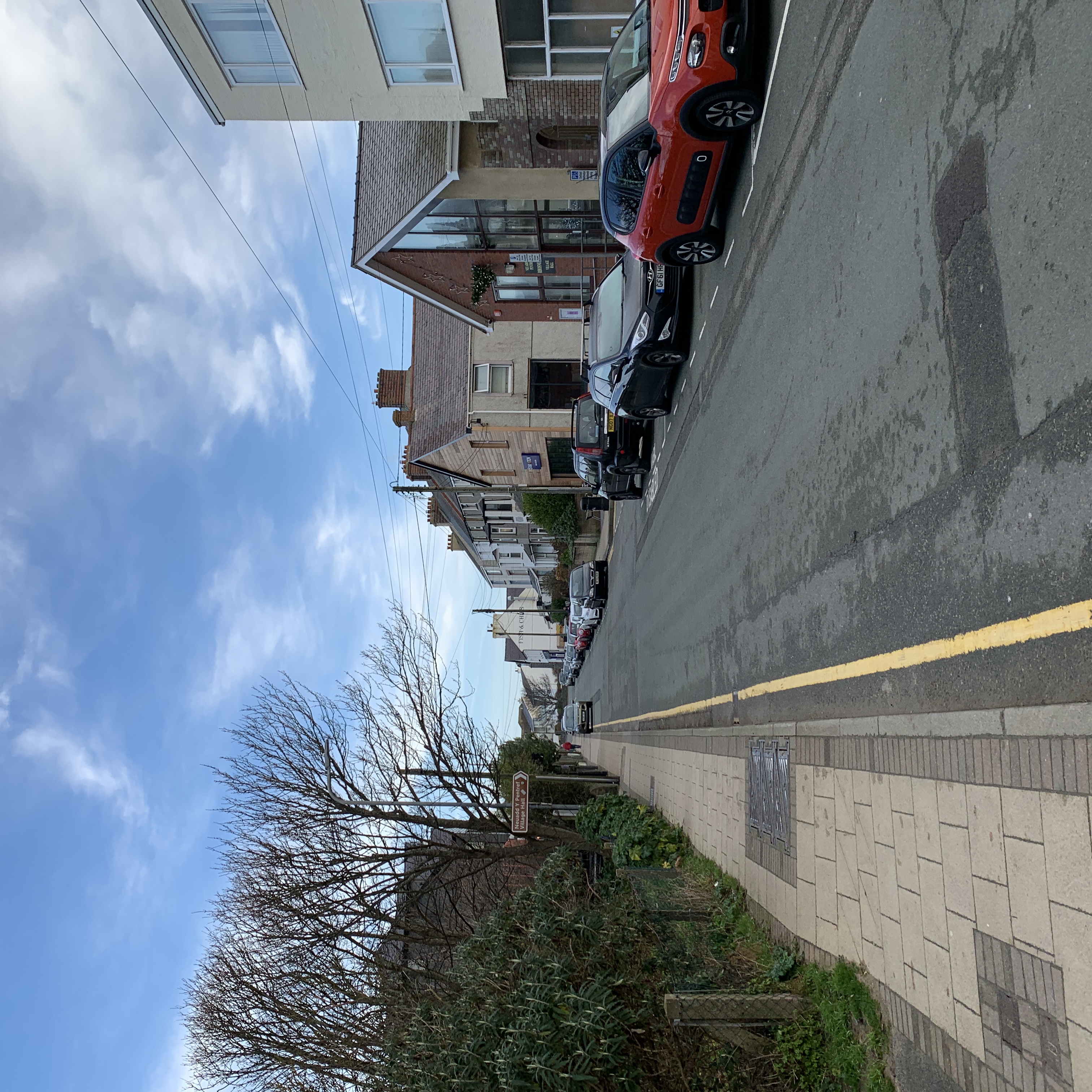
Maen Mawr Images

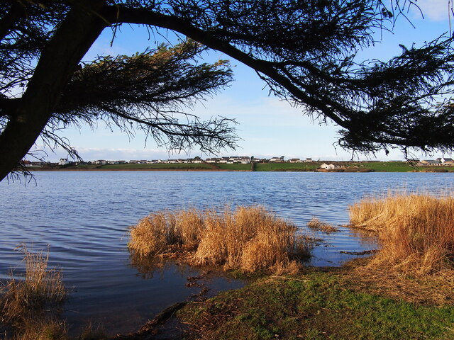
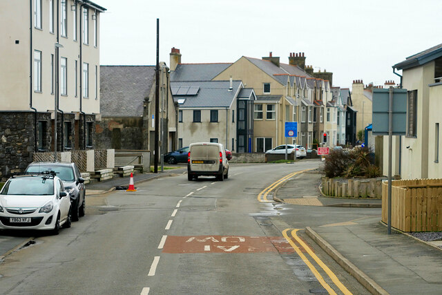
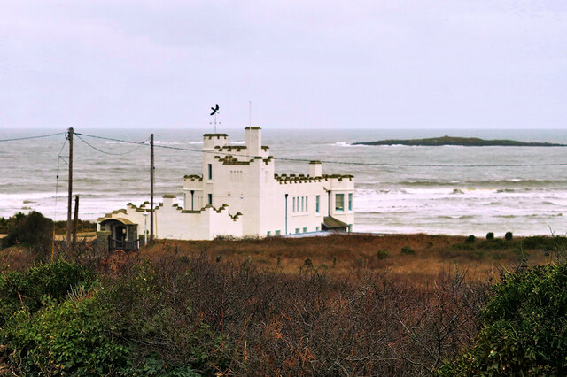
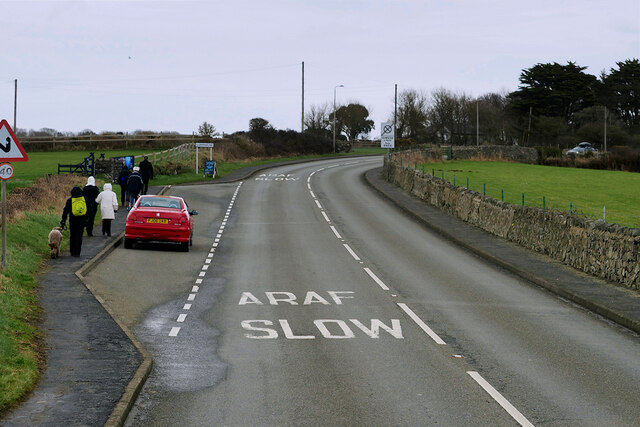
Images are sourced within 2km of 53.22159/-4.529703 or Grid Reference SH3172. Thanks to Geograph Open Source API. All images are credited.

Llyn Maelog
Llyn Maelog
A4080 Rhosneigr Rhosneigr is a seaside village on the southwest coast of Anglesey.
A4080 Rhosneigr
Rhosneigr is a seaside village on the southwest coast of Anglesey.
Rhosneigr, Beach Road Rhosneigr is a seaside village on the southwest coast of Anglesey.
Rhosneigr, Beach Road
Rhosneigr is a seaside village on the southwest coast of Anglesey.
Rhosneigr, Station Road The A4080 road runs for 24½ miles along the southwestern side of Anglesey. It starts on the A5 at Llanfair Pwllgwyngyll and passes through several villages before terminating on the A5 between Bryngwran and Gwalchmai.
Rhosneigr, Station Road
The A4080 road runs for 24½ miles along the southwestern side of Anglesey. It starts on the A5 at Llanfair Pwllgwyngyll and passes through several villages before terminating on the A5 between Bryngwran and Gwalchmai.
Surf Point, Rhosneigr A castellated seaside 'folly' style holiday home built to resemble a large sandcastle at the seashore. Built 1906-8 for the sausage manufacturer, C H Palethorpe, of Tipton, Worcestershire.  It is a Grade II listed building (Cadw reference 20425 <span class="nowrap"><a title="http://cadwpublic-api.azurewebsites.net/reports/listedbuilding/FullReport?lang=en&id=20425" rel="nofollow ugc noopener" href="http://cadwpublic-api.azurewebsites.net/reports/listedbuilding/FullReport?lang=en&id=20425">Link</a><img style="margin-left:2px;" alt="External link" title="External link - shift click to open in new window" src="https://s1.geograph.org.uk/img/external.png" width="10" height="10"/></span> ).
Surf Point, Rhosneigr
A castellated seaside 'folly' style holiday home built to resemble a large sandcastle at the seashore. Built 1906-8 for the sausage manufacturer, C H Palethorpe, of Tipton, Worcestershire. It is a Grade II listed building (Cadw reference 20425 LinkExternal link ).
Layby on the A4080 above Rhosneigr The A4080 road runs for 24½ miles along the southwestern side of Anglesey. It starts on the A5 at Llanfair Pwllgwyngyll and passes through several villages before terminating on the A5 between Bryngwran and Gwalchmai.
Layby on the A4080 above Rhosneigr
The A4080 road runs for 24½ miles along the southwestern side of Anglesey. It starts on the A5 at Llanfair Pwllgwyngyll and passes through several villages before terminating on the A5 between Bryngwran and Gwalchmai.
Golygfa tuag at Rhosneigr The view towards Rhosneigr from the headland of Barclodiad y Gawres.
Golygfa tuag at Rhosneigr
The view towards Rhosneigr from the headland of Barclodiad y Gawres.
Beach at Rhosneigr
Beach at Rhosneigr
Harrison Drive
Harrison Drive
Araf / Slow
Araf / Slow
Traeth Rhosneigr / Rhosneigr Beach
Rhosneigr o Fraich Parlwr / Rhosneigr from Braich Parlwr
Walking the dog on a damp day Just a few hardy dog walkers were braving the elements on a damp and windy day at Traeth Llydan.
Walking the dog on a damp day
Just a few hardy dog walkers were braving the elements on a damp and windy day at Traeth Llydan.
Seaside properties Rhosneigr Some fine coastal views from these properties, but triple glazing needed during winter storms.
Seaside properties Rhosneigr
Some fine coastal views from these properties, but triple glazing needed during winter storms.
Memorial Clock Tower, Rhosneigr
Sea Breeze, Rhosneigr
The Boat Pool, Rhosneigr
Centre of Rhosneigr showing clock tower
Show me another place!

Maen Mawr is located at Grid Ref: SH3172 (Lat: 53.22159, Lng: -4.529703)

Unitary Authority: Isle of Anglesey

Police Authority: North Wales

What 3 Words

///freshen.ripen.deliver. Near Rhosneigr, Isle of Anglesey

Related Wikis

Rhosneigr

Rhosneigr (English: ; Welsh: [r̥oːsˈnɛiɡr] ) is a village in the south-west of Anglesey, north Wales. It is situated on the A4080 road. It is south-east...

Ynys Feurig

Ynys Feurig (also spelt Ynys Feirig) is the name for a set of three small inter-connected low-lying inshore tidal rocky islets (3.1 ha in extent), lying...

Rhosneigr railway station

Rhosneigr railway station serves the village of Rhosneigr on the Isle of Anglesey, off the coast of north Wales. The unstaffed station is managed by Transport...

Barclodiad y Gawres

Barclodiad y Gawres (Welsh for 'The Giantess's Apronful'; Welsh pronunciation: [barkˌlɔdjad ə ˈgau̯rɛs]) is a Neolithic burial chamber between Rhosneigr...

Nearby Amenities

Located within 500m of 53.22159,-4.529703
Source: PGS
Lat/Long: 53.224787/-4.5245497
Source: PGS
Lat/Long: 53.2244691/-4.5245819
Source: PGS
Lat/Long: 53.2242153/-4.524201
Source: PGS
Lat/Long: 53.2243117/-4.5244799
The data included in this document is from www.openstreetmap.org. The data is made available under ODbL.

Have you been to Maen Mawr?

Leave your review of Maen Mawr below (or comments, questions and feedback).