Cerrig-y-brain

Island in Anglesey

Wales

Cerrig-y-brain

Llyn Maelog
Llyn Maelog Credit: Chris Andrews

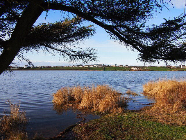
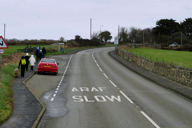
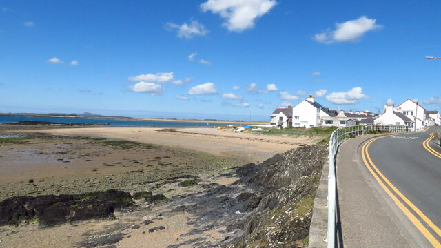
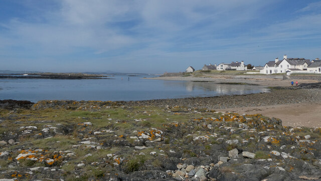
Cerrig-y-brain is a small village located on the Isle of Anglesey, off the northwest coast of Wales. It is nestled in the picturesque countryside, surrounded by rolling green hills and farmland. The village is situated around 5 miles southeast of the town of Amlwch and is easily accessible by road.

The name "Cerrig-y-brain" translates to "rock of the crow" in English, reflecting the local Welsh language heritage. The village has a rich history, with evidence of human settlement dating back thousands of years. Ancient burial chambers and standing stones can be found in the nearby vicinity, providing a glimpse into the area's past.

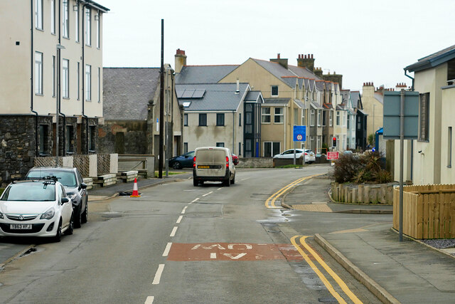
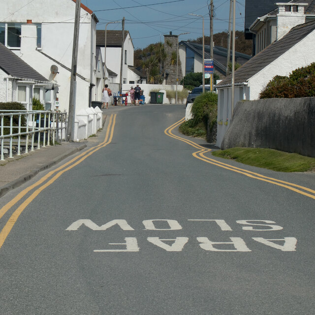
Despite its small size, Cerrig-y-brain offers a tranquil and close-knit community to its residents. The village is home to a handful of traditional stone houses, along with a church, a primary school, and a community center. The surrounding farmland provides picturesque views and the opportunity for agricultural activities.

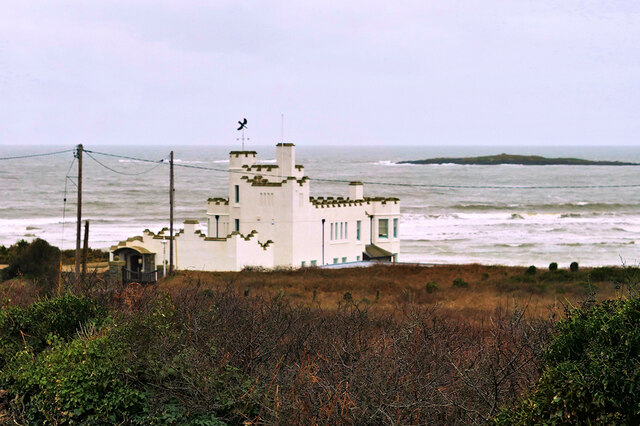
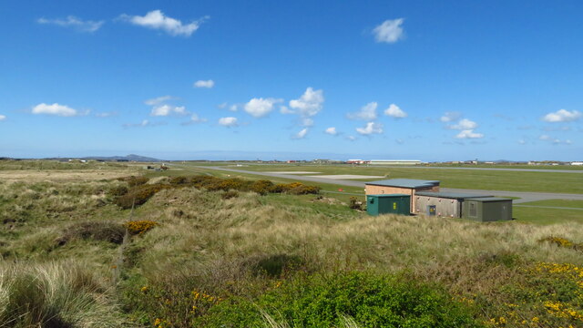
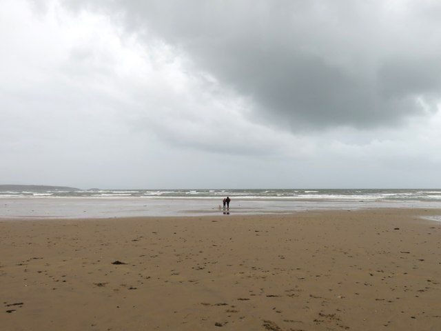
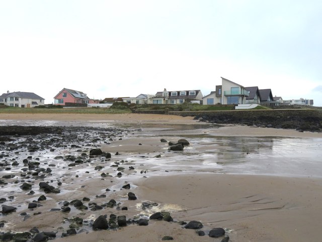
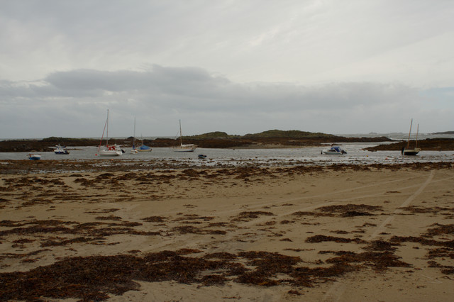
Cerrig-y-brain is ideally located for those seeking a peaceful rural lifestyle, with ample opportunities for outdoor activities such as hiking, cycling, and birdwatching. The nearby coast offers stunning beaches and opportunities for water sports, including fishing and sailing.

Overall, Cerrig-y-brain is a charming village that offers a quiet and idyllic setting for residents and visitors alike, with its rich history, beautiful countryside, and close-knit community.

If you have any feedback on the listing, please let us know in the comments section below.

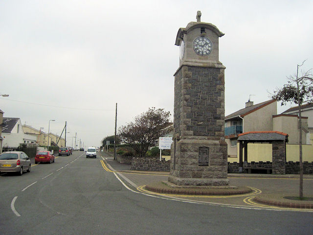
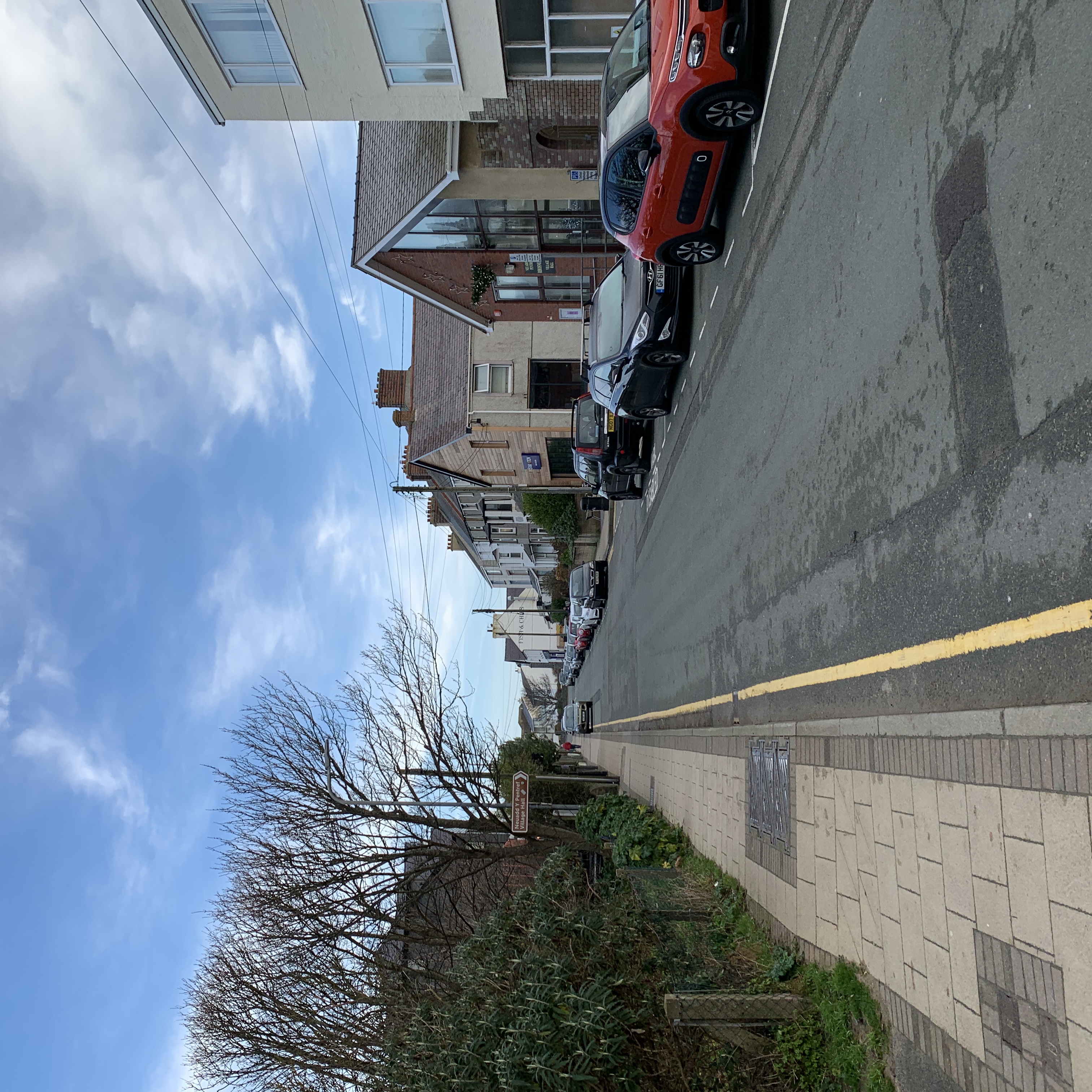
Cerrig-y-brain Images

Images are sourced within 2km of 53.223449/-4.5306366 or Grid Reference SH3172. Thanks to Geograph Open Source API. All images are credited.

Llyn Maelog
Llyn Maelog
A4080 Rhosneigr Rhosneigr is a seaside village on the southwest coast of Anglesey.
A4080 Rhosneigr
Rhosneigr is a seaside village on the southwest coast of Anglesey.
Rhosneigr, Beach Road Rhosneigr is a seaside village on the southwest coast of Anglesey.
Rhosneigr, Beach Road
Rhosneigr is a seaside village on the southwest coast of Anglesey.
Rhosneigr, Station Road The A4080 road runs for 24½ miles along the southwestern side of Anglesey. It starts on the A5 at Llanfair Pwllgwyngyll and passes through several villages before terminating on the A5 between Bryngwran and Gwalchmai.
Rhosneigr, Station Road
The A4080 road runs for 24½ miles along the southwestern side of Anglesey. It starts on the A5 at Llanfair Pwllgwyngyll and passes through several villages before terminating on the A5 between Bryngwran and Gwalchmai.
Surf Point, Rhosneigr A castellated seaside 'folly' style holiday home built to resemble a large sandcastle at the seashore. Built 1906-8 for the sausage manufacturer, C H Palethorpe, of Tipton, Worcestershire.  It is a Grade II listed building (Cadw reference 20425 <span class="nowrap"><a title="http://cadwpublic-api.azurewebsites.net/reports/listedbuilding/FullReport?lang=en&id=20425" rel="nofollow ugc noopener" href="http://cadwpublic-api.azurewebsites.net/reports/listedbuilding/FullReport?lang=en&id=20425">Link</a><img style="margin-left:2px;" alt="External link" title="External link - shift click to open in new window" src="https://s1.geograph.org.uk/img/external.png" width="10" height="10"/></span> ).
Surf Point, Rhosneigr
A castellated seaside 'folly' style holiday home built to resemble a large sandcastle at the seashore. Built 1906-8 for the sausage manufacturer, C H Palethorpe, of Tipton, Worcestershire. It is a Grade II listed building (Cadw reference 20425 LinkExternal link ).
Layby on the A4080 above Rhosneigr The A4080 road runs for 24½ miles along the southwestern side of Anglesey. It starts on the A5 at Llanfair Pwllgwyngyll and passes through several villages before terminating on the A5 between Bryngwran and Gwalchmai.
Layby on the A4080 above Rhosneigr
The A4080 road runs for 24½ miles along the southwestern side of Anglesey. It starts on the A5 at Llanfair Pwllgwyngyll and passes through several villages before terminating on the A5 between Bryngwran and Gwalchmai.
Beach at Rhosneigr
Beach at Rhosneigr
Valley Airfield & Tywyn Trewan Common
Harrison Drive
Harrison Drive
Araf / Slow
Araf / Slow
Traeth Rhosneigr / Rhosneigr Beach
Rhosneigr o Fraich Parlwr / Rhosneigr from Braich Parlwr
Walking the dog on a damp day Just a few hardy dog walkers were braving the elements on a damp and windy day at Traeth Llydan.
Walking the dog on a damp day
Just a few hardy dog walkers were braving the elements on a damp and windy day at Traeth Llydan.
Seaside properties Rhosneigr Some fine coastal views from these properties, but triple glazing needed during winter storms.
Seaside properties Rhosneigr
Some fine coastal views from these properties, but triple glazing needed during winter storms.
Memorial Clock Tower, Rhosneigr
Sea Breeze, Rhosneigr
The Boat Pool, Rhosneigr
Centre of Rhosneigr showing clock tower
Show me another place!

Cerrig-y-brain is located at Grid Ref: SH3172 (Lat: 53.223449, Lng: -4.5306366)

Unitary Authority: Isle of Anglesey

Police Authority: North Wales

What 3 Words

///nips.custard.space. Near Rhosneigr, Isle of Anglesey

Related Wikis

Rhosneigr

Rhosneigr (English: ; Welsh: [r̥oːsˈnɛiɡr] ) is a village in the south-west of Anglesey, north Wales. It is situated on the A4080 road. It is south-east...

Ynys Feurig

Ynys Feurig (also spelt Ynys Feirig) is the name for a set of three small inter-connected low-lying inshore tidal rocky islets (3.1 ha in extent), lying...

Rhosneigr railway station

Rhosneigr railway station serves the village of Rhosneigr on the Isle of Anglesey, off the coast of north Wales. The unstaffed station is managed by Transport...

Barclodiad y Gawres

Barclodiad y Gawres (Welsh for 'The Giantess's Apronful'; Welsh pronunciation: [barkˌlɔdjad ə ˈgau̯rɛs]) is a Neolithic burial chamber between Rhosneigr...

Nearby Amenities

Located within 500m of 53.223449,-4.5306366
Source: PGS
Lat/Long: 53.2243567/-4.5237396
Source: PGS
Lat/Long: 53.2251306/-4.5246516
Source: PGS
Lat/Long: 53.224787/-4.5245497
Source: PGS
Lat/Long: 53.2244691/-4.5245819
Source: PGS
Lat/Long: 53.2242153/-4.524201
Source: PGS
Lat/Long: 53.2243117/-4.5244799
The data included in this document is from www.openstreetmap.org. The data is made available under ODbL.

Have you been to Cerrig-y-brain?

Leave your review of Cerrig-y-brain below (or comments, questions and feedback).