Blaeberry Island

Island in Wigtownshire

Scotland

Blaeberry Island

Loch Hempton One of many lochs and lochans on the Machar
Loch Hempton Credit: Jon Alexander

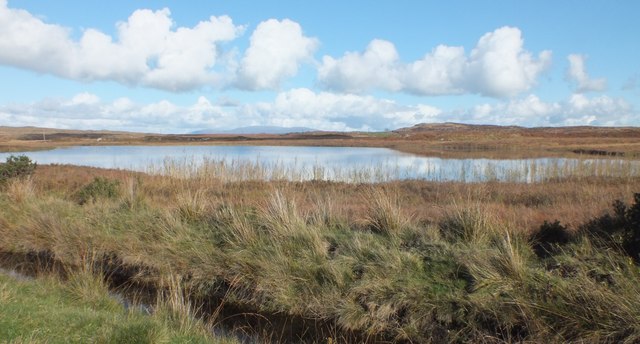
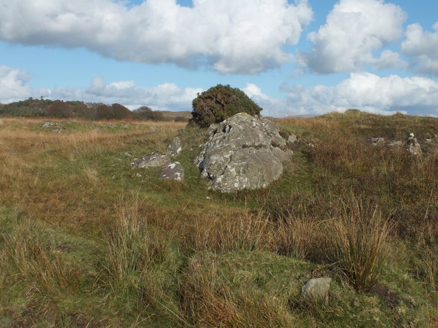
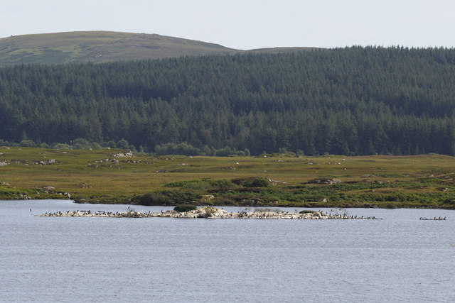
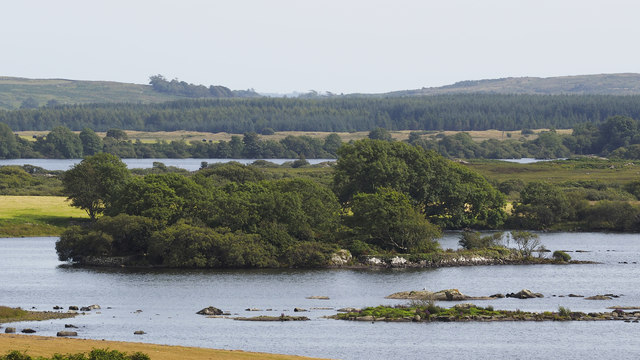
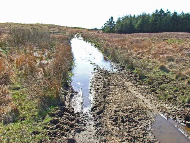
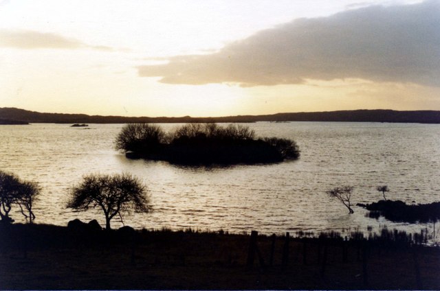
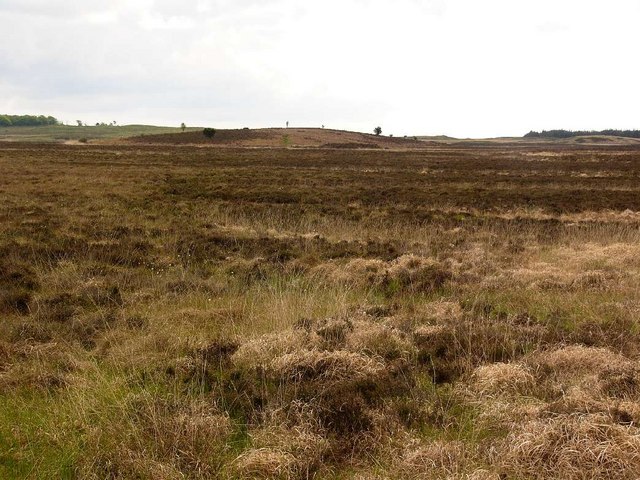
Blaeberry Island is a small, uninhabited island located in Wigtownshire, Scotland. Situated in the North Channel, between the mainland and the larger Isle of Whithorn, it is approximately 1.5 kilometers in length and covers an area of about 30 hectares. The island is known for its rugged, rocky terrain, with steep cliffs and a few small sandy beaches.

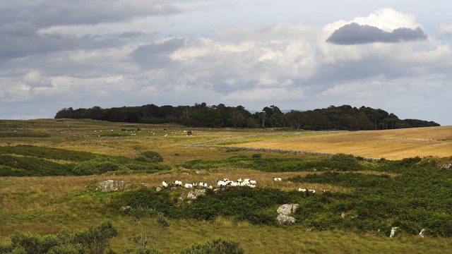
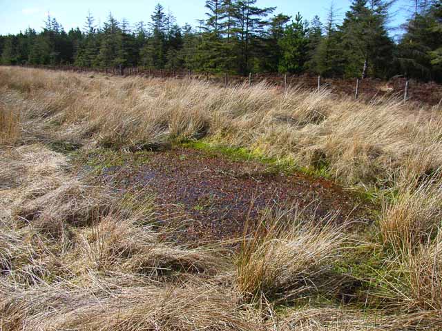
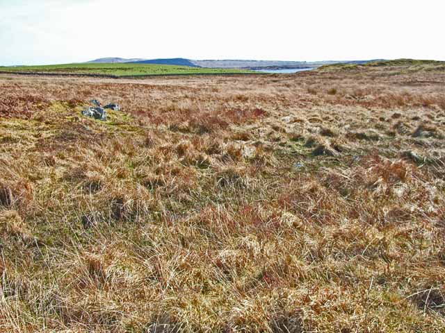
The name Blaeberry Island derives from the abundance of blaeberry bushes, also known as bilberries, that grow across its landscape. These small, edible berries are a common sight on the island and attract various bird species, including seabirds such as guillemots and razorbills.

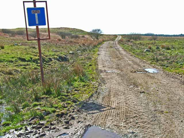
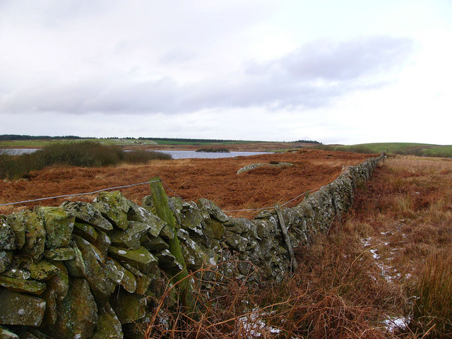
Access to Blaeberry Island is limited due to its uninhabited status and absence of regular ferry services. However, it is accessible by boat, and many visitors enjoy exploring its natural beauty and wildlife. The surrounding waters are home to a diverse array of marine life, making it a popular spot for fishing and snorkeling.

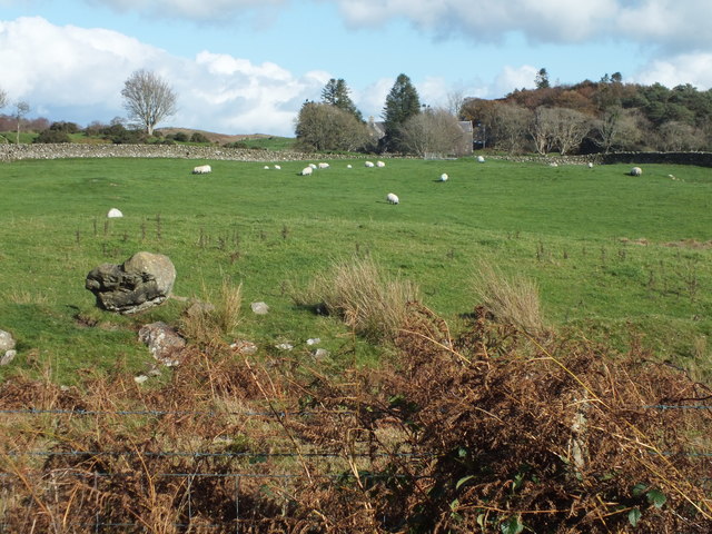
Historically, Blaeberry Island played a role in the local fishing industry, with fishermen using it as a base for their operations. Today, the island serves primarily as a nature reserve, providing a sanctuary for various seabirds and other wildlife.

Visitors to Blaeberry Island are advised to be mindful of the delicate ecosystem and to follow any guidelines set by local conservation authorities. It offers an opportunity to experience the rugged beauty of Scotland's coastal landscape and observe the abundant wildlife that thrives in this isolated island setting.

If you have any feedback on the listing, please let us know in the comments section below.

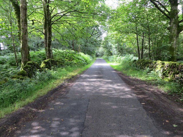
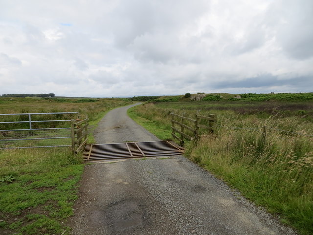
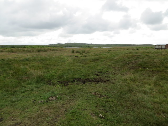
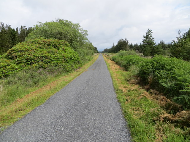
Blaeberry Island Images

Images are sourced within 2km of 54.858046/-4.6434058 or Grid Reference NX3054. Thanks to Geograph Open Source API. All images are credited.

Loch Hempton One of many lochs and lochans on the Machar
Loch Hempton
One of many lochs and lochans on the Machar
Tufted Rock In an otherwise windswept landscape the clump of gorse is managing to hang on to the top of the rock.
Tufted Rock
In an otherwise windswept landscape the clump of gorse is managing to hang on to the top of the rock.
Sheep Grazing Craigeach House in the background.
Sheep Grazing
Craigeach House in the background.
A Wall Of Root Plates Clearfelling the area nearest the camera has caused the conifers on the edge of the standing timber to lose their tenuous grip and get blown over.
A Wall Of Root Plates
Clearfelling the area nearest the camera has caused the conifers on the edge of the standing timber to lose their tenuous grip and get blown over.
Minor road beside Mochrum Loch passing through Heathery Ward Wood Looking south-westward.
Minor road beside Mochrum Loch passing through Heathery Ward Wood
Looking south-westward.
Minor road crossing the Moor of Drumwalt Looking north-westward.
Minor road crossing the Moor of Drumwalt
Looking north-westward.
Rough moorland used for cattle and sheep grazing Looking south-eastward towards Fell Loch
Rough moorland used for cattle and sheep grazing
Looking south-eastward towards Fell Loch
Minor road near to Loch Wayoch Looking northward.
Minor road near to Loch Wayoch
Looking northward.
Cormorant nesting colony, Castle Loch Castle Loch and neighbouring Mochrum Loch between them have the largest freshwater breeding colony of cormorants in Scotland, known to have existed since at least 1663. This year there appear to be increased numbers of birds nesting in these colonies and there are several rocky islets occupied in each of the two lochs, of which this is the biggest.  The occupied islands are almost completely bare of vegetation.
Cormorant nesting colony, Castle Loch
Castle Loch and neighbouring Mochrum Loch between them have the largest freshwater breeding colony of cormorants in Scotland, known to have existed since at least 1663. This year there appear to be increased numbers of birds nesting in these colonies and there are several rocky islets occupied in each of the two lochs, of which this is the biggest. The occupied islands are almost completely bare of vegetation.
Castle Island Excavations on the island last century showed the ruins to be of a mediaeval manor house. There is speculation that prior to that it may have been a religious site. The island is completely encircled by a substantial stone wall, which can be clearly seen in the picture, and a submerged causeway connects it to the mainland.
Castle Island
Excavations on the island last century showed the ruins to be of a mediaeval manor house. There is speculation that prior to that it may have been a religious site. The island is completely encircled by a substantial stone wall, which can be clearly seen in the picture, and a submerged causeway connects it to the mainland.
Challochglass Plantation A shelterbelt planted originally to protect the farm of Challochglass from the worst of the wind.
Challochglass Plantation
A shelterbelt planted originally to protect the farm of Challochglass from the worst of the wind.
...and worse The road which left the tarmac at <a href="https://www.geograph.org.uk/gridref/NX2654">NX2654</a> is virtually impassable over this stretch, even on foot!
...and worse
The road which left the tarmac at NX2654 is virtually impassable over this stretch, even on foot!
A slight improvement The road which left the tarmac at <a href="https://www.geograph.org.uk/gridref/NX2654">NX2654</a> and deteriorated so badly through the forest begins to improve - slightly!
A slight improvement
The road which left the tarmac at NX2654 and deteriorated so badly through the forest begins to improve - slightly!
A decent surface again! The road which left the tarmac at <a href="https://www.geograph.org.uk/gridref/NX2654">NX2654</a> and deteriorated so badly through the forest, at last becomes a decent track again. The tarmac starts again just this side of the camera.
A decent surface again!
The road which left the tarmac at NX2654 and deteriorated so badly through the forest, at last becomes a decent track again. The tarmac starts again just this side of the camera.
Challochglass Moor Castle Loch can be glimpsed in the distance
Challochglass Moor
Castle Loch can be glimpsed in the distance
Castle Island, Castle Loch The ruins on the island were excavated early last century and it was shown to be the remains of a fortified mediaeval manor house. A submerged causeway connects the island to the mainland.
Castle Island, Castle Loch
The ruins on the island were excavated early last century and it was shown to be the remains of a fortified mediaeval manor house. A submerged causeway connects the island to the mainland.
Drumdow Moss and Far Hill
Castle Loch from the south The dyke running towards the south shore of Castle Loch is the march between Drumblair and Challochglass.
Castle Loch from the south
The dyke running towards the south shore of Castle Loch is the march between Drumblair and Challochglass.
Show me another place!

Blaeberry Island is located at Grid Ref: NX3054 (Lat: 54.858046, Lng: -4.6434058)

Unitary Authority: Dumfries and Galloway

Police Authority: Dumfries and Galloway

What 3 Words

///portfolio.testing.pelting. Near Newton Stewart, Dumfries & Galloway

Related Wikis

Mochrum Loch

Mochrum Loch is a large, irregular shaped, shallow, freshwater loch in Dumfries and Galloway, in the Southern Uplands of south-west Scotland. It lies approximately...

Castle Loch, Dumfries and Galloway

Castle Loch is a large, shallow, freshwater loch in Dumfries and Galloway, in the Southern Uplands of south-west Scotland. It lies to the west of Mochrum...

Castle Loch

Castle Loch is a shallow eutrophic loch covering an area of around 100 hectares in the town of Lochmaben in Dumfries and Galloway, Scotland. It lies to...

Doon of May

The Doon of May is a conifer plantation associated with an Iron Age hill fort in Dumfries and Galloway, south-west Scotland. Located around 14 kilometres...

Machars

The Machars (Scottish Gaelic: Machair Ghallghaidhealaibh) is a peninsula in the historical county of Wigtownshire in Galloway in the south-west of Scotland...

Barhapple Loch

Barhapple Loch is a small semicircular freshwater loch located in Wigtownshire, Dumfries and Galloway in Scotland. Barhapple Loch is principally known...

Kirkcowan

Kirkcowan is an area about 15 miles in length, and from nearly two to nearly seven miles in breadth, comprising 30,580 acres, of which 7000 are arable...

Kirkcowan railway station

Kirkcowan railway station served the village of Kirkcowan, Dumfries and Galloway, Scotland from 1861 to 1965 on the Portpatrick and Wigtownshire Joint...

Nearby Amenities

Located within 500m of 54.858046,-4.6434058
Barrier: cattle_grid
Lat/Long: 54.8549272/-4.6392184
Power: pole
Lat/Long: 54.8594773/-4.6372254
Power: pole
Lat/Long: 54.8595588/-4.6385377
Power: pole
Lat/Long: 54.8596403/-4.6398522
Power: pole
Lat/Long: 54.859717/-4.641171
Power: pole
Lat/Long: 54.8598033/-4.6424918
Power: pole
Lat/Long: 54.8598873/-4.6438105
Power: pole
Lat/Long: 54.8599663/-4.6450679
Power: pole
Lat/Long: 54.860049/-4.6464247
Power: pole
Lat/Long: 54.8601257/-4.647699
Power: pole
Lat/Long: 54.860206/-4.6490642
The data included in this document is from www.openstreetmap.org. The data is made available under ODbL.

Have you been to Blaeberry Island?

Leave your review of Blaeberry Island below (or comments, questions and feedback).