Black Loch

Lake, Pool, Pond, Freshwater Marsh in Wigtownshire

Scotland

Black Loch

Loch Hempton One of many lochs and lochans on the Machar
Loch Hempton Credit: Jon Alexander

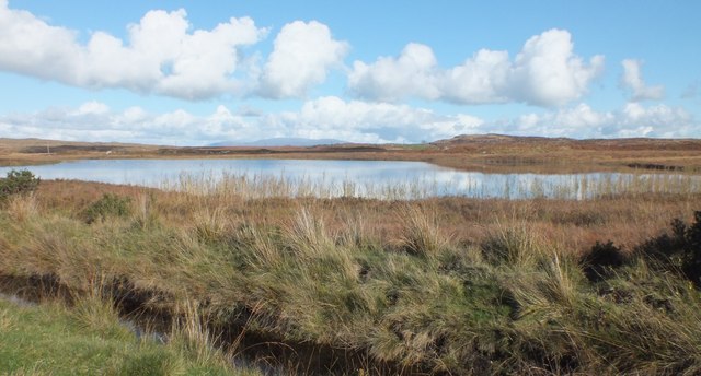
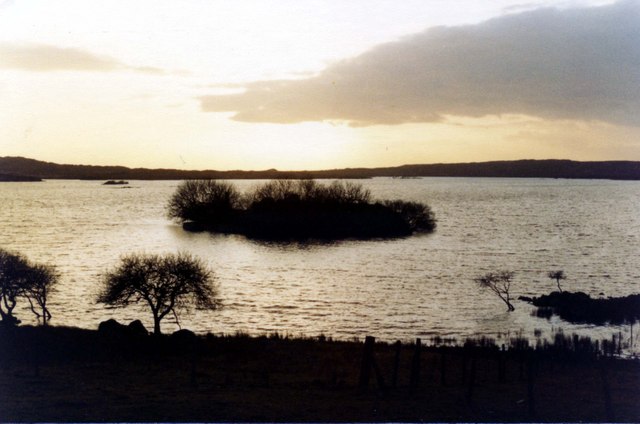
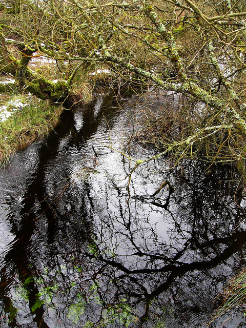
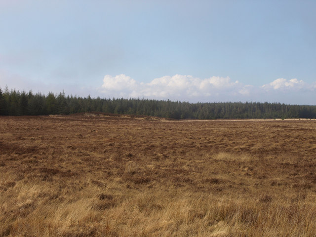
Black Loch is a picturesque freshwater loch located in Wigtownshire, Scotland. Situated near the village of Dunragit, it covers an area of approximately 15 hectares and is surrounded by rolling hills and lush greenery. The loch is easily accessible and attracts visitors from near and far.

As a freshwater body, Black Loch provides a habitat for a diverse range of flora and fauna. The surrounding wetlands and marshes are home to a variety of plant species, including reeds, rushes, and water lilies. These plants not only add to the natural beauty of the area but also provide nesting grounds and food sources for a wide array of bird species.

Birdwatchers are particularly drawn to Black Loch due to its status as a Special Protection Area (SPA) for its significant bird population. The loch is known to host numerous waterfowl species, such as tufted ducks, teal, and wigeons. Other bird species that can be spotted include swans, herons, and even ospreys during migration seasons.

Anglers also frequent Black Loch, as it offers excellent fishing opportunities. The loch is well-stocked with fish, including brown trout and perch, making it an ideal spot for both beginners and experienced anglers.

In addition to its natural beauty and wildlife, Black Loch provides a tranquil and serene environment for visitors to enjoy. Its calm waters and peaceful surroundings make it an ideal destination for boating, picnicking, and quiet walks along the shore.

Overall, Black Loch is a hidden gem in Wigtownshire, offering a diverse range of natural attractions and recreational opportunities for nature enthusiasts and visitors seeking tranquility.

If you have any feedback on the listing, please let us know in the comments section below.
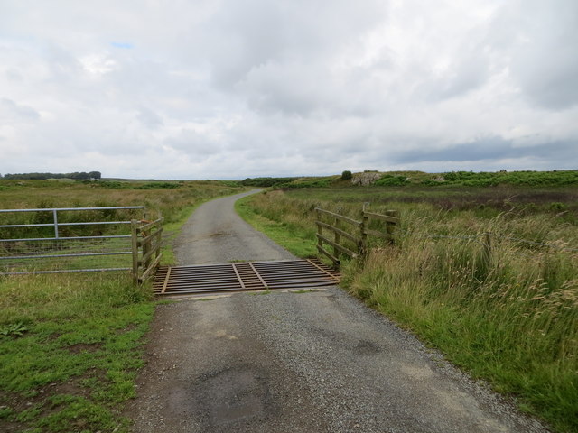
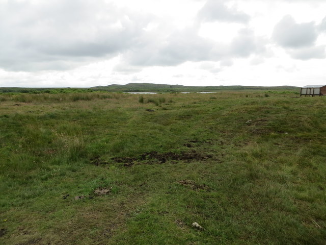
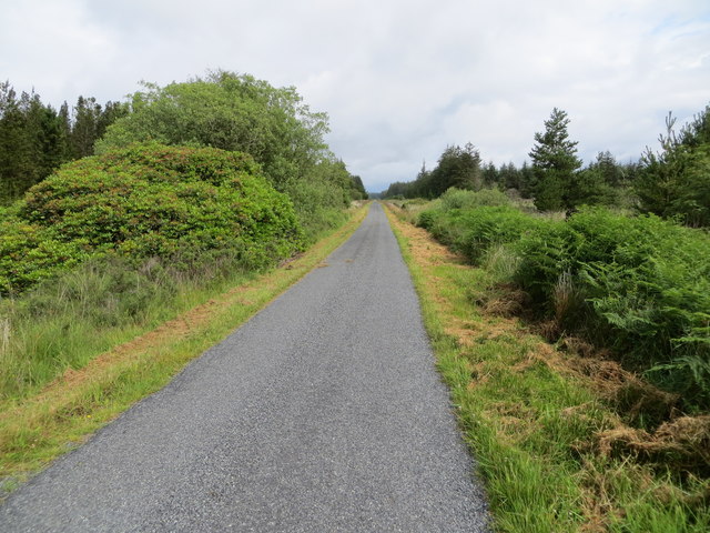
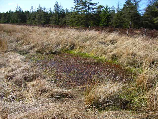
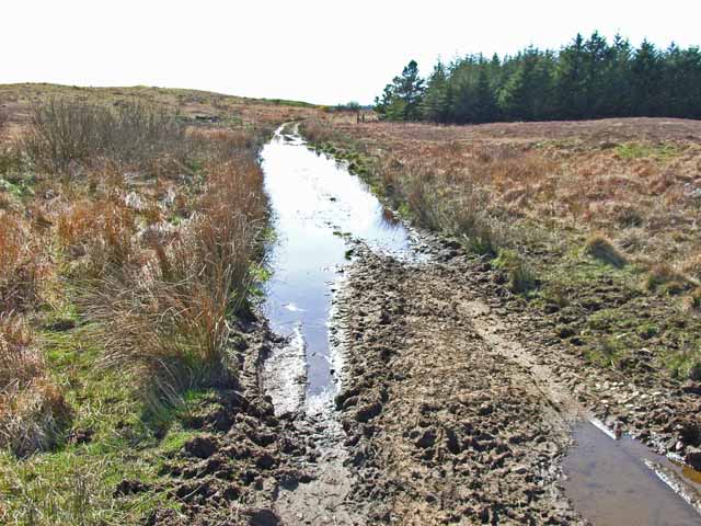
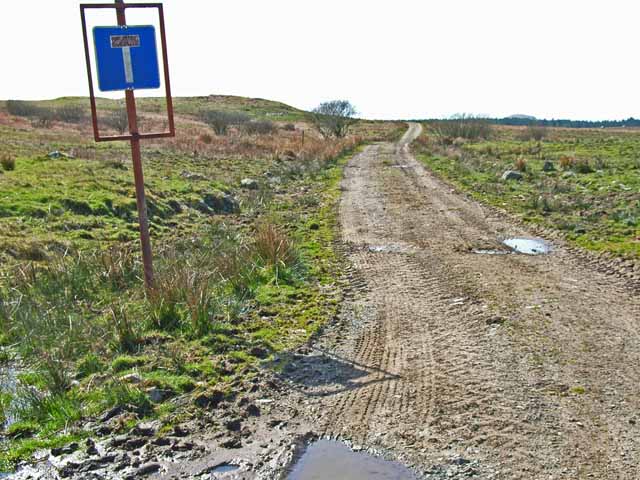
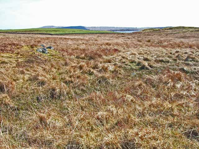
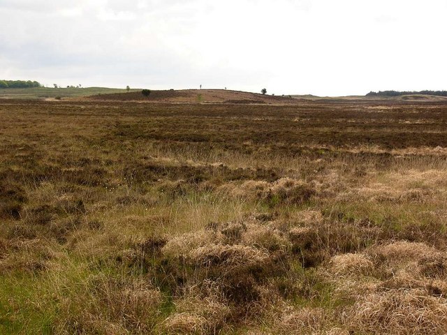
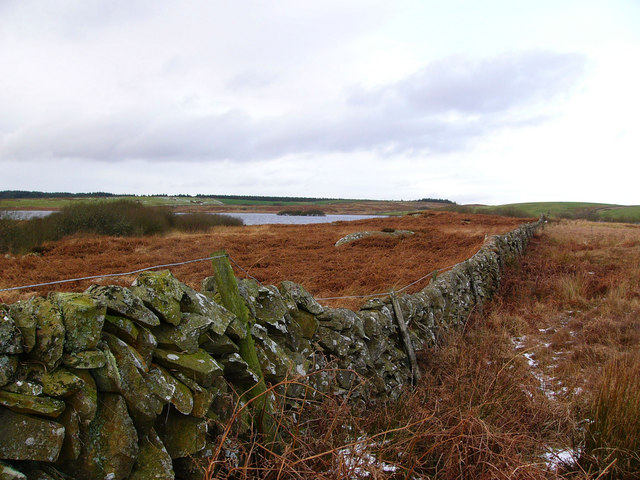
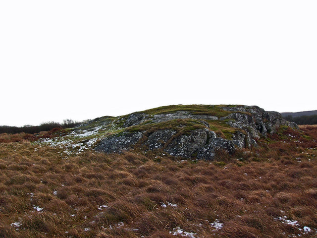
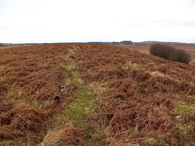
Black Loch Images

Images are sourced within 2km of 54.857249/-4.6461585 or Grid Reference NX3054. Thanks to Geograph Open Source API. All images are credited.

Loch Hempton One of many lochs and lochans on the Machar
Loch Hempton
One of many lochs and lochans on the Machar
Tufted Rock In an otherwise windswept landscape the clump of gorse is managing to hang on to the top of the rock.
Tufted Rock
In an otherwise windswept landscape the clump of gorse is managing to hang on to the top of the rock.
Sheep Grazing Craigeach House in the background.
Sheep Grazing
Craigeach House in the background.
Minor road beside Mochrum Loch passing through Heathery Ward Wood Looking south-westward.
Minor road beside Mochrum Loch passing through Heathery Ward Wood
Looking south-westward.
Minor road crossing the Moor of Drumwalt Looking north-westward.
Minor road crossing the Moor of Drumwalt
Looking north-westward.
Rough moorland used for cattle and sheep grazing Looking south-eastward towards Fell Loch
Rough moorland used for cattle and sheep grazing
Looking south-eastward towards Fell Loch
Minor road near to Loch Wayoch Looking northward.
Minor road near to Loch Wayoch
Looking northward.
...and worse The road which left the tarmac at <a href="https://www.geograph.org.uk/gridref/NX2654">NX2654</a> is virtually impassable over this stretch, even on foot!
...and worse
The road which left the tarmac at NX2654 is virtually impassable over this stretch, even on foot!
A slight improvement The road which left the tarmac at <a href="https://www.geograph.org.uk/gridref/NX2654">NX2654</a> and deteriorated so badly through the forest begins to improve - slightly!
A slight improvement
The road which left the tarmac at NX2654 and deteriorated so badly through the forest begins to improve - slightly!
A decent surface again! The road which left the tarmac at <a href="https://www.geograph.org.uk/gridref/NX2654">NX2654</a> and deteriorated so badly through the forest, at last becomes a decent track again. The tarmac starts again just this side of the camera.
A decent surface again!
The road which left the tarmac at NX2654 and deteriorated so badly through the forest, at last becomes a decent track again. The tarmac starts again just this side of the camera.
Challochglass Moor Castle Loch can be glimpsed in the distance
Challochglass Moor
Castle Loch can be glimpsed in the distance
Castle Island, Castle Loch The ruins on the island were excavated early last century and it was shown to be the remains of a fortified mediaeval manor house. A submerged causeway connects the island to the mainland.
Castle Island, Castle Loch
The ruins on the island were excavated early last century and it was shown to be the remains of a fortified mediaeval manor house. A submerged causeway connects the island to the mainland.
Drumdow Moss and Far Hill
Castle Loch from the south The dyke running towards the south shore of Castle Loch is the march between Drumblair and Challochglass.
Castle Loch from the south
The dyke running towards the south shore of Castle Loch is the march between Drumblair and Challochglass.
Roche moutonnée near Castle Loch A glacial feature formed where protruding bedrock has been smoothed on its upstream side by ice flowing over it, but on the downstream side the ice has plucked stone away, leaving a steeper more broken face. The ice would have flowed over this rock from left to right.
Roche moutonnée near Castle Loch
A glacial feature formed where protruding bedrock has been smoothed on its upstream side by ice flowing over it, but on the downstream side the ice has plucked stone away, leaving a steeper more broken face. The ice would have flowed over this rock from left to right.
Darnarble This is a long low drumlin on Drumwalt Moor. The name on the map, Darnarble (which is from the Gaelic dur an arbaill - the stream of the horse tail) probably refers to a burn shown running beside it, in reality no more than a drainage ditch.
Darnarble
This is a long low drumlin on Drumwalt Moor. The name on the map, Darnarble (which is from the Gaelic dur an arbaill - the stream of the horse tail) probably refers to a burn shown running beside it, in reality no more than a drainage ditch.
Castle Loch burn This unnamed burn runs out of Castle Loch and into Mochrum Loch. Despite being choked with willow scrub it is very deep, making it difficult to cross.
Castle Loch burn
This unnamed burn runs out of Castle Loch and into Mochrum Loch. Despite being choked with willow scrub it is very deep, making it difficult to cross.
Corbie Craig This small rock outcrop (the crows crag)  is the only named feature in this square.
Corbie Craig
This small rock outcrop (the crows crag) is the only named feature in this square.
Show me another place!

Black Loch is located at Grid Ref: NX3054 (Lat: 54.857249, Lng: -4.6461585)

Unitary Authority: Dumfries and Galloway

Police Authority: Dumfries and Galloway

What 3 Words

///late.unable.dockers. Near Newton Stewart, Dumfries & Galloway

Related Wikis

Mochrum Loch

Mochrum Loch is a large, irregular shaped, shallow, freshwater loch in Dumfries and Galloway, in the Southern Uplands of south-west Scotland. It lies approximately...

Castle Loch, Dumfries and Galloway

Castle Loch is a large, shallow, freshwater loch in Dumfries and Galloway, in the Southern Uplands of south-west Scotland. It lies to the west of Mochrum...

Castle Loch

Castle Loch is a shallow eutrophic loch covering an area of around 100 hectares in the town of Lochmaben in Dumfries and Galloway, Scotland. It lies to...

Doon of May

The Doon of May is a conifer plantation associated with an Iron Age hill fort in Dumfries and Galloway, south-west Scotland. Located around 14 kilometres...

Nearby Amenities

Located within 500m of 54.857249,-4.6461585
Power: pole
Lat/Long: 54.8596403/-4.6398522
Power: pole
Lat/Long: 54.859717/-4.641171
Power: pole
Lat/Long: 54.8598033/-4.6424918
Power: pole
Lat/Long: 54.8598873/-4.6438105
Power: pole
Lat/Long: 54.8599663/-4.6450679
Power: pole
Lat/Long: 54.860049/-4.6464247
Power: pole
Lat/Long: 54.8601257/-4.647699
Power: pole
Lat/Long: 54.860206/-4.6490642
Power: pole
Lat/Long: 54.860296/-4.6503703
Power: pole
Lat/Long: 54.8603811/-4.6516699
The data included in this document is from www.openstreetmap.org. The data is made available under ODbL.

Have you been to Black Loch?

Leave your review of Black Loch below (or comments, questions and feedback).