Cerrig Duon
Island in Cardiganshire
Wales
Cerrig Duon
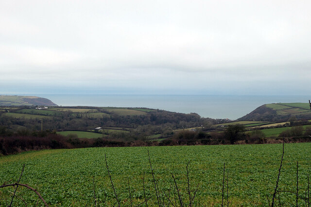
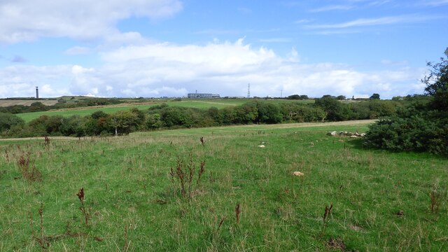
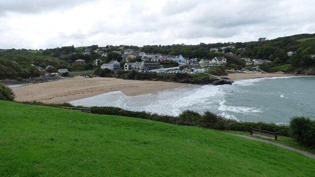
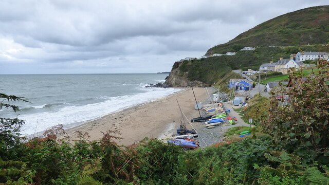
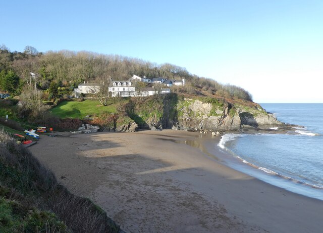
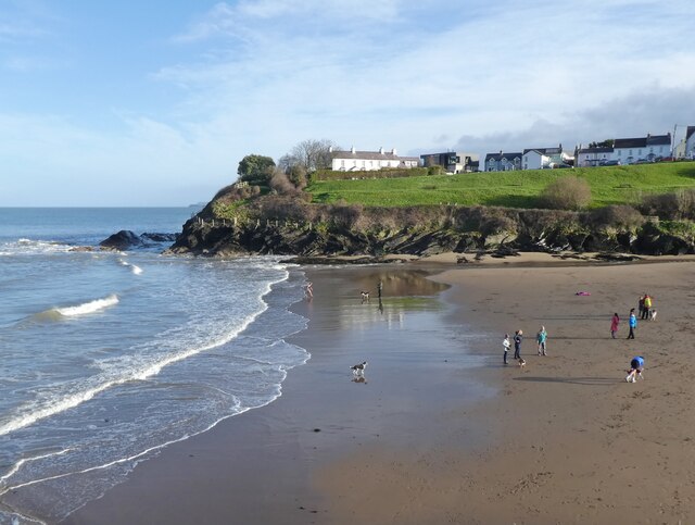
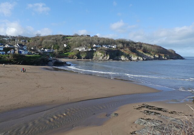
Cerrig Duon is a small island located off the coast of Cardiganshire in Wales. It is situated in Cardigan Bay, approximately 5 miles west of the town of New Quay. The island is characterized by its rugged and rocky terrain, with steep cliffs and a total land area of about 5 acres.
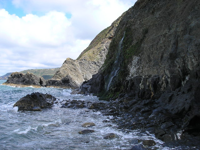
The name "Cerrig Duon" translates to "black rocks" in Welsh, which accurately reflects the island's appearance. The rocks are predominantly dark in color, giving the island a distinctive and somewhat mysterious atmosphere.
Due to its remote location, Cerrig Duon is largely uninhabited and has no permanent human population. However, it is home to a variety of wildlife, including seabirds, seals, and occasional sightings of dolphins and porpoises in the surrounding waters.
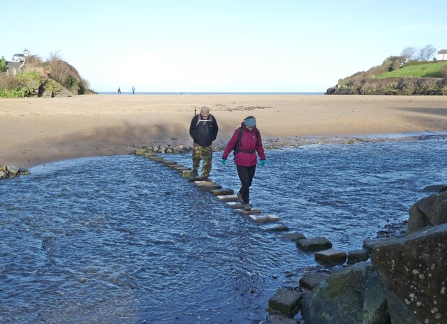
Access to the island is limited and can only be reached by boat or during low tide when a rocky causeway is exposed. The island is a popular destination for birdwatchers and nature enthusiasts, who are attracted by the diverse range of bird species that can be found nesting in the cliffs.
Cerrig Duon has a rich history, with archaeological evidence suggesting human activity on the island dating back to the Neolithic period. The ruins of a small stone structure, believed to be a medieval chapel, can still be seen today.
Overall, Cerrig Duon is a unique and picturesque island, offering visitors a chance to experience the beauty of the Welsh coastline and immerse themselves in its fascinating history and wildlife.
If you have any feedback on the listing, please let us know in the comments section below.
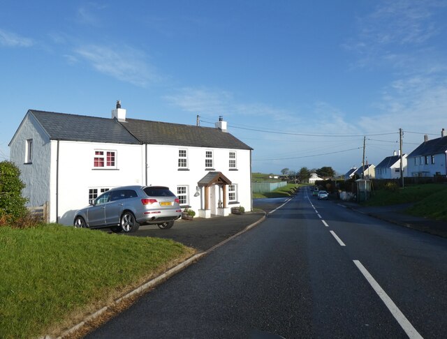
Cerrig Duon Images
Images are sourced within 2km of 52.136377/-4.5442493 or Grid Reference SN2551. Thanks to Geograph Open Source API. All images are credited.
Cerrig Duon is located at Grid Ref: SN2551 (Lat: 52.136377, Lng: -4.5442493)
Unitary Authority: Ceredigion
Police Authority: Dyfed Powys
What 3 Words
///connects.dancer.movement. Near Aberporth, Ceredigion
Nearby Locations
Related Wikis
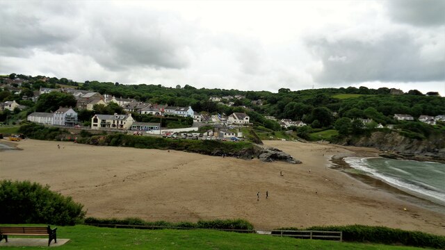
Aberporth
Aberporth is a seaside village, community and electoral ward in Ceredigion, Wales. The population at the 2001 Census, was 2,485, of whom 49 per cent could...

Clausen Rolling Platform
The Clausen Rolling Platform was a missile launching platform, built at the coastal missile test range of RAE Aberporth, West Wales, in the 1950s. It used...

Parc-llyn
Parc-llyn (also known as Parcllyn) is a village in the community of Aberporth, Ceredigion, Wales, which is 74.4 miles (119.7 km) from Cardiff and 194...
Tresaith
Tresaith (until recently, Treathsaith) is a coastal village in Ceredigion, Wales, between Aberporth and Llangranog. It is linked to the former by a two...
Rhosygadair Newydd
Rhosygadair Newydd is a small village in the community of Aberporth, Ceredigion, Wales, which is 73.9 miles (118.9 km) from Cardiff and 194.1 miles (312...
Aberporth Airport
Aberporth Airport (ICAO: EGFA) (Welsh: Maes Awyr Aber-porth) is situated southwest of Aberporth, Ceredigion, Wales. The airport is being developed as West...
Dyffryn-bern
Dyffryn-bern is a small village in the community of Penbryn, Ceredigion, Wales, which is 72.4 miles (116.5 km) from Cardiff and 191.8 miles (308.6 km...
Llain-wen
Llain-wen is a hamlet in the community of Penbryn, Ceredigion, Wales, which is 71.9 miles (115.7 km) from Cardiff and 191.9 miles (308.8 km) from London...
Nearby Amenities
Located within 500m of 52.136377,-4.5442493Have you been to Cerrig Duon?
Leave your review of Cerrig Duon below (or comments, questions and feedback).