Barrel Rock
Island in Cornwall
England
Barrel Rock
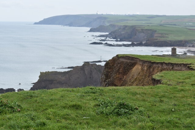
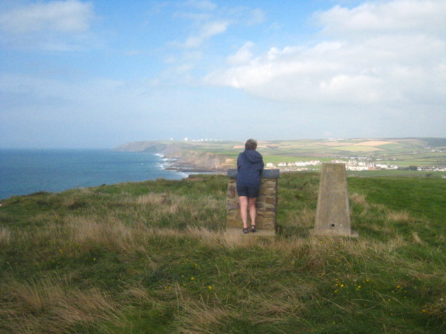
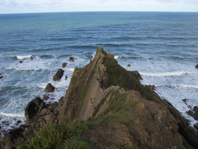
Barrel Rock is a small island located off the coast of Cornwall, England. Situated in the Celtic Sea, it is known for its dramatic cliffs, rugged coastline, and diverse marine life. The island gets its name from a large rock formation resembling a barrel, which stands prominently on its eastern side.
Covering an area of approximately 10 acres, Barrel Rock is uninhabited and primarily serves as a sanctuary for various seabirds, including gannets, puffins, and cormorants. The island's steep cliffs provide ideal nesting sites for these birds, making it a popular spot for birdwatchers and wildlife enthusiasts.
Access to Barrel Rock is restricted due to its protected status, with only authorized researchers and conservationists allowed to visit. This ensures the preservation of its delicate ecosystem and prevents disturbance to the nesting birds.
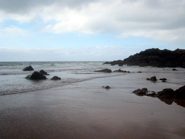
The island's geology is notable, with layers of slate and granite forming its distinctive cliffs and caves. During low tide, it is possible to witness fascinating rock formations and explore small secluded beaches that are otherwise inaccessible at high tide.
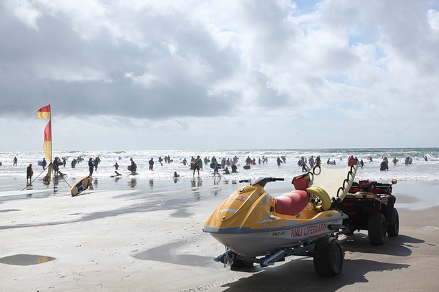
Boat trips and guided tours are available from nearby coastal towns, allowing visitors to experience the beauty of Barrel Rock from the water. These excursions often include opportunities for snorkeling and diving, revealing the rich underwater world surrounding the island.
Barrel Rock, Cornwall, offers a unique and unspoiled natural environment, making it a cherished destination for nature lovers seeking tranquility and an escape from the mainland's bustling crowds.
If you have any feedback on the listing, please let us know in the comments section below.
Barrel Rock Images
Images are sourced within 2km of 50.831854/-4.5574935 or Grid Reference SS1906. Thanks to Geograph Open Source API. All images are credited.
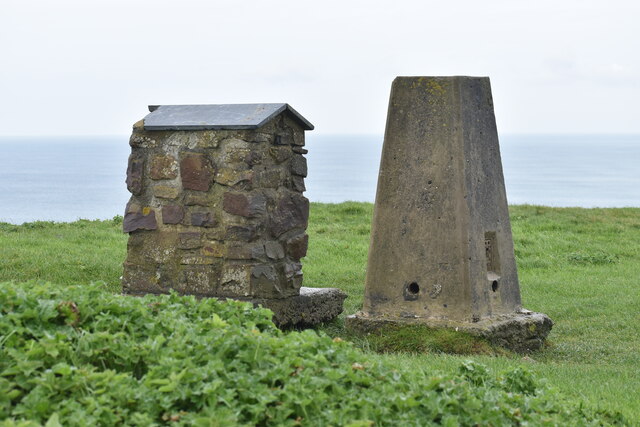
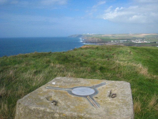


Barrel Rock is located at Grid Ref: SS1906 (Lat: 50.831854, Lng: -4.5574935)
Unitary Authority: Cornwall
Police Authority: Devon and Cornwall
What 3 Words
///explored.lunging.flaunting. Near Flexbury, Cornwall
Nearby Locations
Related Wikis

Bude Sea Pool
Bude Sea Pool is a partially man-made tidal swimming pool or lido in the rocks at Summerleaze Beach, Bude, Cornwall. == History == In 1930, The Thynne...
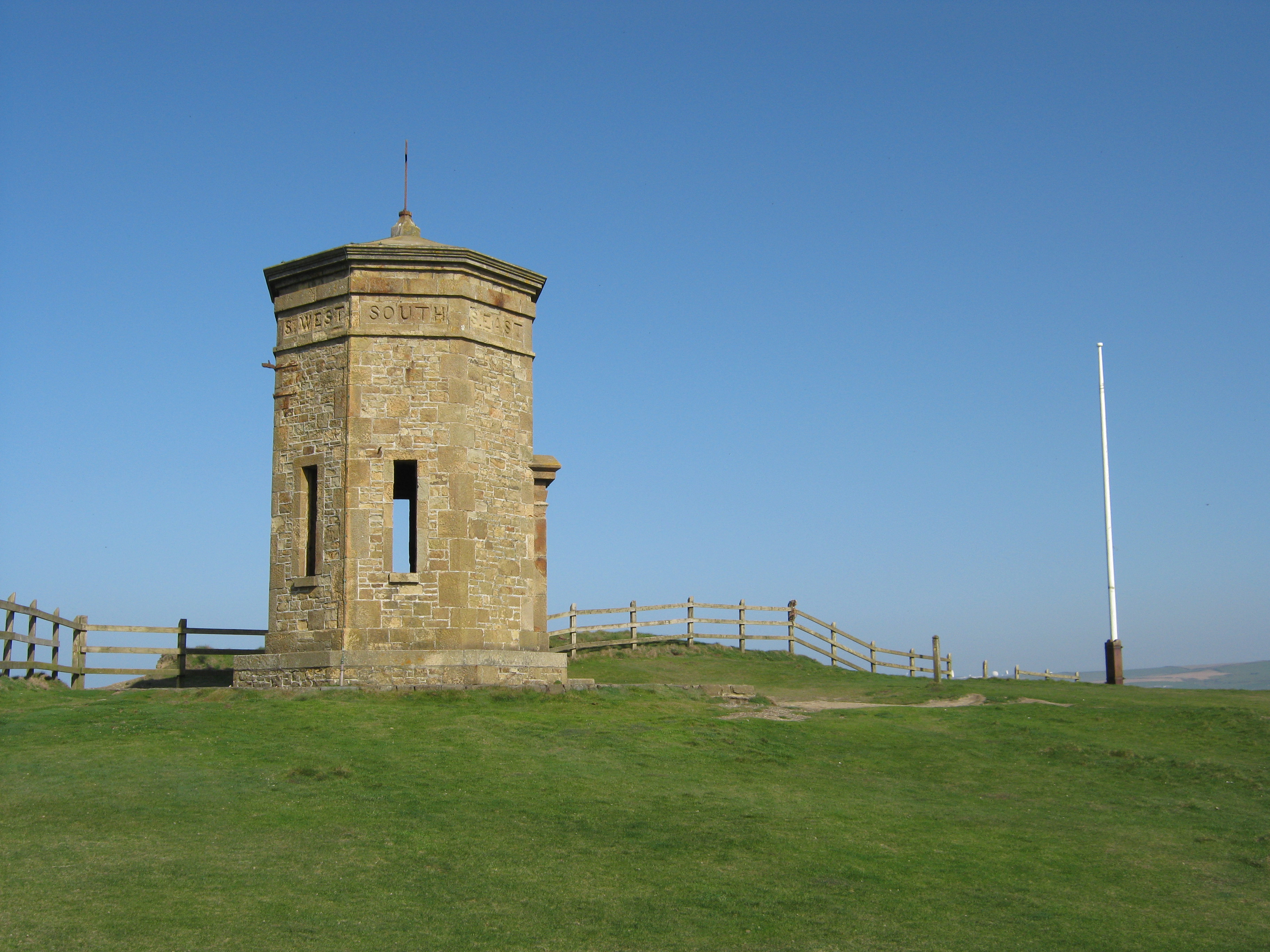
Compass Point storm tower
The Storm Tower at Compass Point, Bude–Stratton, Cornwall, England, is an octagonal lookout tower, modelled on the Tower of the Winds in Athens, Greece...

River Strat
The River Strat is a river in the northernmost part of Cornwall in southwest England. The Strat flows for 12.7 miles (20.4 km) to the sea at Bude, having...
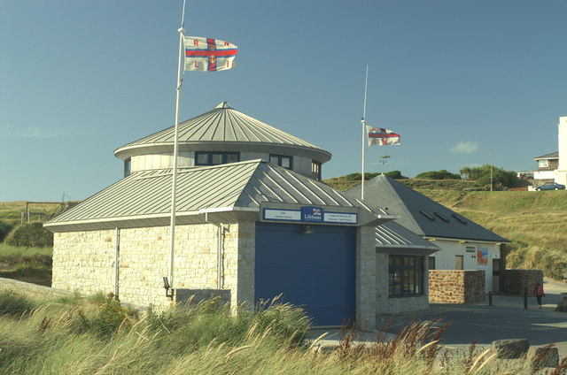
Bude Lifeboat Station
Bude Lifeboat Station is the base for Royal National Lifeboat Institution (RNLI) search and rescue operations at Bude, Cornwall in the United Kingdom....
Nearby Amenities
Located within 500m of 50.831854,-4.5574935Have you been to Barrel Rock?
Leave your review of Barrel Rock below (or comments, questions and feedback).