Eilean Garbh

Island in Ross-shire

Scotland

Eilean Garbh

Looking south along the A835 towards the Fannichs
Looking south along the A835 towards the Fannichs Credit: Peter Moore

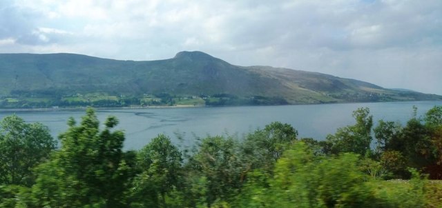
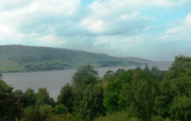
Eilean Garbh is a small uninhabited island located off the coast of Ross-shire in the Scottish Highlands. It lies in the Inner Sound, between the Isle of Skye and the mainland. The name Eilean Garbh translates to "rough island" in Gaelic, which aptly describes its rocky and rugged terrain.

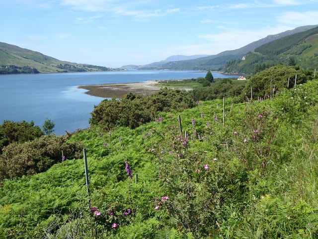
Covering an area of approximately 1.5 hectares, Eilean Garbh is a relatively small island. It is characterized by its steep cliffs, which rise dramatically from the sea, providing a striking view for visitors. The island's coastline is dotted with caves and sea arches, adding to its natural allure.

Eilean Garbh is known for its abundant wildlife, making it a popular destination for birdwatchers and nature enthusiasts. The island is home to various seabird colonies, including guillemots, razorbills, and puffins. Visitors can often spot seals basking on the rocks or swimming in the surrounding waters.

Access to Eilean Garbh is limited due to its remote location and lack of facilities. It is primarily visited by boat, and visitors are advised to take caution when approaching the island due to the treacherous waters and strong currents. The island's untouched beauty and peaceful atmosphere make it an ideal spot for those seeking solitude and a connection with nature.

In summary, Eilean Garbh is a picturesque and uninhabited island off the coast of Ross-shire, Scotland. Its rocky cliffs, diverse wildlife, and remote location contribute to its charm, making it a unique destination for nature lovers and adventurers.

If you have any feedback on the listing, please let us know in the comments section below.
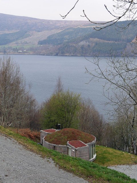
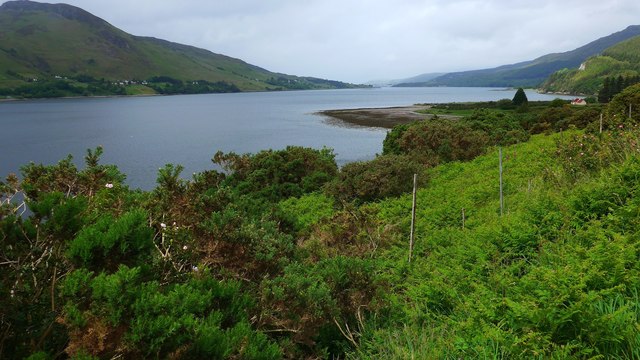
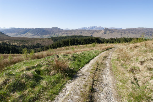
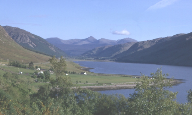
Eilean Garbh Images

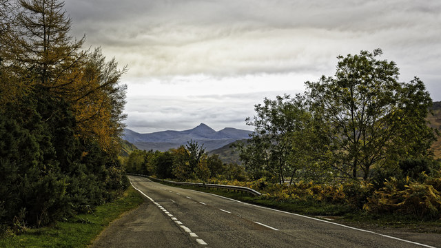
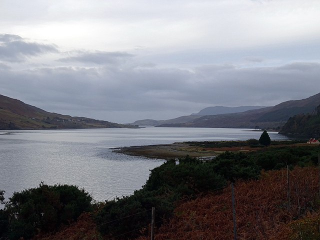
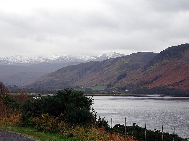
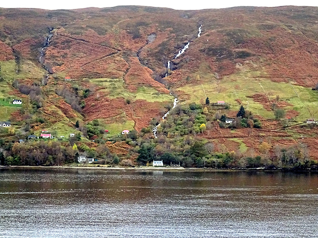
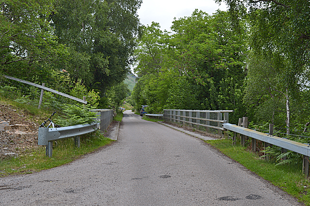
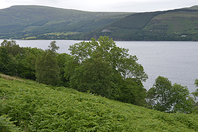
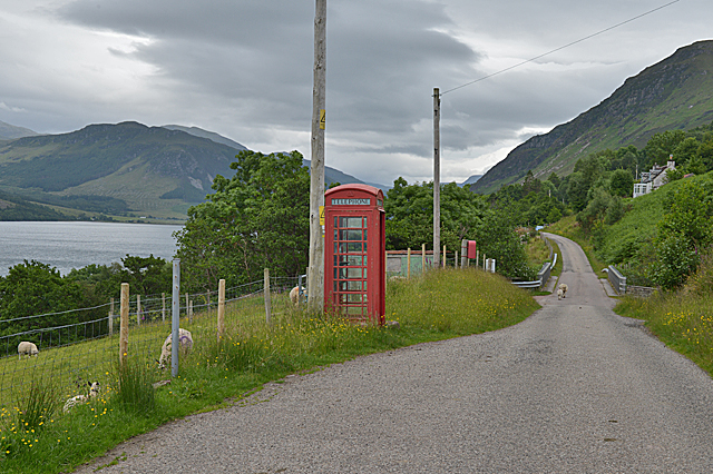
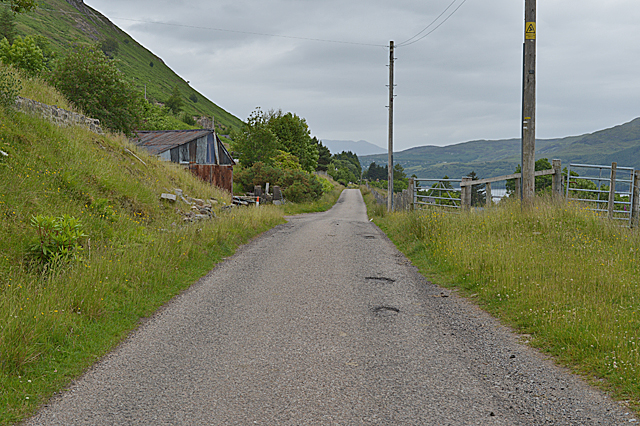
Images are sourced within 2km of 57.845526/-5.0788756 or Grid Reference NH1788. Thanks to Geograph Open Source API. All images are credited.

Looking south along the A835 towards the Fannichs
Beside Loch Broom Viewed from the A 835 road to Ullapool.
Beside Loch Broom
Viewed from the A 835 road to Ullapool.
Looking up Loch Broom From the A835 road to Ullapool.
Looking up Loch Broom
From the A835 road to Ullapool.
Looking across Loch Broom towards Letters
Bridge over the Allt Corrach in Letters
Steep slopes below the road Dropping to trees and Loch Broom.
Steep slopes below the road
Dropping to trees and Loch Broom.
Ardindrean phone box and post box
The Loggie road passing through Ardindrean
Loch Broom at Ardcharnich Taken from the A835.
Loch Broom at Ardcharnich
Taken from the A835.
Loch Broom Viewed from the A835.
Loch Broom
Viewed from the A835.
Bracken-covered slopes of Loch Broom From the car park on the A835, looking towards Ullapool in the distance.
Bracken-covered slopes of Loch Broom
From the car park on the A835, looking towards Ullapool in the distance.
Letter box at Letters, Ross and Cromarty Looking across Loch Broom towards the north western slopes of Reidh Chreagan.

A postie's dream letter box: plenty of room for parcels!
Letter box at Letters, Ross and Cromarty
Looking across Loch Broom towards the north western slopes of Reidh Chreagan. A postie's dream letter box: plenty of room for parcels!
Sedum roofed house, Letters, Ross and Cromarty Looking towards Loch Broom.

The house was prefabricated and delivered to site in two sections.  Further details and photos of the interior are at <span class="nowrap"><a title="https://www.echoliving.co.uk/caberfeidh-yurt" rel="nofollow ugc noopener" href="https://www.echoliving.co.uk/caberfeidh-yurt">Link</a><img style="margin-left:2px;" alt="External link" title="External link - shift click to open in new window" src="https://s1.geograph.org.uk/img/external.png" width="10" height="10"/></span>.
Sedum roofed house, Letters, Ross and Cromarty
Looking towards Loch Broom. The house was prefabricated and delivered to site in two sections. Further details and photos of the interior are at LinkExternal link.
Dense undergrowth by the lay-by on the A835 The promontory of Rubh' an Olan in the distance.  The houses of Ullapool are just visible in the distance.
Dense undergrowth by the lay-by on the A835
The promontory of Rubh' an Olan in the distance. The houses of Ullapool are just visible in the distance.
A view towards An Teallach A view westwards towards An Teallach, taken from above Leckmelm
A view towards An Teallach
A view westwards towards An Teallach, taken from above Leckmelm
Inverlael Surface Block <span class="nowrap"><a title="http://trigpointing.uk/trig/13136" rel="nofollow ugc noopener" href="http://trigpointing.uk/trig/13136">Link</a><img style="margin-left:2px;" alt="External link" title="External link - shift click to open in new window" src="https://s1.geograph.org.uk/img/external.png" width="10" height="10"/></span>
Inverlael Surface Block
Minor road and bridge crossing Allt Corrach at Letters Looking north-westward.
Minor road and bridge crossing Allt Corrach at Letters
Looking north-westward.
Minor road at Tigh na Criche, Letters Looking north-westward.
Minor road at Tigh na Criche, Letters
Looking north-westward.
Show me another place!

Eilean Garbh is located at Grid Ref: NH1788 (Lat: 57.845526, Lng: -5.0788756)

Unitary Authority: Highland

Police Authority: Highlands and Islands

What 3 Words

///reefs.sues.fetches. Near Ullapool, Highland

Related Wikis

Ardcharnich

Ardcharnich (; Scottish Gaelic: Àird Cheatharnaich) is a crofting township in the parish of Loch Broom, Wester Ross in the Highland, within the Scottish...

Letters, Wester Ross

Letters (Scottish Gaelic: An Leitir) is a village on the south west shore of Loch Broom, in Garve, Ross-shire, Scottish Highlands and is in the Scottish...

Ardindrean

Ardindrean (Scottish Gaelic: Àird an Dreaghainn) is a small hamlet, located on the west shore of Loch Broom in Garve, Ross-shire and is within the Highland...

Blarnalearoch

Blarnalearoch is a remote crofting township situated on the west shore of Loch Broom in Garve, Ross-shire, Scottish Highlands and is in the Scottish council...

Nearby Amenities

Located within 500m of 57.845526,-5.0788756
Source: PGS
Lat/Long: 57.8492809/-5.0829202
Source: PGS
Lat/Long: 57.8486149/-5.0832007
Source: PGS
Lat/Long: 57.8482453/-5.0834036
Source: PGS
Lat/Long: 57.8477852/-5.0838088
Source: PGS
Lat/Long: 57.8474287/-5.083521
Source: PGS
Lat/Long: 57.8458552/-5.0817663
Created By: almien_coastlines
Source: PGS
Lat/Long: 57.845911/-5.081114
Source: PGS
Lat/Long: 57.8458523/-5.0799758
Source: PGS
Lat/Long: 57.8457181/-5.0797847
Created By: almien_coastlines
Source: PGS
Lat/Long: 57.845678/-5.07966
Source: PGS
Lat/Long: 57.8449722/-5.0792933
Source: PGS
Lat/Long: 57.8446326/-5.0791387
Source: PGS
Lat/Long: 57.844403/-5.0790327
Source: PGS
Lat/Long: 57.8442482/-5.0789419
Created By: almien_coastlines
Source: PGS
Lat/Long: 57.844155/-5.078852
Created By: almien_coastlines
Source: PGS
Lat/Long: 57.84314/-5.078314
Created By: almien_coastlines
Source: PGS
Lat/Long: 57.842628/-5.078284
Source: PGS
Lat/Long: 57.8416402/-5.0778777
Source: PGS
Lat/Long: 57.841481/-5.0778612
Created By: almien_coastlines
Source: PGS
Lat/Long: 57.841357/-5.077731
Created By: almien_coastlines
Source: PGS
Lat/Long: 57.841233/-5.077483
Parking
Access: yes
Fee: no
Lat/Long: 57.843473/-5.0769959
Ardcharnich
Name Gd: Ard-Cheatharnaich
Place: hamlet
Lat/Long: 57.8494196/-5.0773051
Post Box
Ref: IV23 197
Source: survey
Lat/Long: 57.8490054/-5.0782521
Material: wood
Power: pole
Lat/Long: 57.8418844/-5.0748414
Material: wood
Power: pole
Lat/Long: 57.8456603/-5.0759679
Power: pole
Lat/Long: 57.8487136/-5.0764936
Power: pole
Lat/Long: 57.849677/-5.0770596
Power: pole
Lat/Long: 57.8477562/-5.0804292
Power: pole
Lat/Long: 57.8480844/-5.0799949
Power: pole
Lat/Long: 57.8484214/-5.0795241
Power: pole
Lat/Long: 57.8487756/-5.0795699
Power: pole
Lat/Long: 57.8493088/-5.0794658
Power: pole
Lat/Long: 57.8496369/-5.0793908
Parking
Lat/Long: 57.8479685/-5.0778025
Power: pole
Lat/Long: 57.8495615/-5.0775573
Power: pole
Lat/Long: 57.8493534/-5.078419
The data included in this document is from www.openstreetmap.org. The data is made available under ODbL.

Have you been to Eilean Garbh?

Leave your review of Eilean Garbh below (or comments, questions and feedback).