Black Rock
Island in Cornwall
England
Black Rock
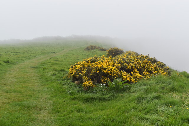
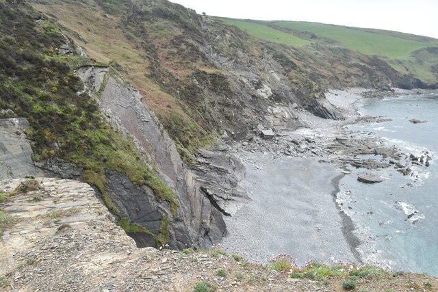
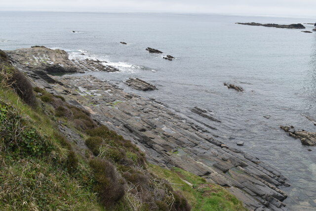
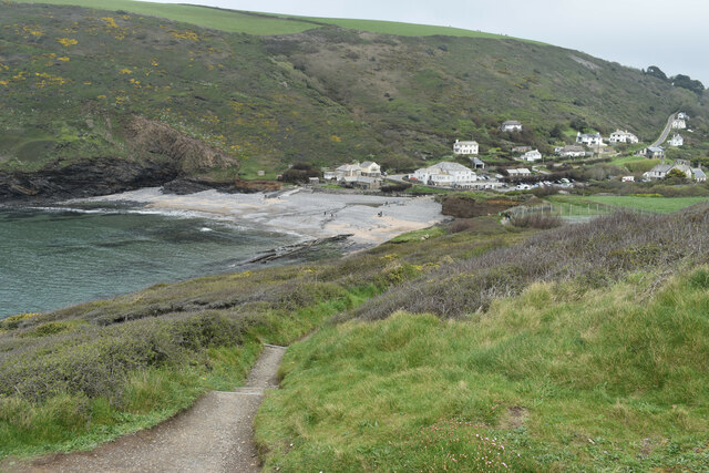
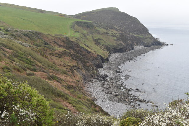
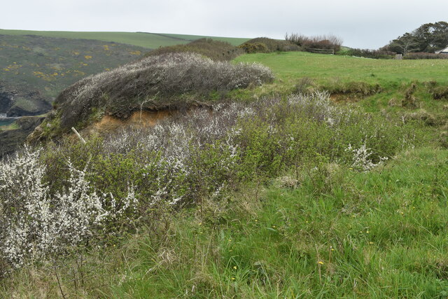
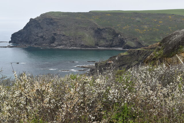
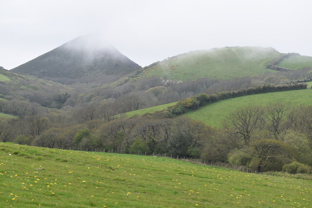
Black Rock is a small, uninhabited island located off the coast of Cornwall, England. Situated approximately 500 meters from the mainland, it is known for its rugged beauty and rich wildlife. The island gets its name from the large black rock formations that dominate its landscape.
Covering an area of around 2 hectares, Black Rock is a haven for various bird species, including guillemots, razorbills, and puffins. The island's cliffs provide ideal nesting spots, making it a popular destination for birdwatchers and nature enthusiasts.
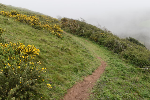
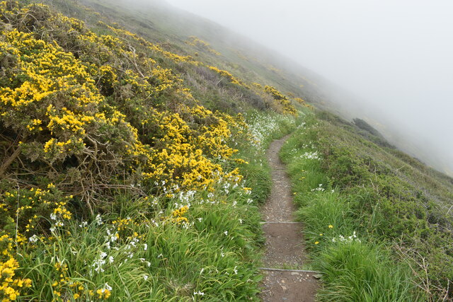
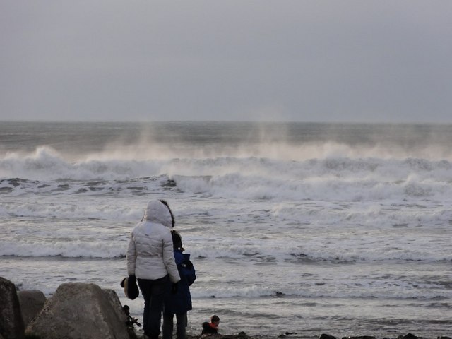
Access to Black Rock is limited due to its remote location and lack of visitor facilities. However, during low tide, it is possible to reach the island on foot via a causeway that emerges from the water. This offers a unique opportunity to explore its rocky shores and tidal pools, which are teeming with marine life such as crabs, starfish, and small fish.
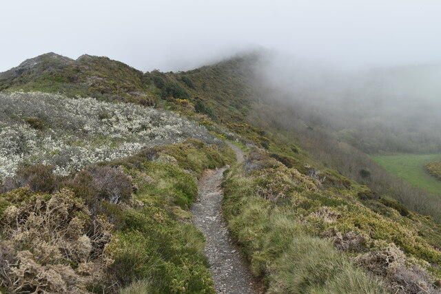
Black Rock also has historical significance. It is believed to have been a site for smuggling activities in the past due to its secluded nature and hidden caves. The island's rocky terrain and caves make it an intriguing spot for adventurers to explore and uncover remnants of its smuggling history.
Overall, Black Rock is a picturesque and wildlife-rich island that offers a glimpse into Cornwall's natural beauty. Its rugged cliffs, diverse bird population, and historical significance make it an attractive destination for those seeking a unique and immersive experience in nature.
If you have any feedback on the listing, please let us know in the comments section below.
Black Rock Images
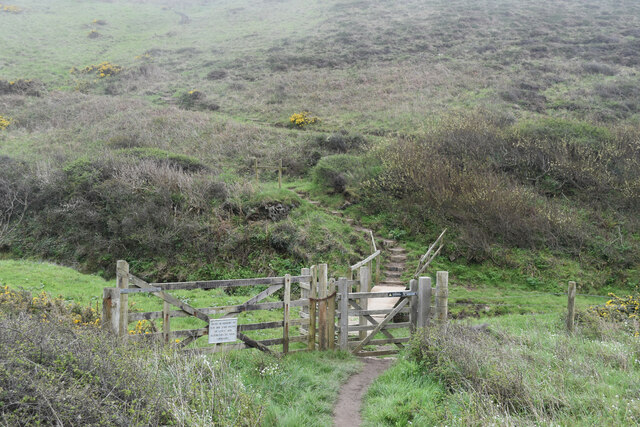
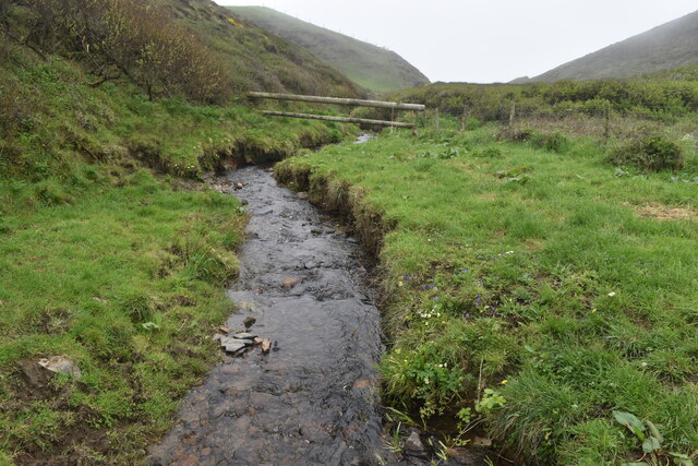
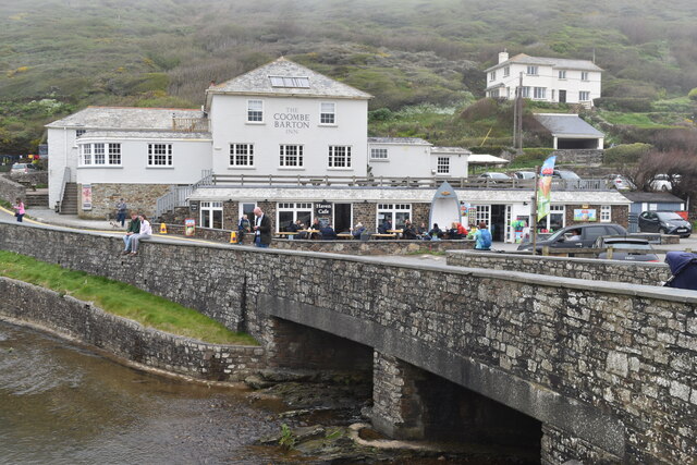
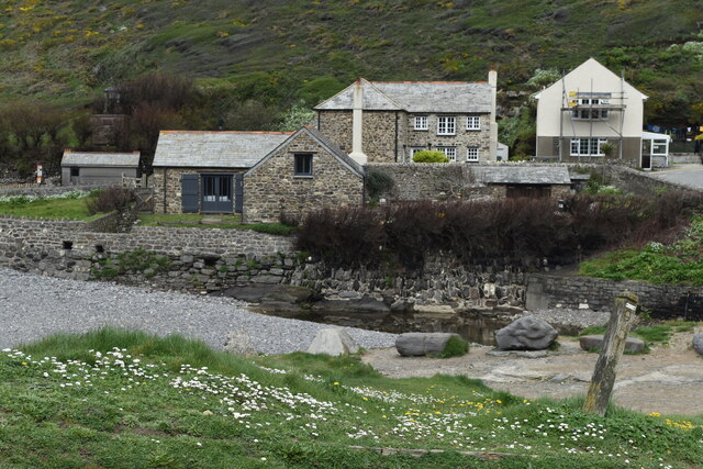
Images are sourced within 2km of 50.744321/-4.6393617 or Grid Reference SX1397. Thanks to Geograph Open Source API. All images are credited.
Black Rock is located at Grid Ref: SX1397 (Lat: 50.744321, Lng: -4.6393617)
Unitary Authority: Cornwall
Police Authority: Devon and Cornwall
What 3 Words
///steam.searcher.types. Near Jacobstow, Cornwall
Nearby Locations
Related Wikis
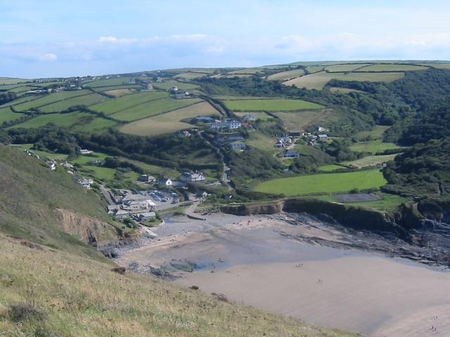
Crackington Haven
Crackington Haven (Cornish: Porthkragen, meaning "sandstone cove") is a coastal village in Cornwall, England, United Kingdom. It is in the civil parish...
St Gennys
St Gennys (Standard Written Form: S. Gwynnas) is a coastal civil parish and small settlement in north Cornwall, England, United Kingdom. The village of...

Mineshope
Mineshope is a hamlet in the parish of St Gennys, Cornwall, England. == References ==
Sweets, Cornwall
Sweets is a hamlet between Middle Crackington and Higher Crackington in north Cornwall, England, United Kingdom. == References ==
Nearby Amenities
Located within 500m of 50.744321,-4.6393617Have you been to Black Rock?
Leave your review of Black Rock below (or comments, questions and feedback).