Carreg Bica
Island in Pembrokeshire
Wales
Carreg Bica

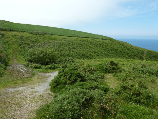
Carreg Bica is a small island located off the coast of Pembrokeshire, Wales. It is situated in the Celtic Sea, about 1.5 miles southwest of the town of St Davids. The island is accessible by boat, with several tour operators offering trips to explore its natural beauty.
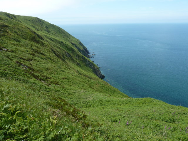
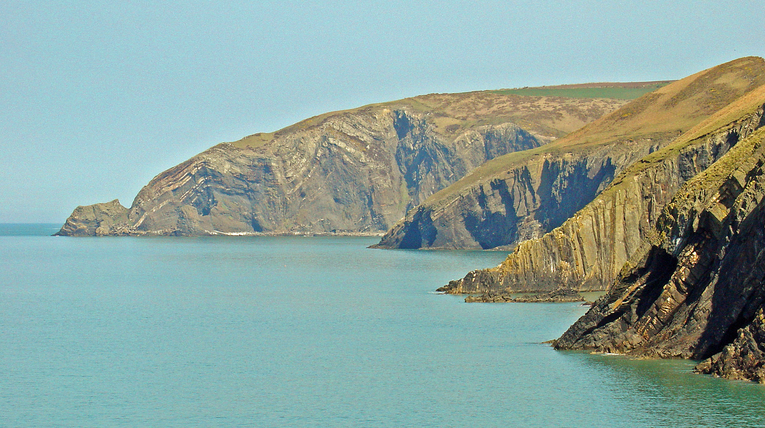
Measuring approximately 500 meters in length and 300 meters in width, Carreg Bica boasts stunning cliffs that rise up to 30 meters above sea level. The island is predominantly made up of rugged rock formations, with little vegetation. It is known for its distinctive pointed pinnacle, which gives the island its name as "Carreg Bica" translates to "Beak Rock" in Welsh.
Carreg Bica is a popular spot for birdwatchers, as it is home to various seabirds such as razorbills, guillemots, and kittiwakes. The surrounding waters are also rich in marine life, making it a favored spot for snorkeling and diving enthusiasts.
In addition to its natural beauty, Carreg Bica holds historical significance. It is believed to have been used as a lookout point during the Viking invasions in the 9th and 10th centuries, with some evidence of Viking activity found on the island.
Overall, Carreg Bica offers visitors a unique opportunity to explore a small, rugged island with breathtaking cliffs and abundant wildlife. Whether it's birdwatching, diving, or simply enjoying the stunning coastal scenery, Carreg Bica is a must-visit destination for nature lovers and history enthusiasts alike.
If you have any feedback on the listing, please let us know in the comments section below.
Carreg Bica Images
Images are sourced within 2km of 52.062903/-4.7856401 or Grid Reference SN0944. Thanks to Geograph Open Source API. All images are credited.


Carreg Bica is located at Grid Ref: SN0944 (Lat: 52.062903, Lng: -4.7856401)
Unitary Authority: Pembrokeshire
Police Authority: Dyfed Powys
What 3 Words
///butlers.lookout.oatmeal. Near Nevern, Pembrokeshire
Nearby Locations
Related Wikis

Aberarth – Carreg Wylan
Aberarth – Carreg Wylan is a Site of Special Scientific Interest in Ceredigion, west Wales. It is a small coastal marine protected area with a reported...
Moylgrove
Moylgrove (Welsh: Trewyddel), also spelled Moylegrove, is a village and parish in north Pembrokeshire, Wales, about 4 miles (6.4 km) from Cardigan, in...

Ceibwr Bay
Ceibwr Bay (Welsh: Bae Ceibwr) is a bay opening into the Irish Sea in Pembrokeshire, west Wales. It is about 7 km west of Cardigan, and 3 km south of the...

St Dogmells Rural District
St Dogmells was a rural district in the administrative county of Pembrokeshire, Wales from 1894 to 1934. == Formation == The district was created by the...
Nearby Amenities
Located within 500m of 52.062903,-4.7856401Have you been to Carreg Bica?
Leave your review of Carreg Bica below (or comments, questions and feedback).