Cabin Door
Island in Pembrokeshire
Wales
Cabin Door

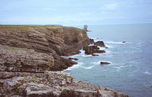
Cabin Door, Pembrokeshire, also known as Cabin Island, is a small island located off the coast of Pembrokeshire, Wales. Situated in the Celtic Sea, this picturesque island is surrounded by clear blue waters and boasts stunning views of the rugged Welsh coastline.
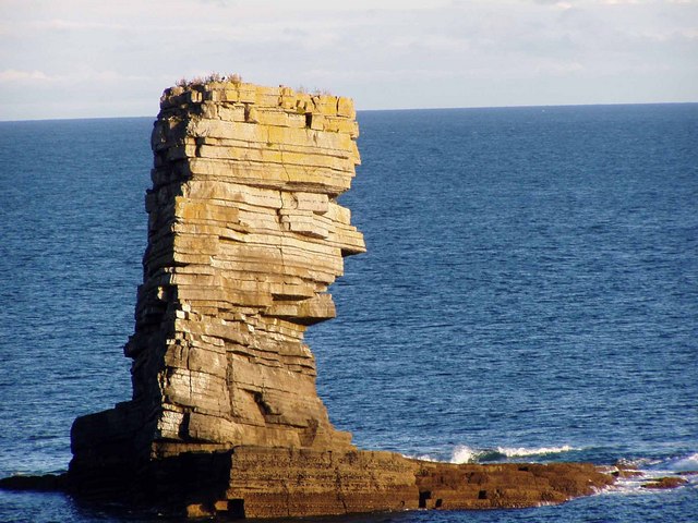
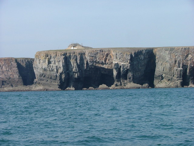
Measuring approximately 200 meters in length and 100 meters in width, Cabin Door is a relatively small island but is rich in natural beauty and wildlife. The island is characterized by its rocky terrain, with towering cliffs and caves that add to its charm. The cliffs are home to a variety of seabirds, including puffins, guillemots, and razorbills, making it a popular spot for birdwatching enthusiasts.
Access to Cabin Door is limited, as the island is only accessible by boat or during low tide when a causeway is exposed. This adds to the sense of seclusion and tranquility that can be experienced on the island. Visitors can explore the rocky shores, take in panoramic views of the surrounding sea, or simply enjoy a peaceful picnic amidst the natural beauty.
The island is named after a small cabin-like structure, known as the "Cabin Door," which was once used by fishermen as a storage facility for their equipment. Although the cabin is no longer in use, its remnants can still be found on the island, adding a touch of history to the already captivating landscape.
Overall, Cabin Door, Pembrokeshire is a hidden gem for nature lovers and those seeking a peaceful retreat. With its dramatic cliffs, diverse birdlife, and secluded atmosphere, it offers a unique and memorable experience for visitors.
If you have any feedback on the listing, please let us know in the comments section below.
Cabin Door Images
Images are sourced within 2km of 51.617253/-5.038761 or Grid Reference SR8995. Thanks to Geograph Open Source API. All images are credited.


Cabin Door is located at Grid Ref: SR8995 (Lat: 51.617253, Lng: -5.038761)
Unitary Authority: Pembrokeshire
Police Authority: Dyfed Powys
What 3 Words
///mailboxes.maybe.slams. Near Castlemartin, Pembrokeshire
Nearby Locations
Related Wikis

Crow Rock
Crow Rock is a rock located off of Linney Head, Pembrokeshire, in west Wales. It is considered to be a good diving location, because of its deep gullies...
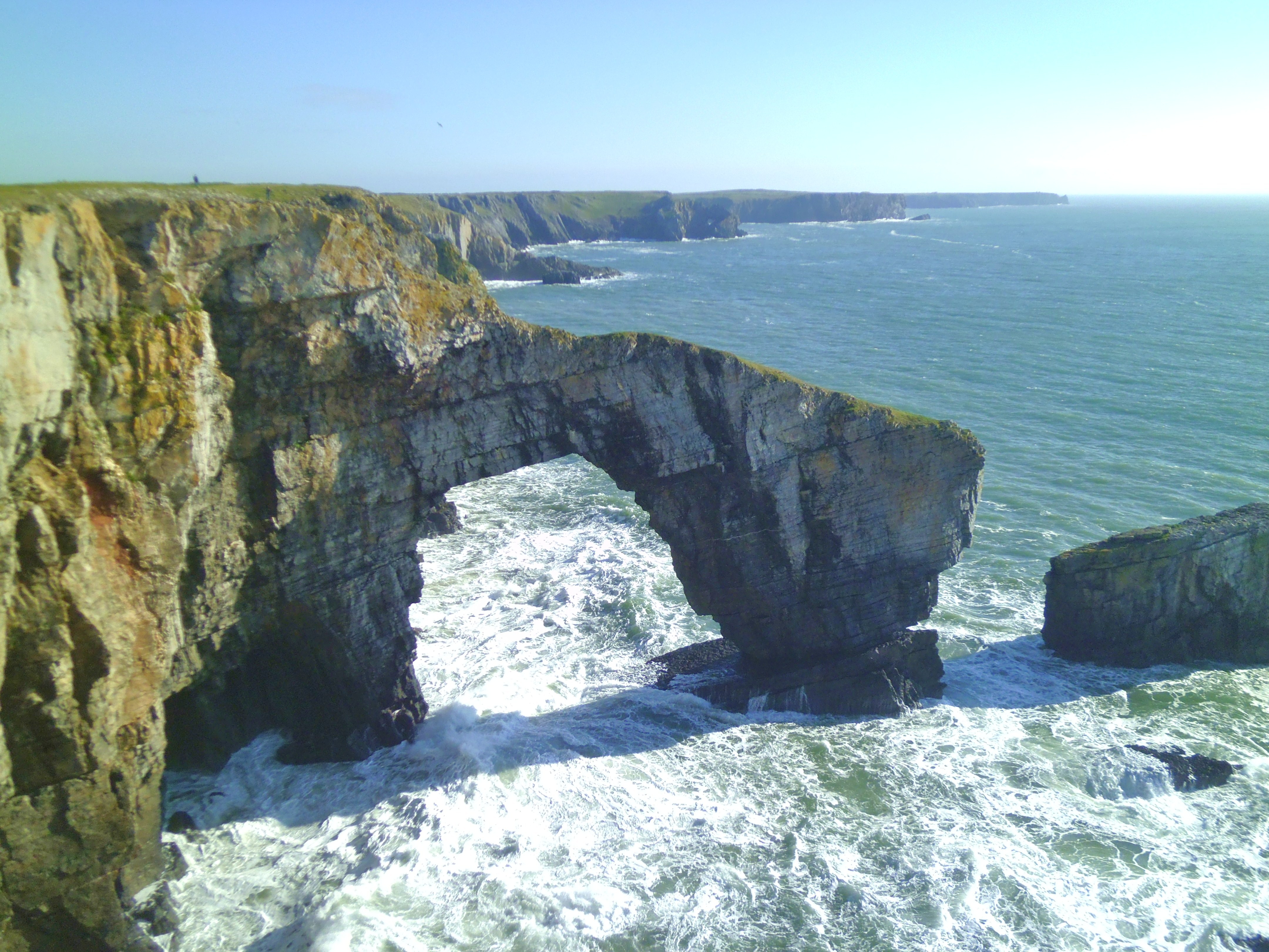
Green Bridge of Wales
The Green Bridge of Wales (Welsh: Pont Werdd Cymru) is a natural arch formed from Carboniferous Limestone within the Pembrokeshire Coast National Park...

Church of St Michael and All Angels, Castlemartin, Pembrokeshire
The Church of St Michael and All Angels, Castlemartin, Pembrokeshire, Wales is a redundant church dating from the 13th century. A Grade I listed building...
Castlemartin, Pembrokeshire
Castlemartin (Welsh: Castell Martin) is a village and parish in the community of Stackpole and Castlemartin, Pembrokeshire, Wales, in the Pembrokeshire...
Nearby Amenities
Located within 500m of 51.617253,-5.038761Have you been to Cabin Door?
Leave your review of Cabin Door below (or comments, questions and feedback).