Eilean Mór
Island in Argyllshire
Scotland
Eilean Mór
Eilean Mór, also known as Eilean Mor or Eilean Mòr, is a small island located off the west coast of Scotland in Argyllshire. It is part of the Inner Hebrides and is situated in the Sound of Islay, between the islands of Islay and Jura.
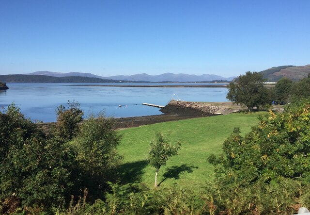
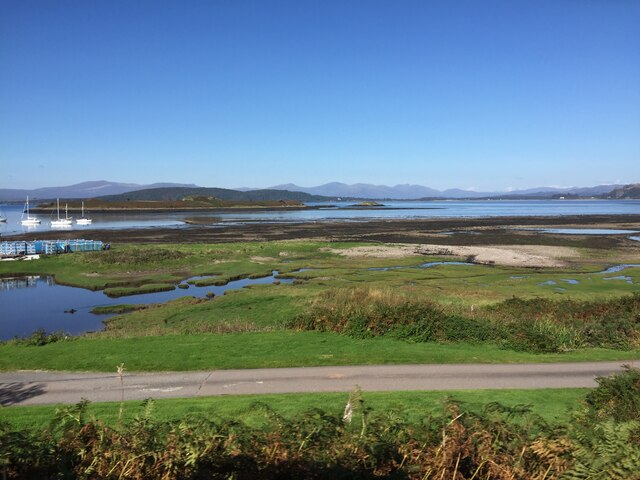
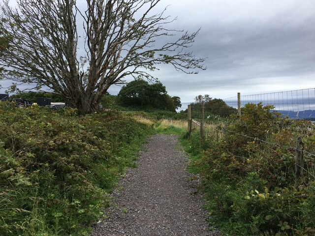
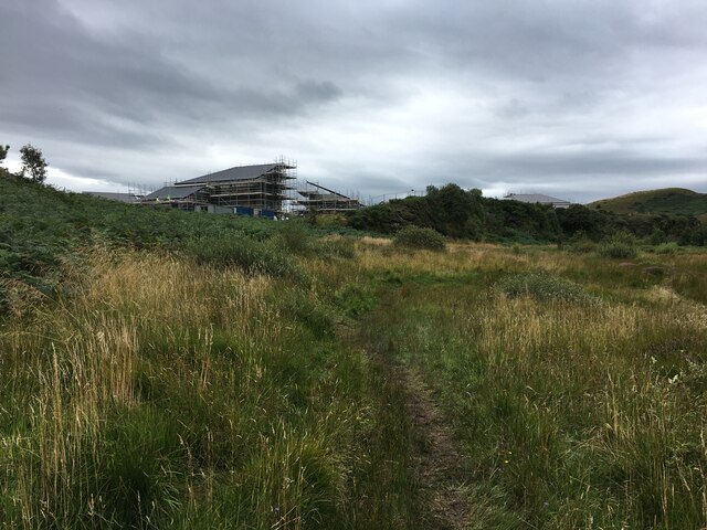
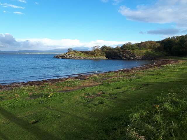
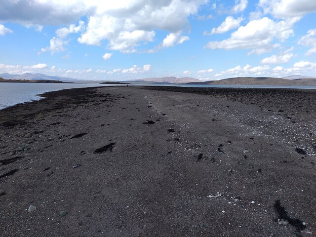
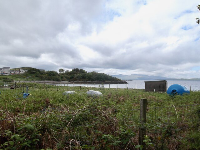
Covering an area of approximately 12 hectares, Eilean Mór is largely uninhabited and devoid of any permanent structures. The island is characterized by its rugged and rocky terrain, with steep cliffs and a jagged coastline. It is surrounded by the crystal-clear waters of the Atlantic Ocean, providing visitors with stunning views and a sense of tranquility.
Despite its small size, Eilean Mór holds historical significance. The island is home to the famous lighthouse known as the Flannan Isles Lighthouse, which was constructed in 1899. This iconic structure stands tall on the western side of the island and played a vital role in guiding ships through the treacherous waters of the Hebrides.
Eilean Mór is also known for the mysterious disappearance of its three lighthouse keepers in 1900. This unsolved mystery has captured the imagination of many and adds an air of intrigue to the island's history.
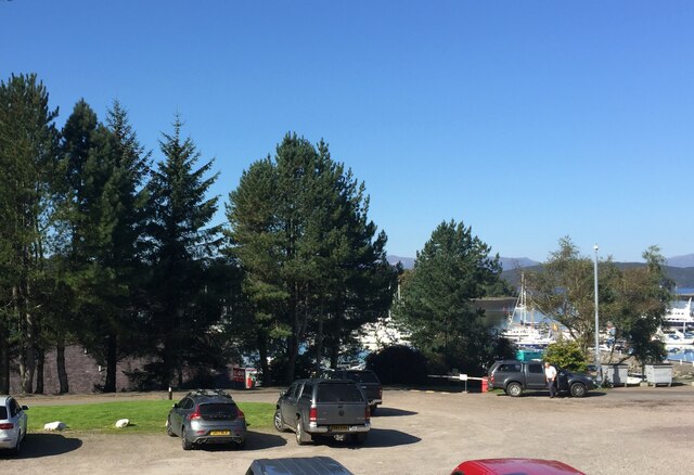
Visitors to Eilean Mór can enjoy the natural beauty of the island, with opportunities for bird watching, hiking, and photography. Access to the island is limited, typically requiring a boat or ferry ride from nearby Islay or Jura.
Overall, Eilean Mór offers a unique and remote island experience, combining natural beauty with a touch of history and mystery.
If you have any feedback on the listing, please let us know in the comments section below.
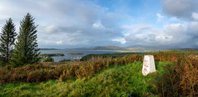
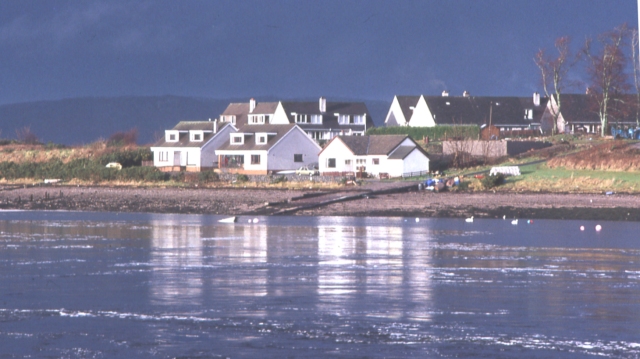
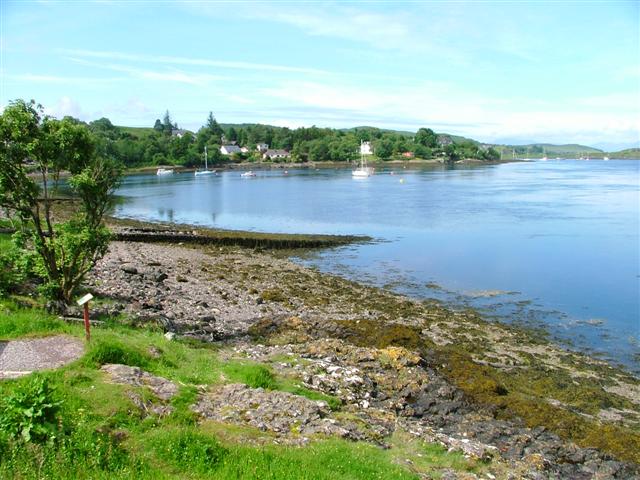
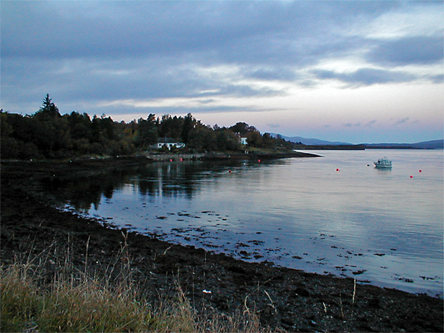
Eilean Mór Images
Images are sourced within 2km of 56.457646/-5.4312619 or Grid Reference NM8834. Thanks to Geograph Open Source API. All images are credited.


Eilean Mór is located at Grid Ref: NM8834 (Lat: 56.457646, Lng: -5.4312619)
Unitary Authority: Argyll and Bute
Police Authority: Argyll and West Dunbartonshire
What 3 Words
///stance.rebounds.conquest. Near Oban, Argyll & Bute
Nearby Locations
Related Wikis

Scottish Association for Marine Science
The Scottish Association for Marine Science (SAMS) is one of Europe's leading marine science research organisations, one of the oldest oceanographic organisations...
Dunbeg
Dunbeg (Scottish Gaelic: An Dùn Beag), formerly known as Dunstaffnage (Scottish Gaelic: Dùn Stafhainis or Dùn Staidhinis), is a village about 2+1⁄2 miles...

Oban Airport
Oban Airport (Scottish Gaelic: Port-adhair an Òbain) (IATA: OBN, ICAO: EGEO) is located 5 nautical miles (9.3 km; 5.8 mi) northeast of Oban, near the village...

SS Breda
SS Breda was a Dutch cargo-passenger ship sunk in Scotland during World War II. == Construction == The ship was built at the Nieuwe Waterweg Scheepsbouwmaatschappij...
Nearby Amenities
Located within 500m of 56.457646,-5.4312619Have you been to Eilean Mór?
Leave your review of Eilean Mór below (or comments, questions and feedback).