August Rock
Island in Cornwall
England
August Rock

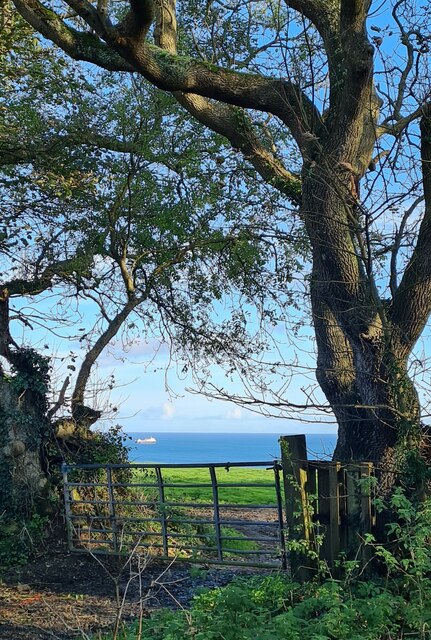
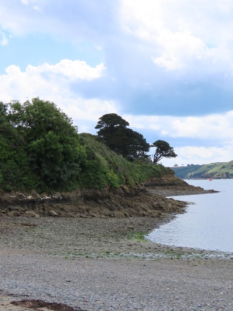
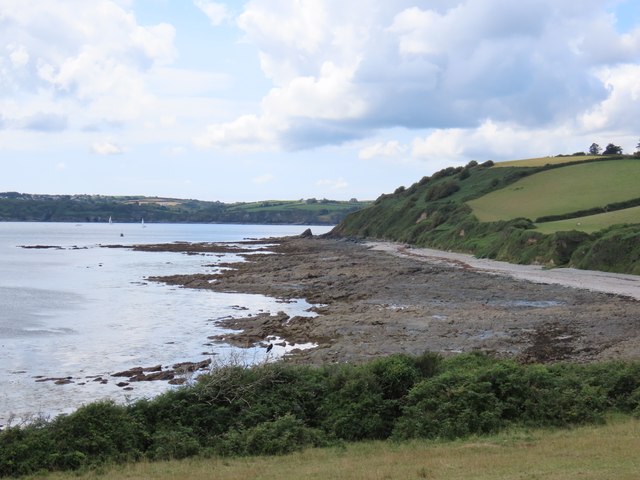
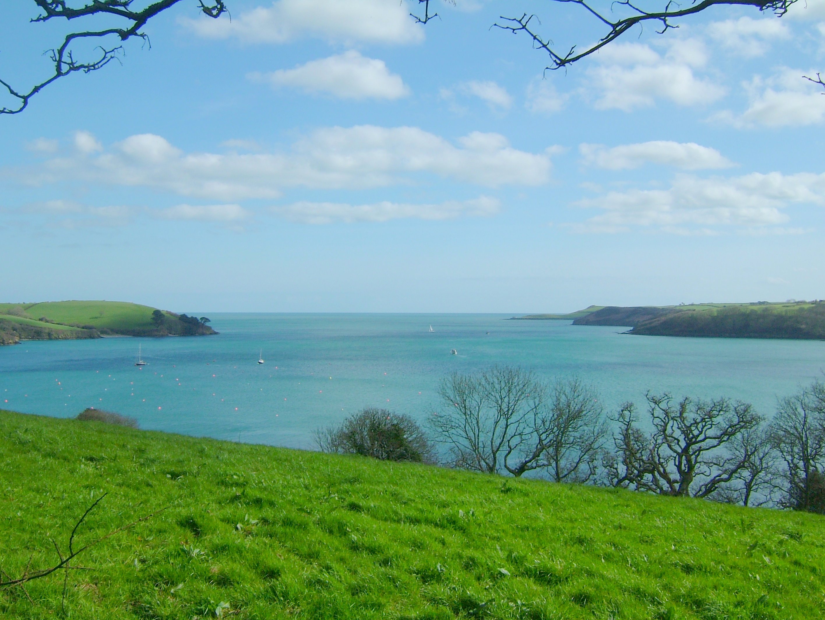
August Rock is a small island located off the coast of Cornwall, England. Situated in the Celtic Sea, it is part of the Isles of Scilly archipelago, a popular tourist destination known for its stunning natural beauty and rich history.
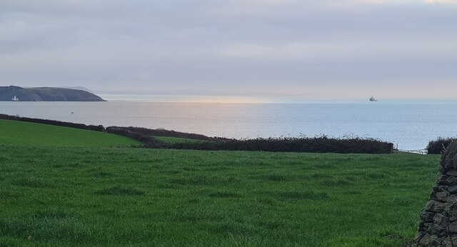
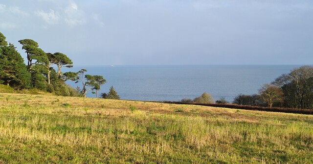
The island measures approximately 1 square kilometer and is characterized by rocky cliffs, rugged terrain, and beautiful sandy beaches. August Rock is uninhabited, making it a tranquil and secluded spot for visitors seeking a peaceful retreat.
The island is a haven for wildlife enthusiasts, as it is home to a variety of seabirds, including puffins, razorbills, and kittiwakes. Seals can often be spotted lounging on the rocks, adding to the island's charm.
August Rock is accessible by boat from the nearby islands of St. Mary's and Tresco, and visitors can enjoy activities such as hiking, birdwatching, and picnicking. The island's rocky coastline is ideal for exploring, with hidden coves and caves waiting to be discovered.
History buffs will appreciate August Rock's connection to the ancient past, as it is believed to have been inhabited during the Bronze Age. Remains of ancient settlements and burial sites have been found on the island, adding to its historical significance.
Whether you're seeking solitude, natural beauty, or a glimpse into the past, August Rock offers a unique and memorable experience for visitors to Cornwall's Isles of Scilly.
If you have any feedback on the listing, please let us know in the comments section below.
August Rock Images
Images are sourced within 2km of 50.102776/-5.0845836 or Grid Reference SW7927. Thanks to Geograph Open Source API. All images are credited.


August Rock is located at Grid Ref: SW7927 (Lat: 50.102776, Lng: -5.0845836)
Unitary Authority: Cornwall
Police Authority: Devon and Cornwall
What 3 Words
///bluntly.pheasants.redeeming. Near Falmouth, Cornwall
Nearby Locations
Related Wikis

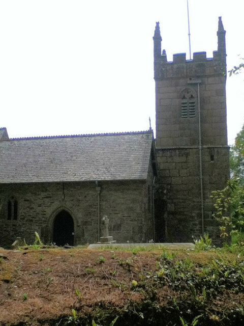
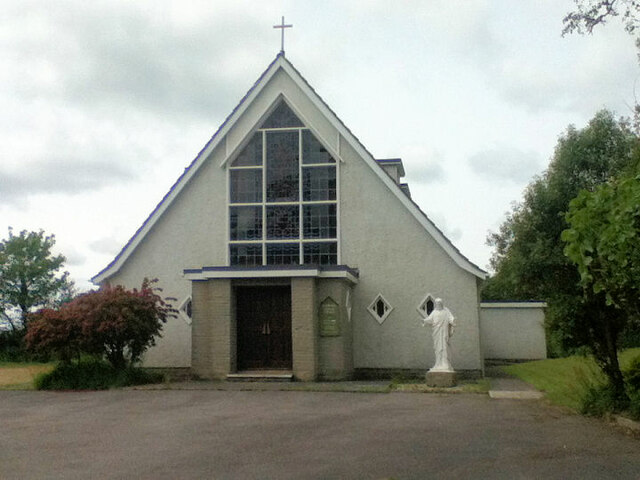
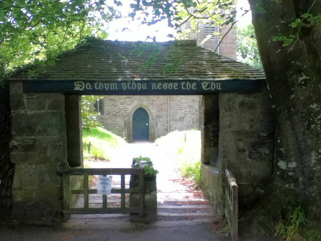
St Mawnan and St Stephen's Church, Mawnan
St Mawnan and St Stephen's Church, Mawnan is a Grade II* listed parish church in the Church of England Diocese of Truro in Mawnan, Cornwall, England, UK...
Helford River
The Helford River (Cornish: Dowr Mahonyer) is a ria (flooded river valley) in Cornwall, England, fed by small streams into its many creeks. There are seven...

Mawnan
Mawnan (Cornish: Maunan, meaning St Maunan) is a village and civil parish in south Cornwall, England, United Kingdom. It is in the former administrative...

SS Rock Island Bridge
Rock Island Bridge was a steam cargo ship built in 1919 by Submarine Boat Company of Newark for the United States Shipping Board (USSB) as part of the...
Nearby Amenities
Located within 500m of 50.102776,-5.0845836Have you been to August Rock?
Leave your review of August Rock below (or comments, questions and feedback).