Eilean na Bà Mòr
Island in Ross-shire
Scotland
Eilean na Bà Mòr
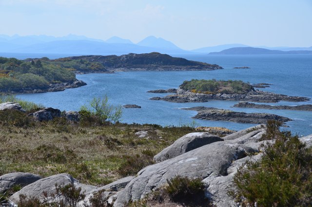
Eilean na Bà Mòr is a small island located off the northwest coast of Scotland in Ross-shire. It is situated in the Inner Sound, between the Isle of Skye and the mainland. The name of the island translates to "big island of the cattle" in Scottish Gaelic.
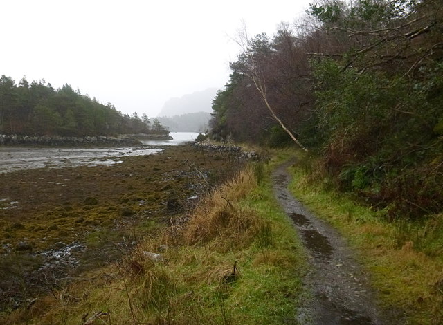
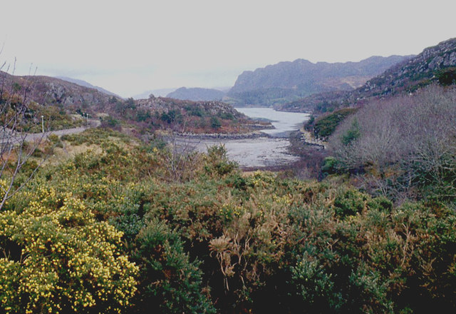
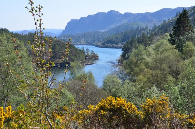
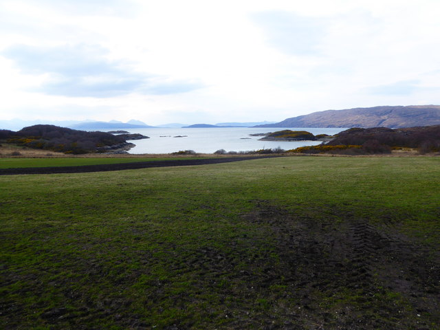
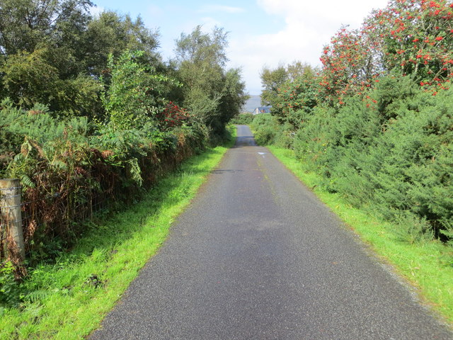
Measuring approximately 50 acres in size, Eilean na Bà Mòr is known for its rugged and picturesque landscape. The island is characterized by rocky cliffs, heather-covered hills, and grassy fields. It offers stunning panoramic views of the surrounding sea and nearby islands.
The island has a rich history, with evidence of human occupation dating back to prehistoric times. It has been used for various purposes throughout the centuries, including farming and grazing livestock. Ruins of old settlements and abandoned structures can still be seen on the island, providing glimpses into its past.
Eilean na Bà Mòr is also home to a diverse range of wildlife. Sea birds such as puffins, guillemots, and razorbills can be spotted nesting on the cliffs, while grey seals can often be seen basking on the rocks. The surrounding waters are known for their abundant marine life, attracting divers and snorkelers.
Access to the island is limited, with no permanent residents or facilities. However, visitors can reach Eilean na Bà Mòr by boat, and it is a popular destination for day trips and nature enthusiasts looking to explore its natural beauty and tranquility.
If you have any feedback on the listing, please let us know in the comments section below.
Eilean na Bà Mòr Images
Images are sourced within 2km of 57.345883/-5.6662301 or Grid Reference NG7934. Thanks to Geograph Open Source API. All images are credited.


Eilean na Bà Mòr is located at Grid Ref: NG7934 (Lat: 57.345883, Lng: -5.6662301)
Unitary Authority: Highland
Police Authority: Highlands and Islands
What 3 Words
///eager.whirlpool.face. Near Kyleakin, Highland
Nearby Locations
Related Wikis

Plockton
Plockton (Scottish Gaelic: Am Ploc/Ploc Loch Aillse) is a village in the Lochalsh, Wester Ross area of the Scottish Highlands with a 2020 population of...

Plockton High School
Plockton High School is a 221-pupil high school in the village of Plockton, Scotland. The catchment area for the school stretches from Applecross in the...

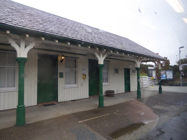
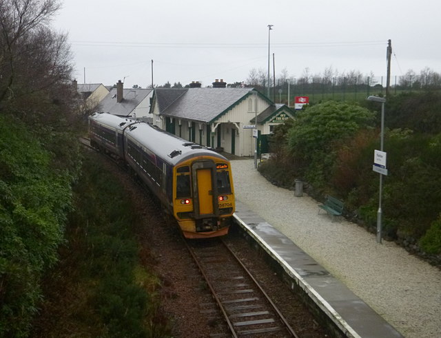
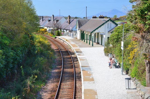
Plockton railway station
Plockton railway station is a railway station on the Kyle of Lochalsh Line, serving the village of Plockton in the Highlands, north-west Scotland. The...

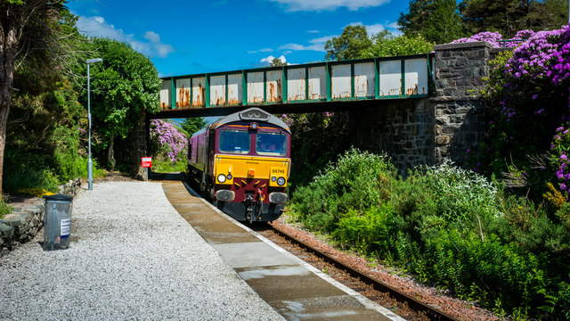
Duncraig railway station
Duncraig railway station is a remote railway station by the shore of Loch Carron on the Kyle of Lochalsh Line, originally (privately) serving Duncraig...
Nearby Amenities
Located within 500m of 57.345883,-5.6662301Have you been to Eilean na Bà Mòr?
Leave your review of Eilean na Bà Mòr below (or comments, questions and feedback).