Bosullow, Little

Settlement in Cornwall

England

Bosullow, Little

Chimney and shaft buildings as part of Ding Dong Mines in Penwith
Chimney and shaft buildings as part of Ding Dong Mines in Penwith Credit: Tom Page

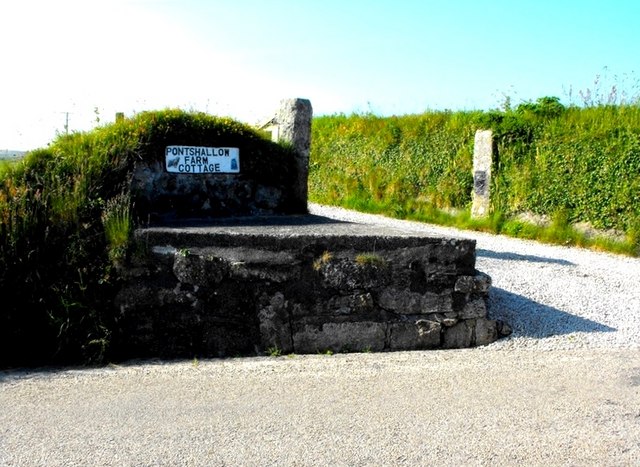
Bosullow is a small rural hamlet located in the parish of Little, Cornwall, in the southwestern part of England. Situated amidst picturesque countryside, it is nestled near the coast, just a few miles away from the popular town of Penzance.

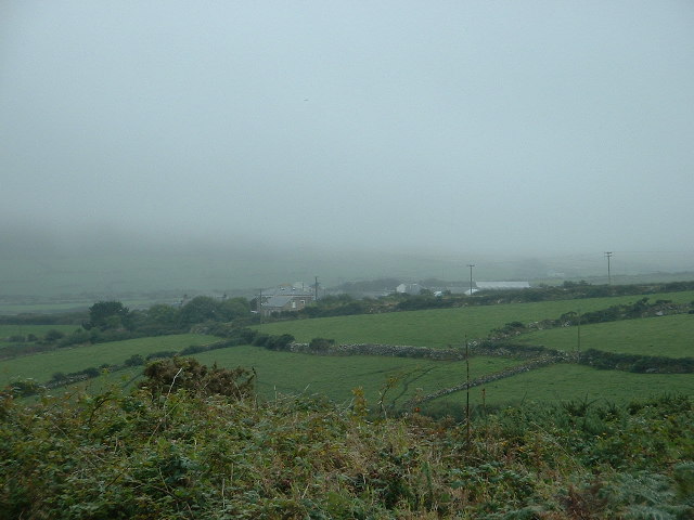
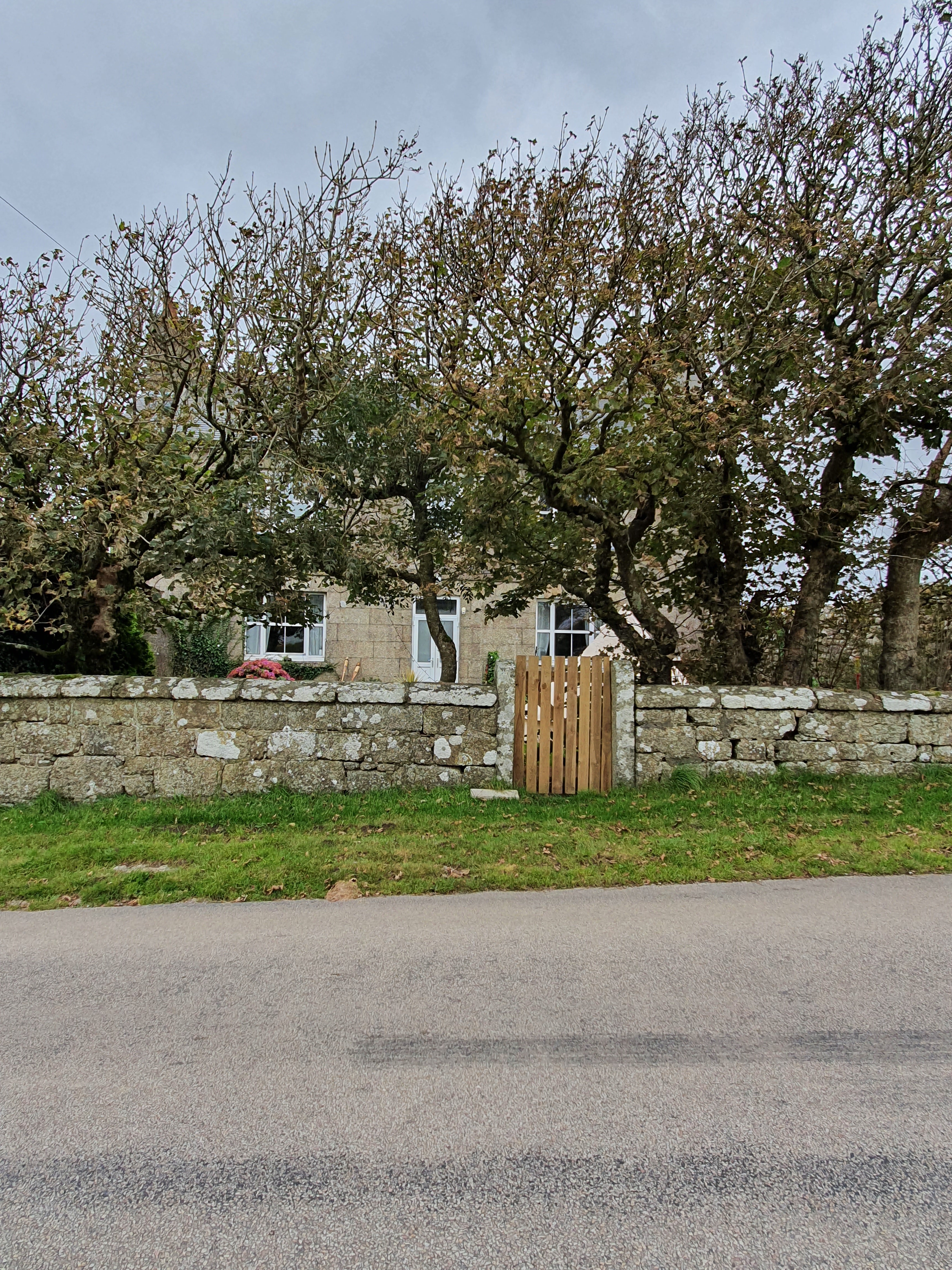
With a population of only a handful of residents, Bosullow exudes a tranquil and idyllic charm. The hamlet is characterized by its traditional stone cottages, many of which boast beautiful gardens filled with colorful flowers. The surrounding landscape is dominated by rolling hills and farmland, creating a serene and peaceful atmosphere.

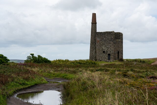
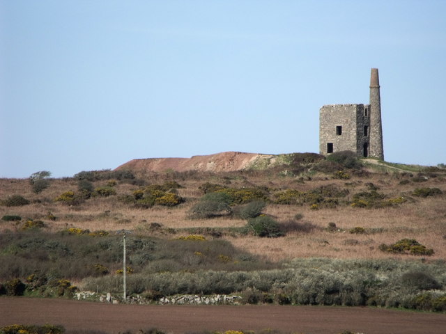
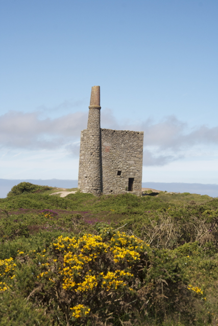
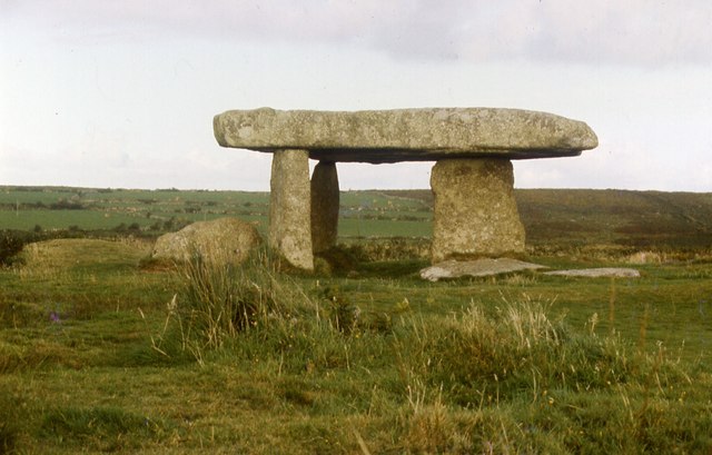
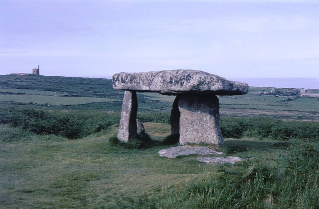
Despite its small size, Bosullow has a rich historical heritage. The area is home to several ancient archaeological sites, including the Bosullow Trehyllys stone circle, which dates back to the Bronze Age. This stone circle is a popular destination for visitors interested in Cornwall's prehistoric past.

For amenities, residents of Bosullow rely on the nearby town of Penzance, where they can find a variety of shops, restaurants, and services. The town also offers excellent transportation links, including a railway station, making it convenient for commuting or exploring other parts of Cornwall.

Surrounded by natural beauty, Bosullow is an ideal location for outdoor enthusiasts. The nearby coastline offers stunning views, and visitors can enjoy walks along the cliffs or relax on sandy beaches. The area also provides opportunities for activities such as hiking, cycling, and birdwatching.

In summary, Bosullow is a charming and tranquil hamlet in Cornwall, offering a peaceful rural lifestyle amidst stunning natural scenery and a rich historical heritage.

If you have any feedback on the listing, please let us know in the comments section below.

Bosullow, Little Images

Images are sourced within 2km of 50.149167/-5.616431 or Grid Reference SW4133. Thanks to Geograph Open Source API. All images are credited.
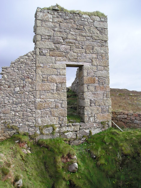
Chimney and shaft buildings as part of Ding Dong Mines in Penwith
Stone Stile, Morvah On the B3306 East of the entrance to a camping field, on Cornwall footpath 106/2/1 looking SE.
The view looking out is <a href="https://www.geograph.org.uk/photo/7557474">SW4035 : Stone Stile, Morvah</a>.
Stone Stile, Morvah
On the B3306 East of the entrance to a camping field, on Cornwall footpath 106/2/1 looking SE. The view looking out is SW4035 : Stone Stile, Morvah.
Stone Stile, Morvah On the B3306 East of the entrance to a camping field, on Cornwall footpath 106/2/1 looking out.
The view SE is <a href="https://www.geograph.org.uk/photo/7557473">SW4035 : Stone Stile, Morvah</a>.
Stone Stile, Morvah
On the B3306 East of the entrance to a camping field, on Cornwall footpath 106/2/1 looking out. The view SE is SW4035 : Stone Stile, Morvah.
Field boundary This Cornish hedge is probably '000s of years old.
Field boundary
This Cornish hedge is probably '000s of years old.
Access point for the Higher Downs The ancient field boundary has suffered under modern foot traffic, en route to Chun Quoit and Castle.
Access point for the Higher Downs
The ancient field boundary has suffered under modern foot traffic, en route to Chun Quoit and Castle.
Faceless Defaced milestone on Bosullow Common.
Faceless
Defaced milestone on Bosullow Common.
Lanyon Quoit, Cornwall
Engine house at Ding Dong mine, Cornwall
Standing out Another redundant milk-churn stand in Penwith.
Standing out
Another redundant milk-churn stand in Penwith.
Ding Dong Mine Engine House
Lanyon Quoit 1987
Lanyon Quoit 1987
Lanyon Quoit The giant's table; the top is 13 tonnes. This is an ancient burial chamber.
Lanyon Quoit
The giant's table; the top is 13 tonnes. This is an ancient burial chamber.
Standing Stone
Standing Stone
Lanyon Quoit
Lanyon Quoit
B3306 approaches Trevowhan
Remains of Engine House, Morvah Hill Mine
Watch Croft [White Downs] Fourth Marilyn of the day and it's still dry, warm with watery sunshine, again not a hill for shorts, good views with lots of mining activity.
Name: Watch Croft [White Downs]
Hill number: 2887
Height: 252m / 827ft
Area: 40: Cornwall & Devon
Class: Ma
Grid ref: SW 42047 35703
Summit feature: rock tor 25m SW of trig point
Drop: 225m
Col: 27m  SW546337
Watch Croft [White Downs]
Fourth Marilyn of the day and it's still dry, warm with watery sunshine, again not a hill for shorts, good views with lots of mining activity. Name: Watch Croft [White Downs] Hill number: 2887 Height: 252m / 827ft Area: 40: Cornwall & Devon Class: Ma Grid ref: SW 42047 35703 Summit feature: rock tor 25m SW of trig point Drop: 225m Col: 27m SW546337
Lanyon Quoit On 19 October, 1815, Lanyon Quoit, a dolmen, was torn down by a storm. Nine years later enough money was raised by local inhabitants to re-erect the structure. During the storm one of the uprights was broken in half. Thus, there are only three uprights today and the structure does not stand as high as it once did.
Lanyon Quoit
On 19 October, 1815, Lanyon Quoit, a dolmen, was torn down by a storm. Nine years later enough money was raised by local inhabitants to re-erect the structure. During the storm one of the uprights was broken in half. Thus, there are only three uprights today and the structure does not stand as high as it once did.
Show me another place!

Bosullow, Little is located at Grid Ref: SW4133 (Lat: 50.149167, Lng: -5.616431)

Unitary Authority: Cornwall

Police Authority: Devon and Cornwall

What 3 Words

///clusters.cares.covenants. Near St Just, Cornwall

Related Wikis

Little Bosullow

Little Bosullow is a hamlet in the civil parish of Madron, Cornwall, England, UK. Great Bosullow is to the west, Bosullow is on the B3312 Madron to Morvah...

Great Bosullow

Great Bosullow (Cornish: Bos Chiwolow, meaning dwelling of the house of light) is a hamlet south-east of Morvah in west Cornwall, England, UK. Bosullow...
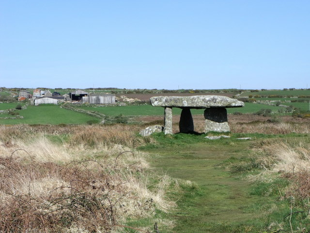
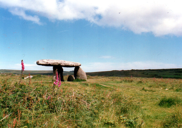
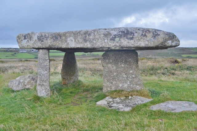
West Lanyon Quoit

West Lanyon Quoit, also known as Lower Lanyon Quoit, is the remains of a prehistoric dolmen situated in the parish of Madron in Cornwall grid reference...

Lanyon (Madron)

Lanyon is a hamlet in the parish of Madron in Cornwall, England, UK. It is situated on a north facing slope on the Madron to Morvah road. The nearest town...

Nearby Amenities

Located within 500m of 50.149167,-5.616431
Great Bosullow
Is In: Cornwall, England, UK
Name Kw: Boschiwolow Veur
Place: hamlet
Source: NPE
Wikidata: Q5598795
Wikipedia: en:Great Bosullow
Lat/Long: 50.1459235/-5.6200029
Little Bosullow
Name Kw: Boschiwolow Vyghan
Place: hamlet
Wikidata: Q6649228
Wikipedia: en:Little Bosullow
Lat/Long: 50.1496473/-5.6170369
Direction: SE
Generator Method: photovoltaic
Generator Output Electricity: small_installation
Generator Source: solar
Generator Type: solar_photovoltaic_panel
Location: roof
Power: generator
Source: bing
Lat/Long: 50.1465575/-5.6207715
Skreach West Country Cider
Addr City: Penzance
Addr Housename: Barrach Farm
Addr Postcode: TR20 8NP
Addr Street: Great Bosullow
Craft: brewery
Email: skreachcider@gmail.com
Phone: +44 1736 811090
Website: https://www.skreach.co.uk/
Lat/Long: 50.1464946/-5.6202553
Power: pole
Lat/Long: 50.1500148/-5.6225967
Power: pole
Lat/Long: 50.1499117/-5.6209981
Power: pole
Lat/Long: 50.1500234/-5.6199896
Power: pole
Lat/Long: 50.1501437/-5.6191233
Power: pole
Lat/Long: 50.1502503/-5.6182113
Power: pole
Lat/Long: 50.1503293/-5.6176427
Power: pole
Lat/Long: 50.1503775/-5.6170446
Power: pole
Lat/Long: 50.1504548/-5.616252
Power: pole
Lat/Long: 50.1503878/-5.6152958
Power: pole
Lat/Long: 50.1502726/-5.6129113
Power: pole
Lat/Long: 50.1502984/-5.6114978
Power: pole
Lat/Long: 50.1503225/-5.6100735
Power: pole
Lat/Long: 50.1532321/-5.6162024
Power: pole
Lat/Long: 50.1521838/-5.616256
Power: pole
Lat/Long: 50.1512531/-5.6163365
Power: pole
Transformer: distribution
Lat/Long: 50.1496771/-5.6171854
Power: pole
Transformer: distribution
Lat/Long: 50.1509137/-5.6224653
The data included in this document is from www.openstreetmap.org. The data is made available under ODbL.

Have you been to Bosullow, Little?

Leave your review of Bosullow, Little below (or comments, questions and feedback).